| mvermeulen.org : Home Blog Bike Trips |

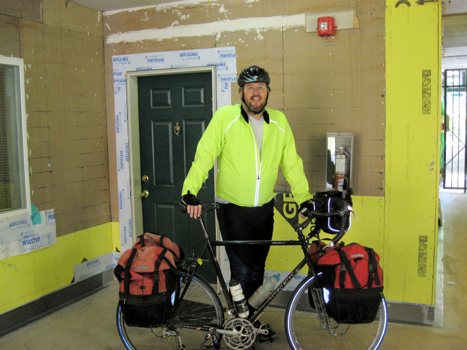
It was hot in Portland and there were many stoplights. Seemed like I was hitting red lights at least as often as green. The bike was a little sluggish and I wished I'd done some more riding recently. Despite all this, I was enthusiasticly riding along. My cycle tour had started at last!
The goal for the week is West Glacier. Somewhere over 650 miles away. This afternoon it was a simpler goal: get underway and to motel in Camas not far from start of the Gorge. I chose the larger streets to ride and noticed the weight both on bike and me. A little slow going but within 11 miles I had reached the I-205 bridge. Traffic zoomed past on both sides. I stopped briefly to photograph the Washington sign and then I was across.
On other side, some miles of cycling the Evergreen Highway. This was a concrete base road and had periodic wear issues. However, fairly flat and soon cycled remaining miles into Camas. I avoided 14 and even saw point where there was a "no bicycles" sign on it. Not normal procedure, but placed there for construction. Without much difficulty, reached the hotel and paused for the night. Only a short ride, but the trip was underway!


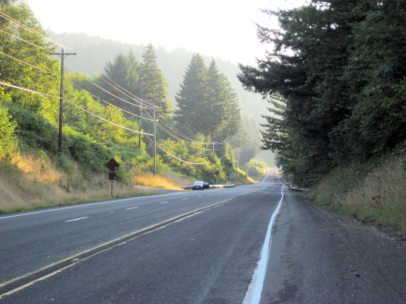


From here some more descents. I had skipped breakfast but took a short break near Bonneville Dam. The waters from the dam were still misting. It was good cycling after this but one impatient motorist decided to lay on the horn. I waved back (all five fingers) and continued on my way. Took another longer break in Bingen at 50 miles. There was McDonalds here. So far easy riding and making reasonable time.
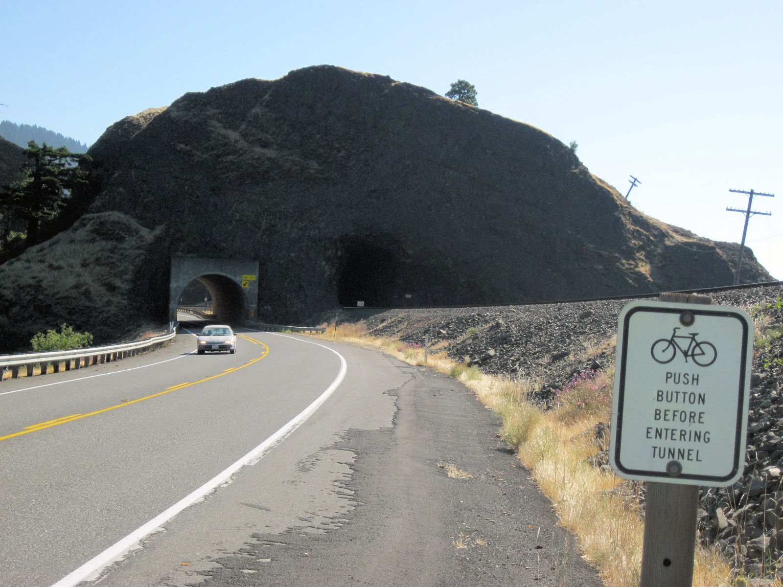
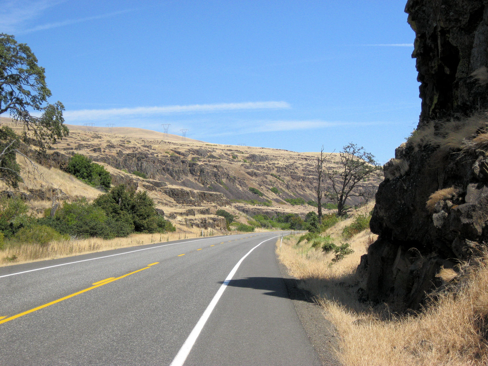
Prior to Bingen there were five tunnels and after Lyle another two. Bingen was across from Hood River and still lots of vegitation but not long after started moving into areas with less rain. Lyle real estate advertised half the rainfall of Hood River. Trees started disappearing from hills along the way. The road also had a little more climbing and it started to get warmer. Still made reasonable time until ~75 miles but then started slowing a lot.
Stopped to fix a flat caused from small metal brad and then was slogging up the hill in the heat. By time I reached Maryville Winery at 86 miles I was beat. I sat in their chairs for a bit before seeing what they might have to eat. Nothing too substantial so I got some chocolate and crackers. That and some rest helped me get recharged. Thought briefly about stopping for the day in Biggs but was feeling strong enough to climb the hill on 97.
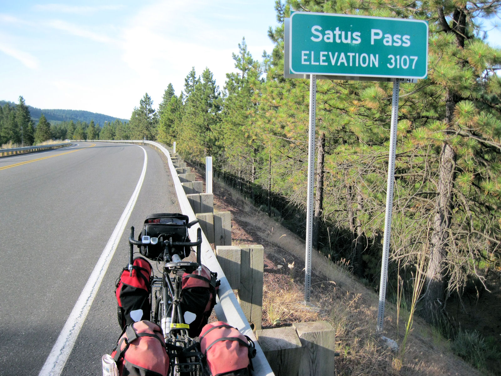
There was ~4 miles of hill to climb and I walked about half. By time I reached the top, I was going pretty slow, but made it in on a long and satisfying ride today.

It was a slow slog up some of the hills, but I was fresh and this was good climbing. Top even came a little quicker than expected. From here, it the first four miles was steep enough descent that I was braking and after that still some reasonable downhills in next five miles. There was a slight headwind, but the descent made up for it. In total I would have 50 miles of riding without any stores planned, so I had brought some extra water. I stopped once or twice on the descent, but overall made good time.
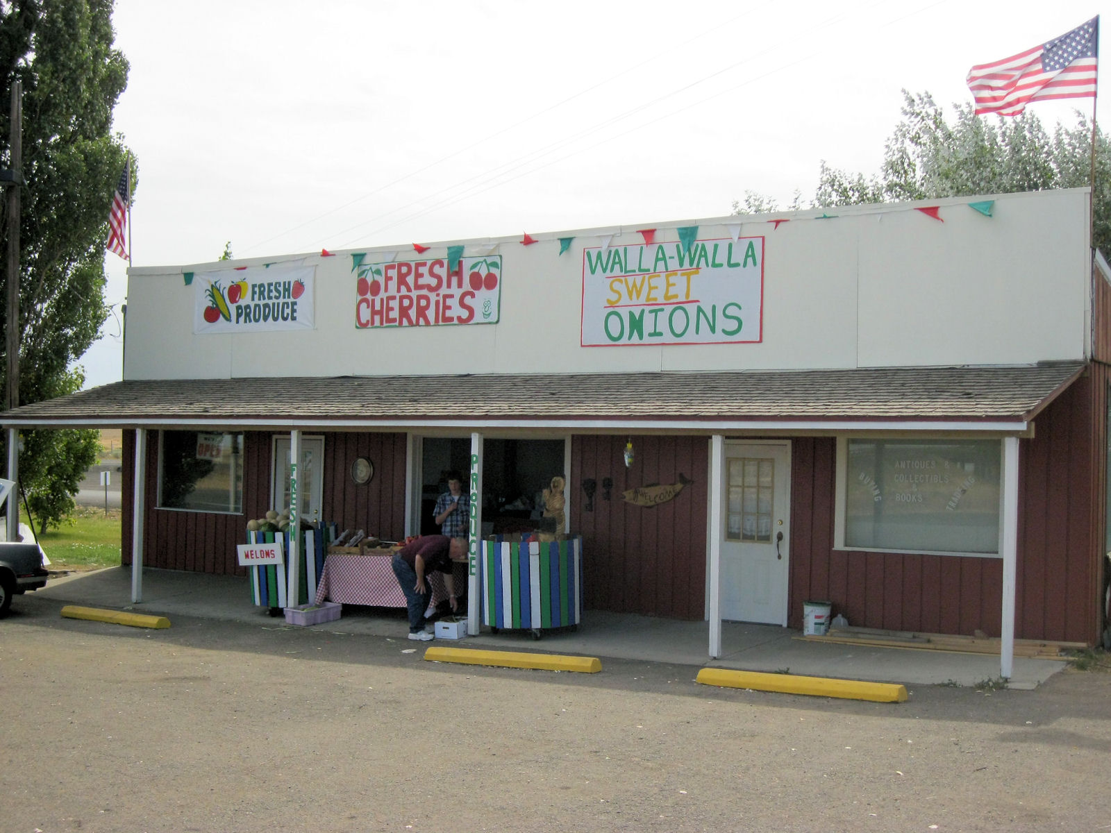
Just before Topponish at mile 49, I took a right and cut across to state route 22. The corn here was at least seven feet tall and looked healthy. It was starting to get warm, but I found my way to Granger and had lunch at another gas station. I took my time to relax and refuel.
After this point it was getting warmer. I looked up and found local roads that paralleled I-82 and took those for first bits. My original plan had been to stop in Sunnyside and then go northbound from there via Othello the next day. However, as I looked up the routes and local maps decided I might do better via Richland. A little busier on the road but also kept from doing 65 miles with no expected services. Also a little shorter if I could do some riding today. So I passed some of the motels at mile 65 and kept going to Prosser at mile 79. First motel was busy and second only had smoking rooms. Apparently, a wine festival this weekend, but was happy to have a room.
Mornings are still nice and cool and afternoon was barely over 90F, so a little cooler than earlier. However, noticing that I got some sun in the past few days. The area north of the Yakima was irrigated. I saw many irrigation canals and also some sprinklers. The route was via "Old Inland Expressway" that was fairly flat with only occasional ups and downs. After 17 miles I came into Benton and stopped for a brief snack at local store. After this, up and over a hill and then descending into Richmond. Signs said wind warning but wasn't too bad overall.
As I followed Kennedy road, I came to point where decided to join I-182 on the freeway to cross both the Yakima and Columbia Rivers. On both bridges I noticed cycle paths on the side, so not quite sure how I missed these crossings. However, despite this, I except for one honk, it was pretty straightforward to cycle on the main road and wide (but debris filled) shoulder. Once on other side, just past 30 miles I took exit and followed local streets north and east. Another stop at 34 miles and then following local county roads until mile 45.
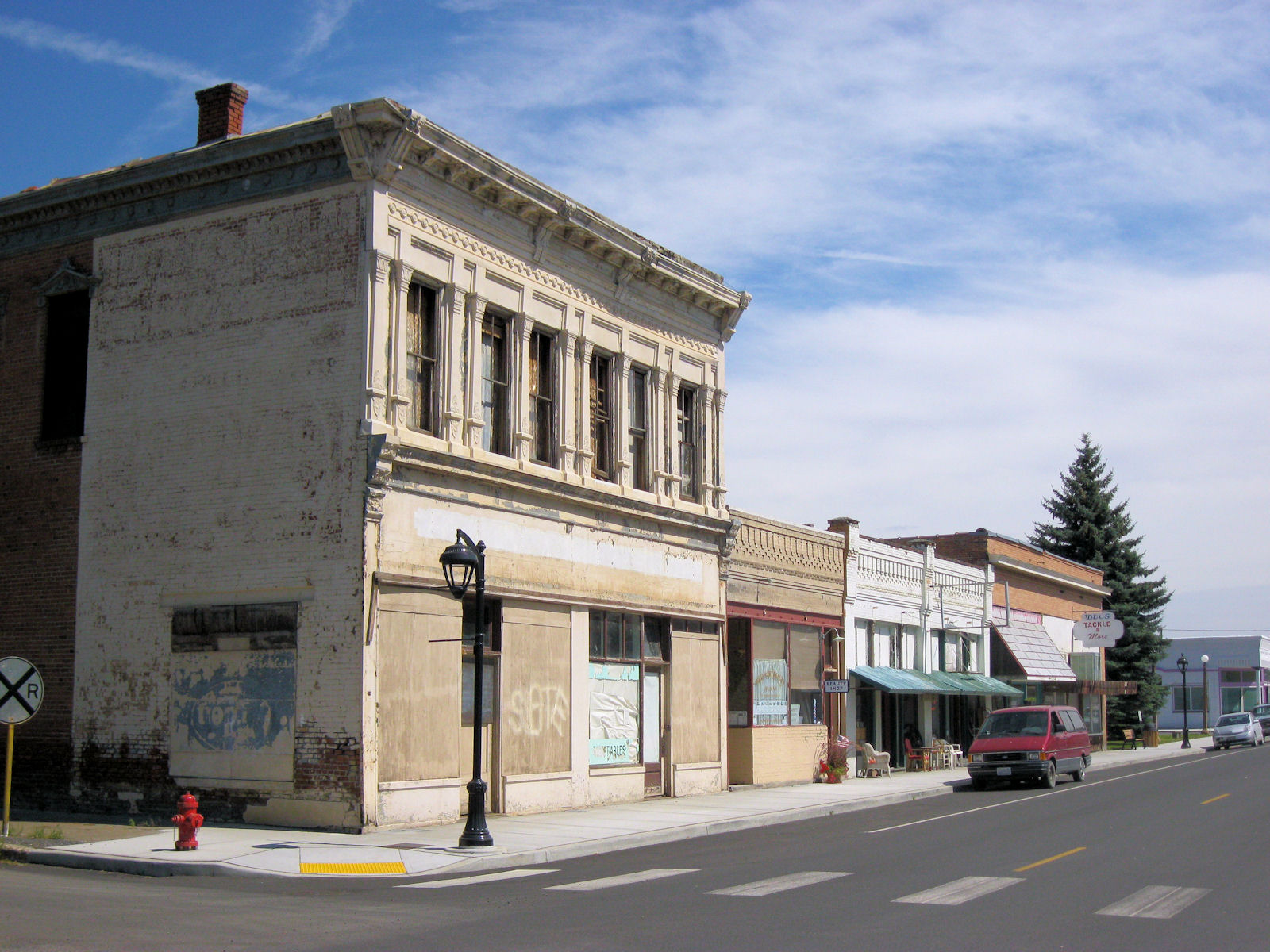
At this point, I got on the main highway 395. It was a four lane road with wide shoulder but fair amount of traffic. I followed this until mile 52. Simple and direct. At this point was Eltopia town. A small town and point to exit the route onto Blanton Road.
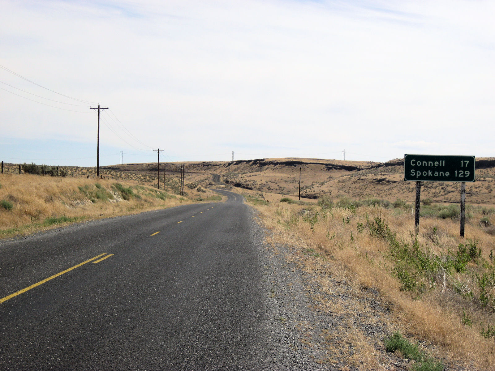
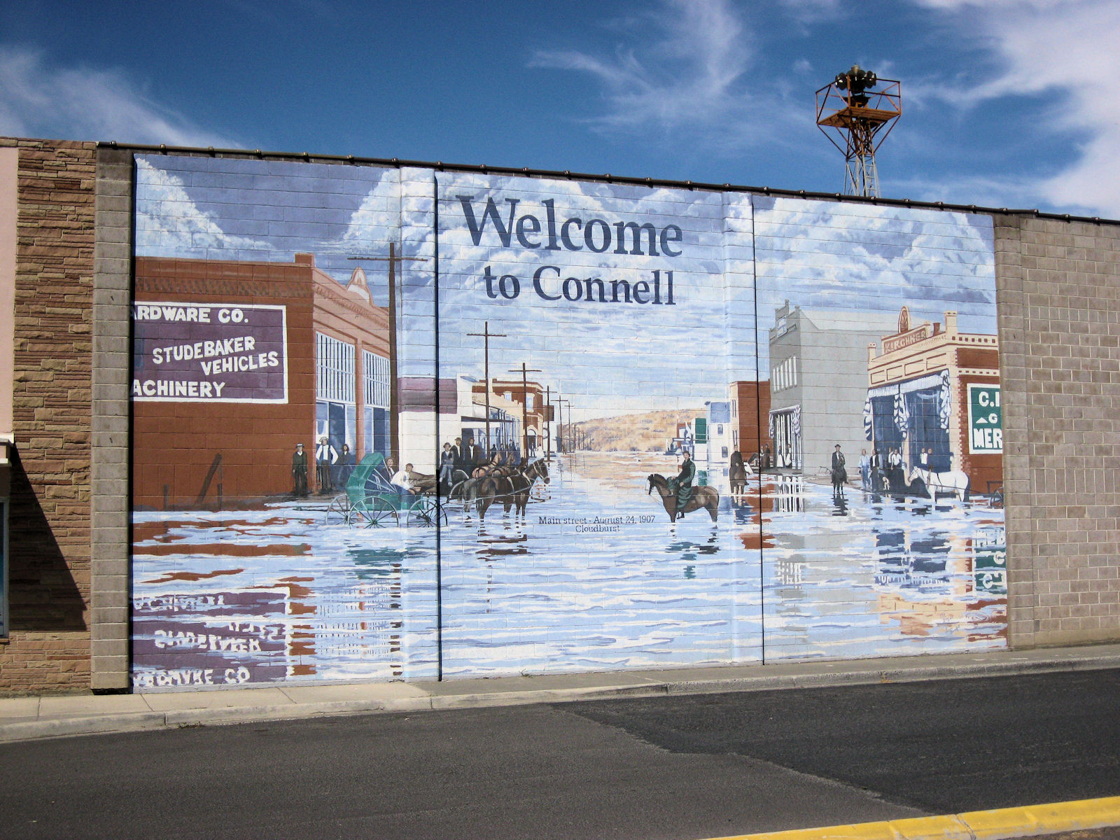
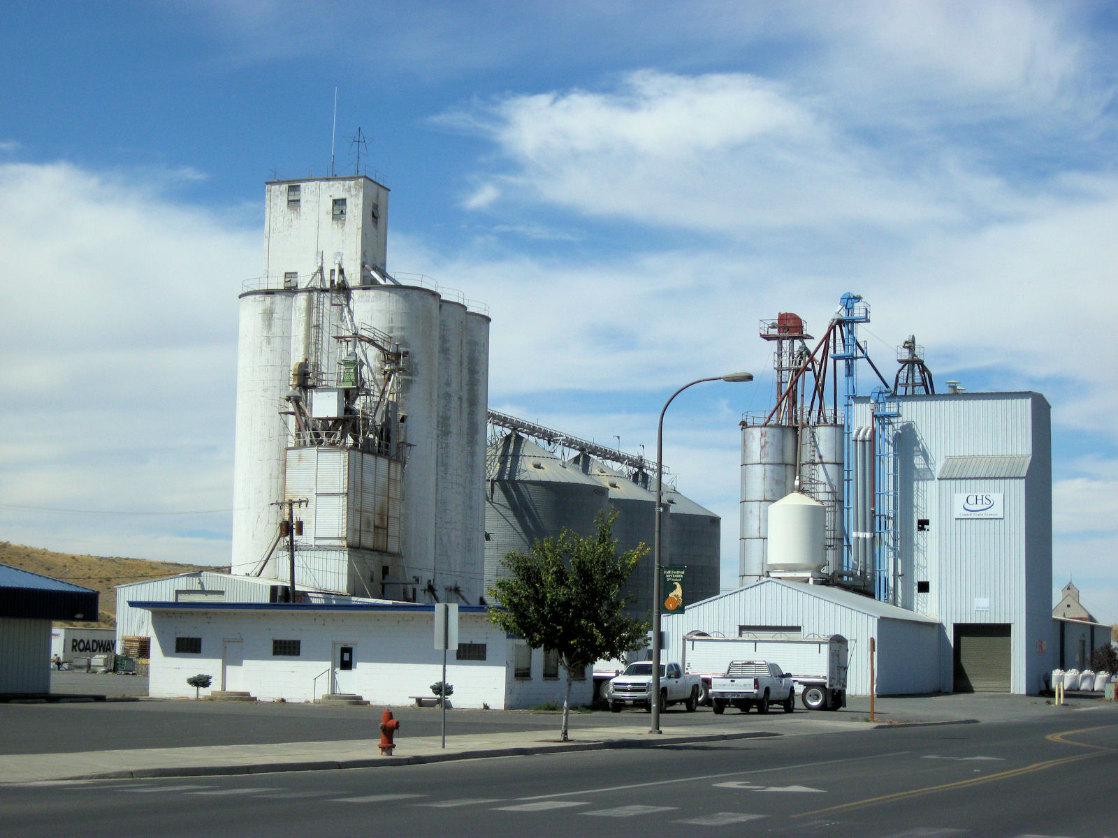
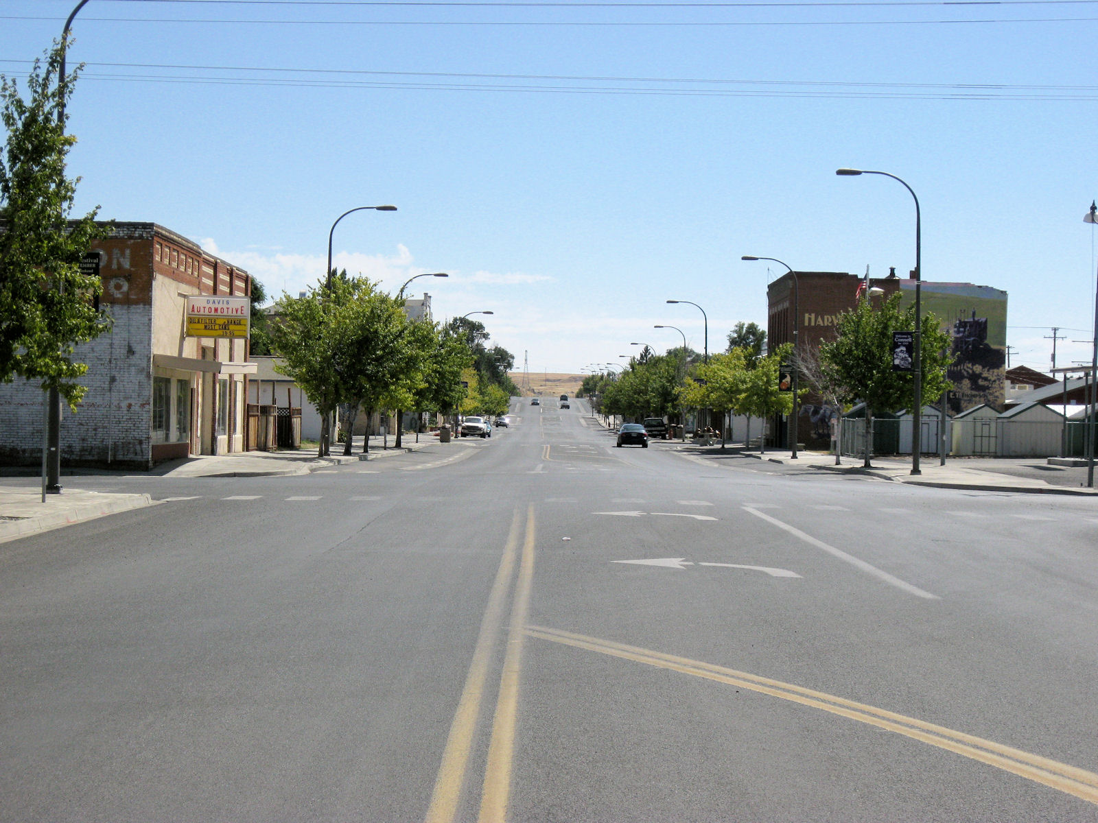
I followed Blanton Road for next 18 miles. In contrast to 395, this was deserted with only one car passing in the next 18 miles. There was some climbing and I was on high prairie with fields of dry wheat. The sun made it a bit warm, but without much difficulty came into Connell at 1pm.

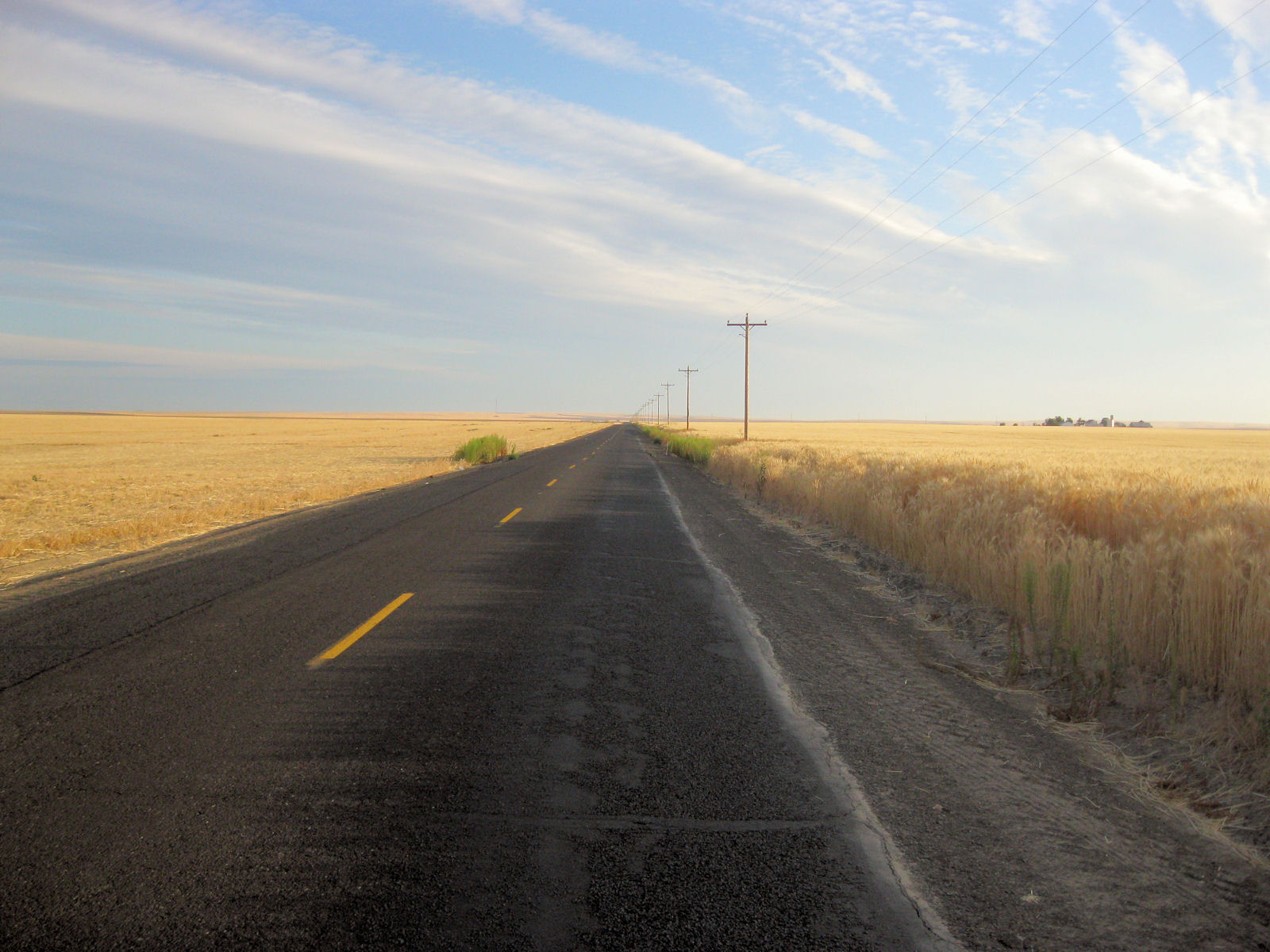
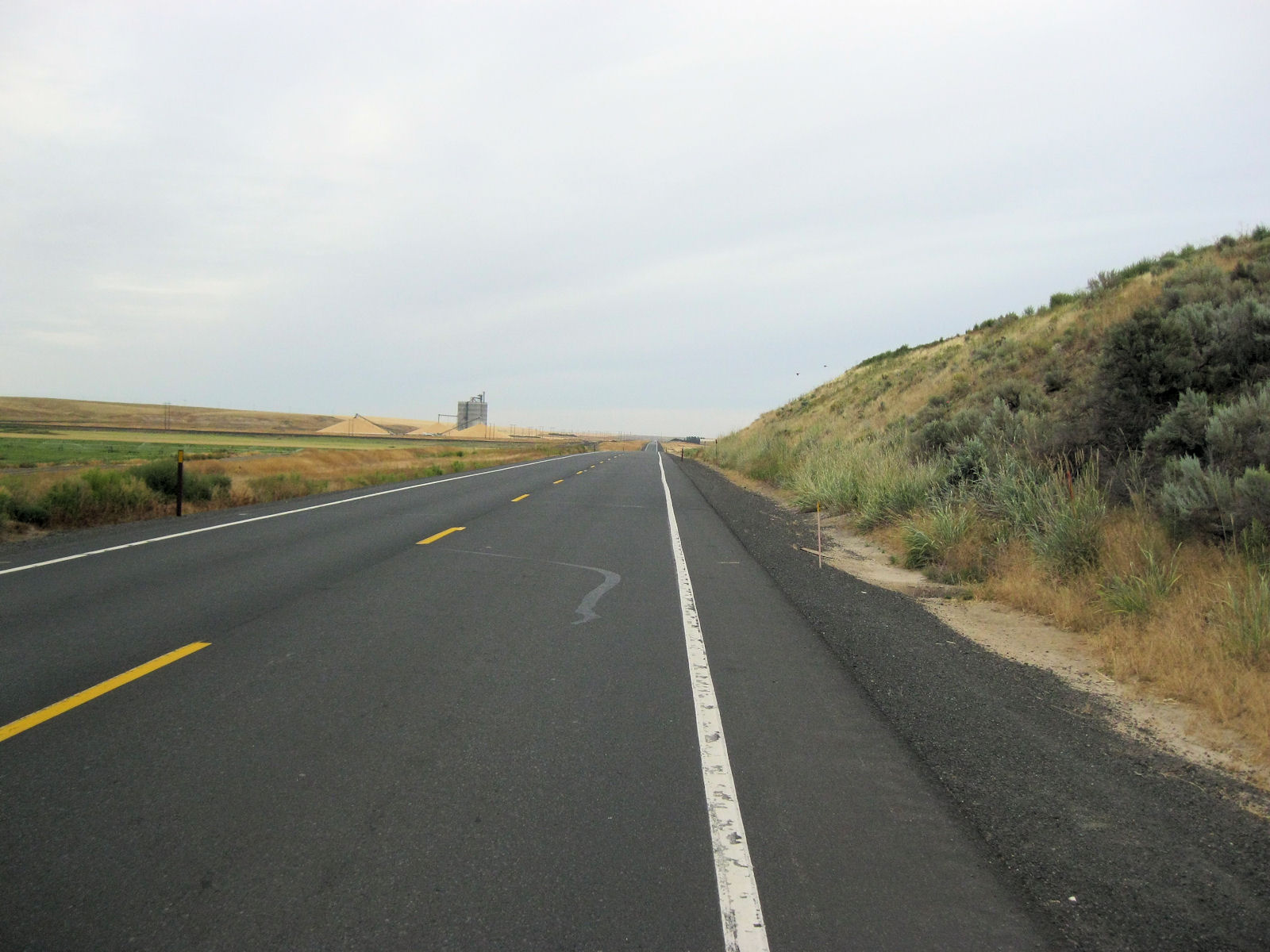

The first 19 miles was on quiet back roads again. Not a single car passed as I went out through countryside. This area still had wheat. In some places fields had been harvested and in others the grain was still on stalk. There was some small climbs but I was fresh and cycling went well. At mile 19, I came to US 395. This road was a contrast with shoulder and high speed traffic. However, not too bad overall and I made good time. A descent down to Lind and then climb on other side.
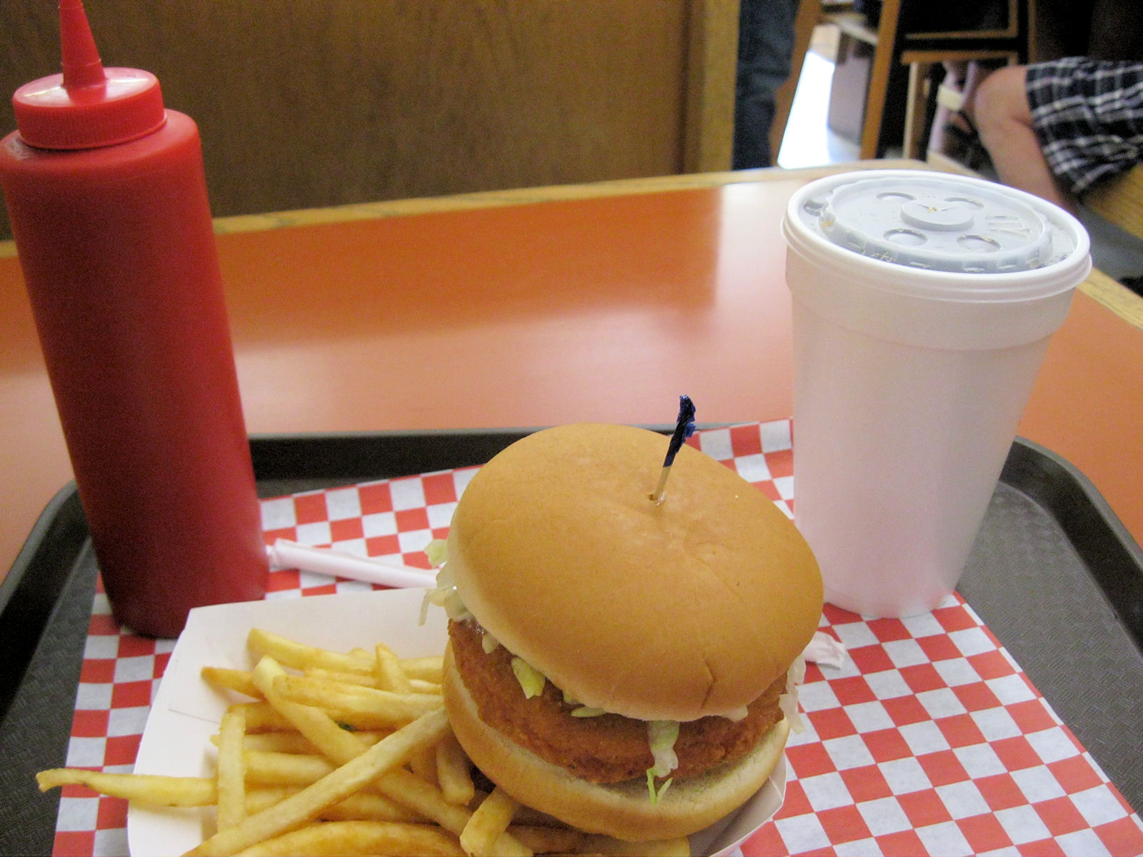
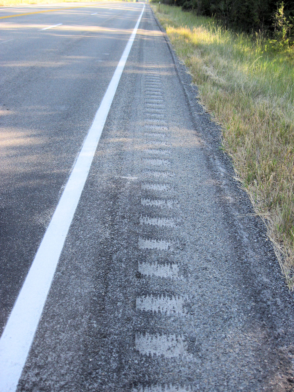
At mile 45 the highway ended as it merged with I-90. My intention had been to stop in Ritzville for a brunch snack, but I somehow ended up riding right through town without finding anything. Not to worry as still had some light tailwinds. These kept me going on back roads until mile 56 where I was back with the interstate. There was a restaurant and I had their burger and fries. From here, it was back to the backroads via Sprague and then a brief three mile stretch on I-90. This part of road was more obnoxious as there was a fair amount of debris and also some rumble strips that channeled me into right side of the path.
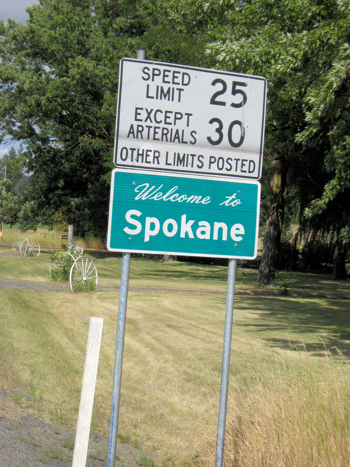
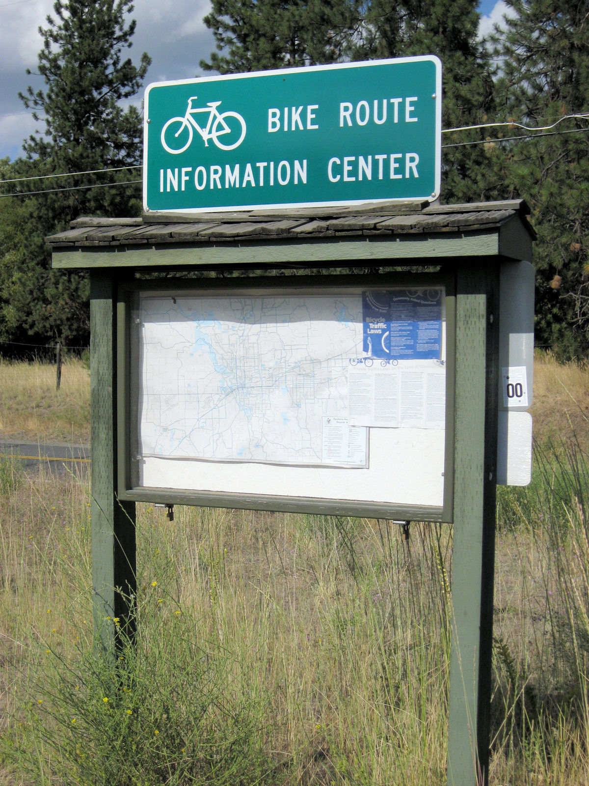
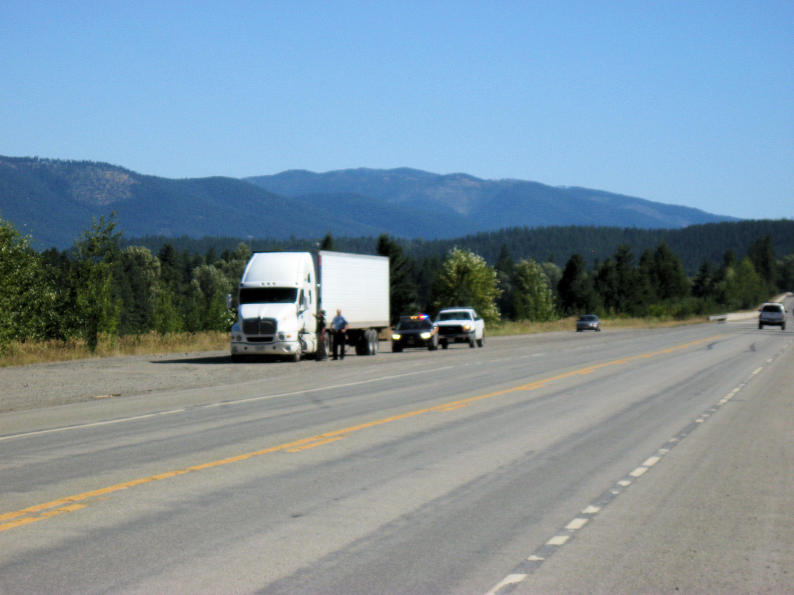
Fortunately, at mile 84 I exited I-90. At this point there were more trees than the open plains. I was riding a little slower but still made my way into Cheney at 95 miles. I didn't see any real promising motels so kept going. This last bit I was surprised at how much descent I had as I came down the hill and then into Spokane. As I merged into US 195, there was a "no bikes" sign and also led me to the information board. After a brief climb I cycled through downtown and found motel and place to relax for the night.
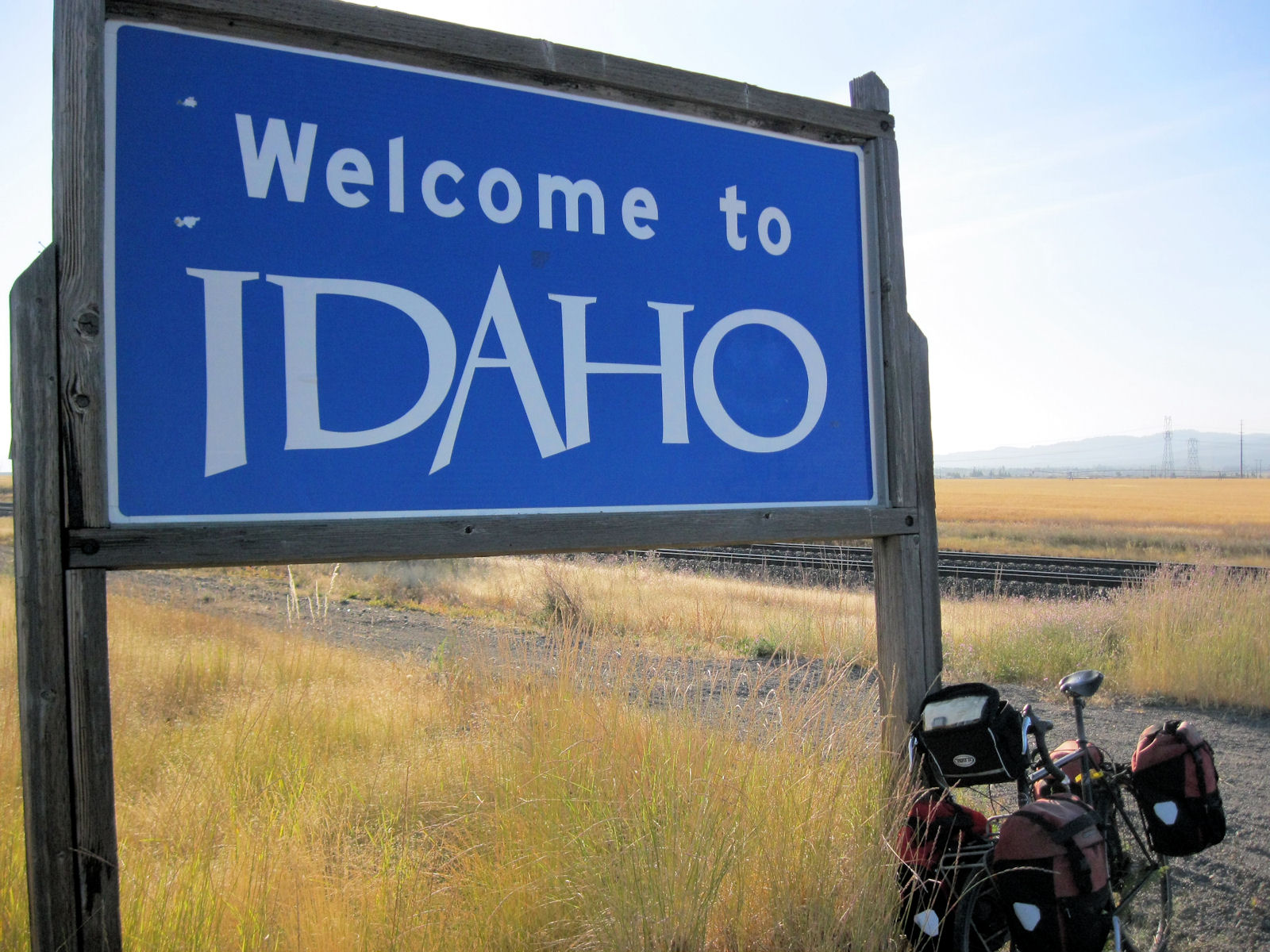


Once on Trent street, this road paralleled the railroad tracks with mostly industrial zones. It also went directly into the rising sun. I put head down and slowly rode into both sun and a light headwind. By 10 miles I was outside most of town and at 20 miles I reached the Idaho border. Yeah!
At 29 miles was town of Rathdrum and a right turn headed to US-95. This highway was busier but looked like there was a separate bike lane. Unfortunately, this stopped after a mile. From here, the shoulder varied from just a foot wide, to eight feet wide. It also varied from one to two lanes. Traffic was moderately heavy with lots of vacation campers, trucks and other vehicles. More trees here and occasional hills to go up and down. Felt like it was a little slower than yesterday but still was a good ride.
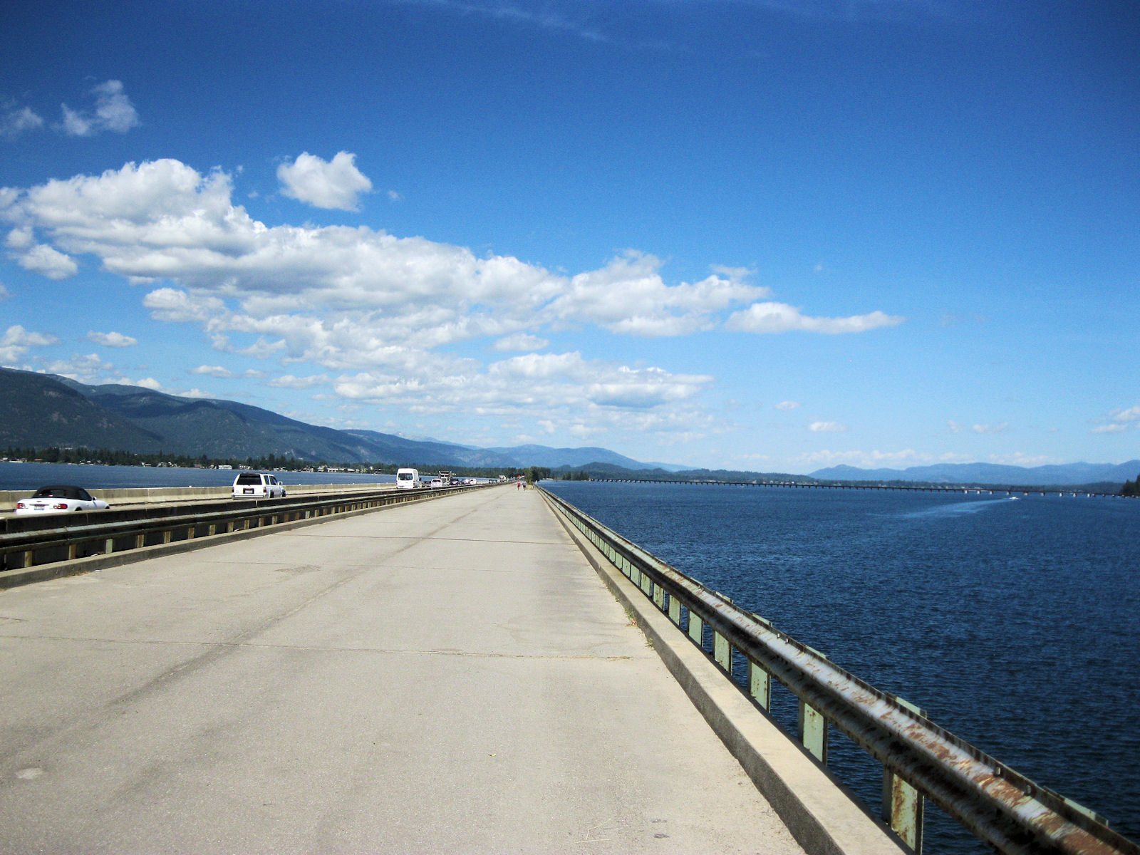
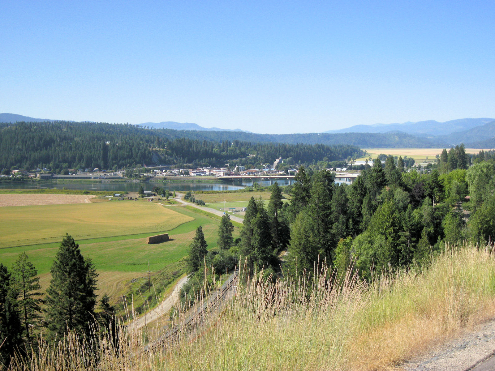
I crossed the broad lake and made my way into Sandpoint. Looked like a touristy town. It was still early afternoon, but decided to make a short day to leave some for tomorrow.
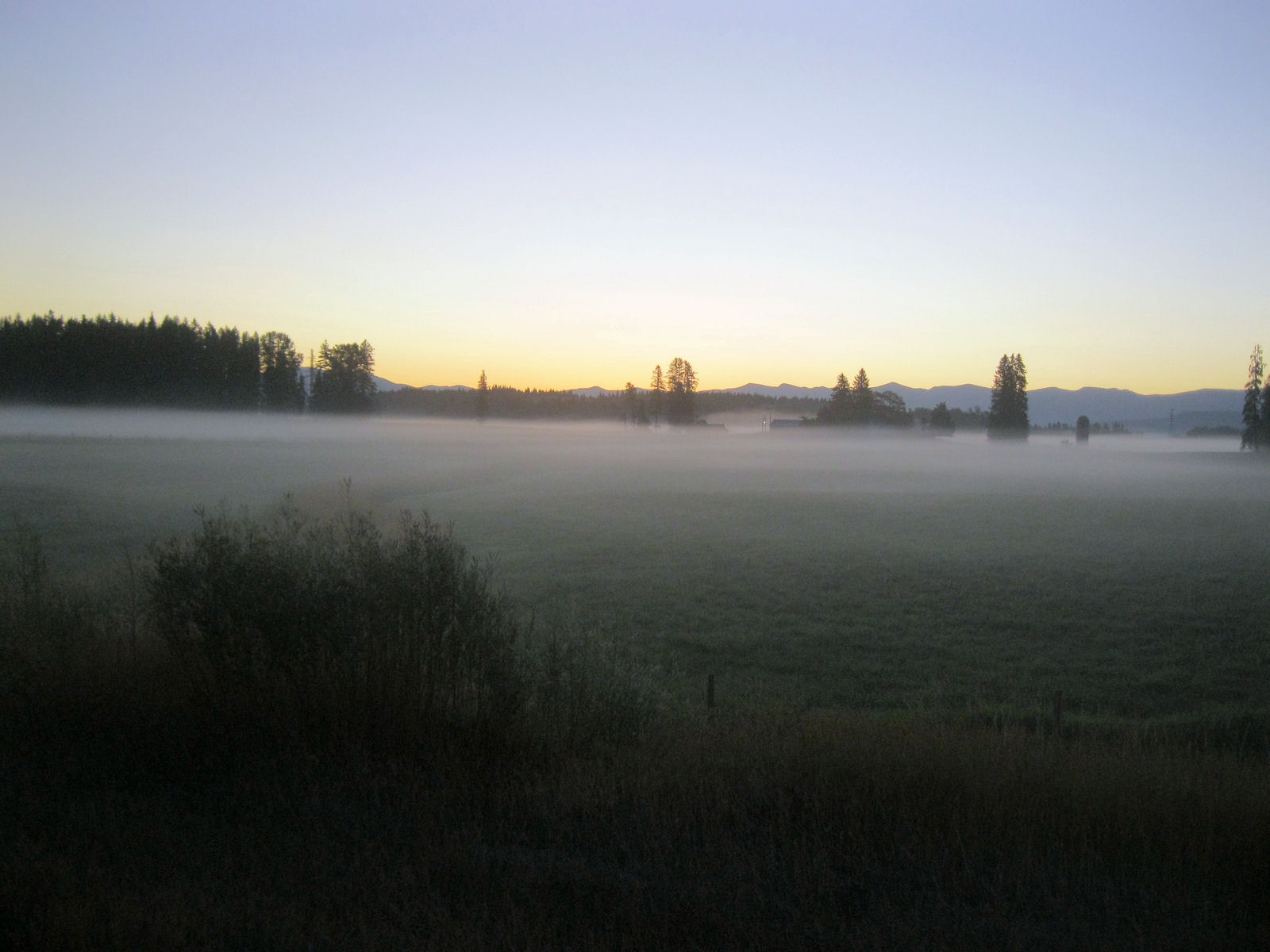


Tried starting out at 5am. It was just barely getting light and also quite cool. However, road was good and not much traffic. Cycled through a construction area before road narrowed to two lanes. Northbound 95/2 was typically fine though there were one or two spots with two foot shoulders and a rumble strip in the middle. Stopped at 11 miles in Samuelson and then kept going up and over some hills. It was still breakfast time as I came down the last hills into Bonners Ferry. Stopped in a real restaurant this time.
After this a slow climb up the north side and then at mile 36 the road split. There was large travel plaza and excuse to take one more break. After this started eastbound. There was fair amount less traffic. Shoulders still typically reasonable. Not much in Moyie Springs before I reached the border at 55 miles. Hooray, made it to Montana!
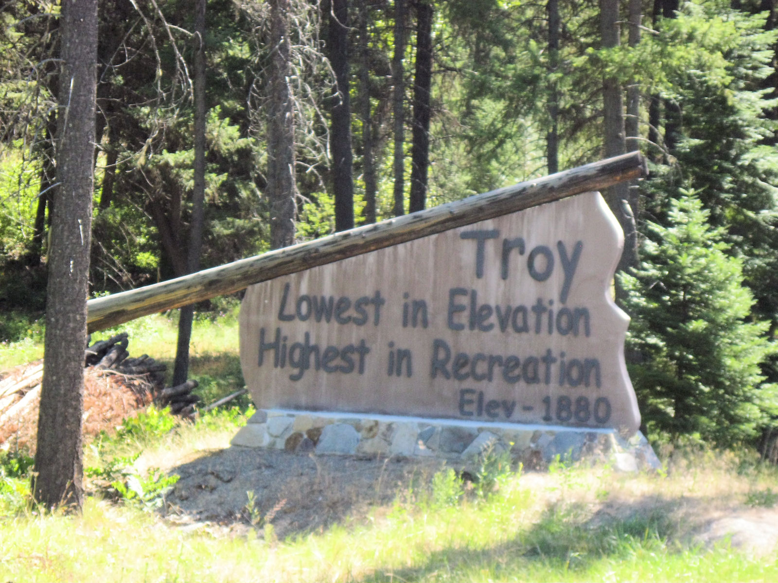
After this mostly along side of the valley but big descent a few miles before Troy. Apparently, the lowest point in Montana is where the Koontai River goes into Idaho. Troy is only 14 miles upstream. Was a little warm as I stopped for lunch. Also now on new time. After this another hill leaving Troy before finding my way on reasonable road with occasional tailwind that made the stretch to Libby go quickly. Now time to look through the maps and plan the remaining riding.


Finally was on the road. The first 20 miles were a gradual ride up the Libby River valley. Nothing too steep, but just enough to slow things slightly. Near the top, descended into the Fisher River valley and repeated the exercise with the next valley. I'd brought extra water but it was cool enough I didn't need it.
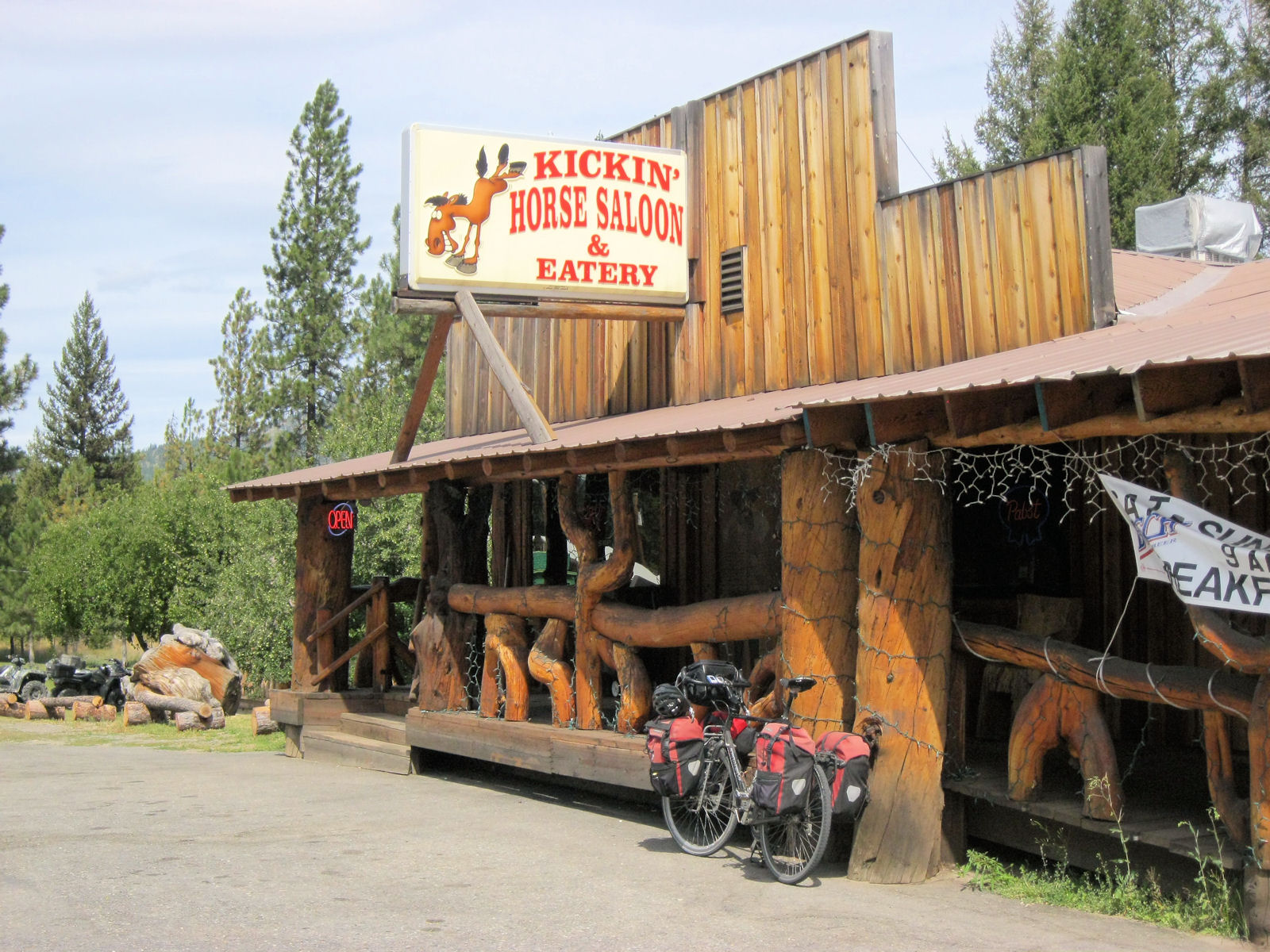
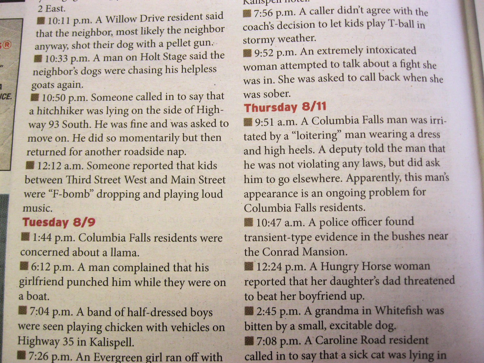
Montana has little crosses marking road deaths. I saw quite a few today, and at one point saw a total of 17 marked on both sides of the road. The explanation: http://www.littleblackstar.com/blog/2009/09/07/the-mystery-of-the-17-crosses-of-montana-finally-explained/ was that it was actually a group collected together from straightening the road. After this several gradual climbs until at mile 40 reached Happy's Inn and a lunch stop. I had lunch in bar and they told me only two real climbs left.
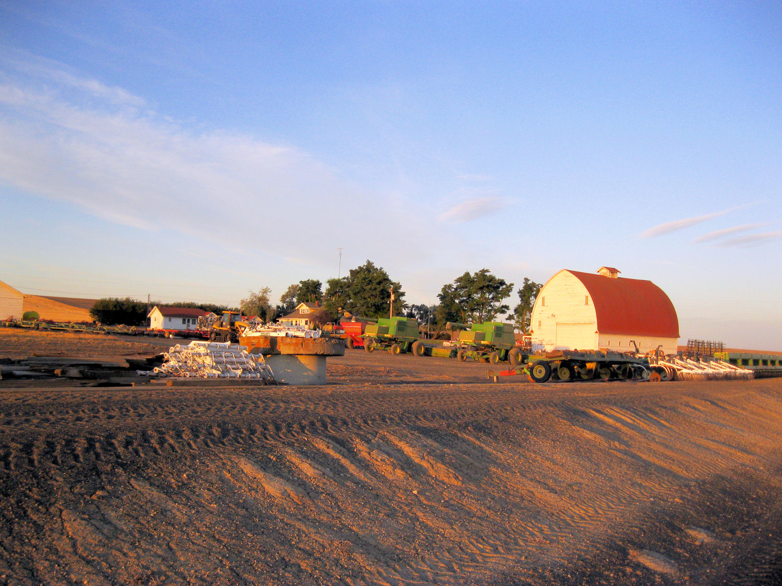
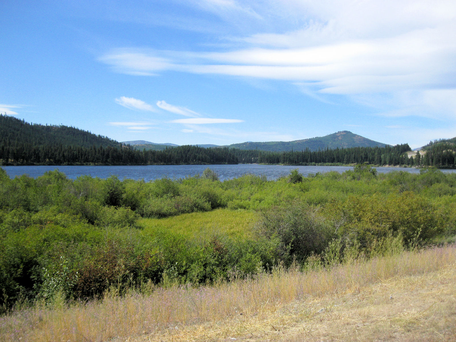
After this along several lakes and then I presume the first of these climbs. This brought me down to McGregor lake. While most of US2 had reasonable shoulders from here on in they were a bit sparse and there were plenty of log trucks. I was also feeling a bit tired but slowly made progress. After the lake, started several good descents and with tailwind as well. This brought me to Marion where stopped briefly before making last bit to Kalispell. Motel prices quite expensive here, but picked least expensive I could and finished after a slightly longer day than normal.


There were a few small hills to climb over but without much difficulty by mid-morning I had reached the Vista Motel. Nice to reach here! Two years ago I had cycled from here to start a cycle trip that ended in Caspar, so this was nice to see from other side. Map