Pine Bluffs, finishing Nebraska
The elevation profile for today is an extremely gradual rise going from ~4000ft to ~5000ft with real dips. This is a dry area with some irrigated fields but mostly open grasslands. There is no place to shelter from the wind. Fortunately today it was mostly calm with a slight tail wind from the northeast. Kimball, population ~2500 was the largest town with a few settlements along the way.
It was a nice finish to Nebraska. This is the last forecast day of the heat dome in western Nebraska and I think it barely reached 90F. All this made for a longer ride but not particularly difficult.
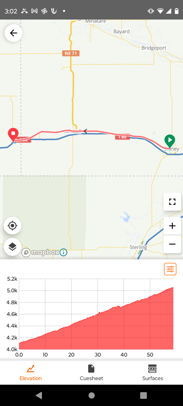
Elevation profile for today. This view greatly exaggerates what is a very slow rise over sixty miles.
Some clouds starting out. It was 65F so just slightly cooler than the last few days – but not cool enough to wear my cycle jacket.
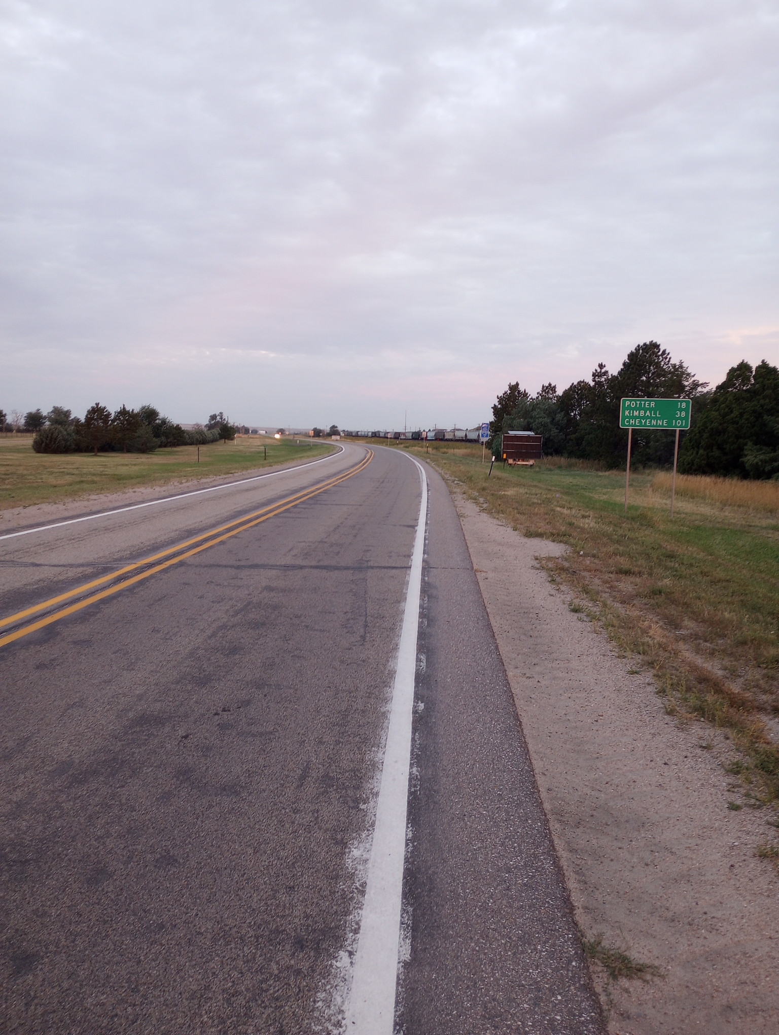
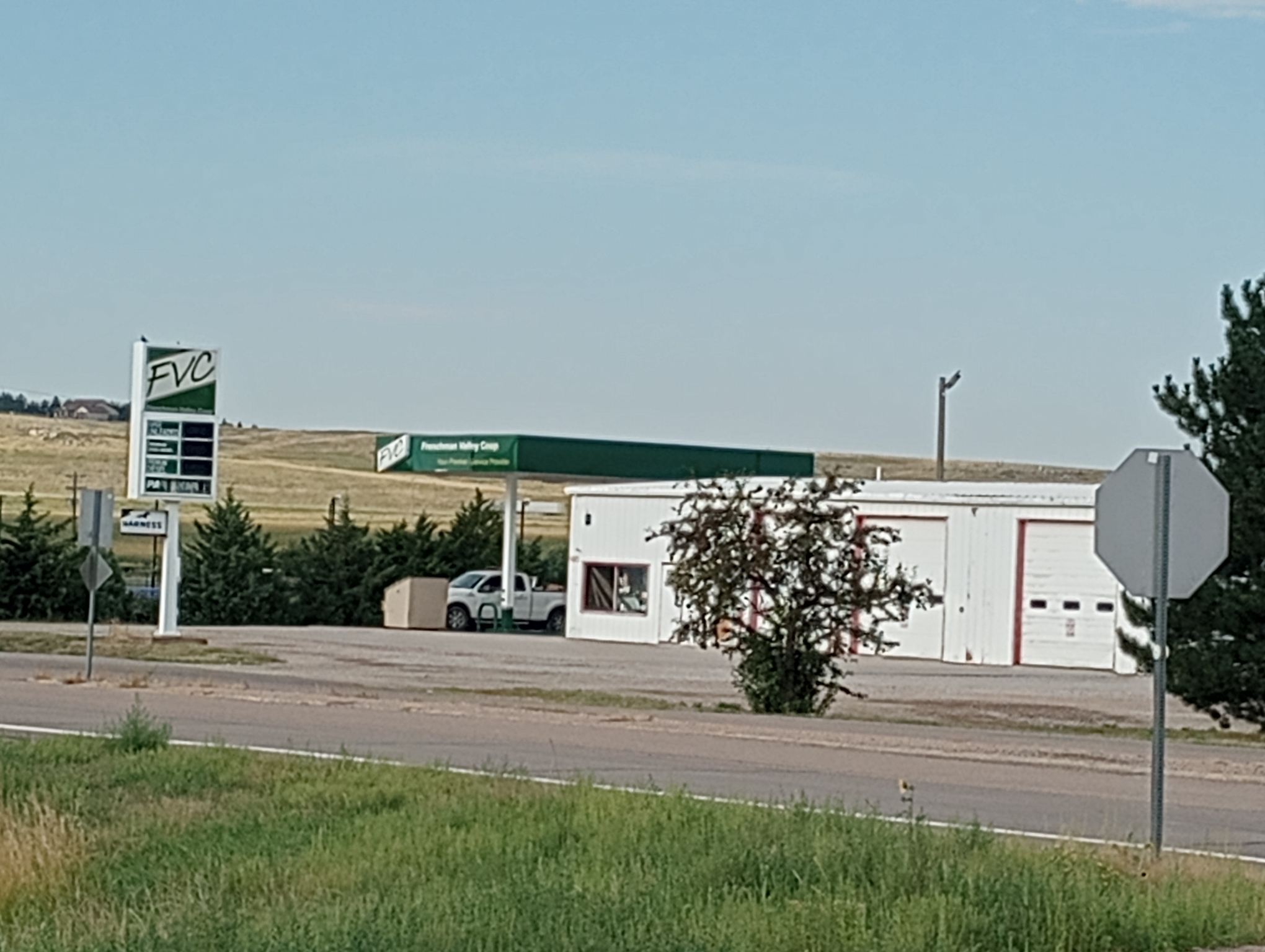
Potter and Kimball were places along the way

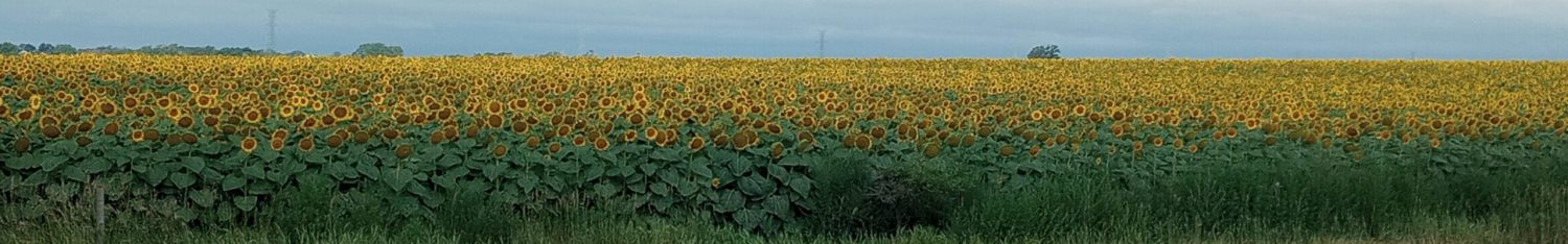
Without irrigation, one can raise cattle but I can’t see intensive crops.
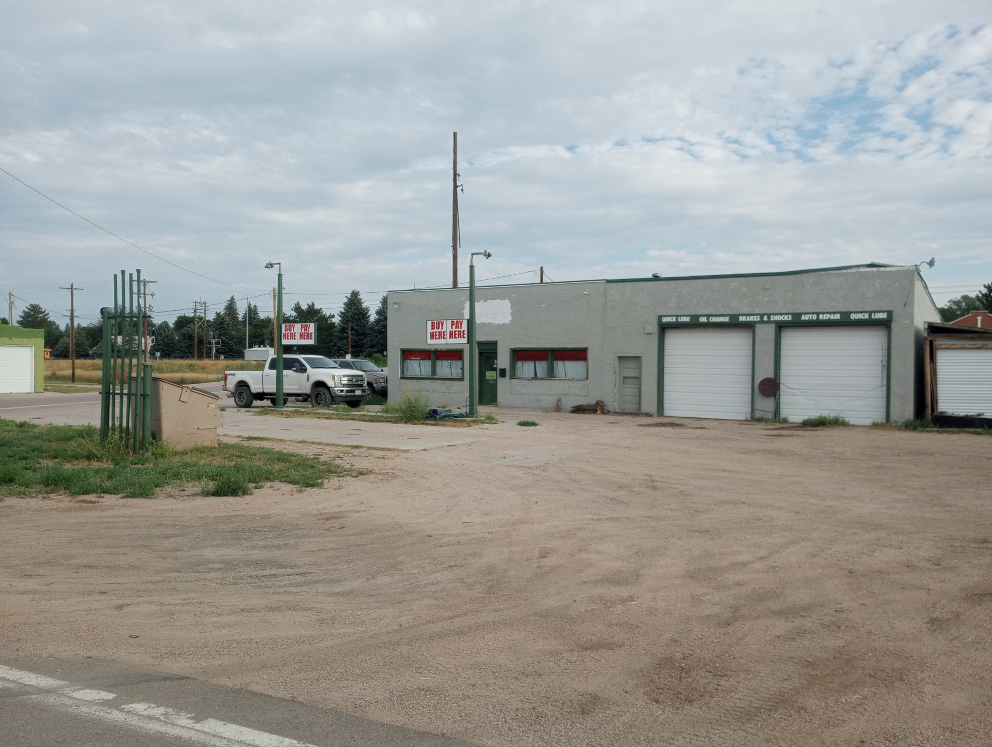
One former gas station in Potter.
Other gas station had pumps being repaired. Nothing open otherwise but did have a porta potty.

Grain silo.

On to Dix

Dix. There was a bank, a cafe and a gas station.

No photos of Kimball where I had a mid-morning snack. Kimball had one traffic light
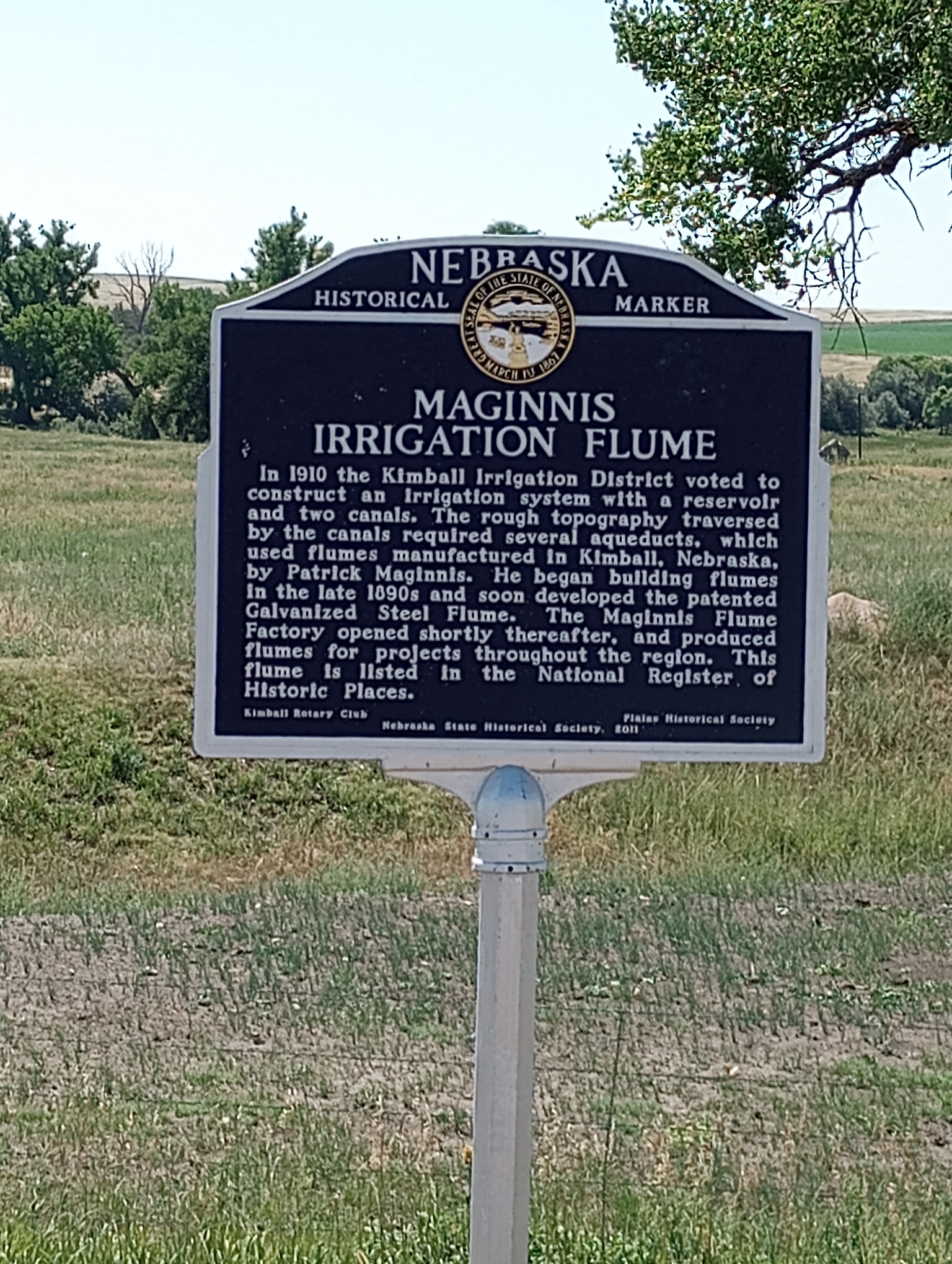
Irrigation flumes
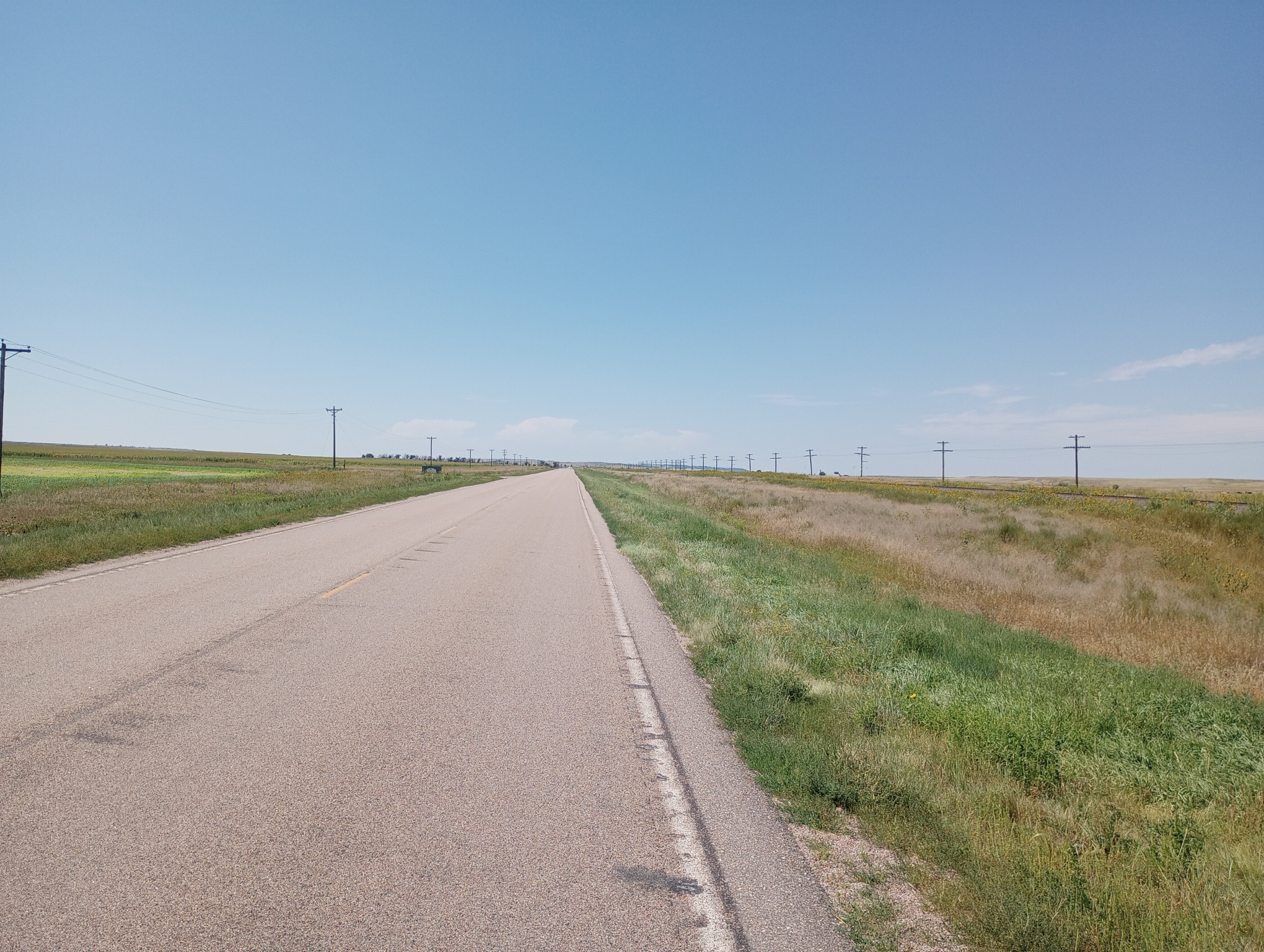
Dry country

These folks were doing utility work, burying cable? Flag shows a tail wind.
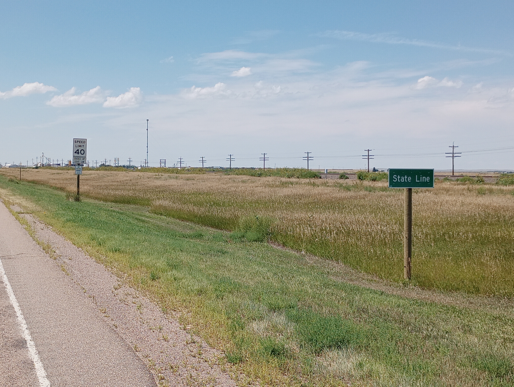
Wyoming border. There was a “Nebraska the good life” sign but other than this, no Wyoming sign
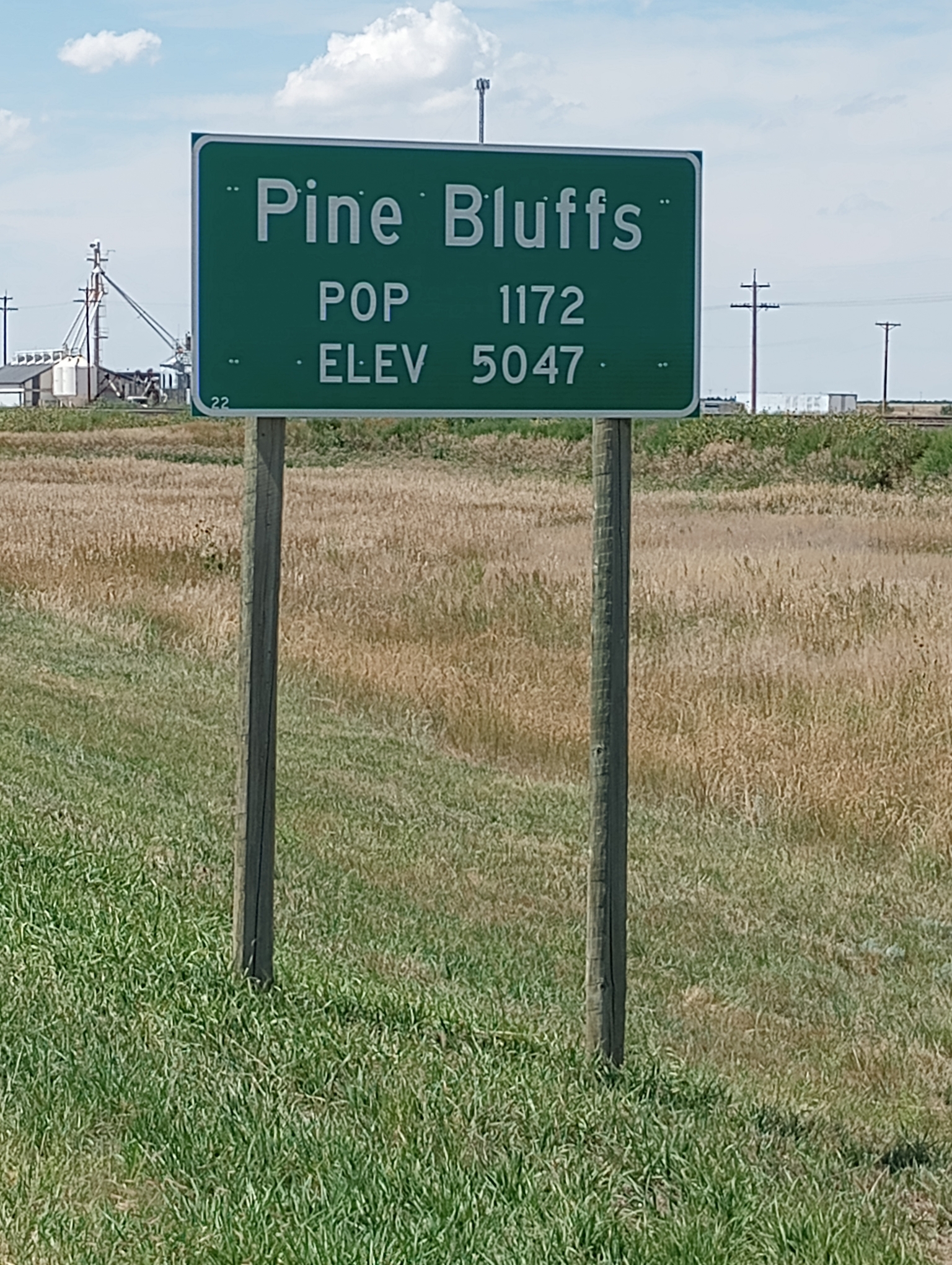
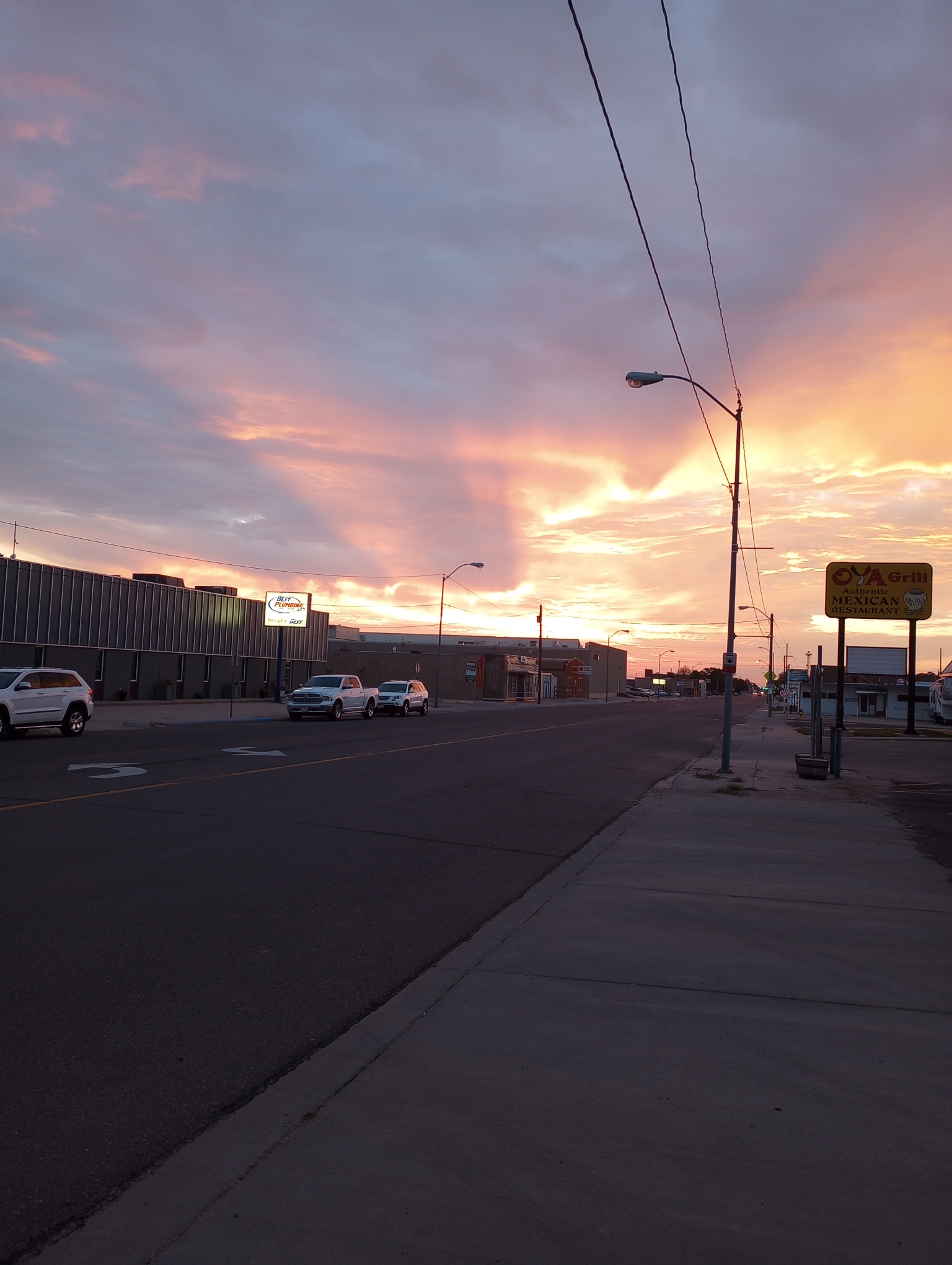
Nebraska lists population on city limit signs. Colorado lists elevation. Pine Bluffs has both. I came into town just in time before the cafe closed and then found my motel. It was nice to completely cross Nebraska from the humid/sticky east to the high/dry west and see the changes along the way. Now the plan is to ride to Cheyenne and then head south to Fort Collins/Denver.
WP Strava ERROR 403 Forbidden - See full error by addingdefine( 'WPSTRAVA_DEBUG', true );
to wp-config.php