Arlington, along the Columbia
Today was a nice ride along the Oregon side of the Columbia River. The first section was on smaller roads through Umatilla County. When those ran out, there was a 21 mile stretch of I-84. The interstate had a nice wide shoulder though it was also rougher chip seal cycling. It was a bright sunny day and started at 54F and got warmer after that.
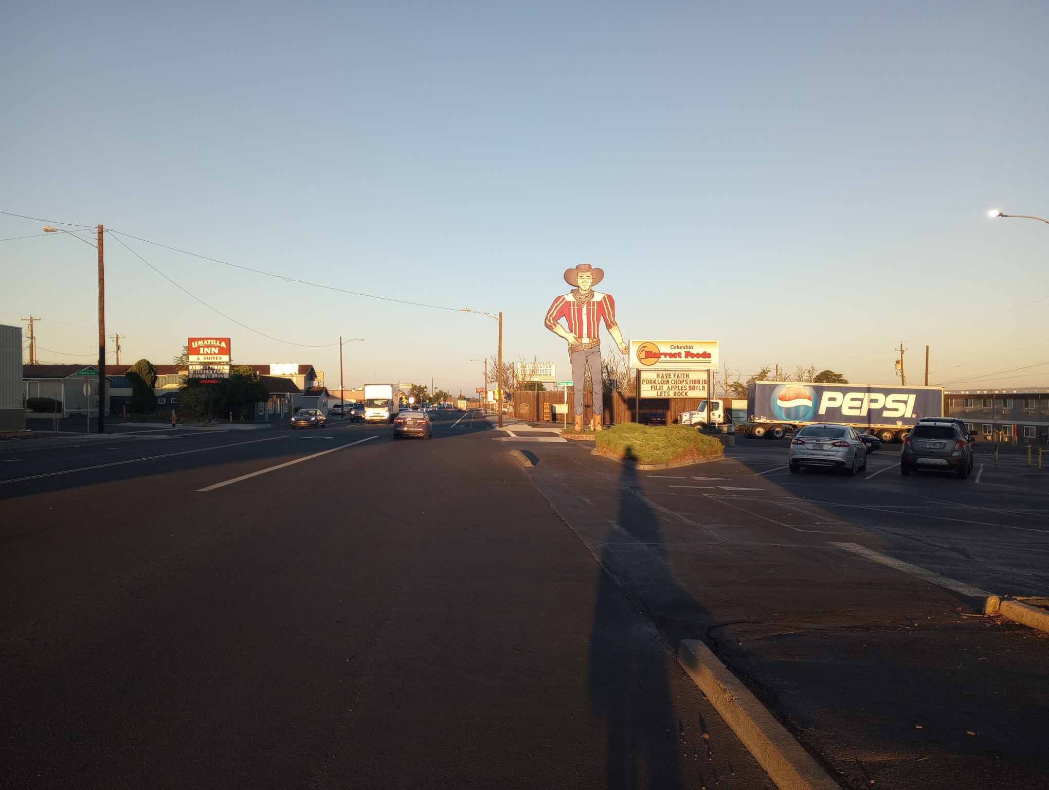
Morning in Umatilla. Not a large town but with several motels.
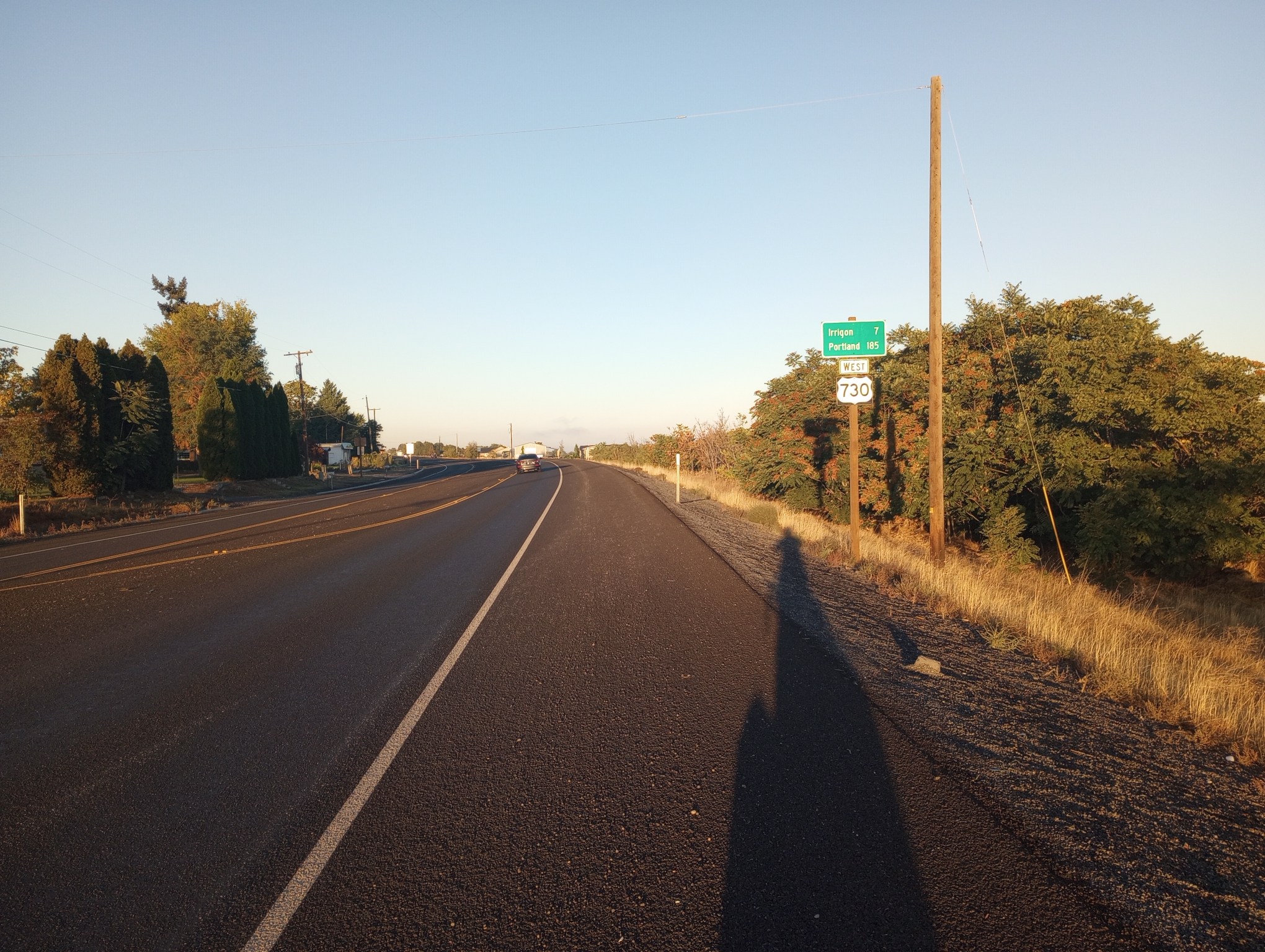
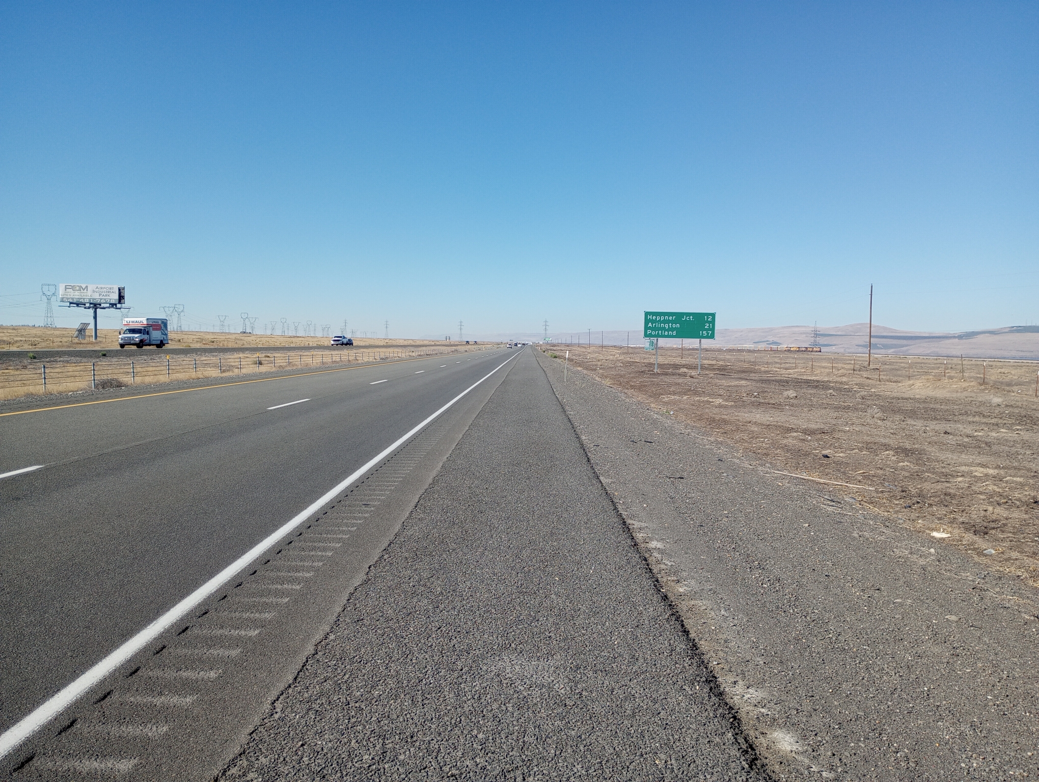
Signs now have distances to Portland.
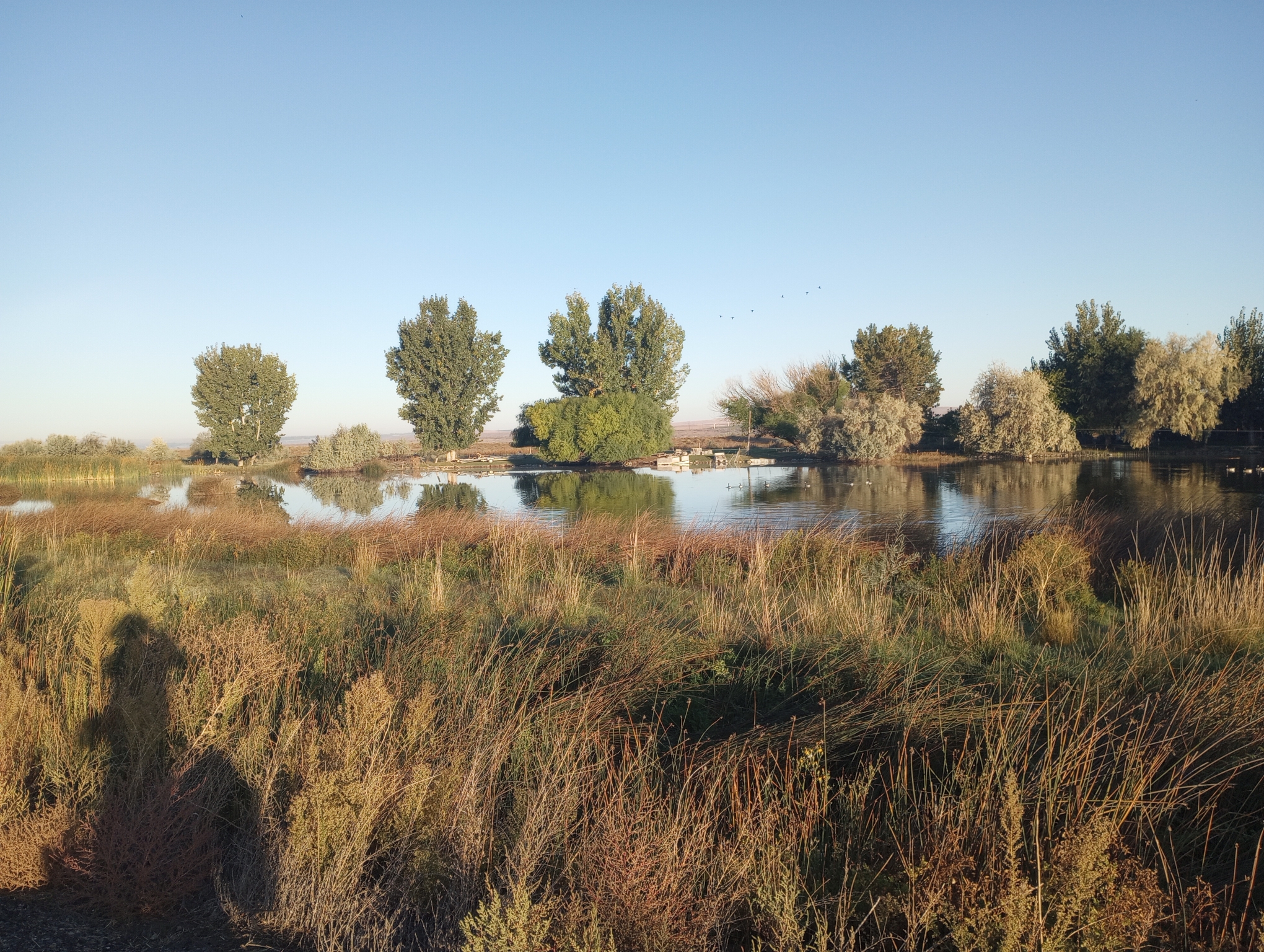
Wetland with geese.
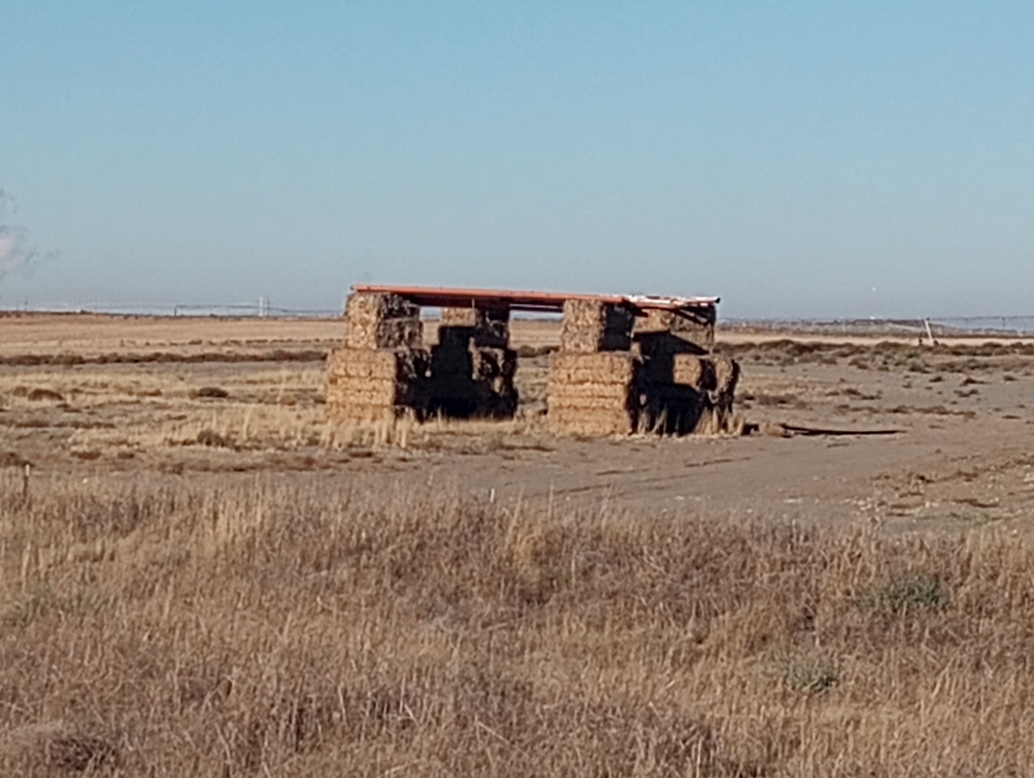
A cross between Stonehenge and the house built by one of the little pigs.
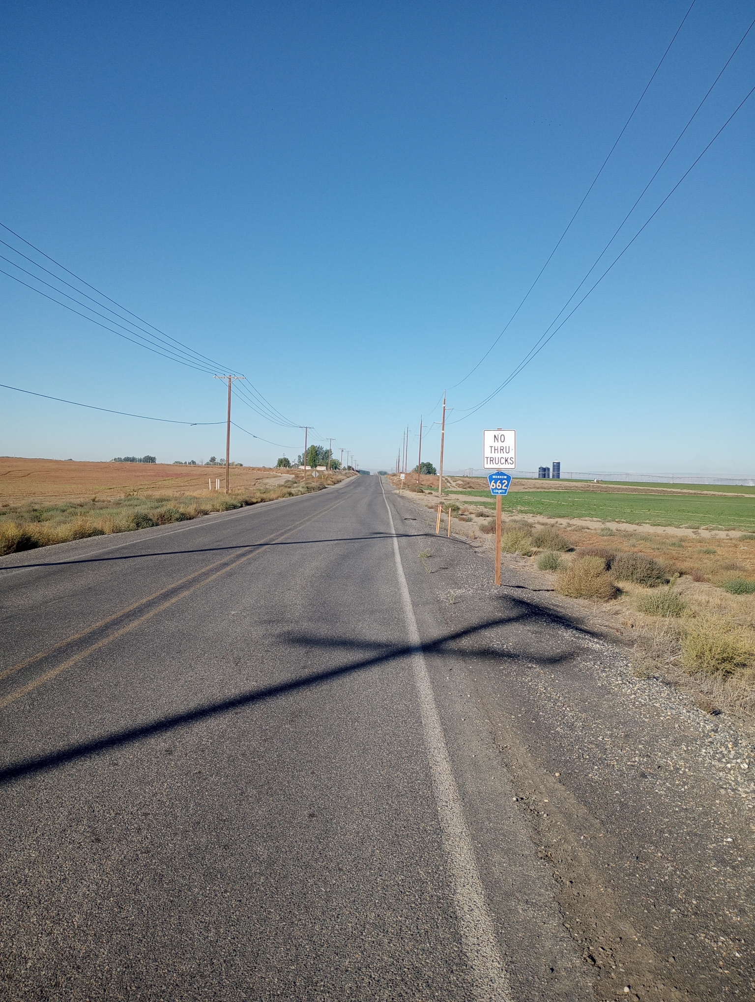
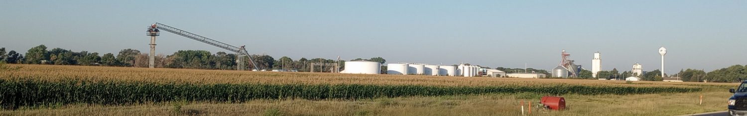
I had almost 10 miles of quiet back roads as I went past Boardman
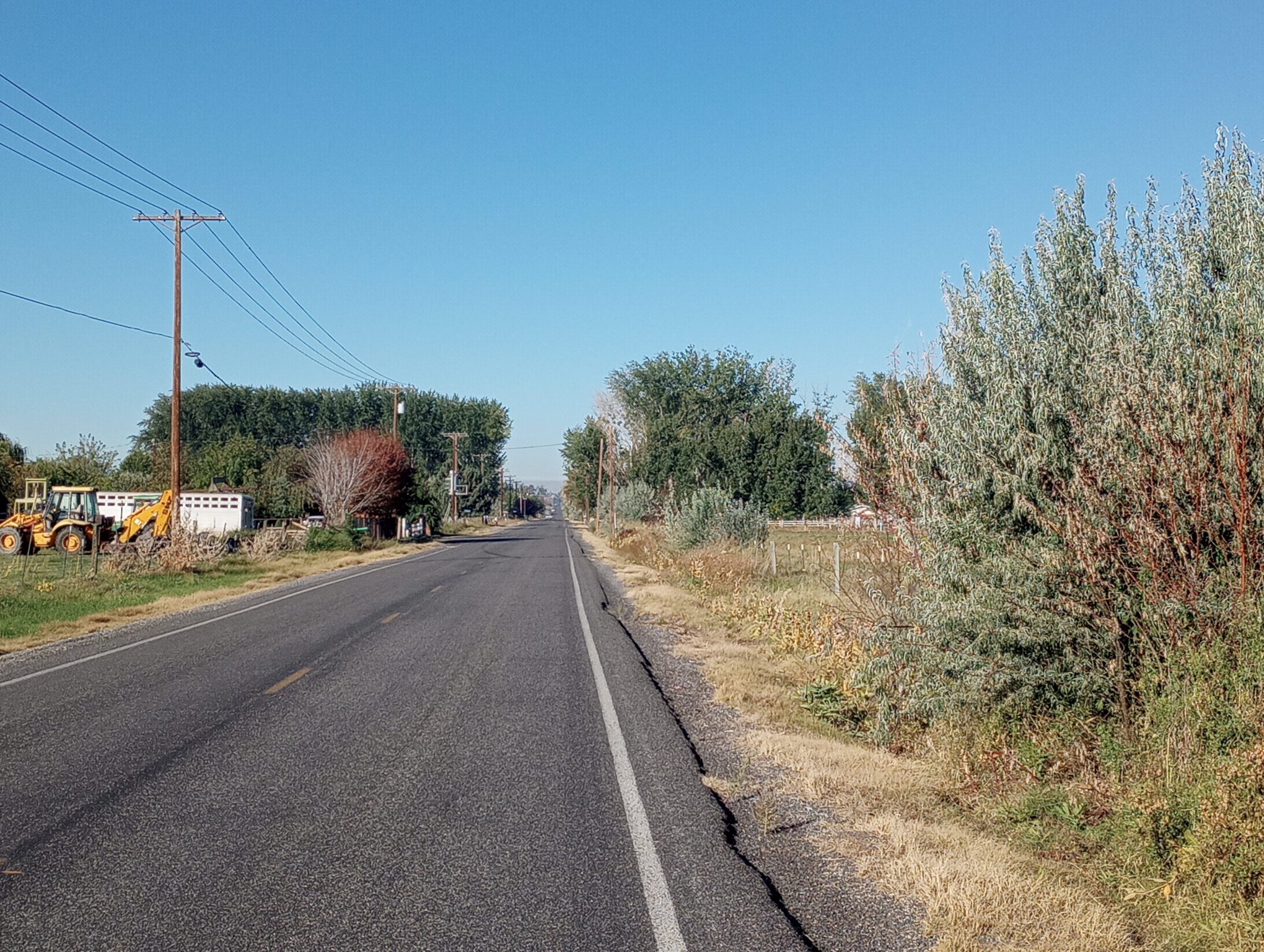
Country Roads
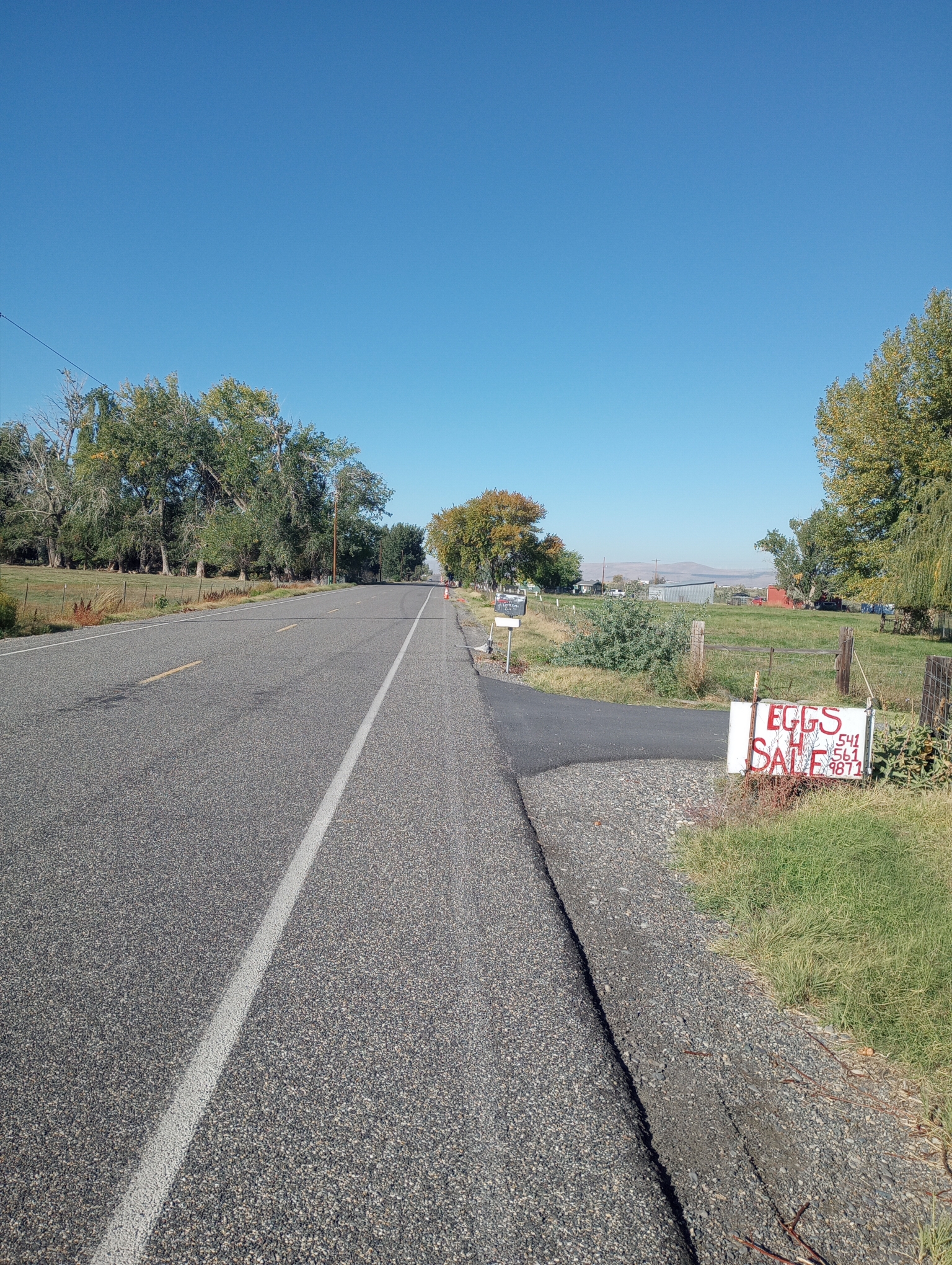
Eggs
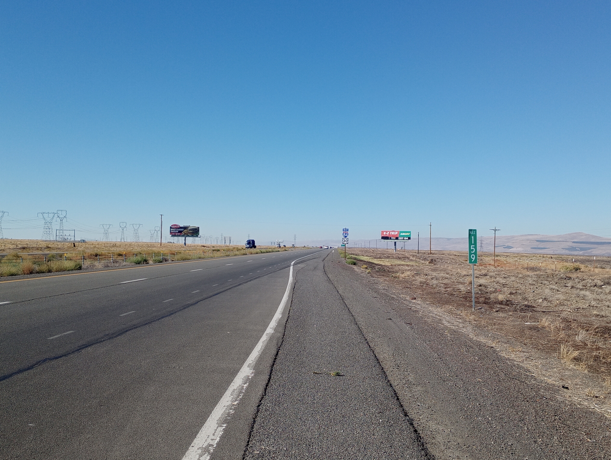
At the 25 mile mark I stopped at a travel plaza. After that on to the shoulder of I-84. The shoulder was a coarse chip seal. To the left was a thin paved section and then rumble strip. I stayed further right even though it was rougher.
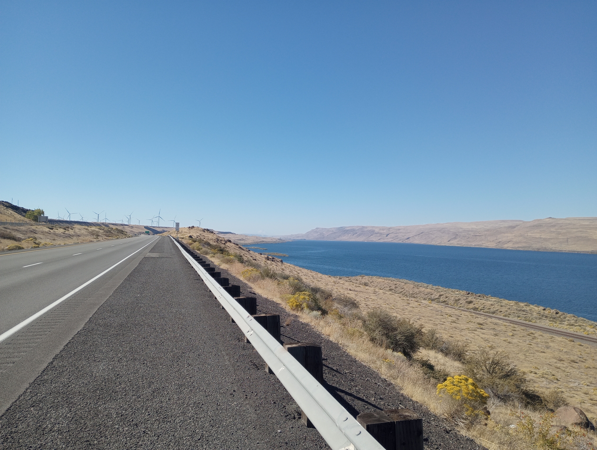
Washington on the other side. At times I could see a white volcano on the north side (Mount Adams) and then one on the south side (Mount Hood). It is still a very dry area without larger trees. The Washington side is a narrower road with more climbs and curves.
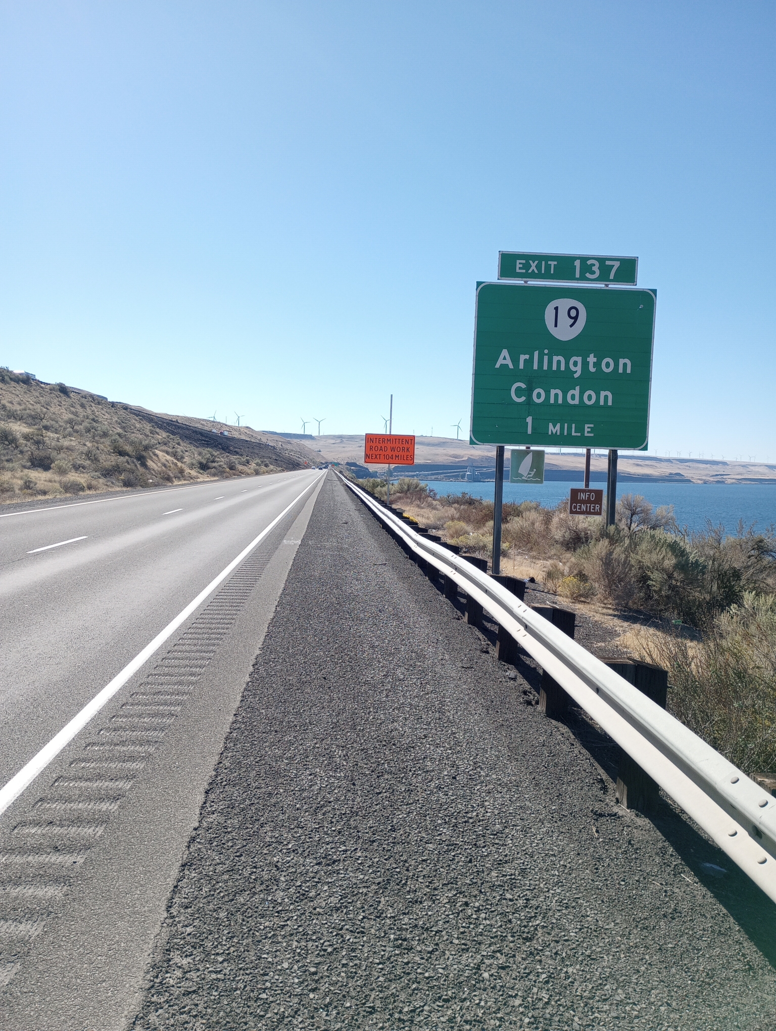
Time to exit. I’m not sure warning of intermittent construction does much.
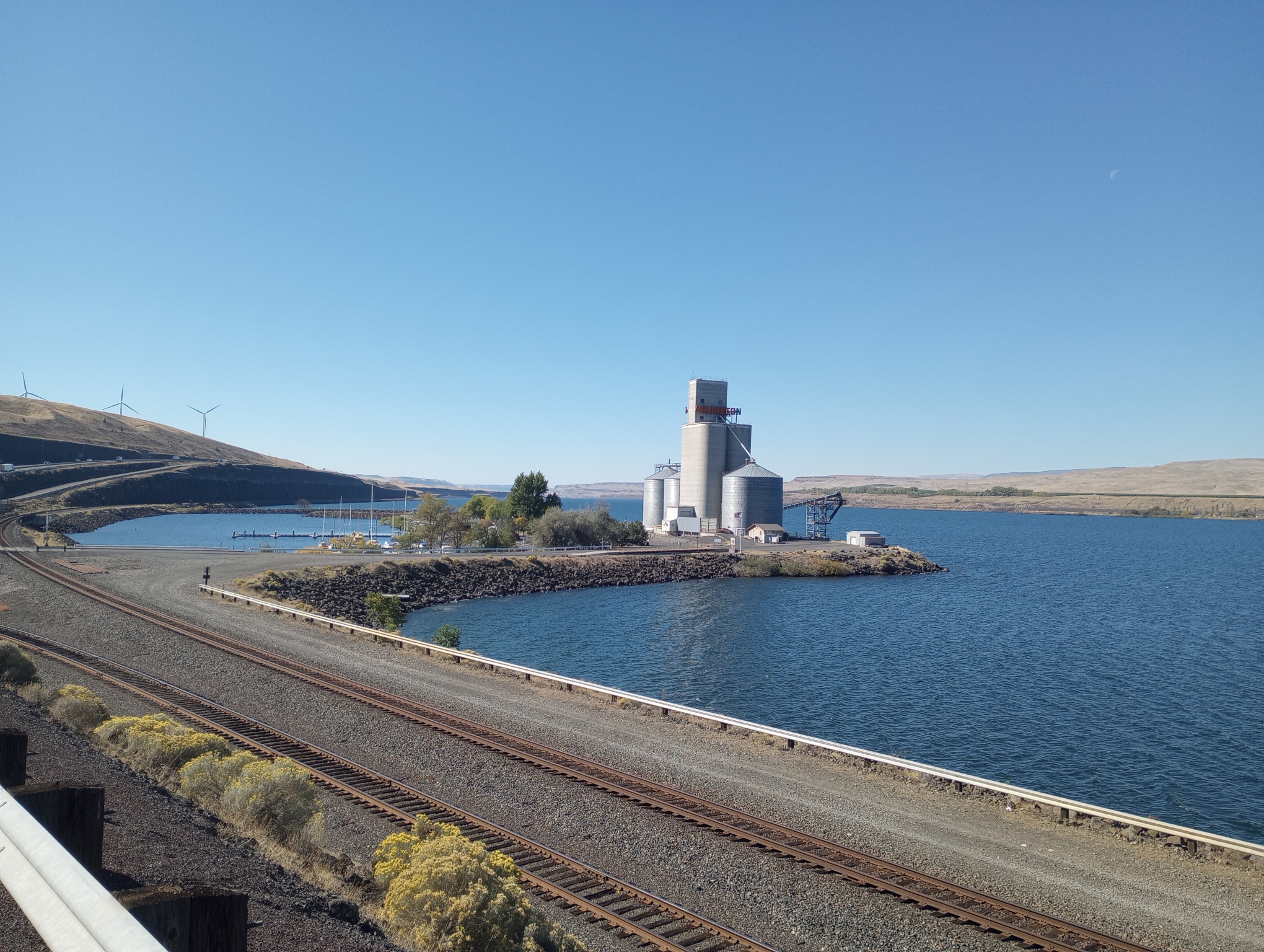
Port of Arlington. Just to the left is a small valley with Arlington at the base. I stayed in the same motel 31 years ago on a ride across the USA. Nice to see the area again as I am getting closer to Portland.
| Elapsed Time | Moving Time | Distance | Average Speed | Max Speed | Elevation Gain | Calories Burned |
|---|---|---|---|---|---|---|
|
06:40:14
hours
|
05:06:06
hours
|
47.38
mi.
|
9.29
mph
|
15.29
mph
|
833.33
ft.
|
2,590
kcal
|