Hartford, cycle paths and route finding
Today, I added Hartford to the list of state capitols. Half of the ride was along some nice bicycle paths. The other half was various streets. It was occasionally interesting to figure out the route.
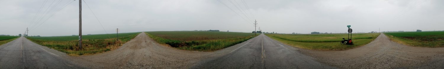
This was the first turn I missed this morning. The route started out right away with a good 120ft climb and steep descent on the other side. Most of the way down was this path but I didn’t notice it.
Instead, I came across the road in the photo and then had to figure out how to get down to the path.
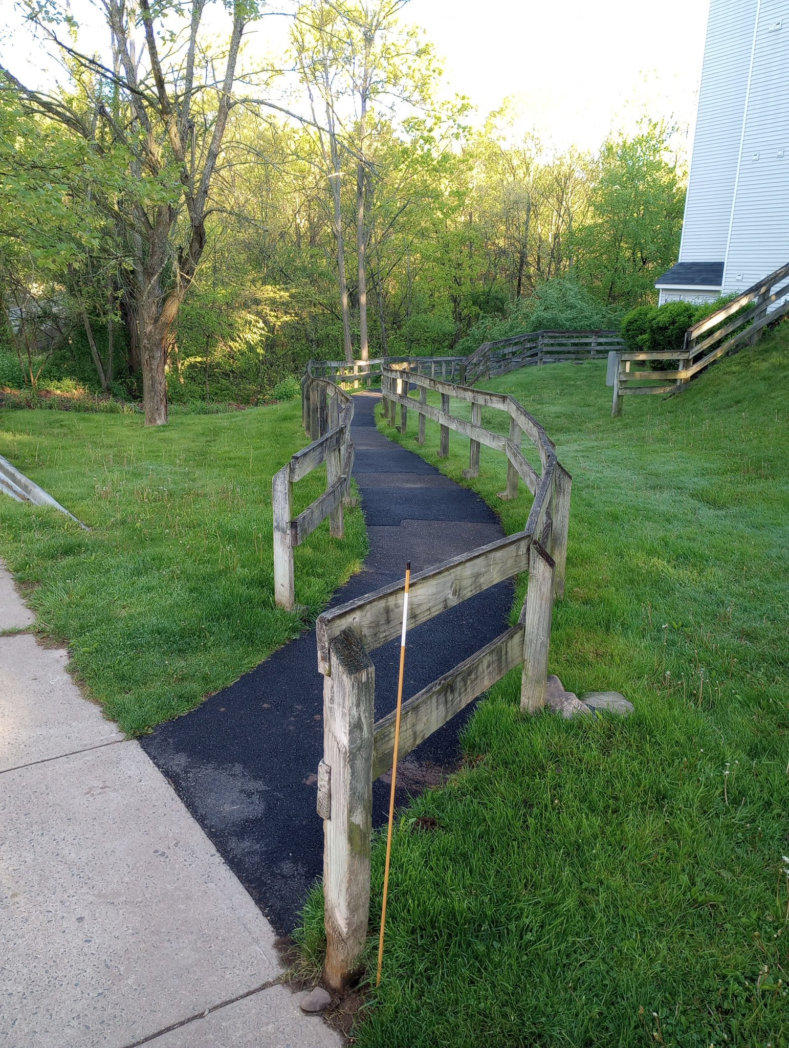
The path was the Farmington Heritage Canal path and was nice and wide. Occasional bumpy tree root cracks but otherwise a nice ride for most of the first 15 miles.
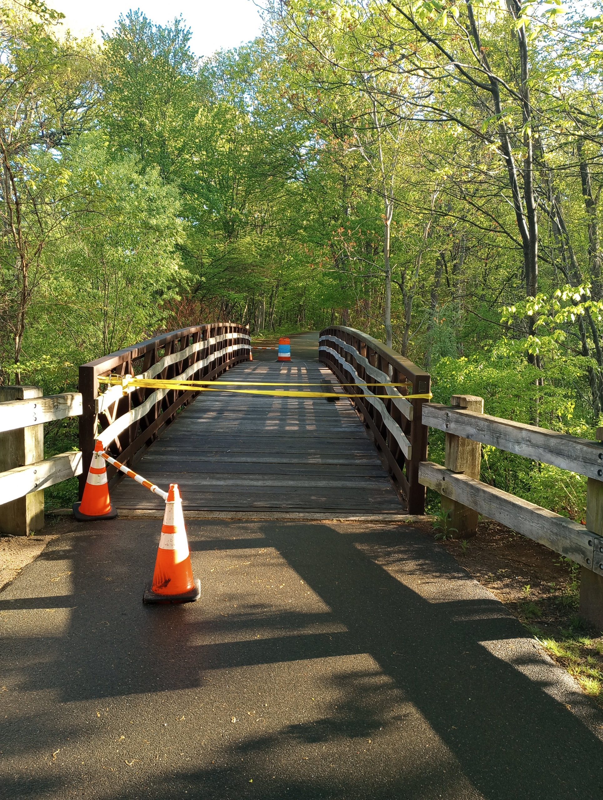
This bridge was out but looked safe enough…
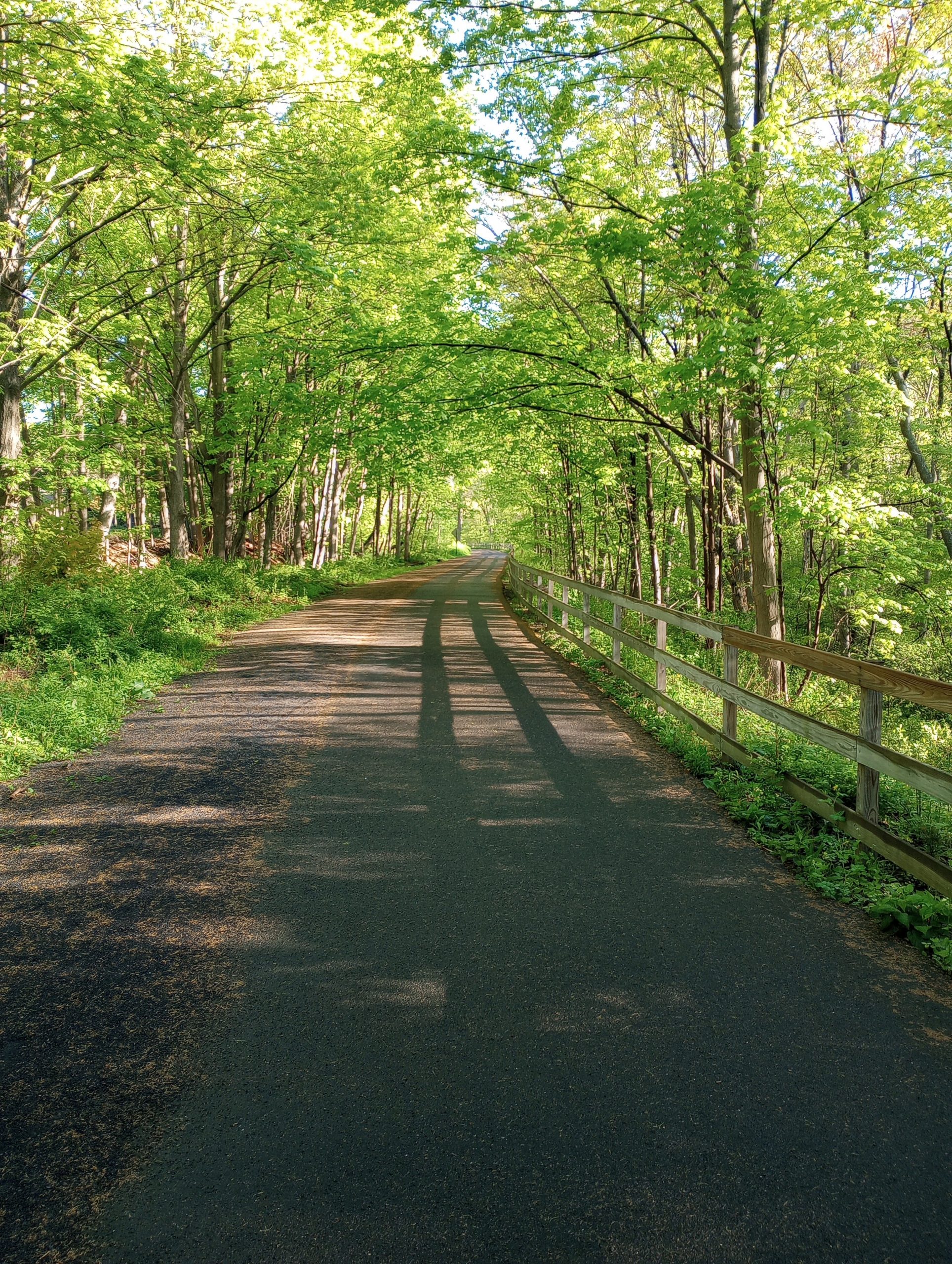
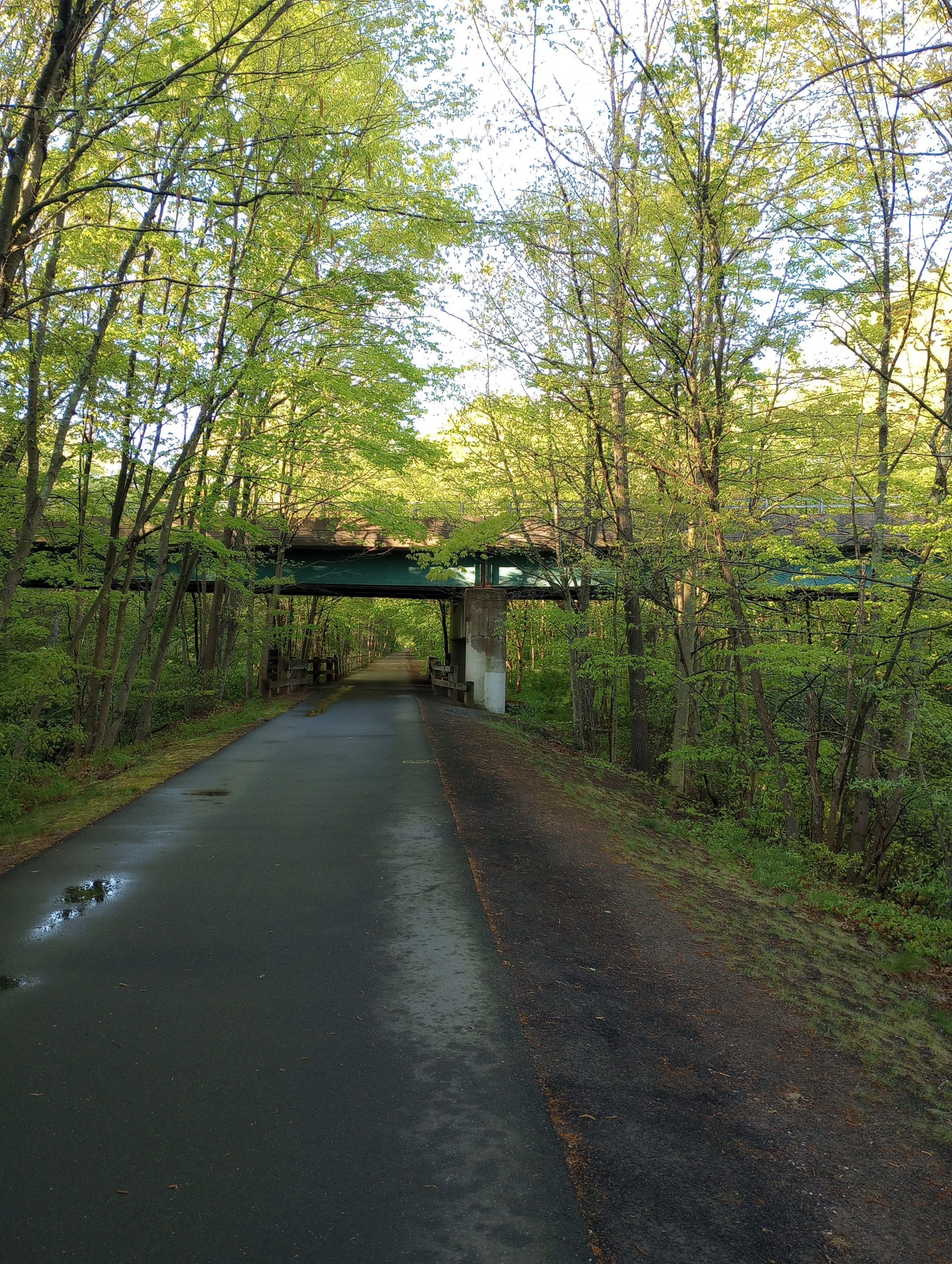
Another picture of the canal route. I saw runners and cyclists and some walking. The most obnoxious was a couple who cycled with a small yappy dog in a backpack. When they would pass people walking dogs the yappy one would let out sharp little barks. They cycled close to my speed so I heard them for a few miles.

There was some nice signage.
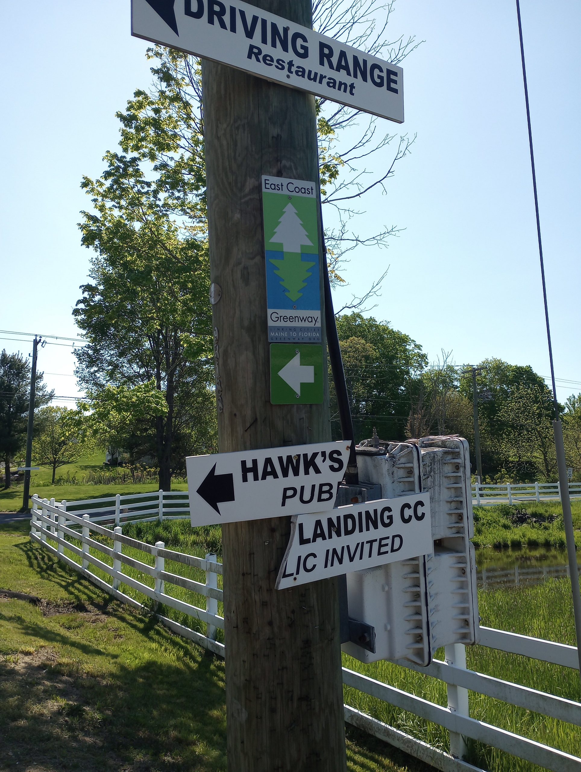
After the canal were local roads. This section is also part of the East Coast Greenway. I met a few people now touring the Greenway route. It has a mix of trails and roads and seems like a good idea to me.
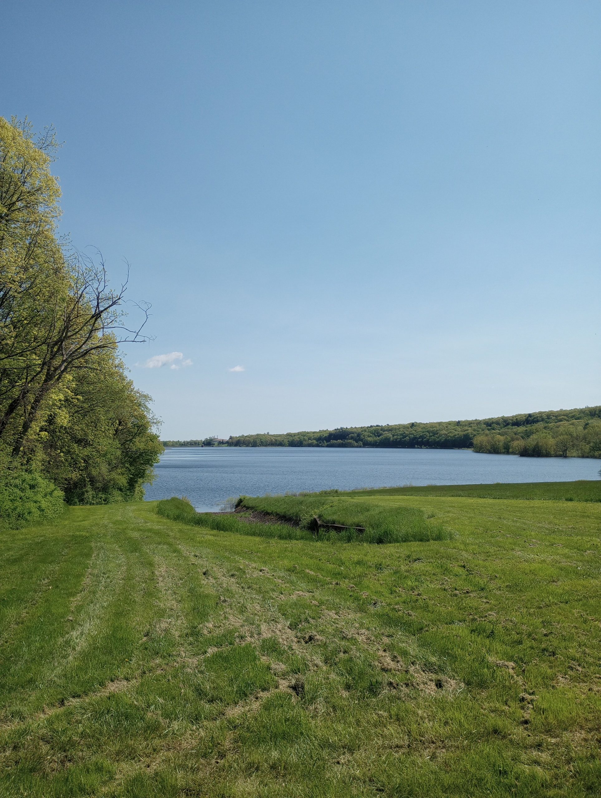
This lake was at the top of a short steep hill of 200ft elevation gain. I walked it.
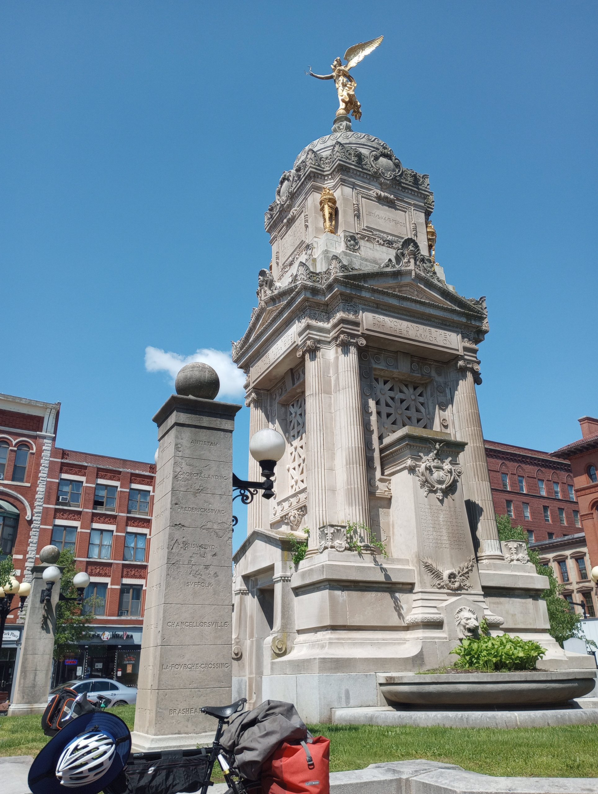
New Britain had a nice town center with this statue. Also a good place to take a break.
Apparently, the inventor of the wire coat hanger came from New Britain. The city has a large Polish population (New Britski). The two are not related.
What surprised me was both a pawn shop and place to buy bail bonds very close to the town center.
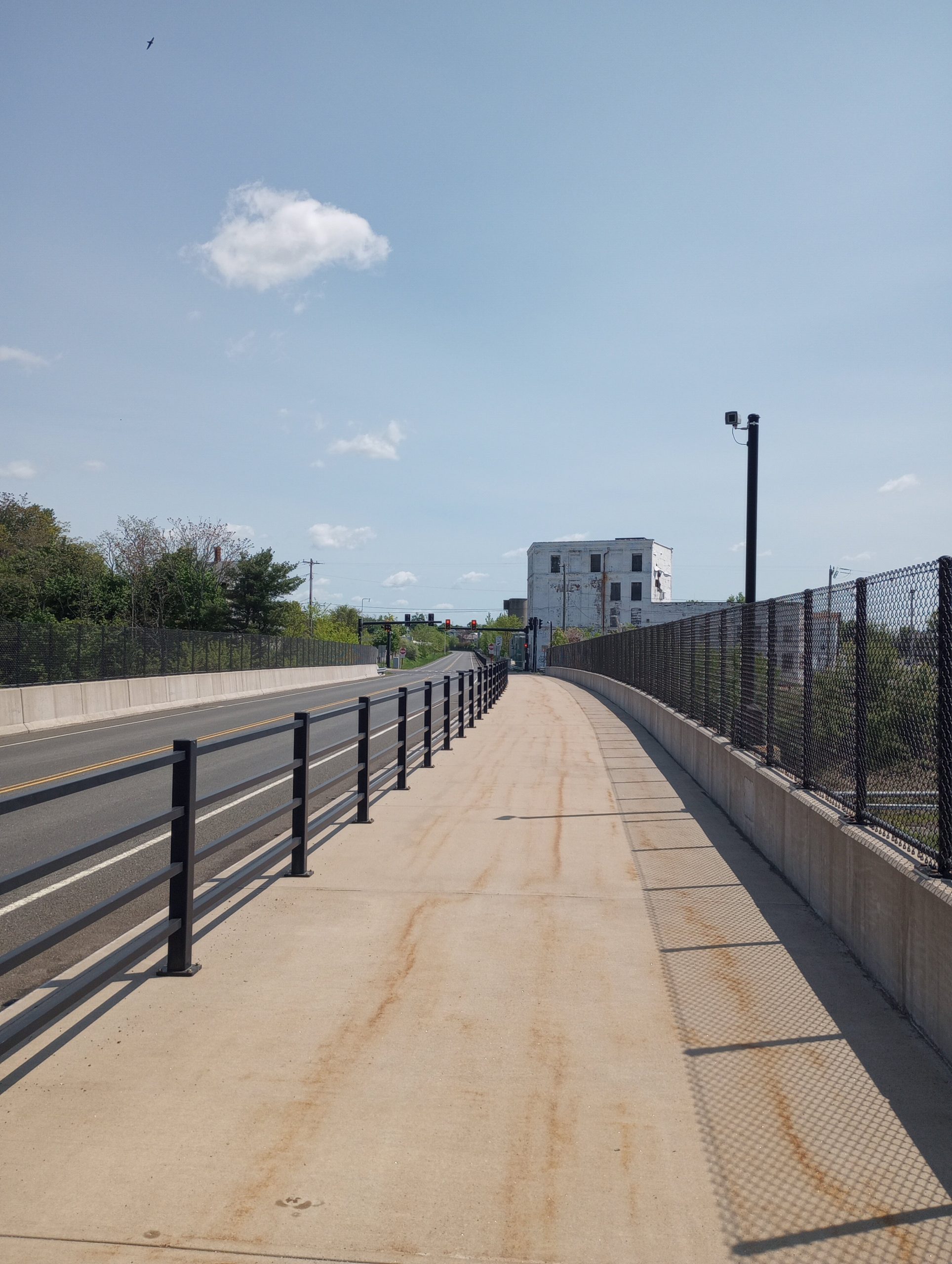
For several miles, I followed this transport corridor below. On the left is a dedicated road only for buses. On the right is a path for cyclists and pedestrians. There weren’t many on the path.
Had an early lunch and then rode to the State Capitol. That makes four of them visited.

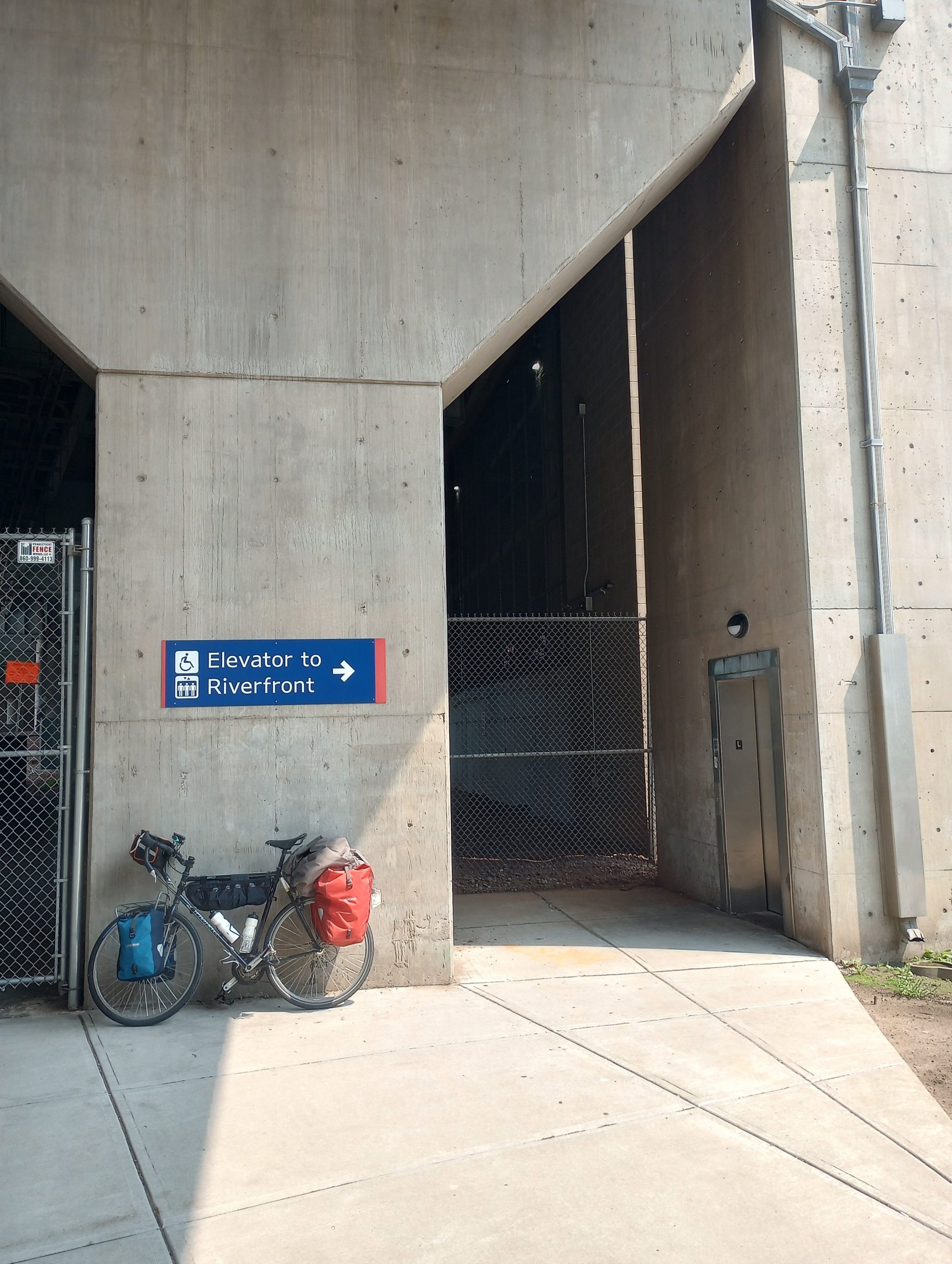
From downtown Hartford I needed to get across the Connecticut River. Problem was the walkway was way above. This elevator gave a clue but wasn’t yet “operating for the season”. Eventually, I figured out how to get up top.
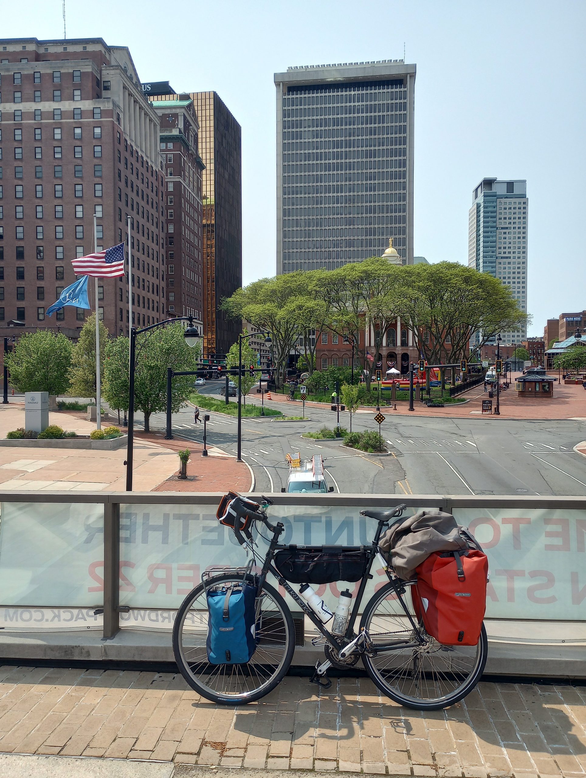
One last picture looking back at the city.
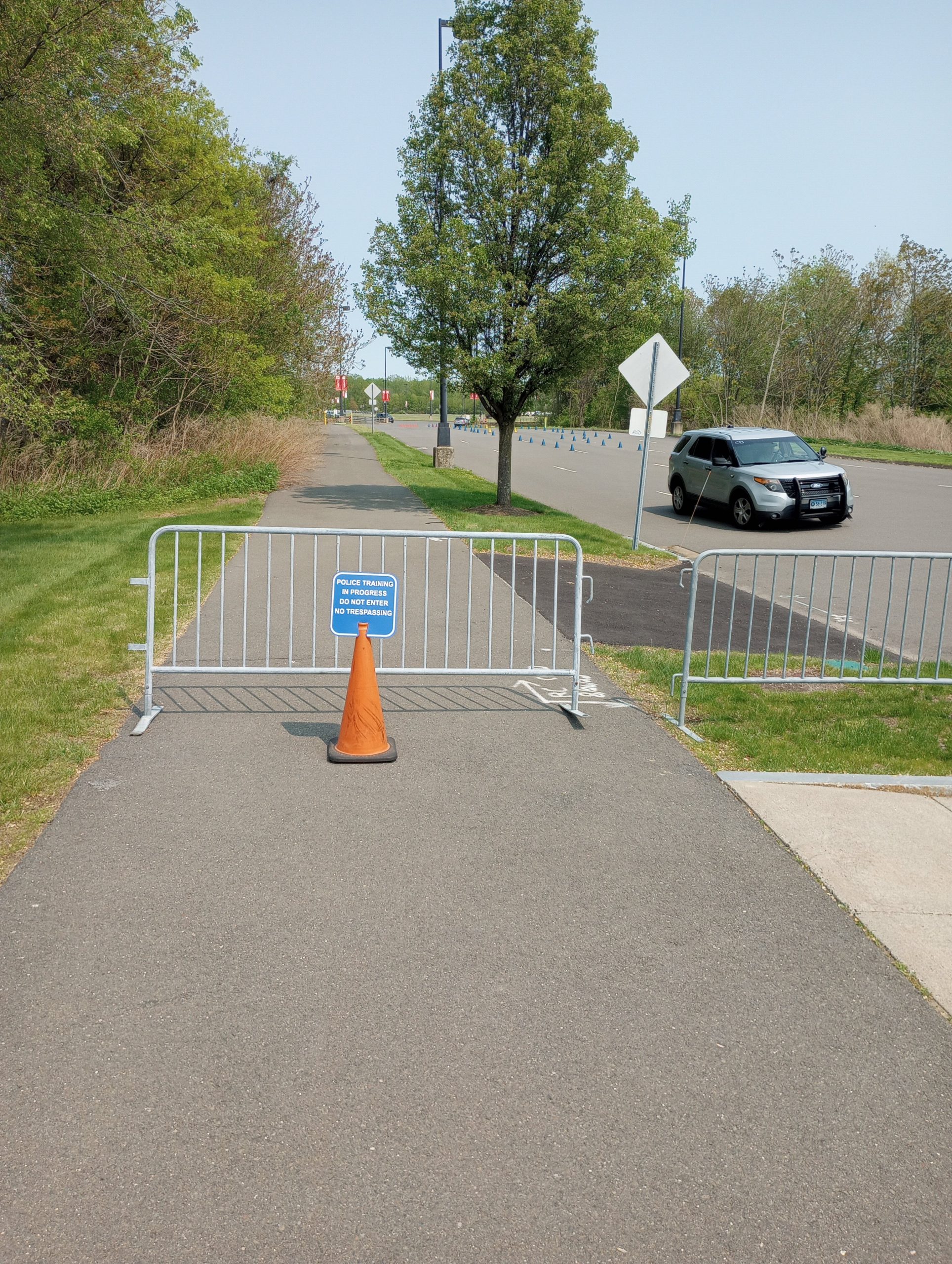
I headed to East Hartford to be just slightly closer to Providence. Encountered two different trail closures – this one for police training. However, I found my way. Not too difficult overall.
Strava tells me 41.14 miles, 4:44:46 elapsed, 8.7 average speed, 1083 feet of climb and 2877 calories.
WP Strava ERROR 403 Forbidden - See full error by addingdefine( 'WPSTRAVA_DEBUG', true );
to wp-config.php