Baltimore, April showers bring May flowers?
Highlights for today were crossing Baltimore and cycling 30 miles along a busy highway in the rain. While it might have been tempting to take a rain day, I’m happy to have gotten in the ride today. In particular, I wanted to cross Baltimore *not* at rush hour and I am now set to try a few options early tomorrow for crossing the Susquehanna River.
I was on the road early. The weather forecasts suggested dry until 8am, but it was already sprinkling when I started out. There wasn’t much traffic at all on early Sunday morning.
My GPS directions got confused (or maybe it was me trying to follow them :)), so I ended up mostly following my own directions and consulting Google Maps occasionally. Inbound wasn’t difficult, just head to the tall buildings. Outbound, I picked a few key turns and was through.
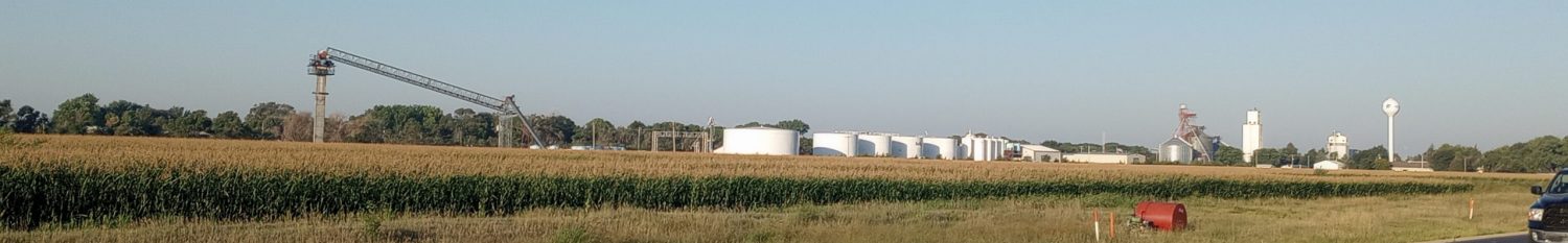
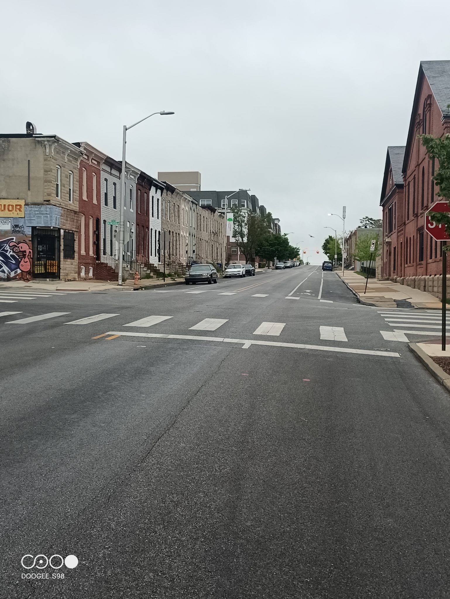
This brought me past the stadium, past a commercial downtown and then along some streets that looked like the ones below. Some were nicer and some had a few boarded up buildings. There weren’t many people out on a damp early Sunday morning.
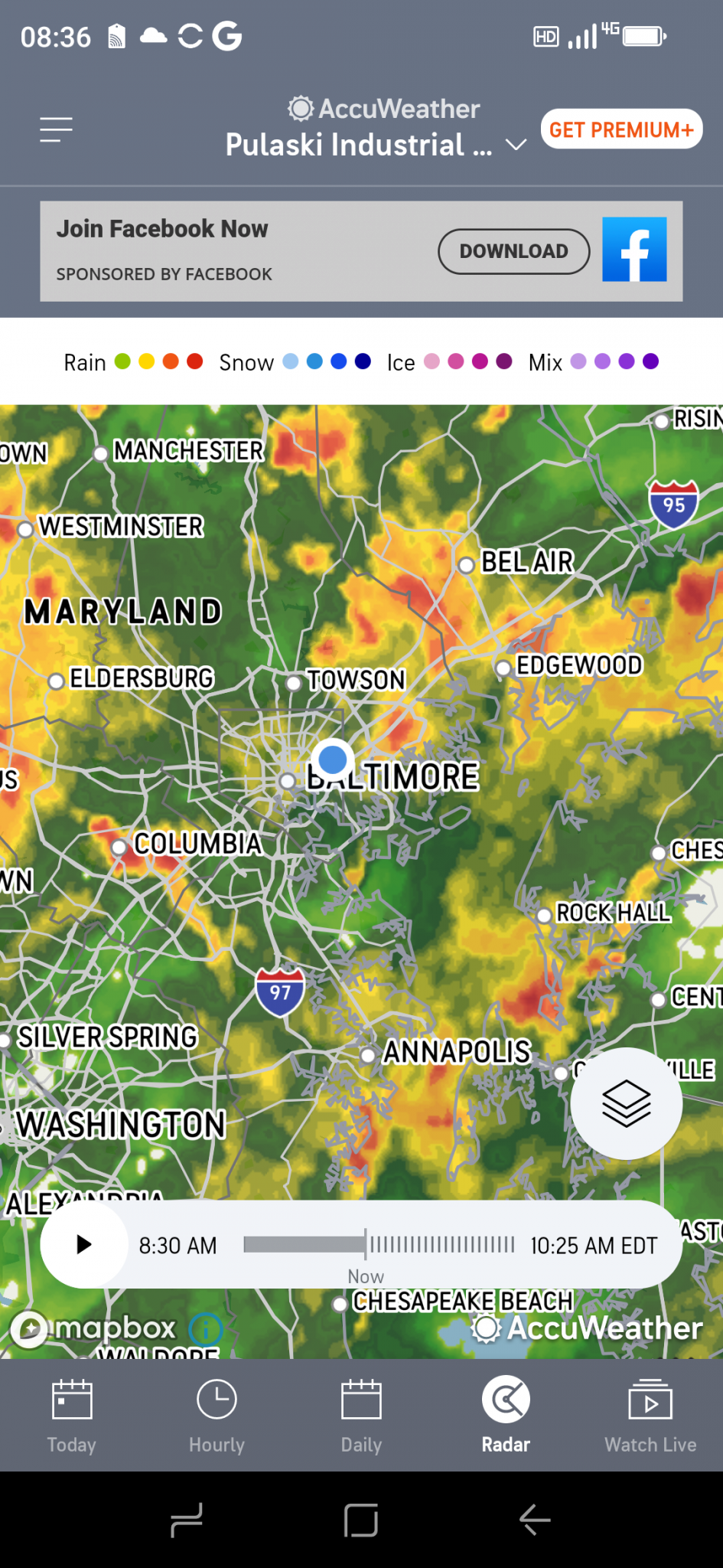
By the time I crossed the main part of the city. The rain was steady and the weather map showed large blobs of green with occasionally more intense. I stopped for a bite and to dry briefly.
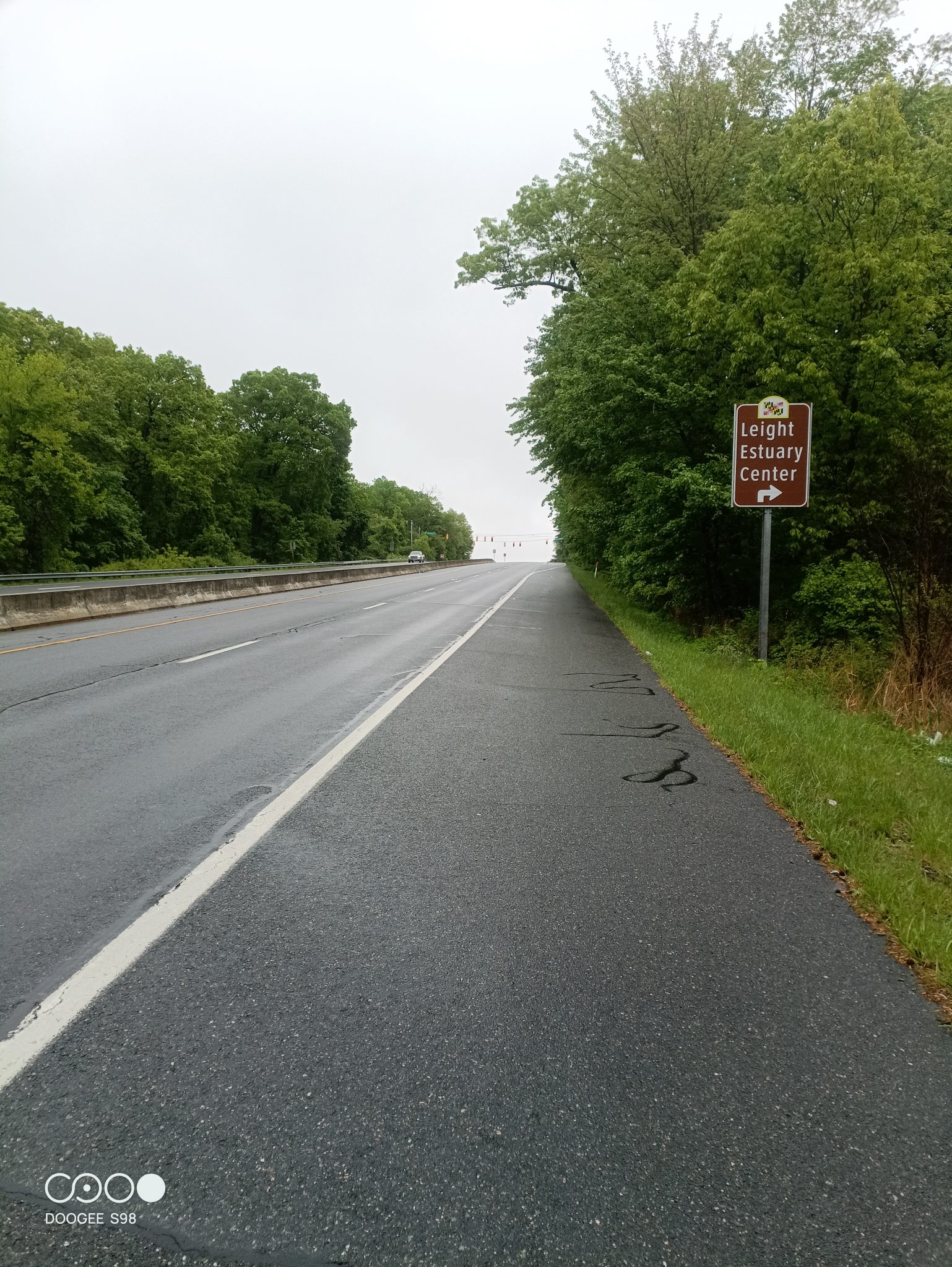
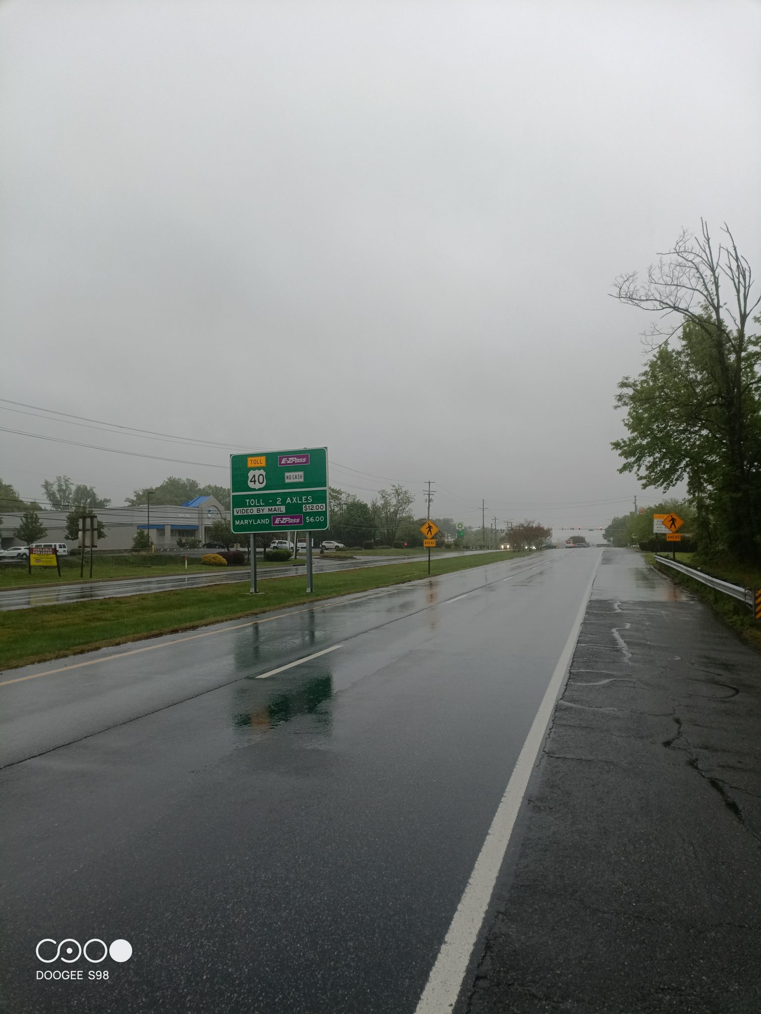
From here my route followed US 40. It was a busy road with two lanes of traffic in each direction, but mostly had good shoulders. The rain was intermittent, sometimes heavy and sometimes pausing for a bit. But the cars/trucks left a spray and there was just enough headwind to bring rain into my glasses.
Without too much difficulty, I found myself in Havre de Grace. My chosen motel wouldn’t let me check in before 3pm (and were sticklers on it), but did have a spot out of the rain.
Below is a photo for next challenge, that I decided to leave for tomorrow. The Hatem Bridge over the Susquehanna River is a toll bridge with no shoulders. Bicycles are only allowed on weekends and with a big flashing light you can enable on the roadway. It is a little over a mile across the bridge.
I decided with less visibility due to rain, cycling the bridge this afternoon wasn’t the wisest thing and put off to tomorrow morning hitching a ride across. There are a few options I have to try: (a) there is a cab service listed, I’ve tried contacting but so far no answer – the motel does think they exist (b) Uber is in this area but doesn’t let you reserve in advance – so try an Uber XL (c) local transit operates a bus about every two hours or so. If all these fail, I can cycle upriver to the next bridge, but that is a 20 mile detour and next bridge isn’t much better … so will see what tomorrow brings. I am at least optimistic I will have reason to use my sunscreen for first time on the trip.
The Stava link for today – shows an even slower ride than yesterday: 41.80 miles, 1328 feet climbed, 3050 calories burned, 4:42:25 moving time for an average moving speed of 8.9. What I thought was particularly amusing was that my bike computer sometimes tells me in advance of a hill on the route – and then shows the distance/elevation yet to go. Once you get to the top there is a celebratory chime as in “you made it”. I was amused because some of those hills on US 40 I was rather slow so almost mocking me with the chime. I think I climbed/descended the same 60 ft a number of times.
WP Strava ERROR 403 Forbidden - See full error by addingdefine( 'WPSTRAVA_DEBUG', true );
to wp-config.php