Providence, visiting Rhode Island in six hours
Today I made a quick visit to Rhode Island. Enough to stop by the capitol and see the highest point in the state but not much else. Still had a few steep climbs but overall easier than yesterday.
The morning started out cold and with hints of fog. My cycle computer said 42F (6C). There were quickly some short hills to climb. The first 10 miles were more climbs than descents to the high point for the day.
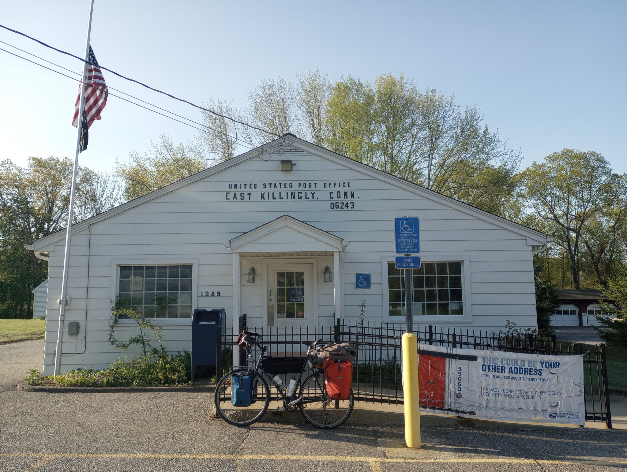
This could be your other address!

Just before 10 miles, I came to the Rhode Island border.
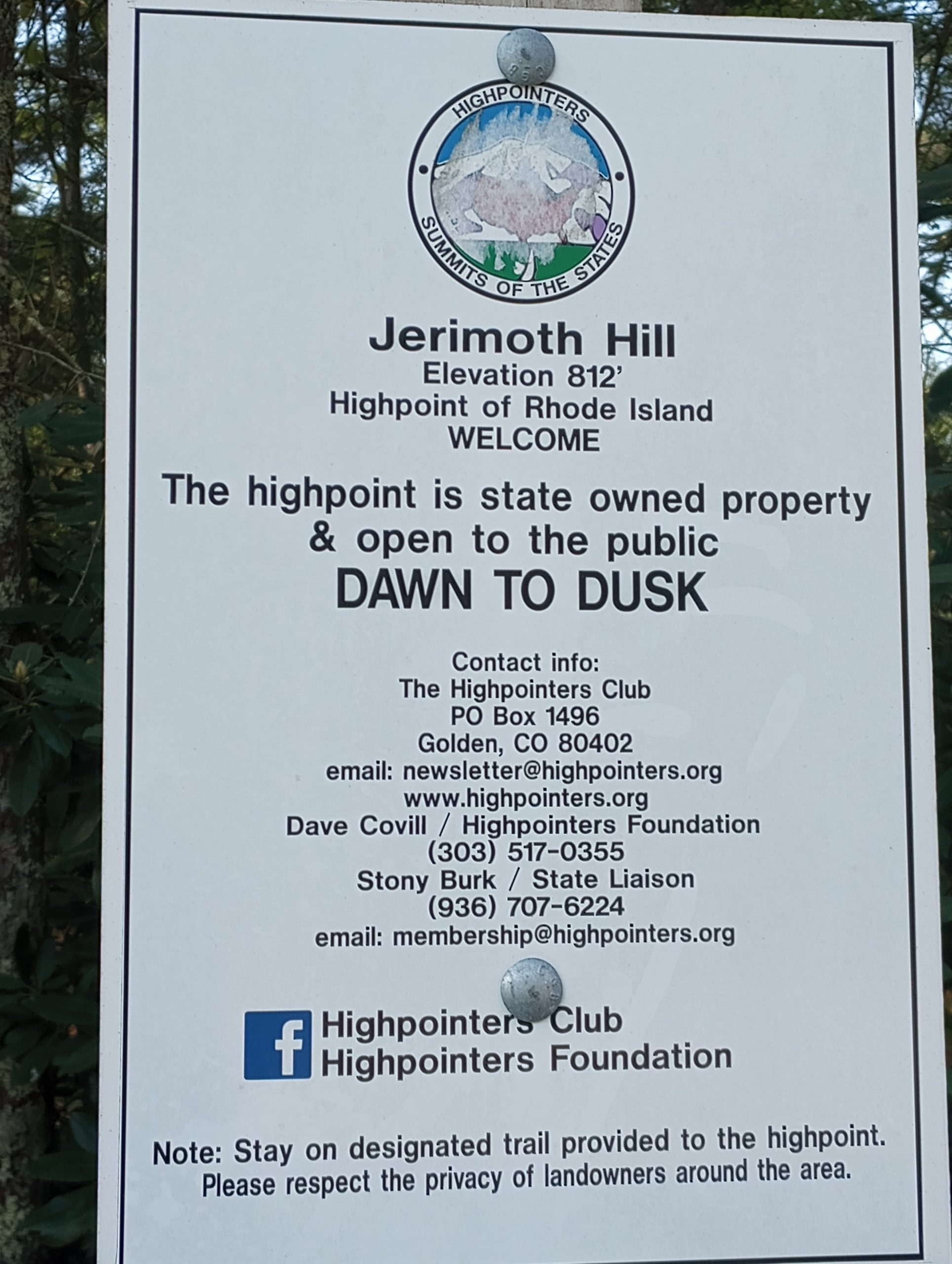
Just after the border is also the highest point in Rhode Island. The road is already at 802ft and from here is a 0.25 mile path to the high point.

See those piles of stones? Those are on the high point. The tree at left has a cord around it that is secured to the summit register.
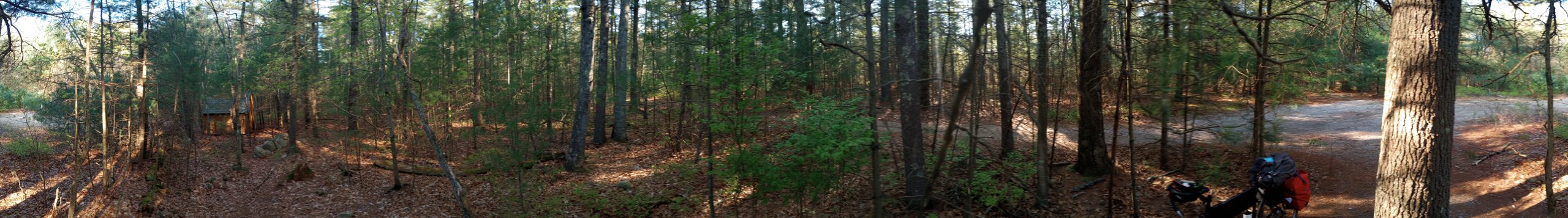
I took a 360 degree panorama shot from the summit. Yes, this is in a forest with 35ft tall trees, so not much of a view.

After Jerimoth Hill, 11 miles of larger road with a good shoulder. The next 10 miles to the capitol was mostly variations of residential streets with the last few miles urban. These roads sometimes had speed bumps.
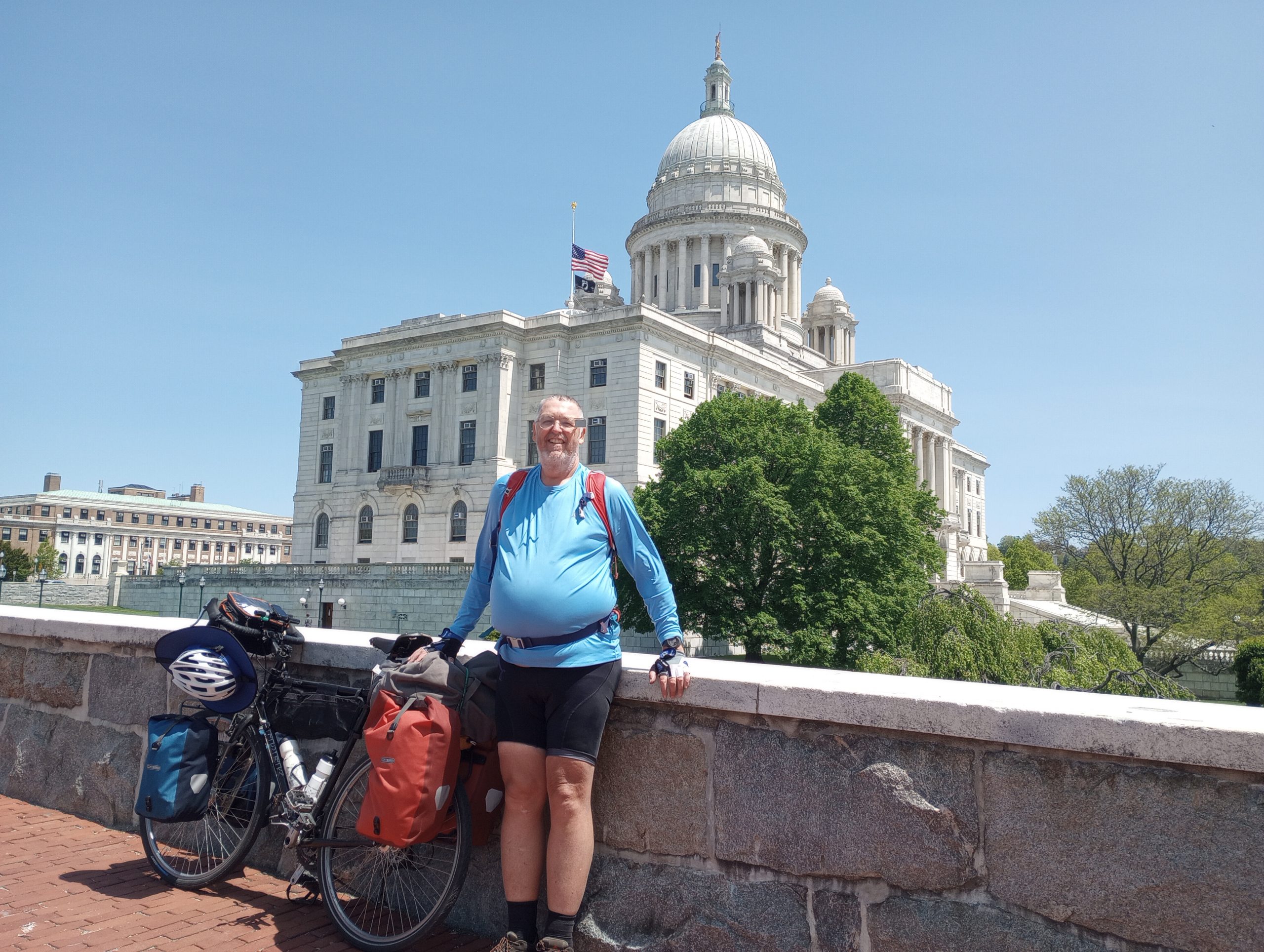
Made it to the Rhode Island state capitol.
From here I decided to cycle outbound heading north towards Boston. Cycled about 14 miles with 31 left to go.
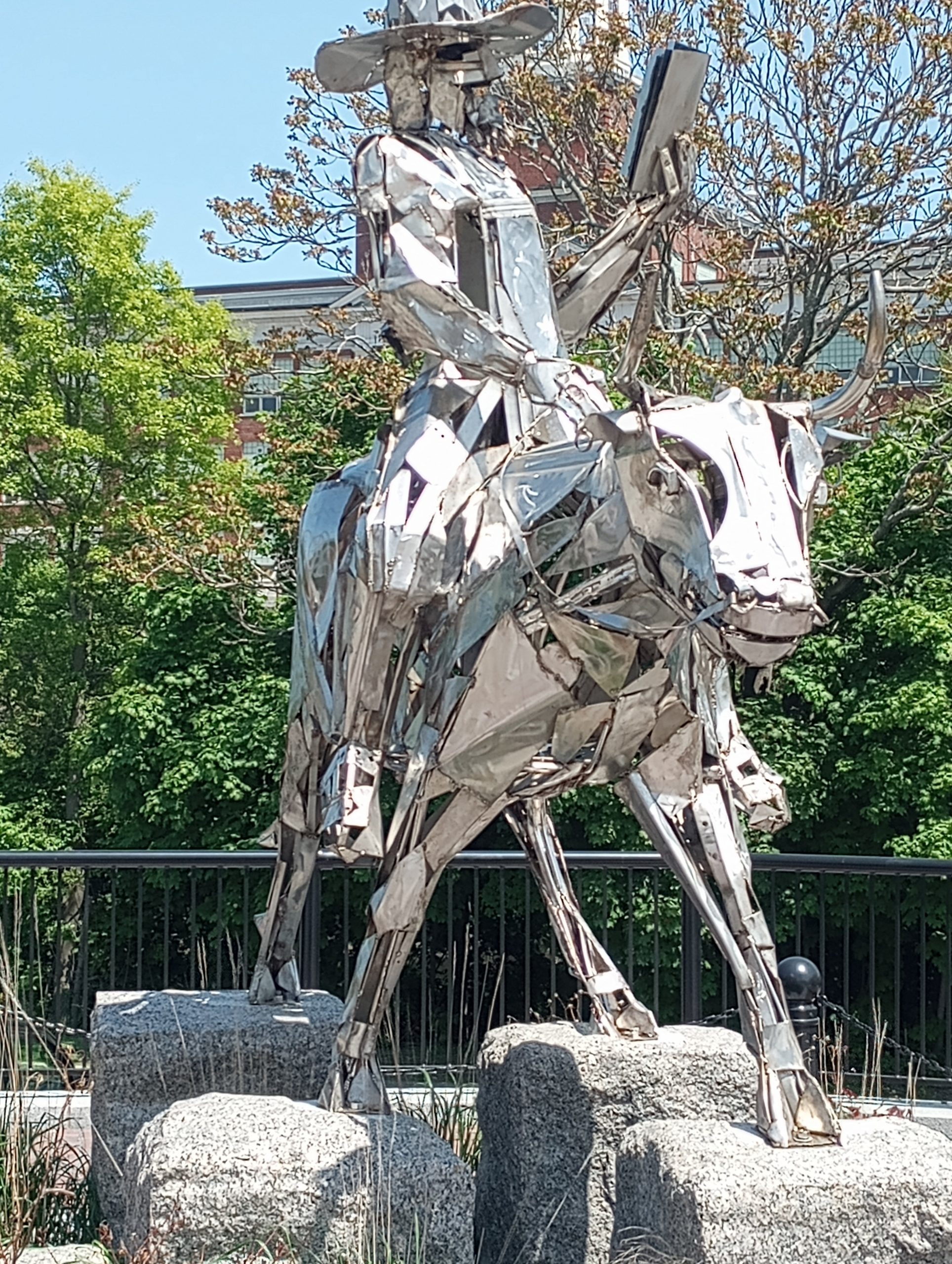
Statue of a man on a bull reading a book. Apparently also controversial – https://www.wpri.com/target-12/tribe-members-decry-new-monument-of-william-blackstone-erected-in-pawtucket/
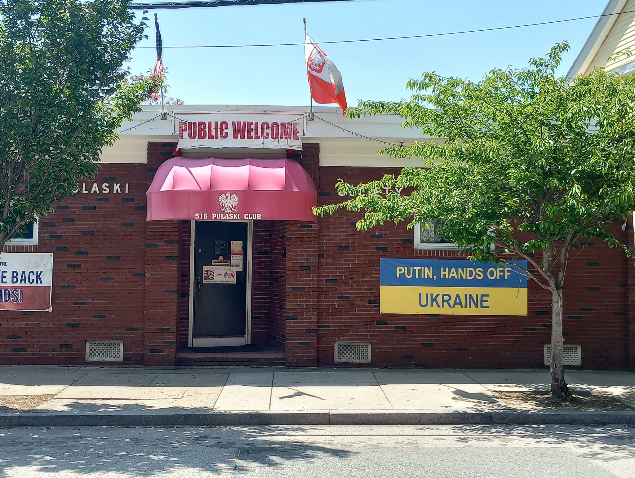
Local Polish club…
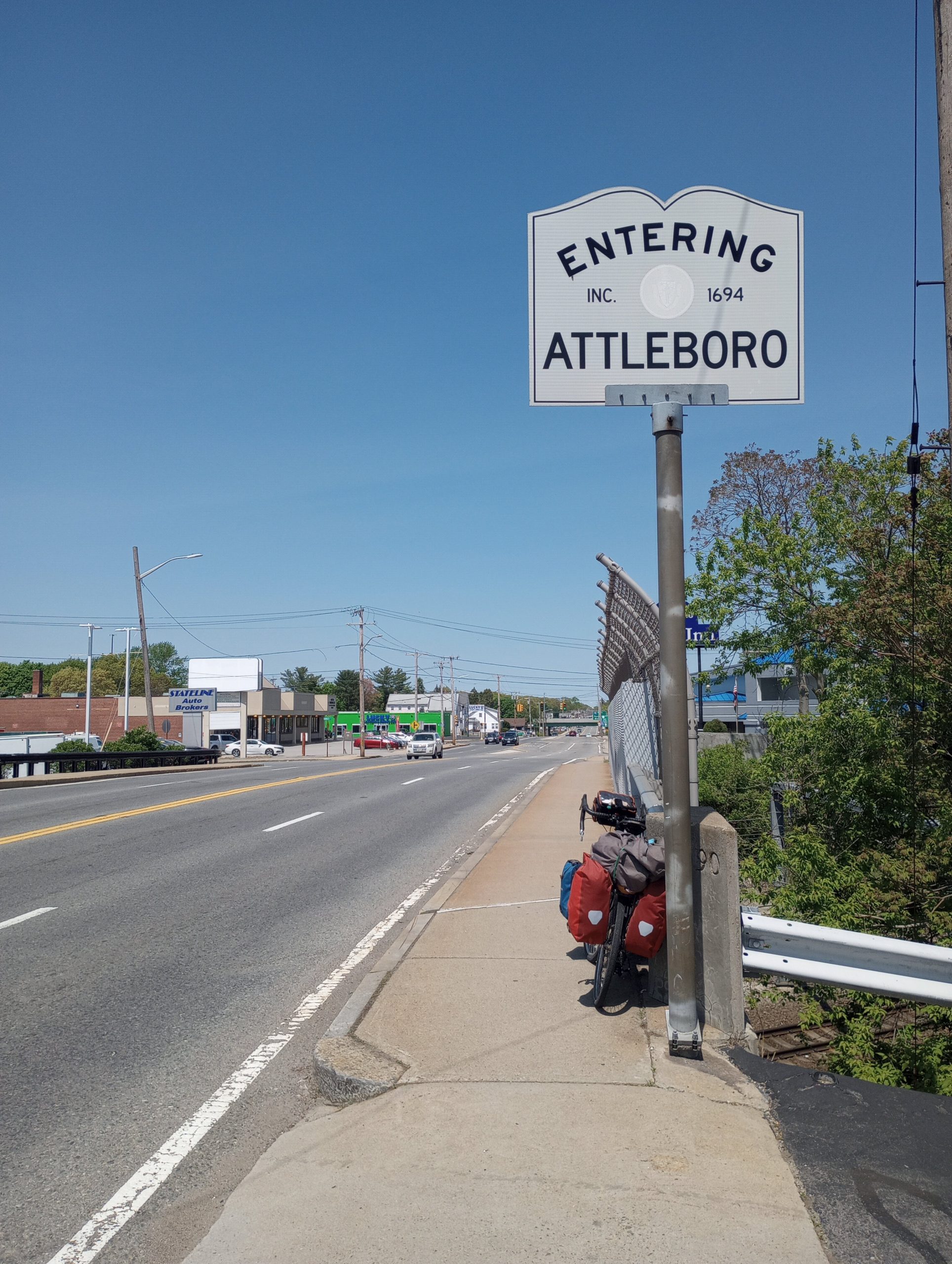
This brought me to the Massachusetts state border. In the background you can also see State line Auto business.
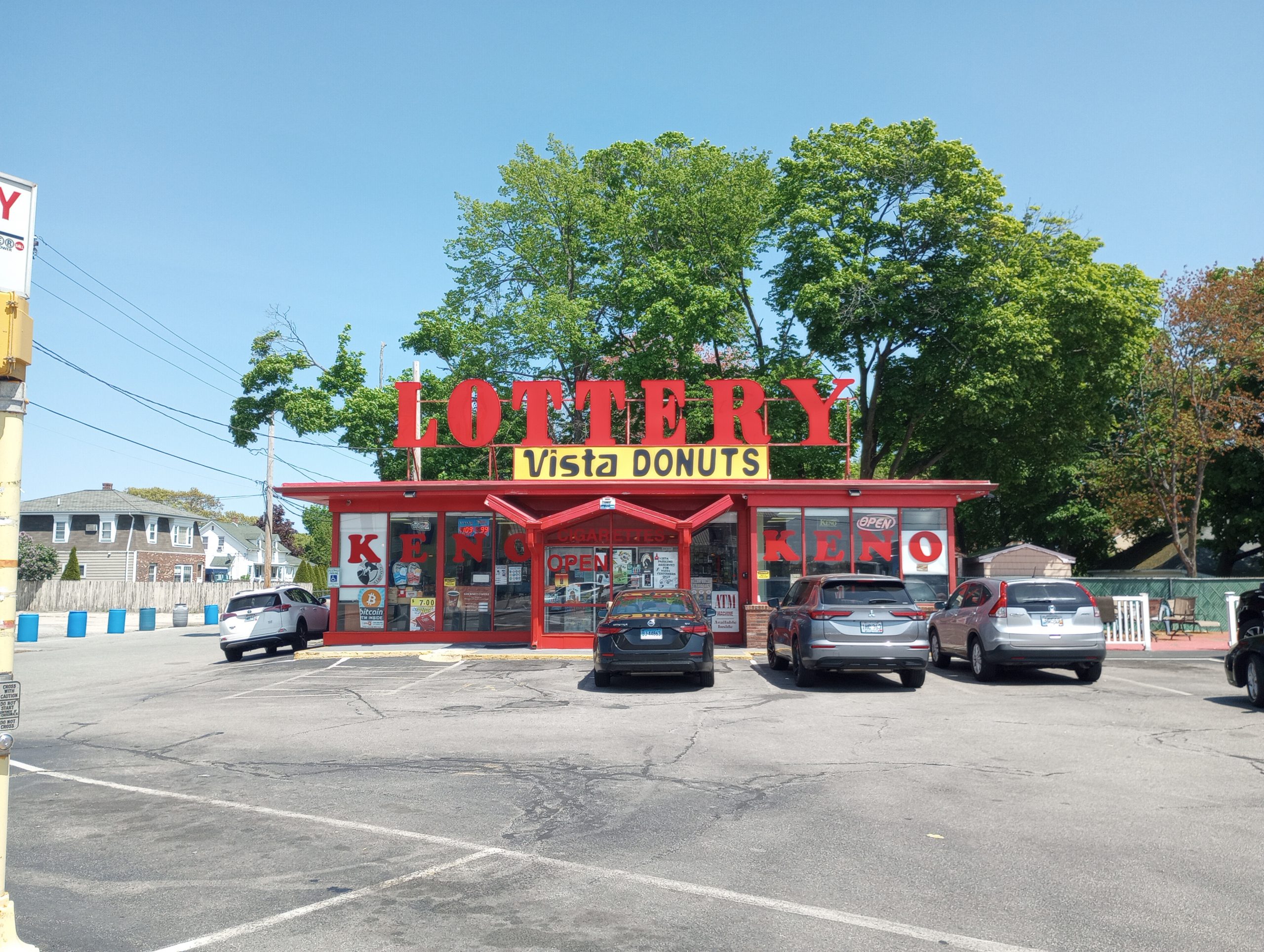
I can understand why lottery tickets might be sold at the border. I am less certain of donuts.
Overall, a not too difficult day and assuming plan should make it to Boston tomorrow. Those little hills had me checking my route further. I realized I’ll probably do better to go to Maine first and then backtrack via train to come via NH to VT. These CT hills are really pretty small but slow me down enough that I’ll try minimizing the really big climbs. Also true for Harrisburg/Charleston but still understanding what I might do there.
Strava tells me 42.29 miles, 5:06:02 elapsed, 8.2 miles/hour, 2290 feet of climb and 3685 calories. I expect I lost about two miles not having the computer recording (it still tells me where to go/turn and counts down distance, it just doesn’t count up).
WP Strava ERROR 403 Forbidden - See full error by addingdefine( 'WPSTRAVA_DEBUG', true );
to wp-config.php