Montpelier, crossing drainages from the Connecticut to the Hudson
Today was a beautiful day of cycling through Vermont ending at the State Capitol in Montpelier.
I had picked a route that followed the White River up one drainage and then crossed over to the Winooski River. So I expected more climbing the first two thirds and more descent at the end. But how much climbing? My tools gave me wildly different answers: (a) Google Maps said 1700ft (b) RideWithGPS said 2598ft (c) when I loaded the route into my GPS it said 3868ft. That is the difference between a less than average day of climbs and a long tough day.
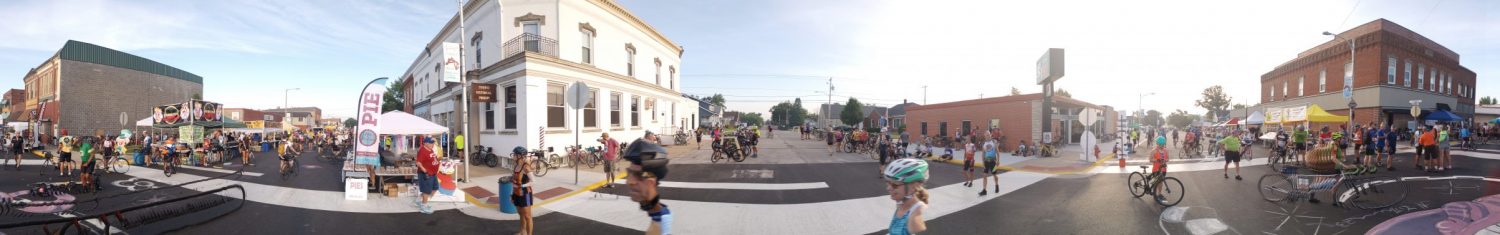
Here is the main street in White River Junction. It was 38F starting out, so at least warmer than yesterday. As a bonus, I had tailwinds from the south today.
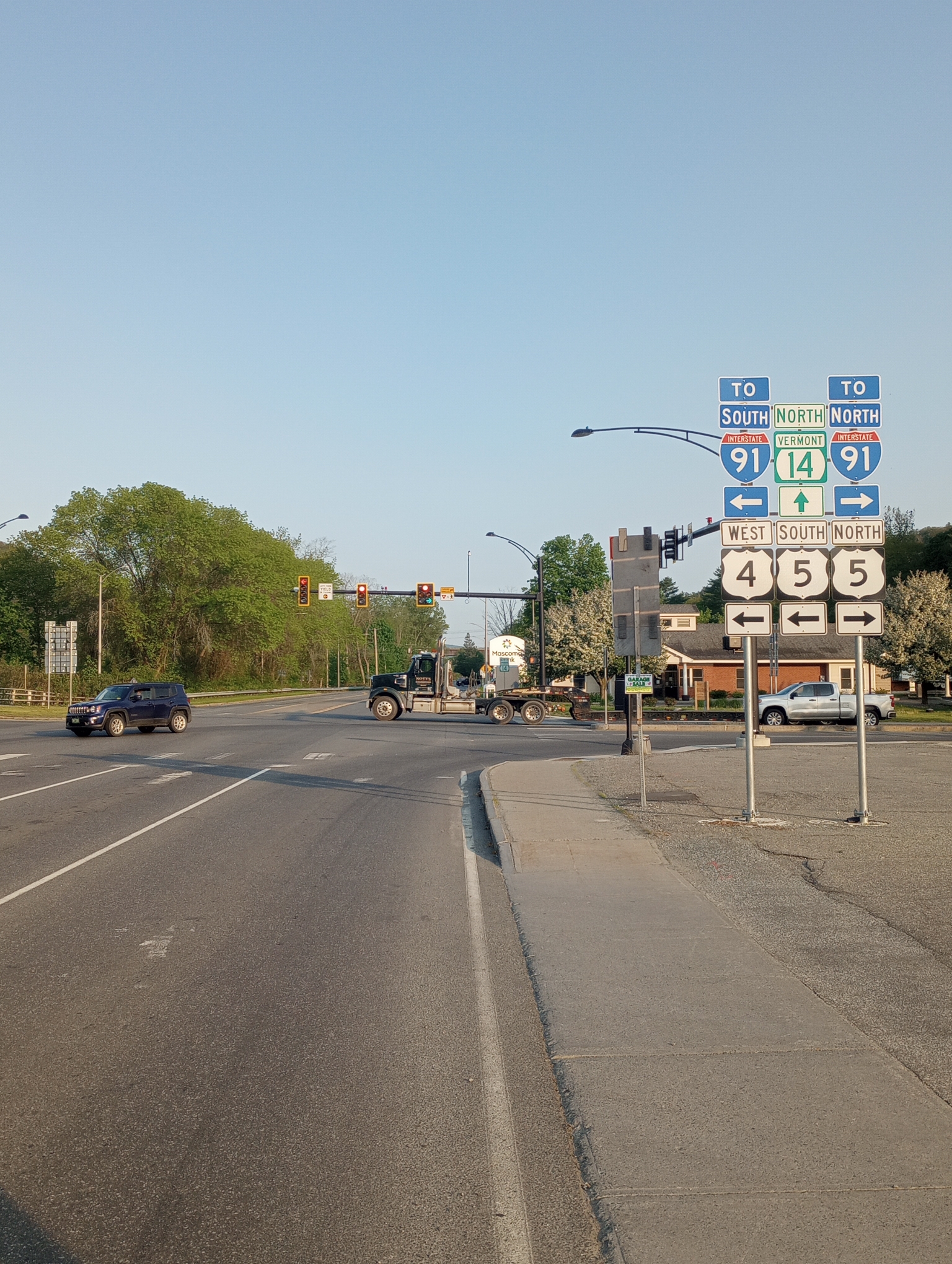
Other roads every which way, but I mostly followed 14 today.
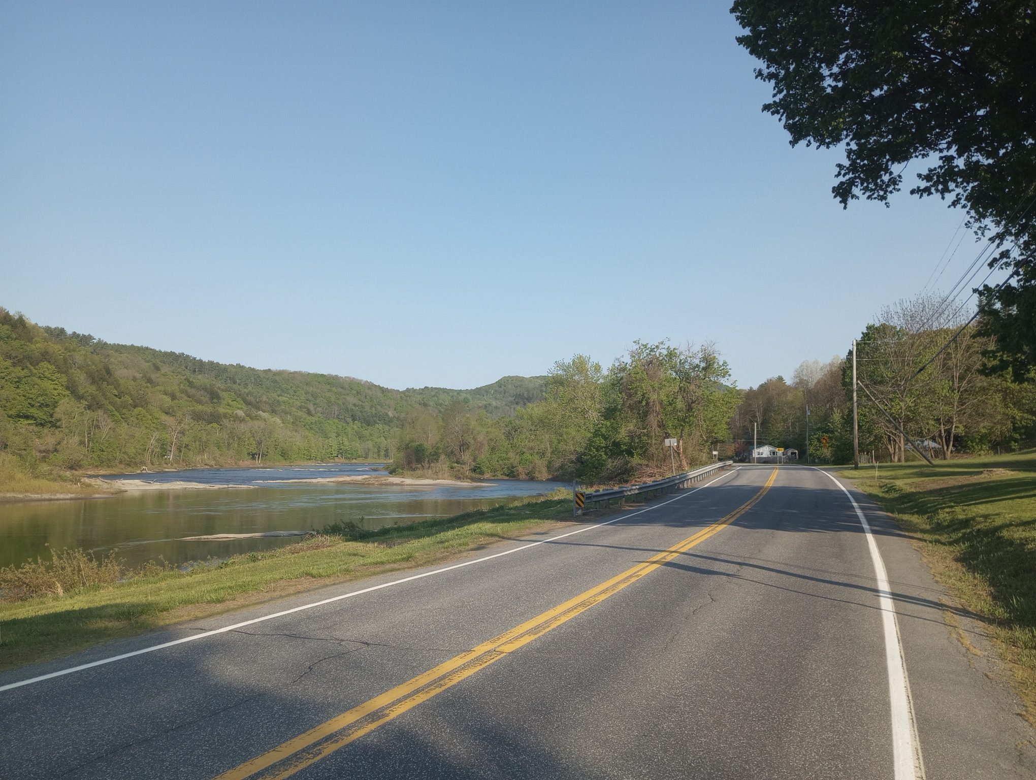
The river was large and the road mostly followed the river with an occasional short little hill up the side and back. There wasn’t much traffic.
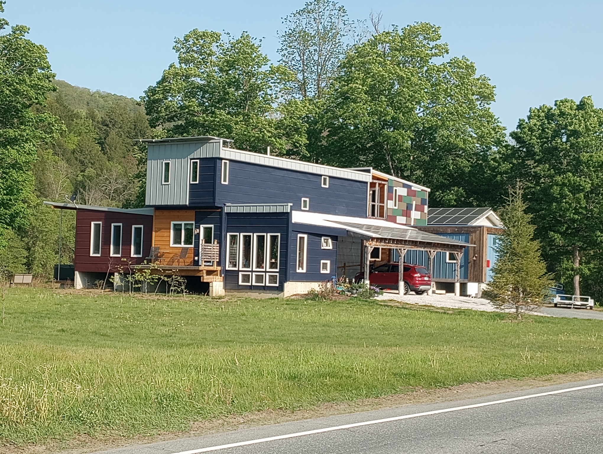
These folks built a house out of shipping containers.
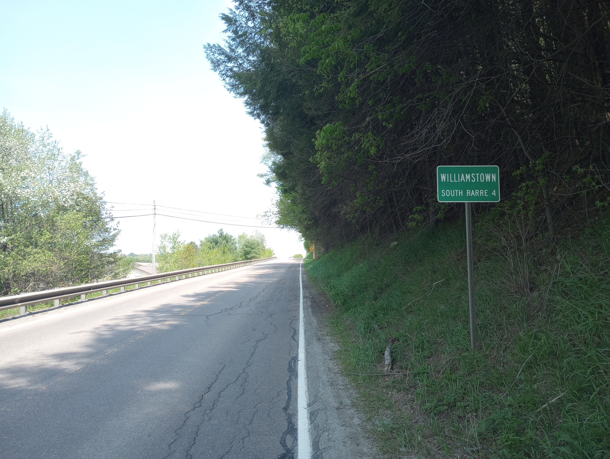
One nice thing about the city signs in Vermont is they include distance to the next following town.
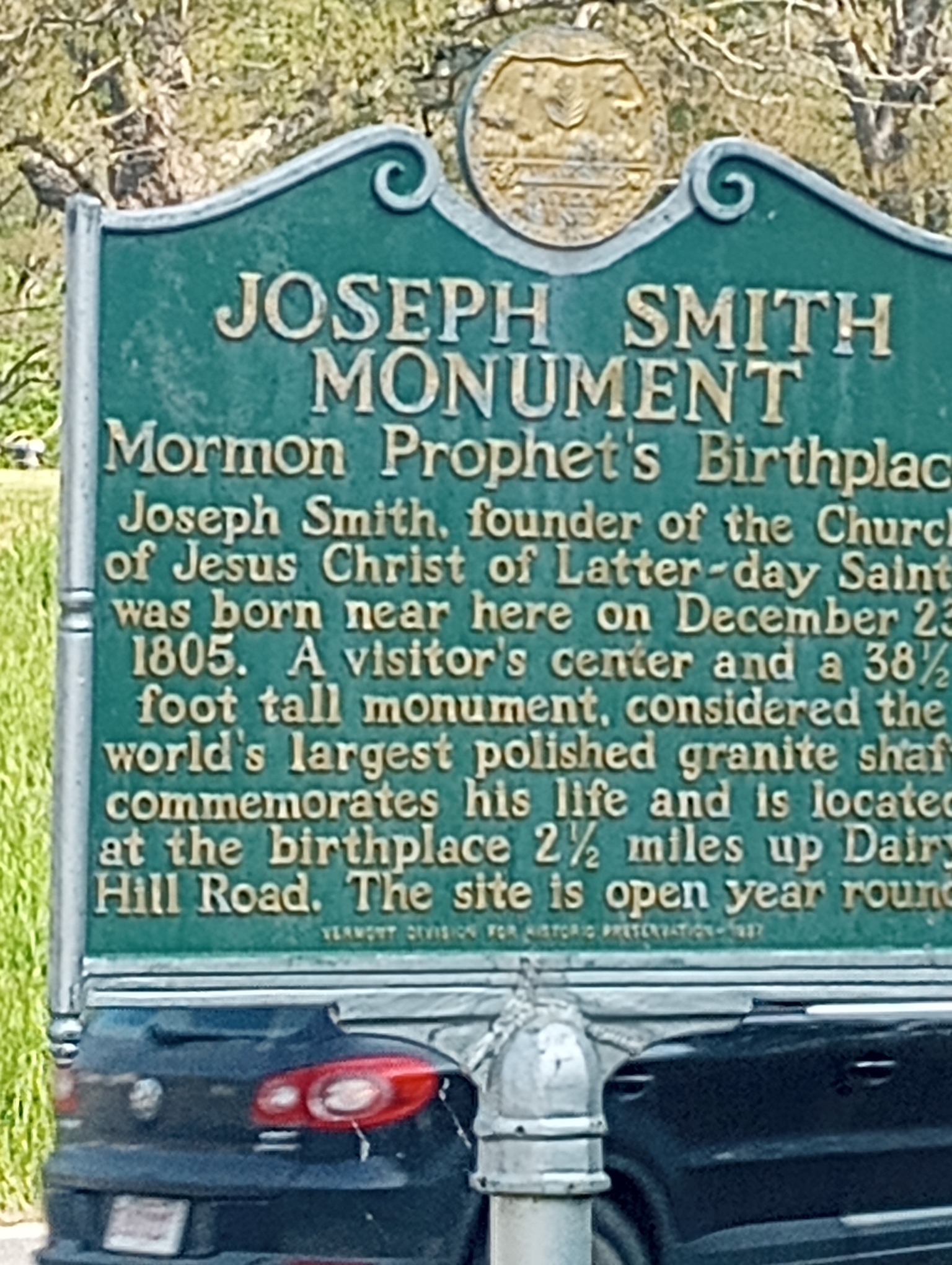
I didn’t realize Joseph Smith had a connection to Vermont.
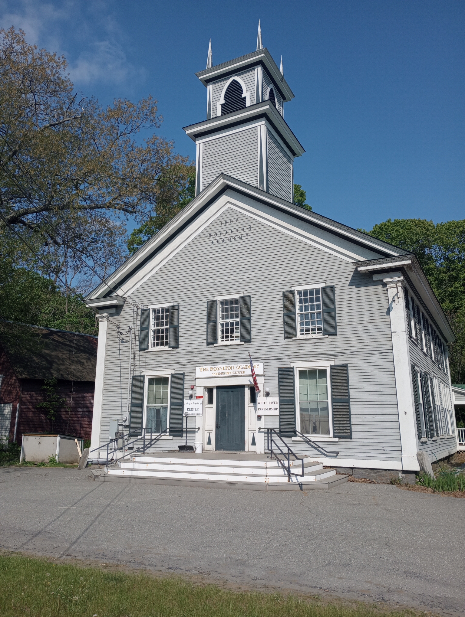
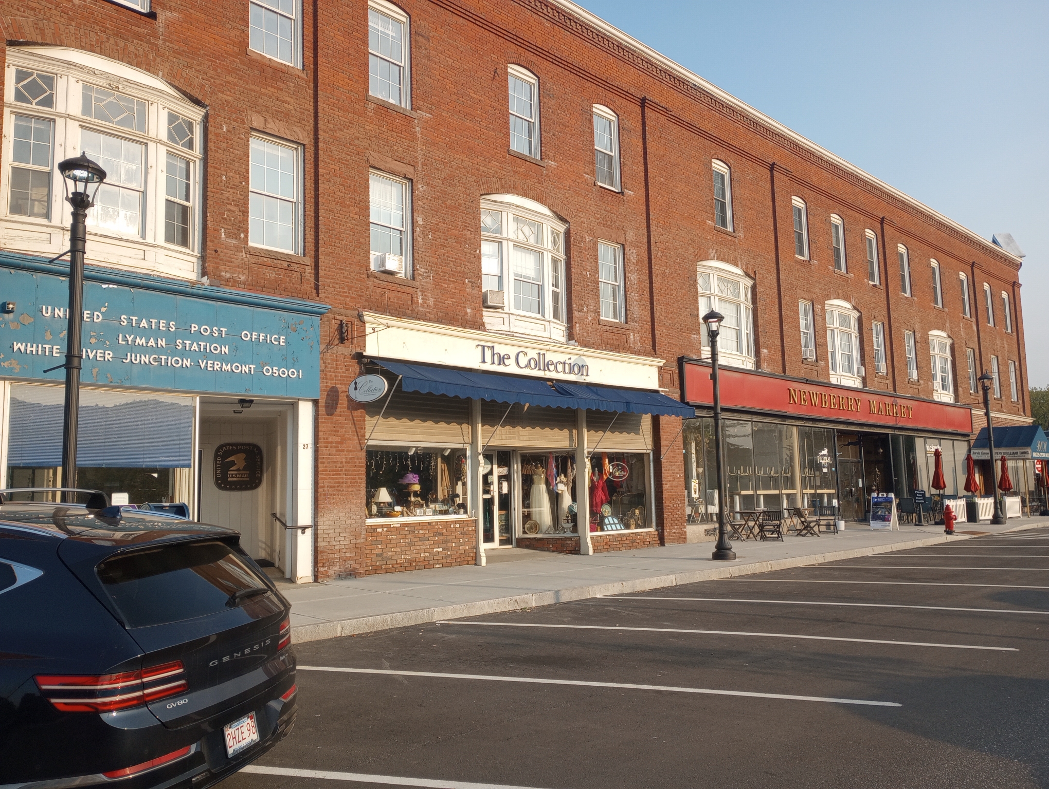
There are some beautiful old buildings along the way.
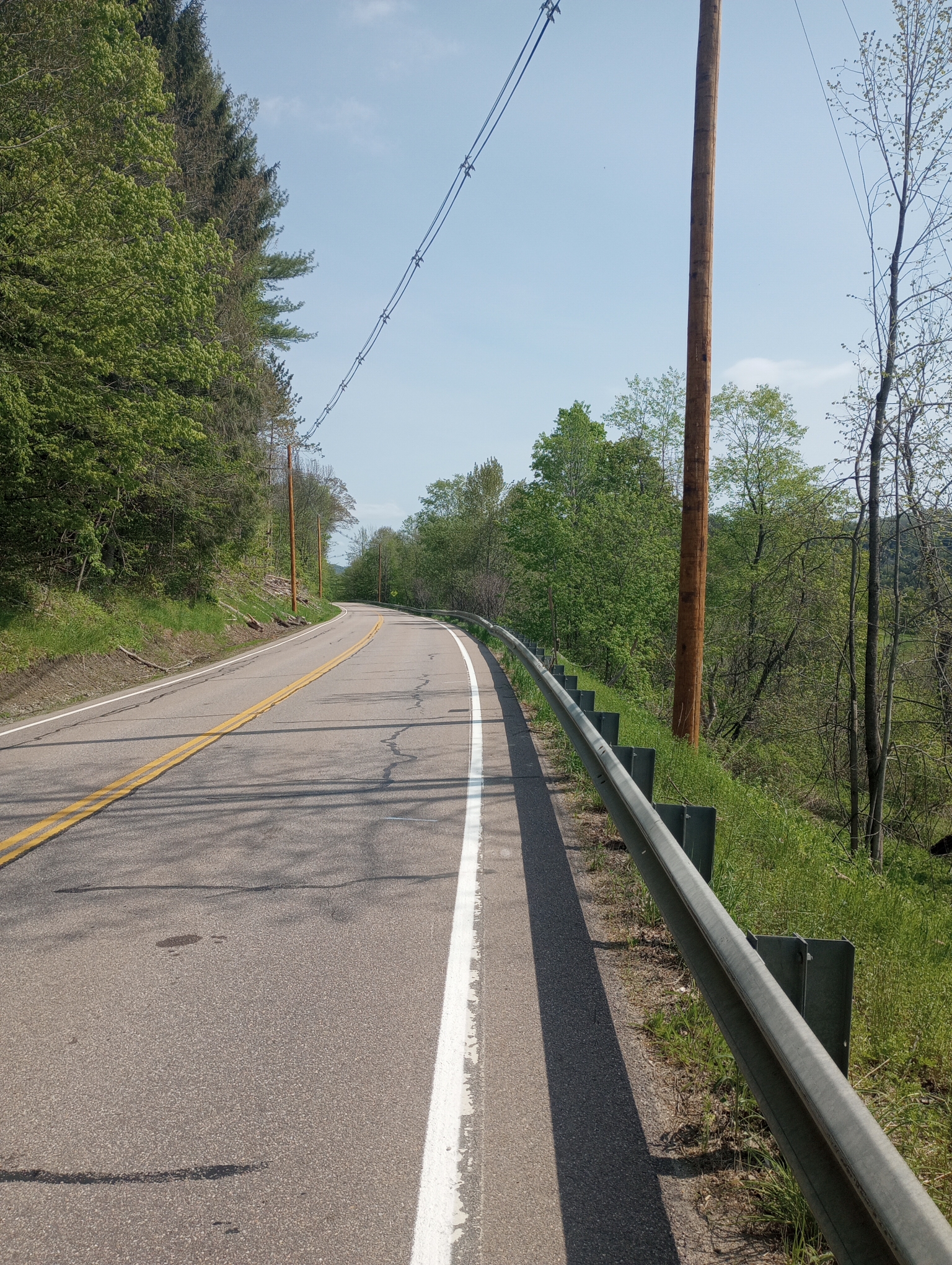
This is taken after the road split and 14 followed a much smaller valley further uphill. Some more short hills but overall not too bad.
However, my GPS lists what it thinks are notable climbs and how far away they are. It showed a considerable up/down region of climbs for 2.4 miles between mile 38 and mile 40.4. A total of more than 600ft climbed in that area. So I anticipated a tough stretch.
When I got to mile 38 it turned out mostly bogus. The valley narrowed to a thin V but the road stayed in the bottom. There were a few up/down pieces but nothing like advertised. My guess is the Garmin map got confused with the very narrow/steep sides of the valley. Fortunately, my guess is this also added to over-estimating the total climb.
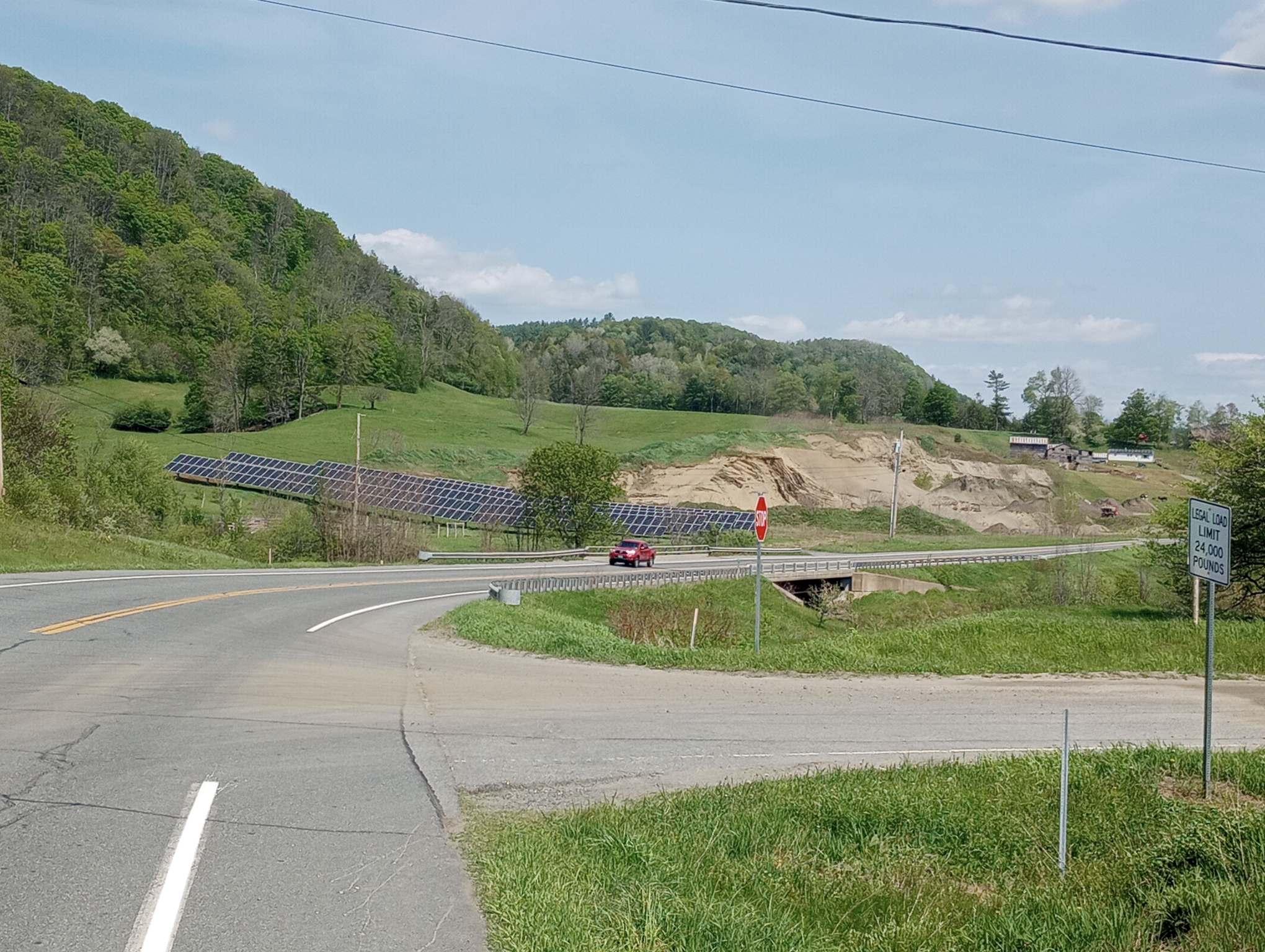
This area had a solar array.
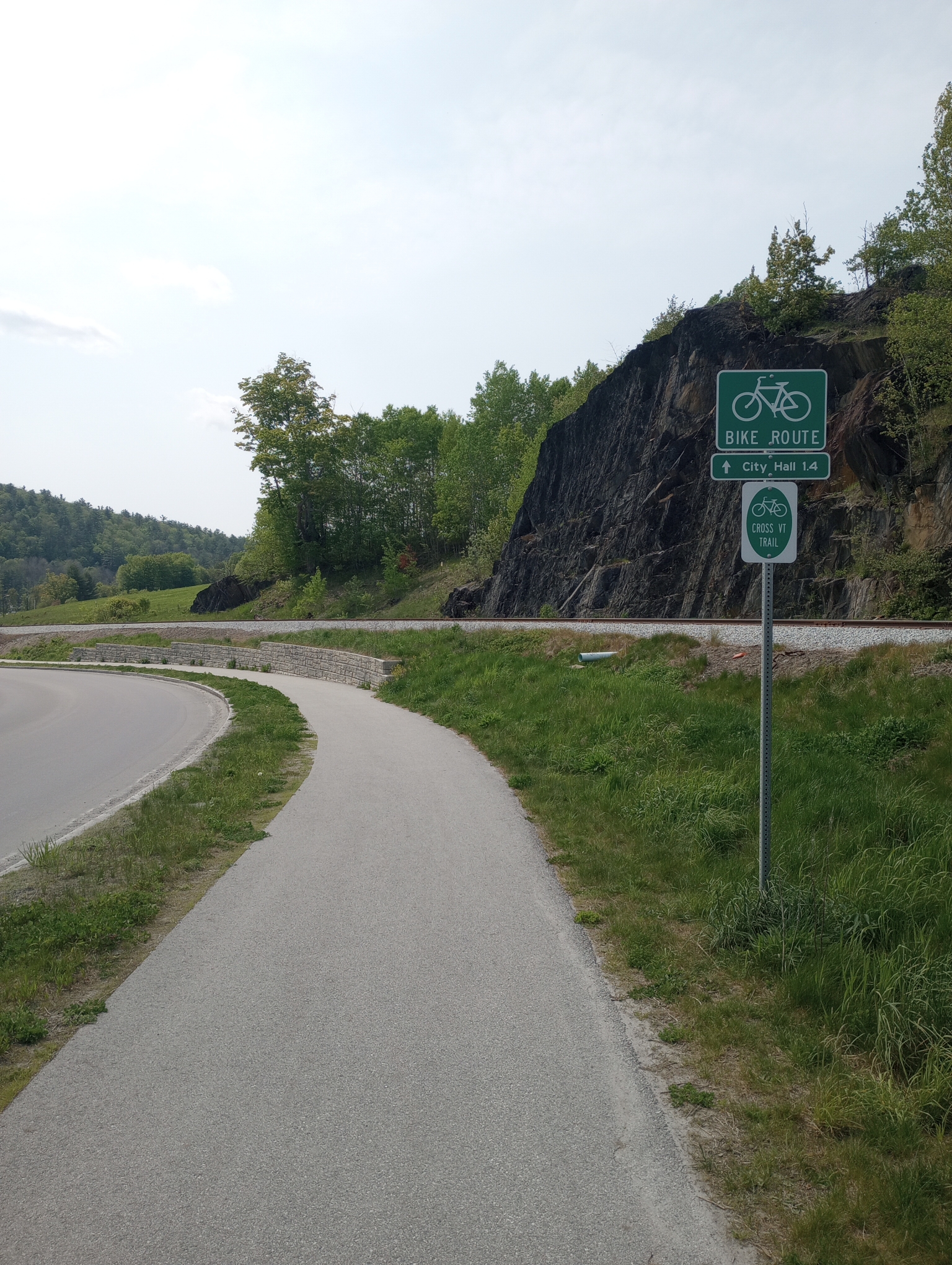
When I got into Barre, it became busy on the road. The last few miles ended up with a bike path.
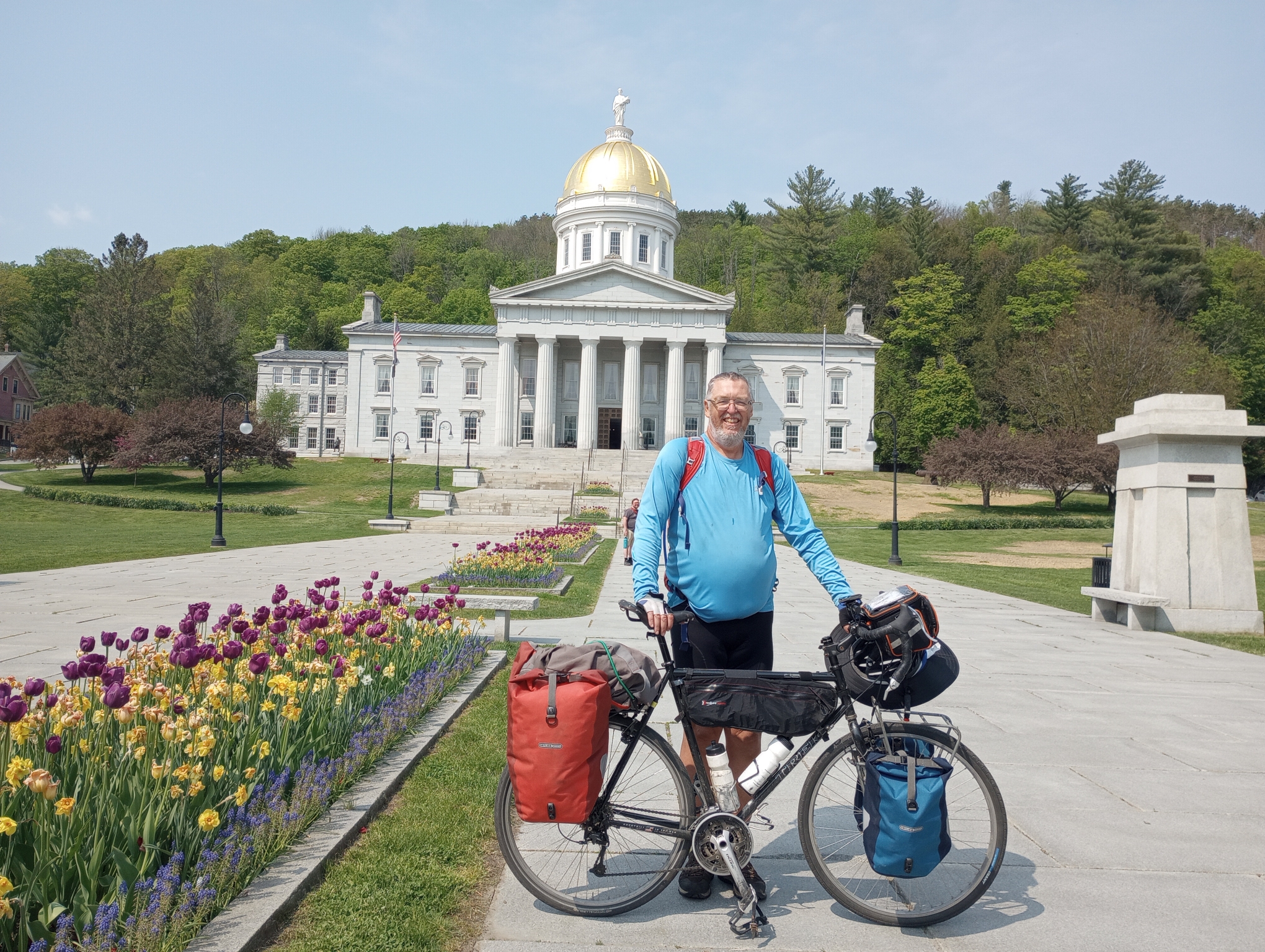
Made it to the State Capitol. Also a motel very close by.
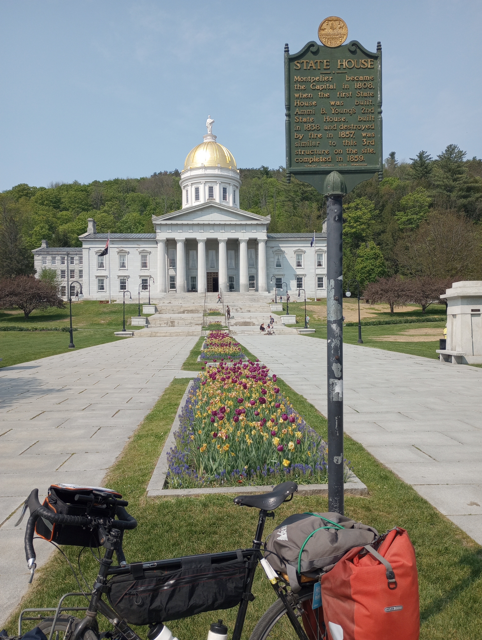
A little more about the capitol.
Strava tells me: 57.60 miles in 6:12:14 for an average speed of 9.3 mph. The climb was 2201 feet (so less than RideWithGPS which seemed to add extra in narrow steep bits and more than Google which seemed to ignore little up/down hills. A total of 4555 calories burned.
WP Strava ERROR 403 Forbidden - See full error by addingdefine( 'WPSTRAVA_DEBUG', true );
to wp-config.php