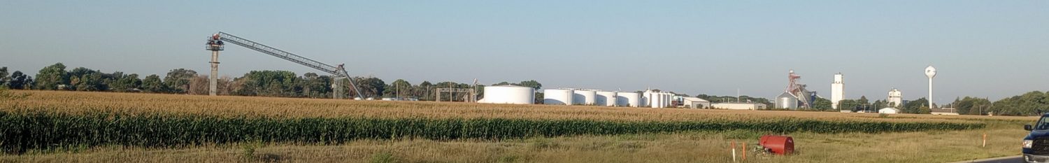
Glens Falls, from the lakes to the locks
The two halves from today’s ride were different. The route map suggested ~1800ft of climb in the first 26 miles and only ~600ft in the last 24 miles. The initial climbs were daunting, though a combination of a tailwind and consistent grades made that part easier than expected. The second half had sections with a lot of traffic and variable shoulders.

Here is the profile that came from Komoot when I asked it to plot a route. Until Whitehall, there was mostly one route choice. NY 22 wound its way up and over a sequence of hills. I was on the road early, expecting a long day.
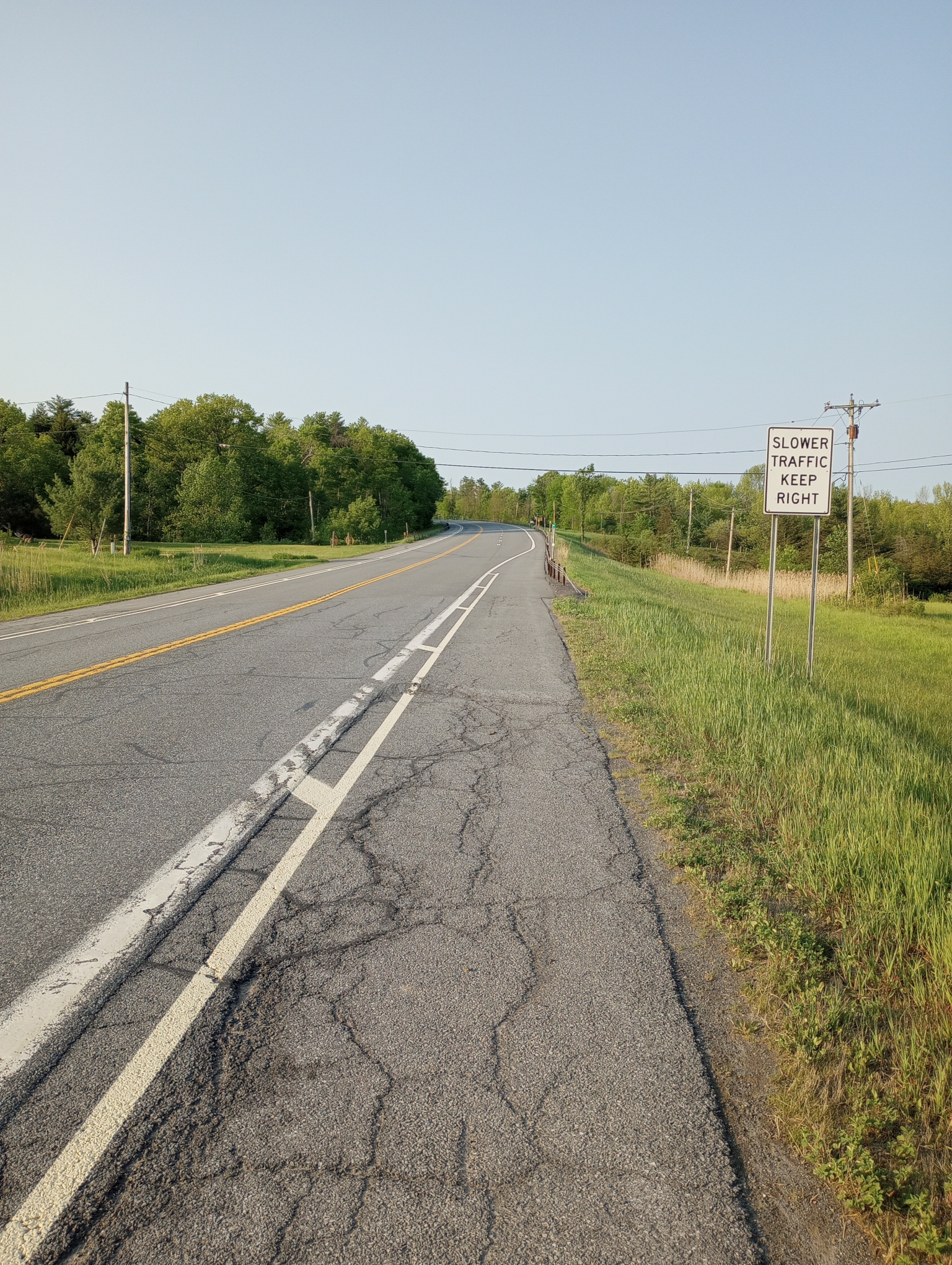
Slower traffic keep right. That would be me.
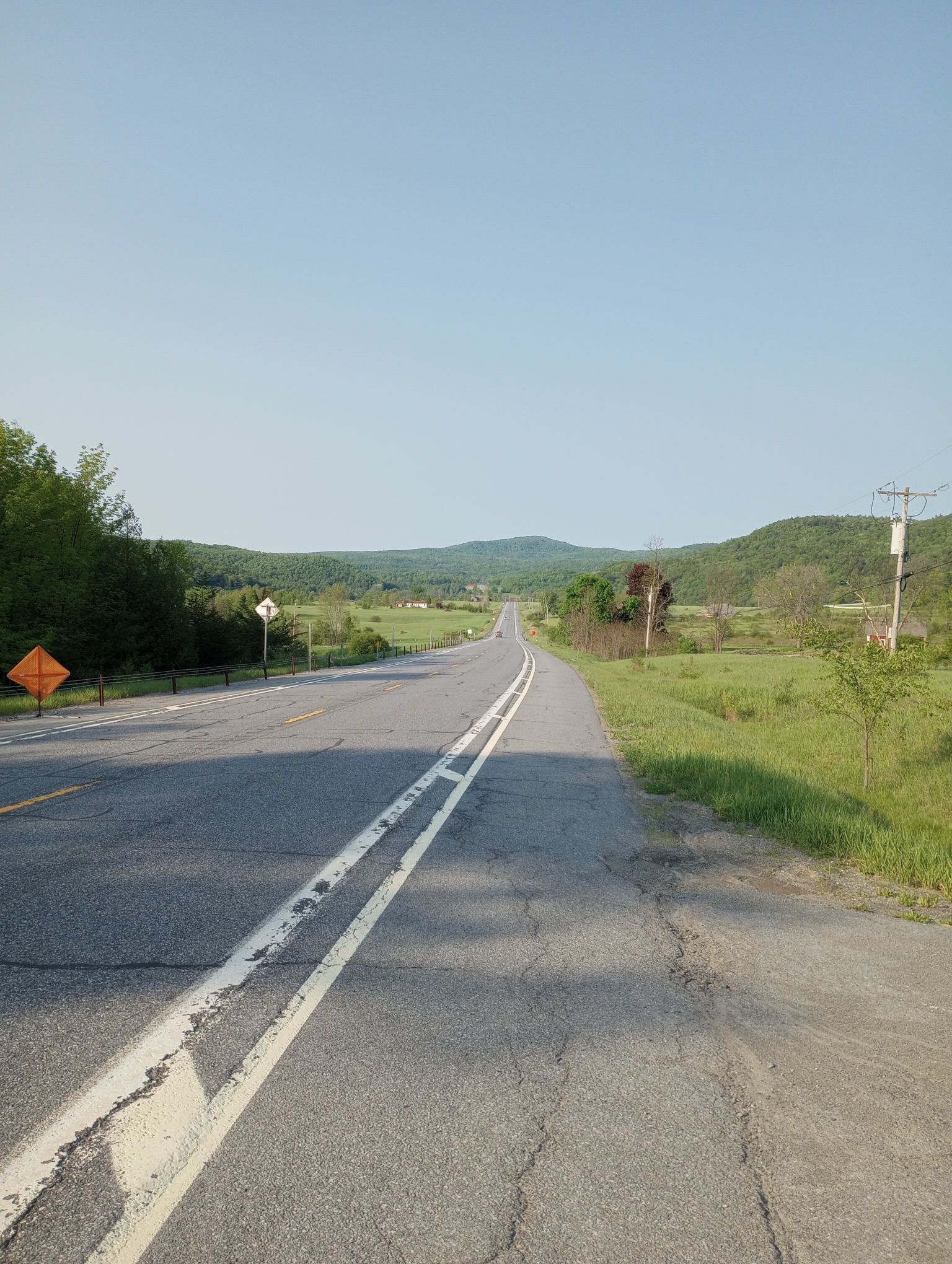
A typical open section between hills.
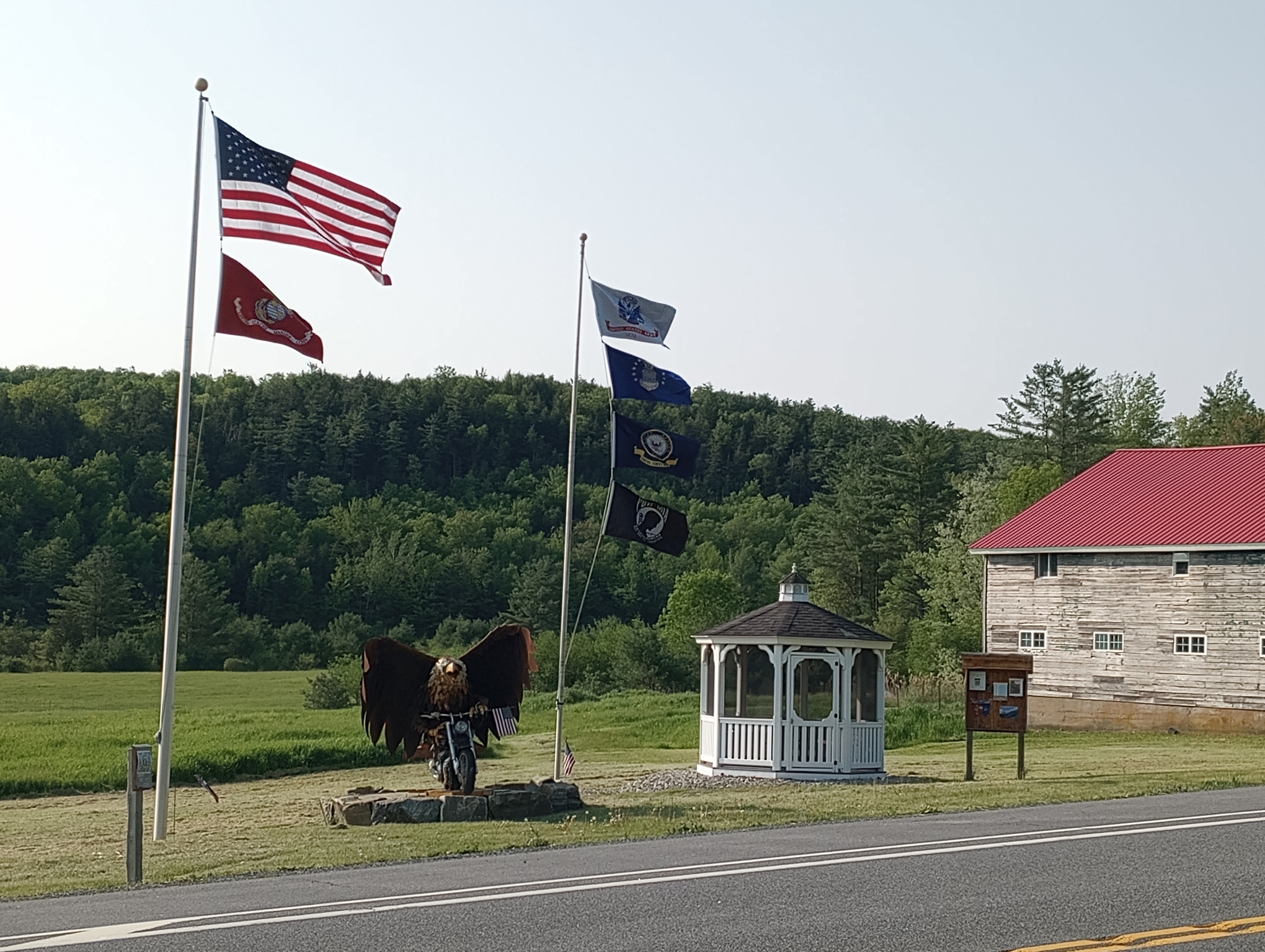
Screaming eagle on a motorcycle. Marine corps, army, navy, air force and POW flags. Some additional information about this memorial: https://dailygazette.com/2017/09/23/marine-air-force-veteran-killed-in-glenville-motorcycle-crash-remembered/
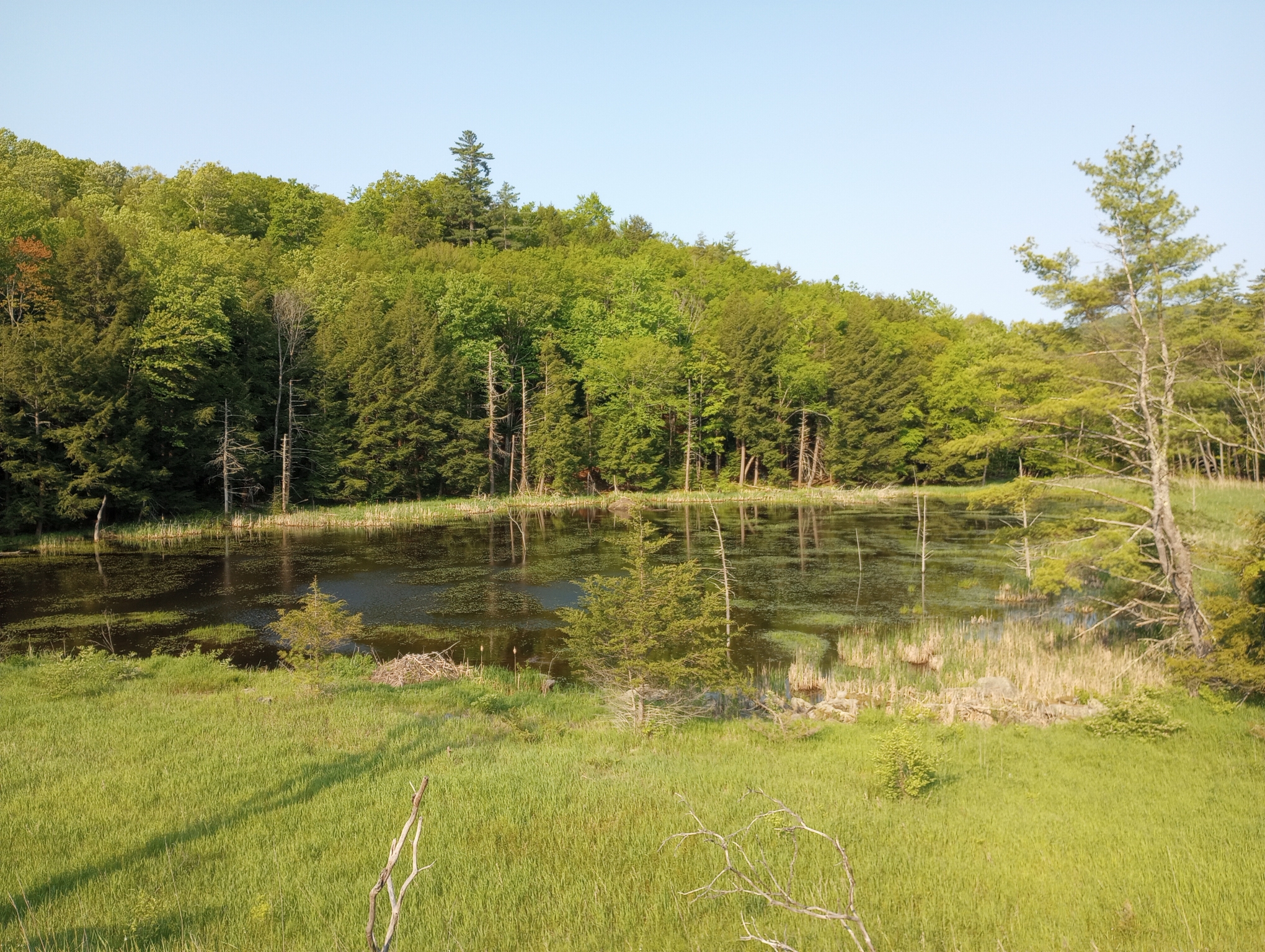
A peaceful quiet pond.
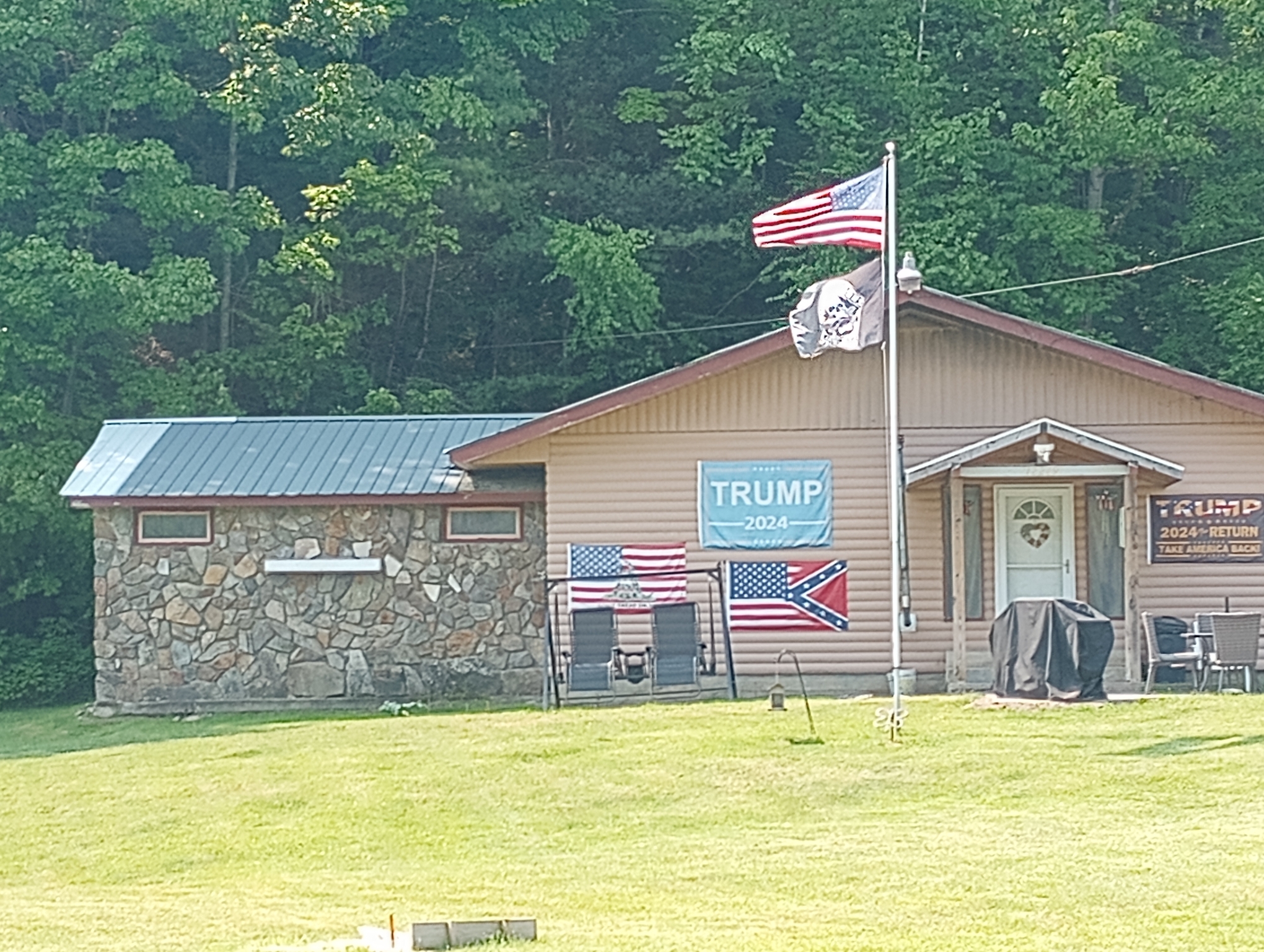
Ready for Trump in 2024. One thing confuses me though: the “don’t tread on me” flag makes sense as this area has many revolutionary war signs and memories. The confederate flag however seems out of place as this was staunchly union territory during the civil war and the confederacy lost.
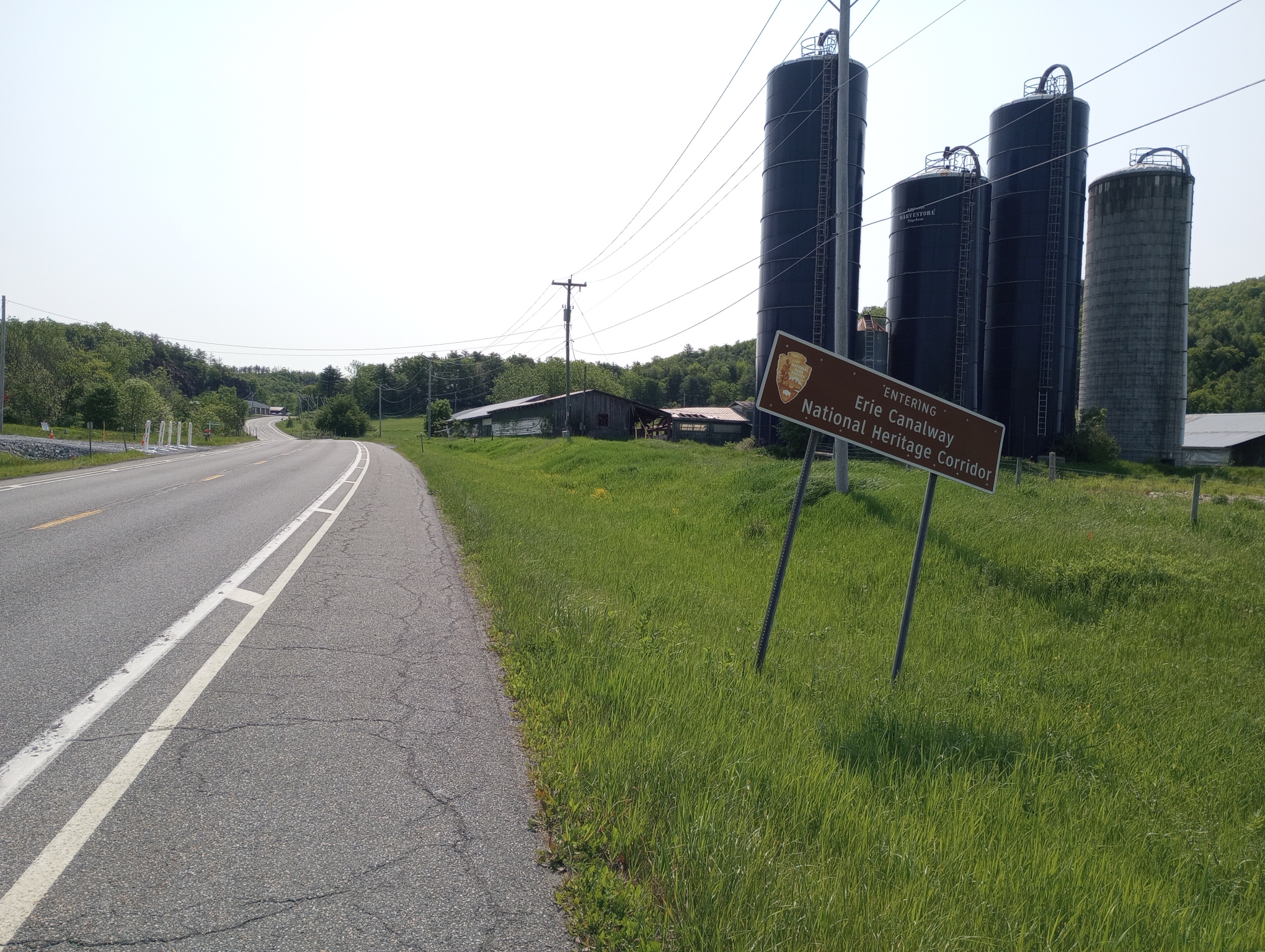
One last hill before reaching the Erie Canalway area.
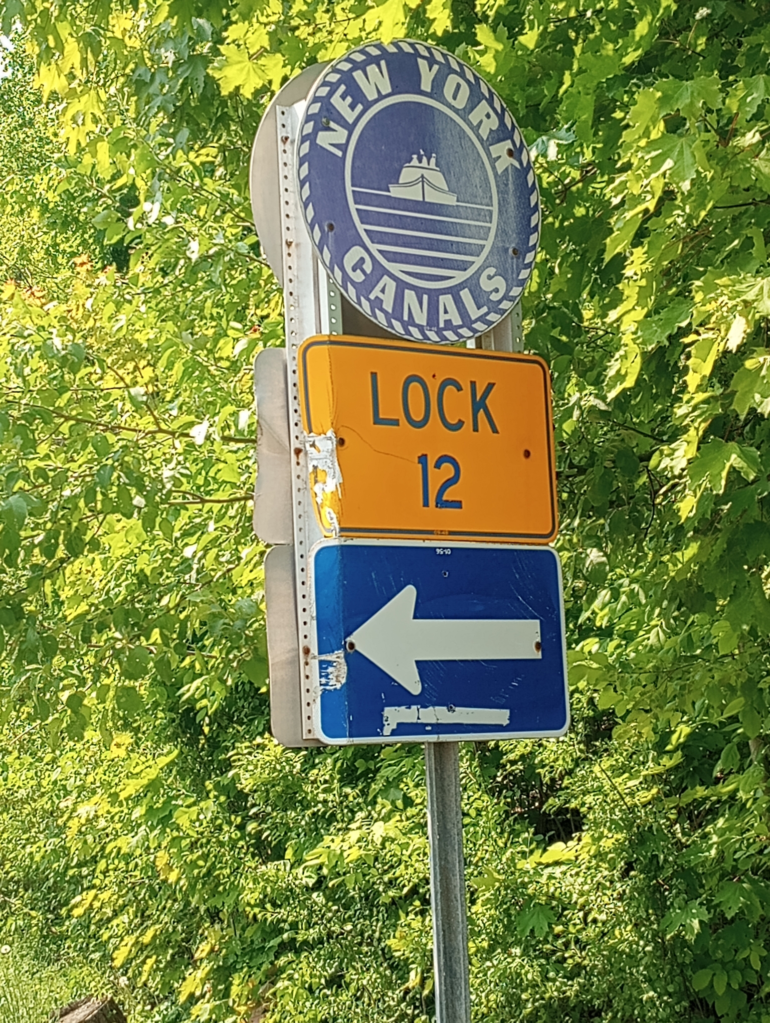
This picture in Whitehall. From here south, parallels the Champlain canal system with locks. The first 10 miles until Fort Ann had busy traffic including large trucks. This seems to be a corridor between Interstate 87 in New York across to US 7 to Rutland and Burlington Vermont. About half this distance had a nice wide shoulder but the rest requires careful riding.
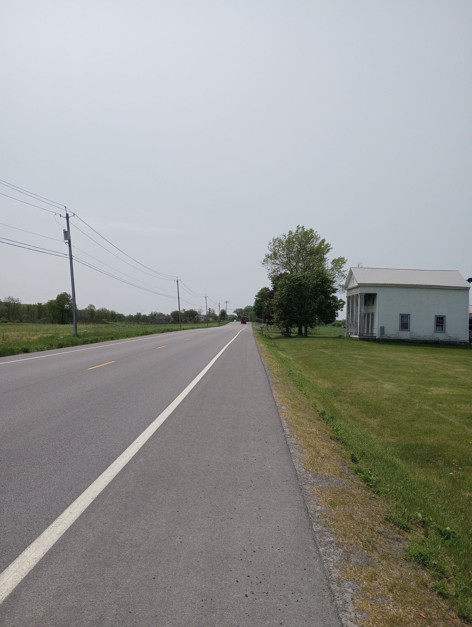
Nice to have quiet and smooth roads again.
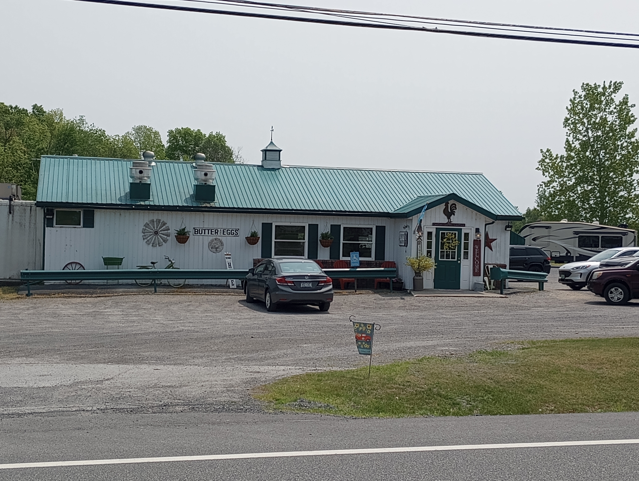
Sally’s Hen House was a nice country diner and lunch stop. I came in as the only guest but it was mostly full when I finished.
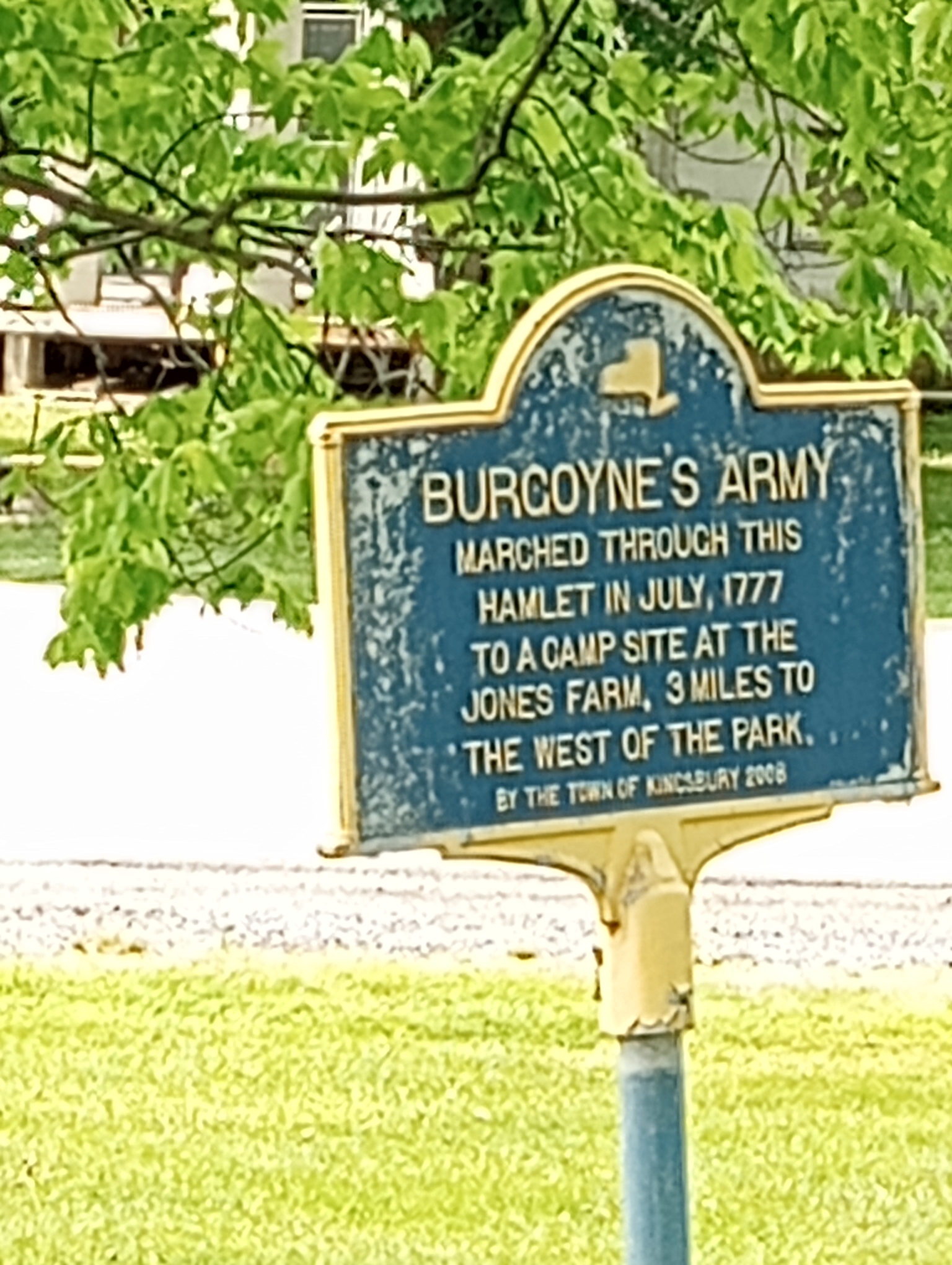
One of the signs along the way. There were many signs for different revolutionary war events.
Overall, today turned out not as difficult as expected. Getting the climbs done early was nice and smooth roads and a tail wind helped. After that it became flatter with heavy traffic for a while.
Strava tells me: 50.13 miles in 5:56:28 for a speed of 8.4 mph. I climbed 2549 feet and burned 4218 calories.
WP Strava ERROR 403 Forbidden - See full error by addingdefine( 'WPSTRAVA_DEBUG', true );
to wp-config.php