Greenfield, the Old National Road
Today I mostly followed a large highway with very little traffic. The route is part of the National Road – https://en.m.wikipedia.org/wiki/National_Road, the first major improved highway built by the US Government. It is known as US 40 and was mostly four lanes. There were also five different construction zones including one closure and two spots where wide loads were restricted to fit in a 10ft road.
The reason this part of US 40 has no traffic is that it runs a few miles south and parallel to Interstate 70 which gets all the traffic. I crossed eleven very small towns but with the exception of Richmond, they didn’t really have much business. So it is normally just easier for all the traffic to be on I-70
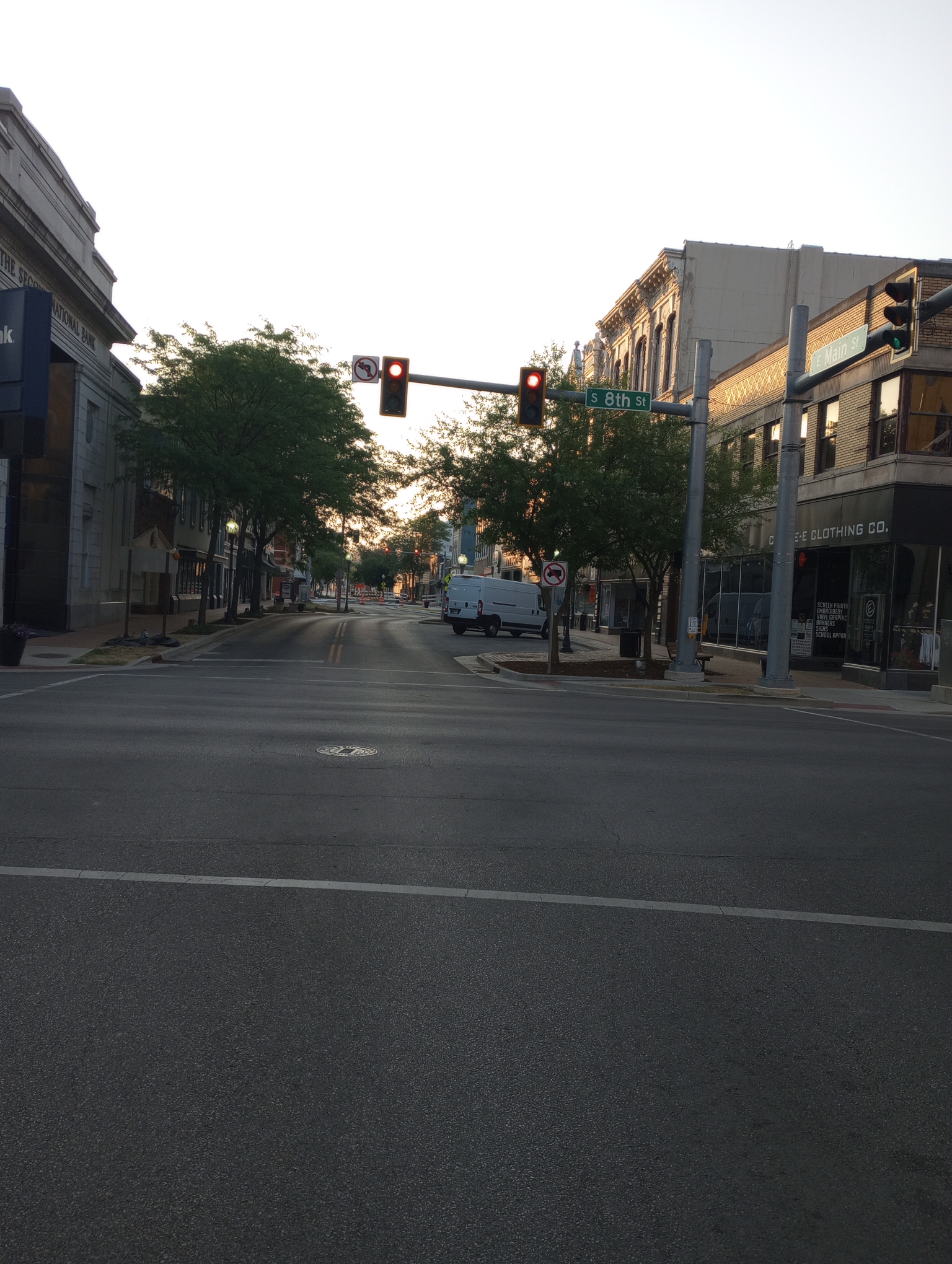
I started a little later this morning and was on the National Road from the start. The first seven miles through Richmond were quiet as it was early.
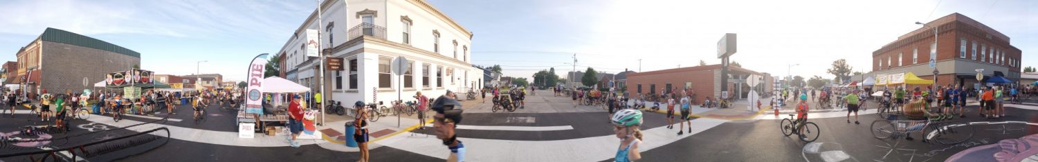
Downtown Richmond.
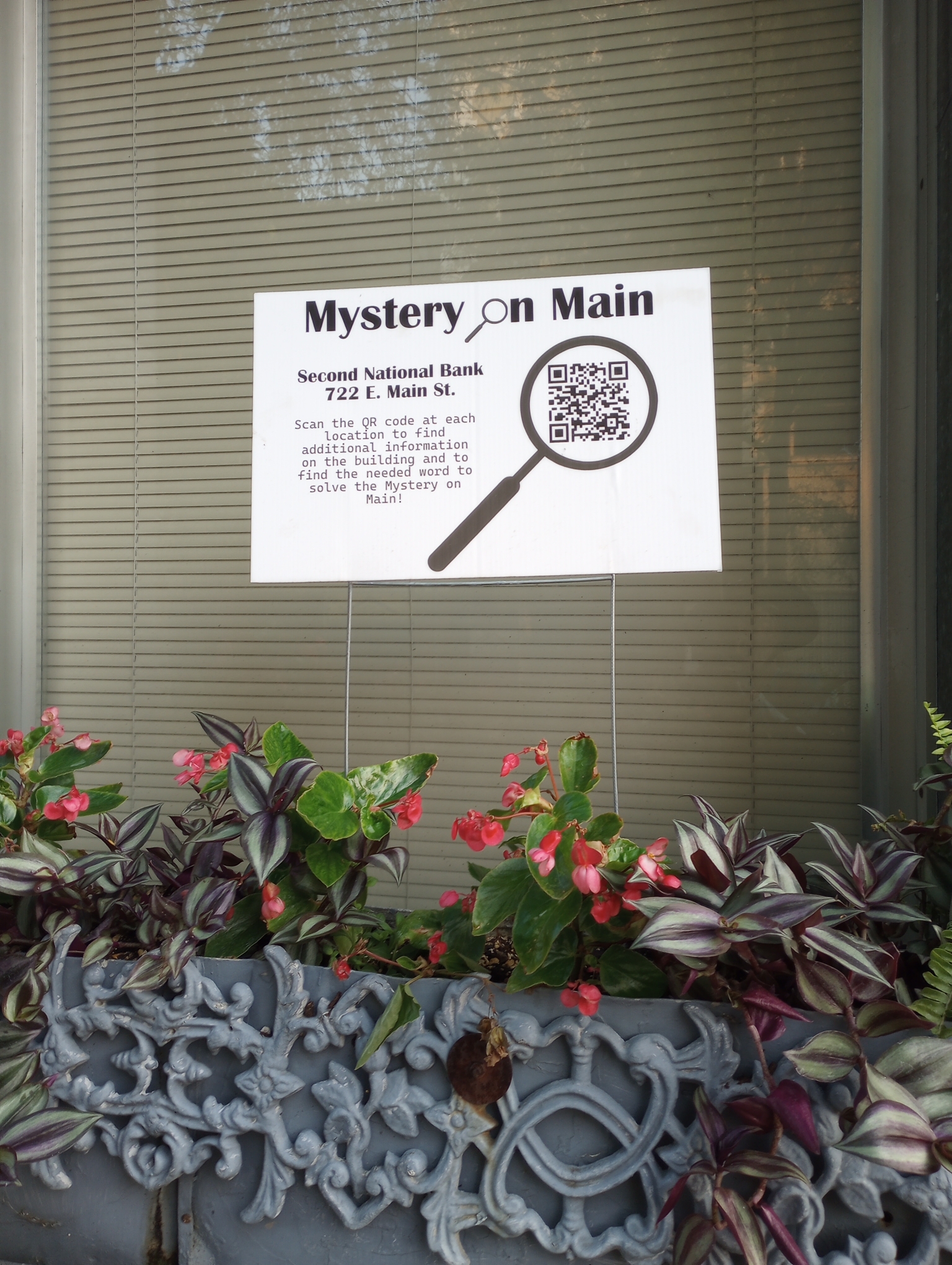
Somebody was doing a game with QR codes and posters.
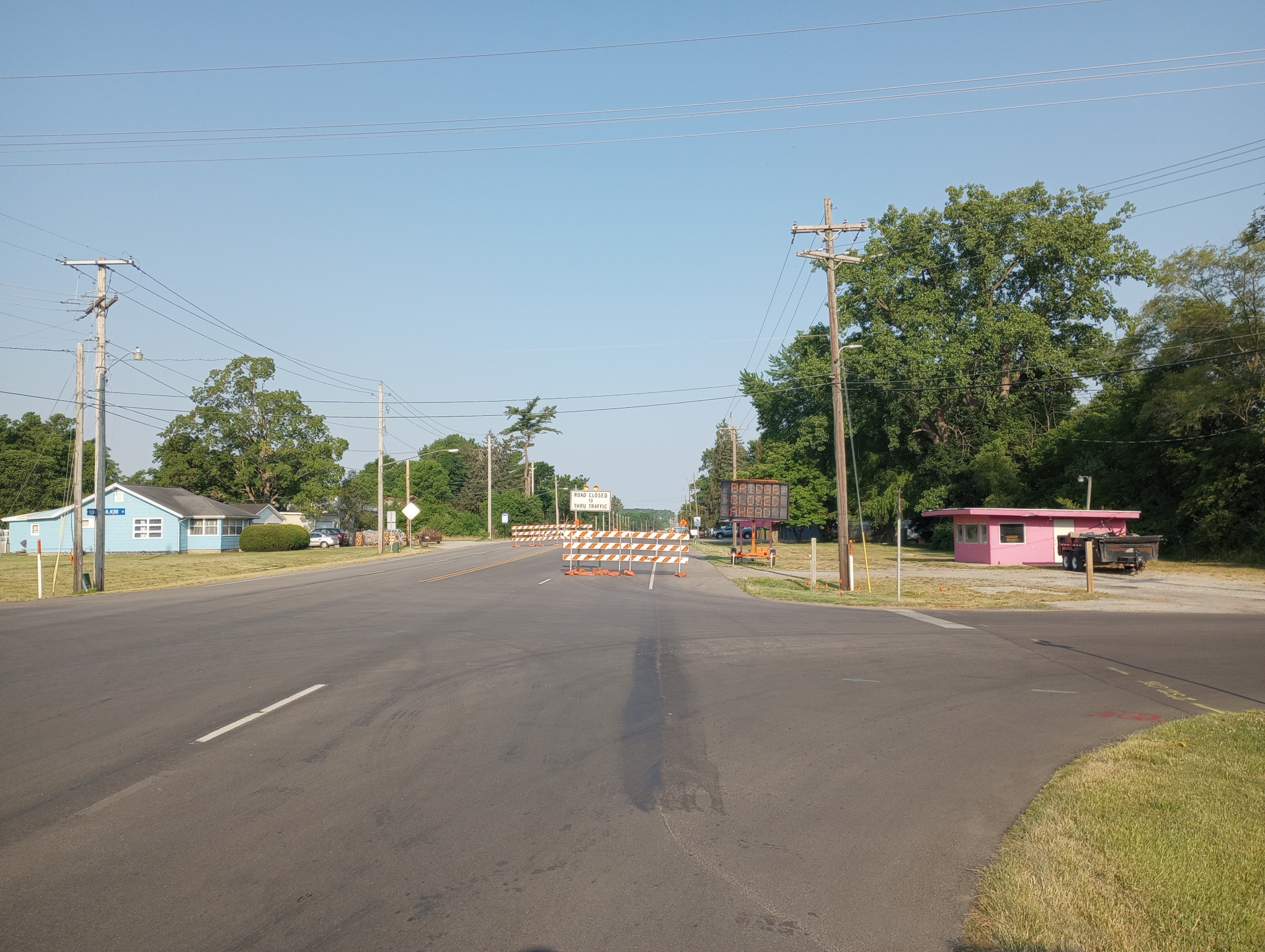
Centerville had my first closure. It said the bridge was out and didn’t have detour signs. Just as I got my phone to see a map, a nearby driver told me I could get through. I returned the favor on the other side to a motorist who had the same dilemma.
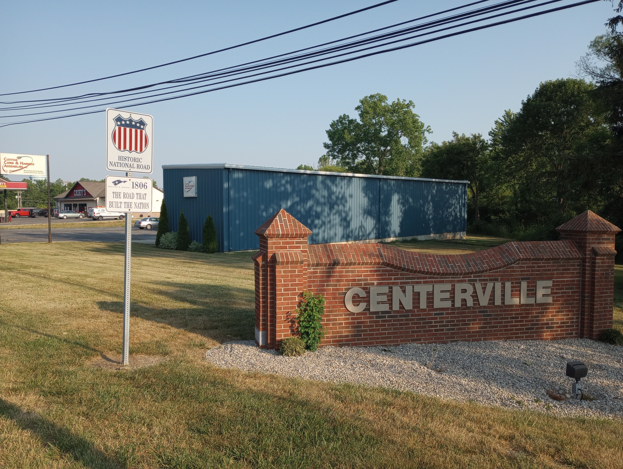
Centerville with the National Road sign.
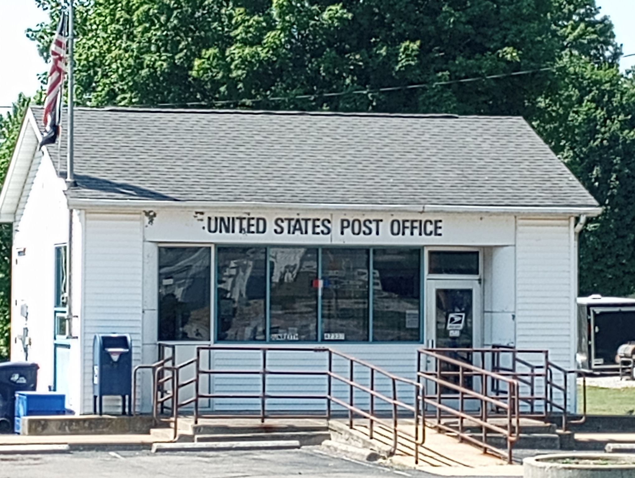
These towns do not need a large post office, nor does it need to be open all days of the week.
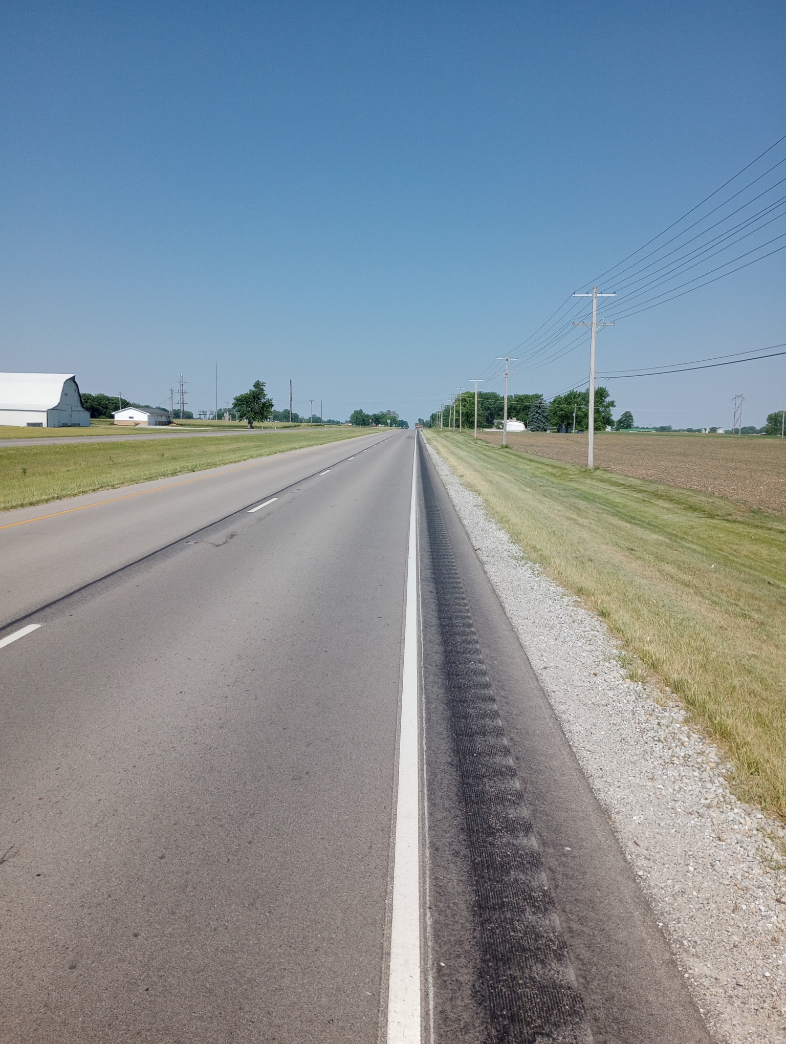
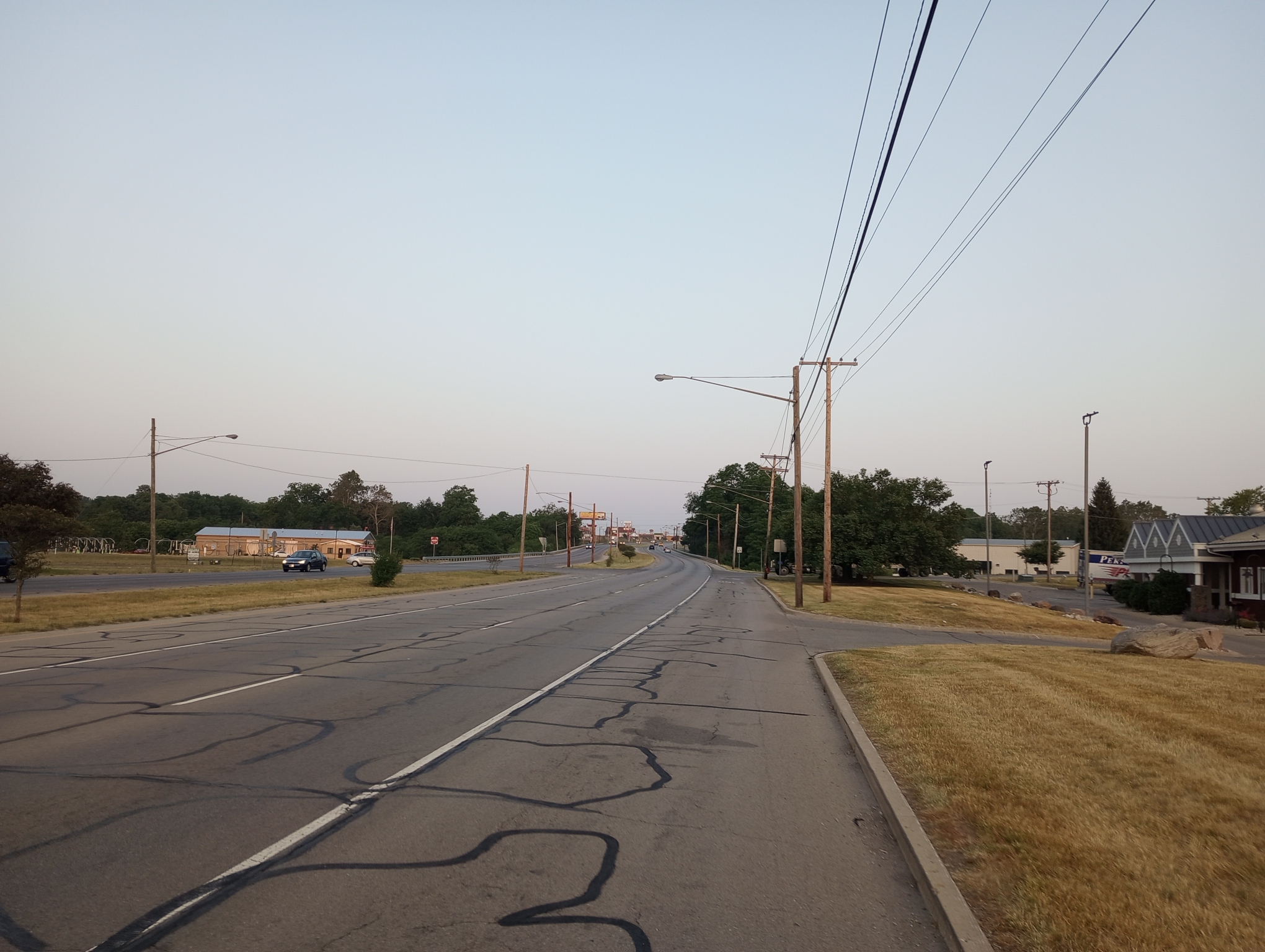
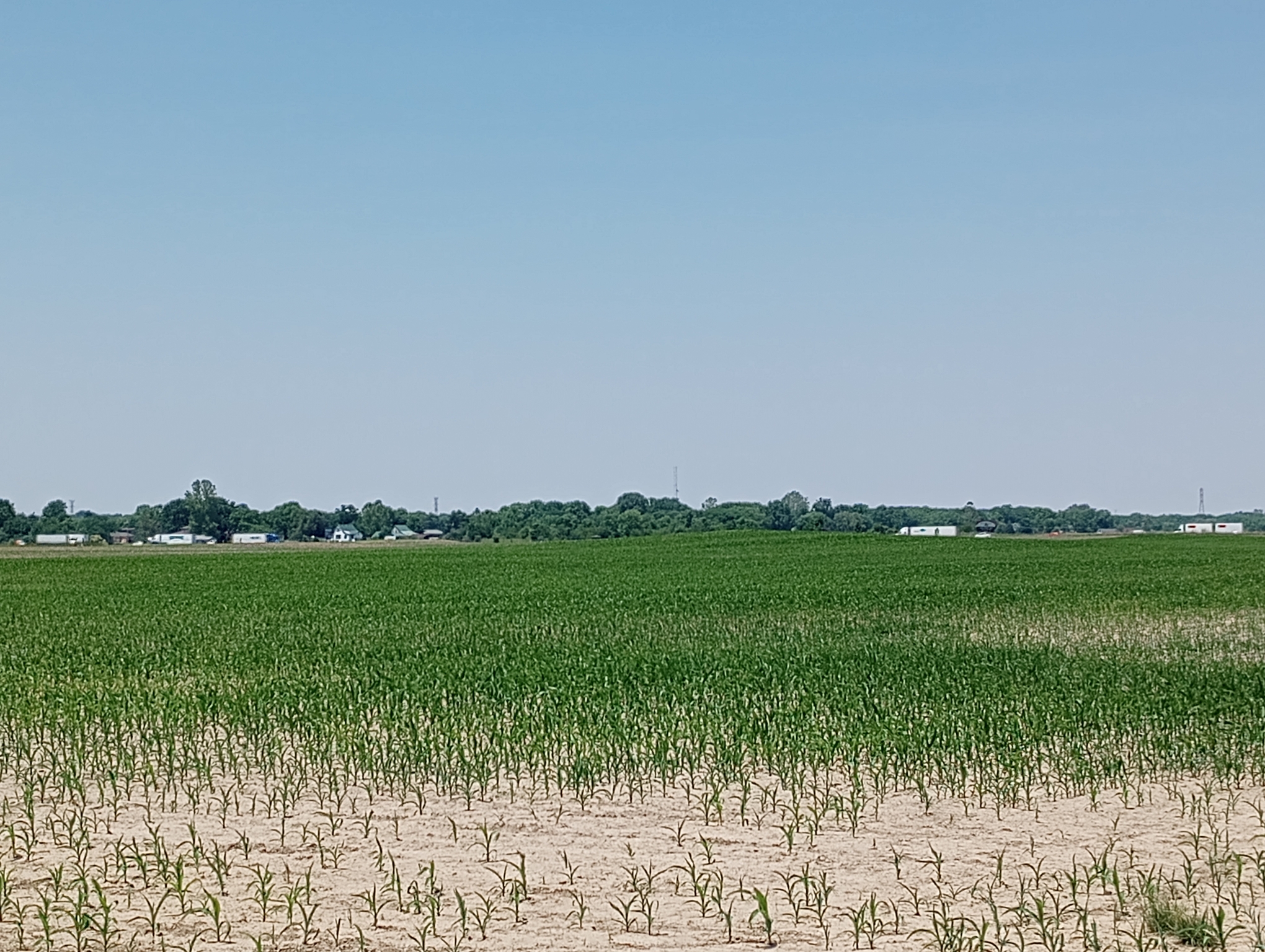
A good example of much of the route. Two lanes each direction, a small shoulder with rumble strip, no traffic and wide spaces between very small hamlets. Without traffic, it is very easy to cycle with an occasional check of the mirror to make sure cars move over.
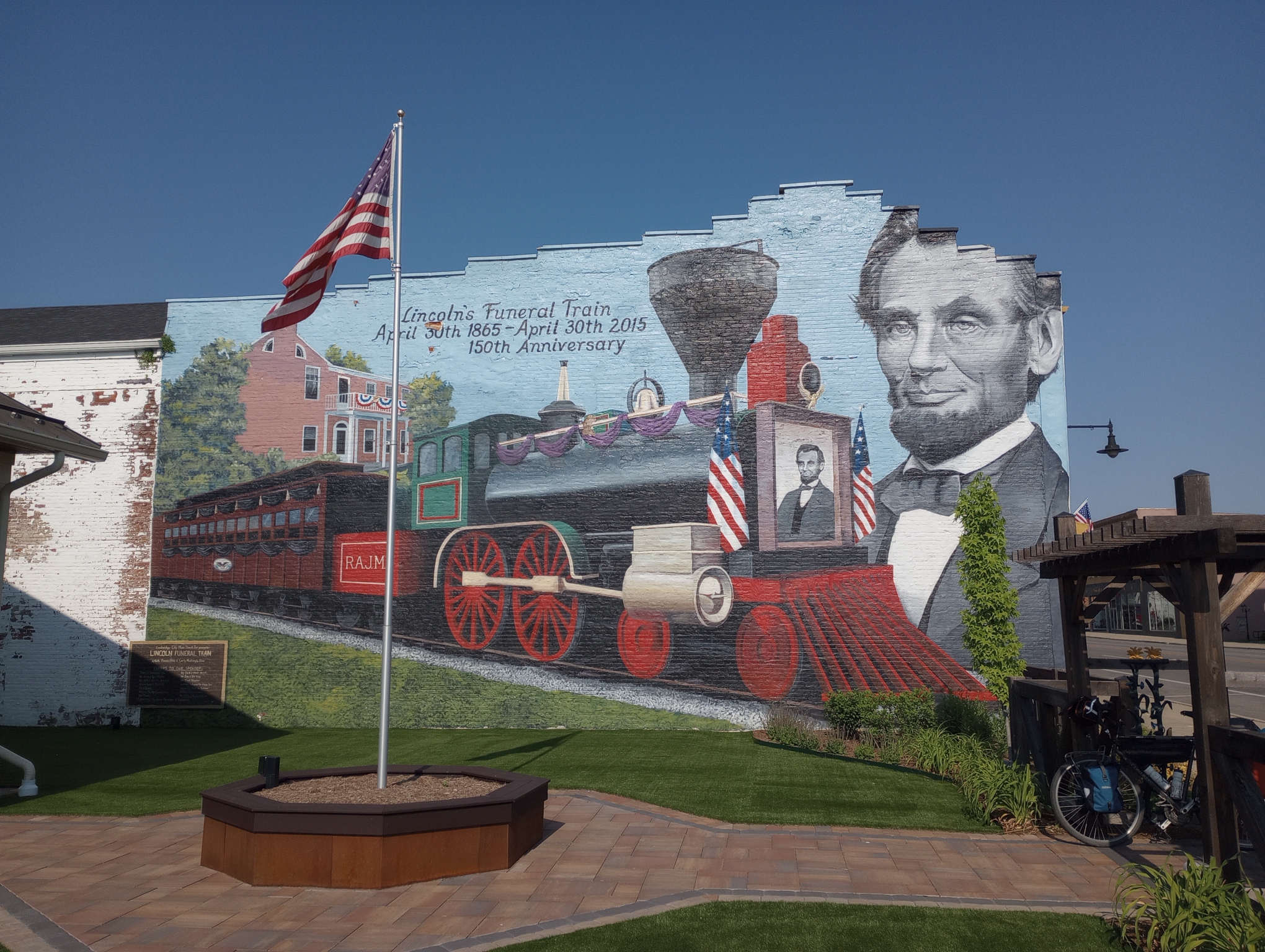
Cambridge City had a giant mural of the Lincoln Funeral Train. There wasn’t any other sign explaining things but apparently the funeral train was a larger event than I realized – https://www.history.com/news/abraham-lincoln-funeral-train Cambridge City was one of the stops https://www.visitindiana.com/blog/post/cambridge-city-marks-anniversary-of-abraham-lincolns-death/
Both Straughn and Lewisville had their downtown road being repaved and traffic down to narrow lane and in Straughn a flagger alternating directions.
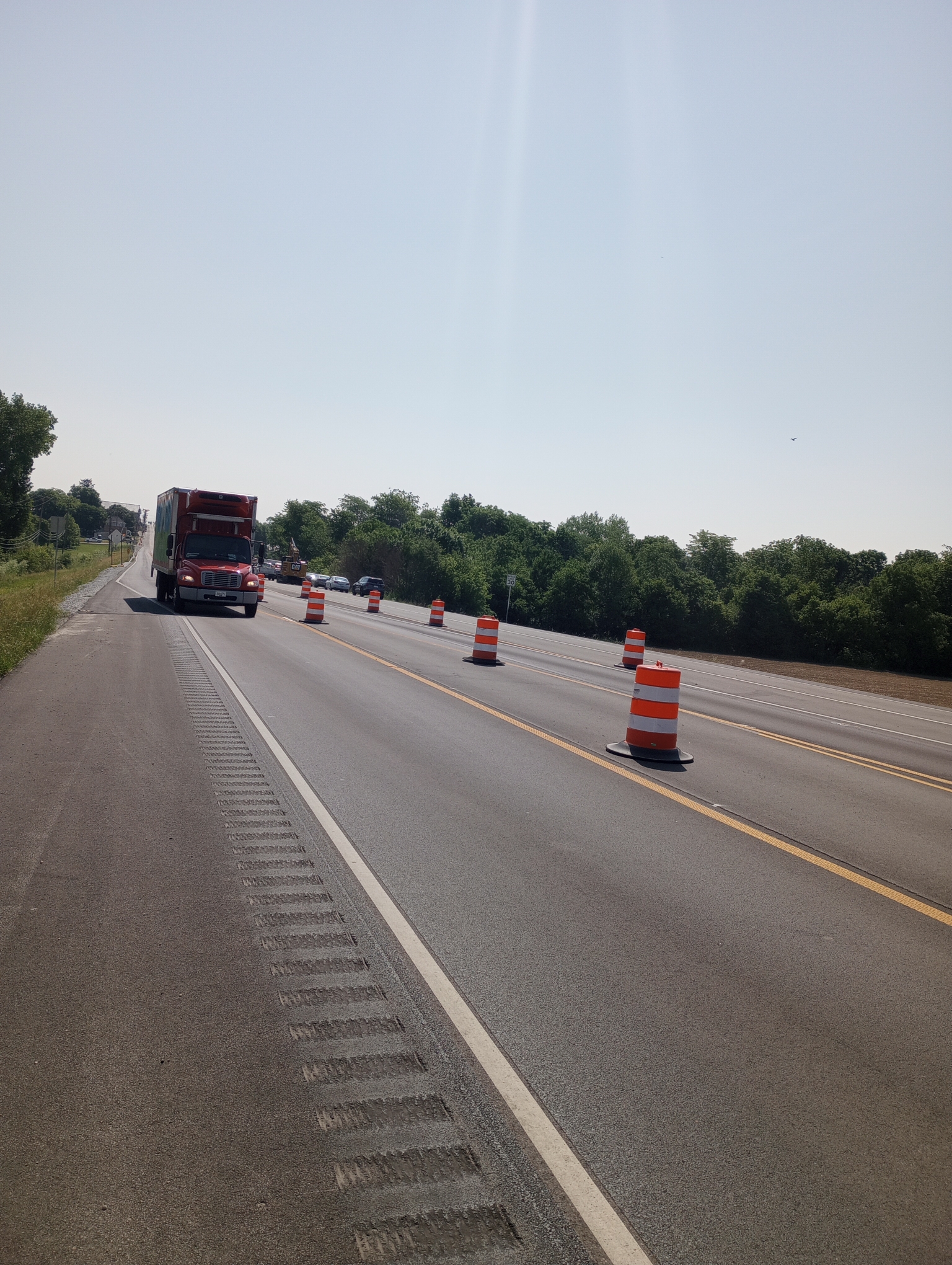
I stopped for lunch in Knightstown before riding the last 15 miles to Greenfield. I turned off the National Road onto an even smaller road. I was really surprised by how many cars were on this country road and why? As I got close to I-70 I got an idea – that parade of trucks was inching along very slowly. Something like Google Maps must be directing drivers off the interstate and onto small roads.
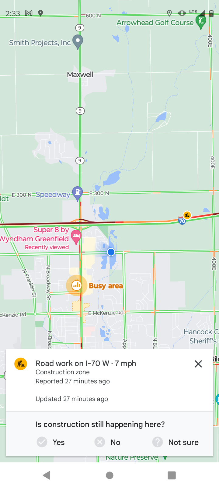
Looking at traffic on my phone it told me a construction zone was slowing things to 7 miles per hour. So those cars were getting off to wait to pass me going 10 miles per hour. Fortunately very busy but patient drivers waiting until the other direction was free before passing.
Greenfield was a good spot to stop and plan my route into the large metropolitan Indianapolis area. Otherwise a surprisingly quiet ride on large but low traffic roads.
My GPS was confused today so I tried restarting if that would help, so two Strava rides (here and here) totalling 52.86 miles in 5:31:59. The longer at 9.7 miles/hour. A total of 1142 feet climbed and 3368 calories burned.
WP Strava ERROR 403 Forbidden - See full error by addingdefine( 'WPSTRAVA_DEBUG', true );
to wp-config.php
WP Strava ERROR 403 Forbidden - See full error by addingdefine( 'WPSTRAVA_DEBUG', true );
to wp-config.php