Decatur, back in the saddle

Today is the first ride in two weeks after taking a break. The bicycle was newly tuned and rode well. The ride today to Decatur was almost entirely on rural roads and mostly riding square lines. Corn was the predominant crop with soybeans and wheat as secondary crops. I didn’t see much evidence of farm animals such as cows or pigs being raised commercially.
Above is my updated “cockpit” with my GPS in the middle and a backup GPS on the right. The right GPS shows a map and the middle has the directions and general statistics. Overkill for this area where directions are very simple. What I am trying on the left is a speaker so I can try catching up with podcasts. Normally, I am not inclined to put extra noise/music on if it interferes with watching traffic or disturbs others. This is not much of the case here. For example, all day I saw one other cyclist. One stretch was 9.4 miles in a straight line where a total of two cars passed me in an hour. I saw both with my mirror and the podcast didn’t change much.

Here is the picture starting within half a mile of the motel. I had picked one on the edge of town so one last housing development and I was in the countryside. It was very flat today with just a few short micro-hills. I recorded several at 5% grade but they were short. Winds were from the NW at around 10mph so a light cross-wind/head-wind much of the time but still light overall.

These roads are narrow. This was a typical view starting out. A farm on the side and otherwise fields. Some of the corn is 4′ or slightly taller.

At 15 miles, I reached Monticello. There was a one mile paved path and then a grid of streets. I stopped here for a second breakfast and a short break. After Monticello, it became rural quickly and went past a farm/retreat donated to the University of Illinois.

There was a short stretch with trees on both sides. A welcome break from wind and sun. By late morning, it was getting warmer and a little humid.

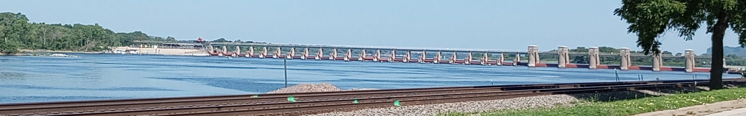
Typical intersection at the junction of 1275N and 350E. Perhaps 60% of the roads have numbers and the rest have names. My route roughly was parallel to Interstate 72 and this meant I stopped at a truck stop for lunch before cycling the last three miles to Decatur. Nice to be back on the road again. I expect one day heading west to Springfield where the plan is to turn NNE towards Chicago.
WP Strava ERROR 403 Forbidden - See full error by addingdefine( 'WPSTRAVA_DEBUG', true );
to wp-config.php
I have the same speaker. Nice that you are including the maps and stats.