White River Junction, confluence of rivers
It was cosy in the cabin last night. Overnight low was reported at 24F about 20F colder than average low temperatures. I waited until 9am to start when it had already warmed up nicely. There was still a wind from the west but that got less over time.
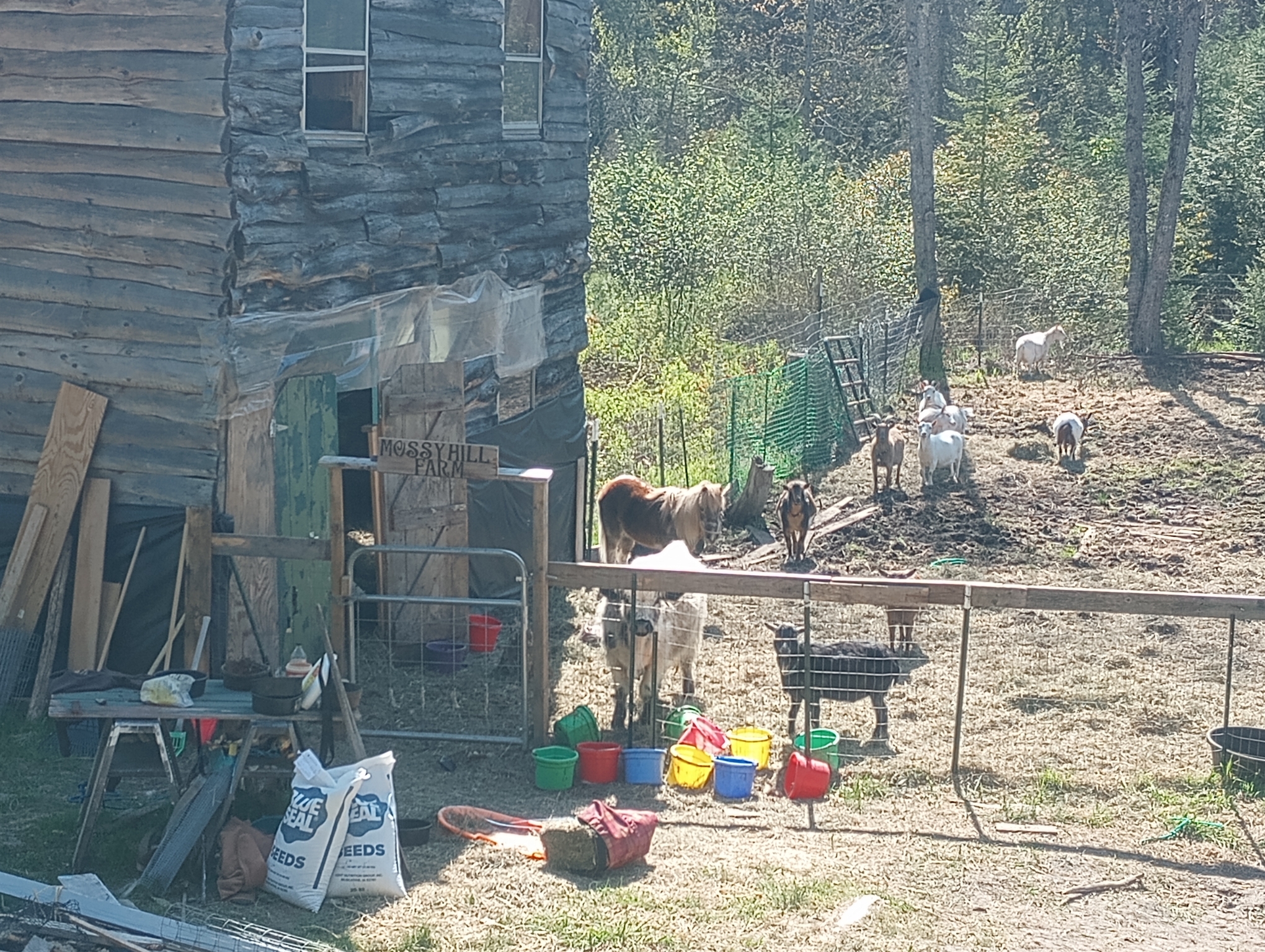
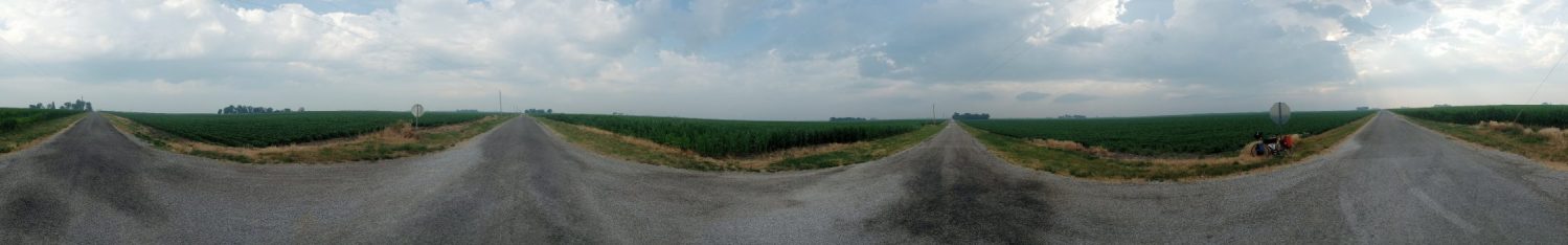
I started out cycling on the road. These farm animals all seemed curious on the contraption passing. I’ve also had dogs running but so far they stay away from the road.
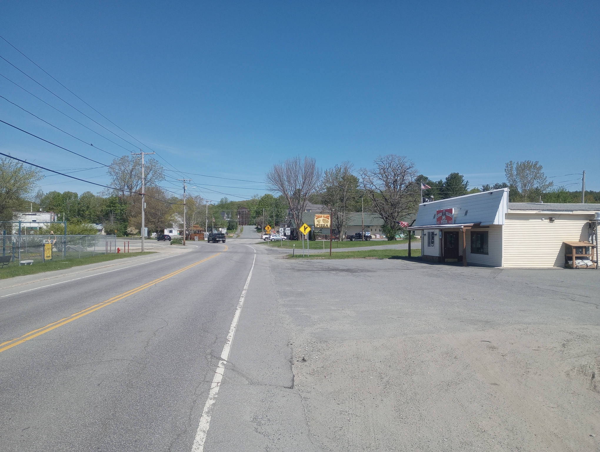
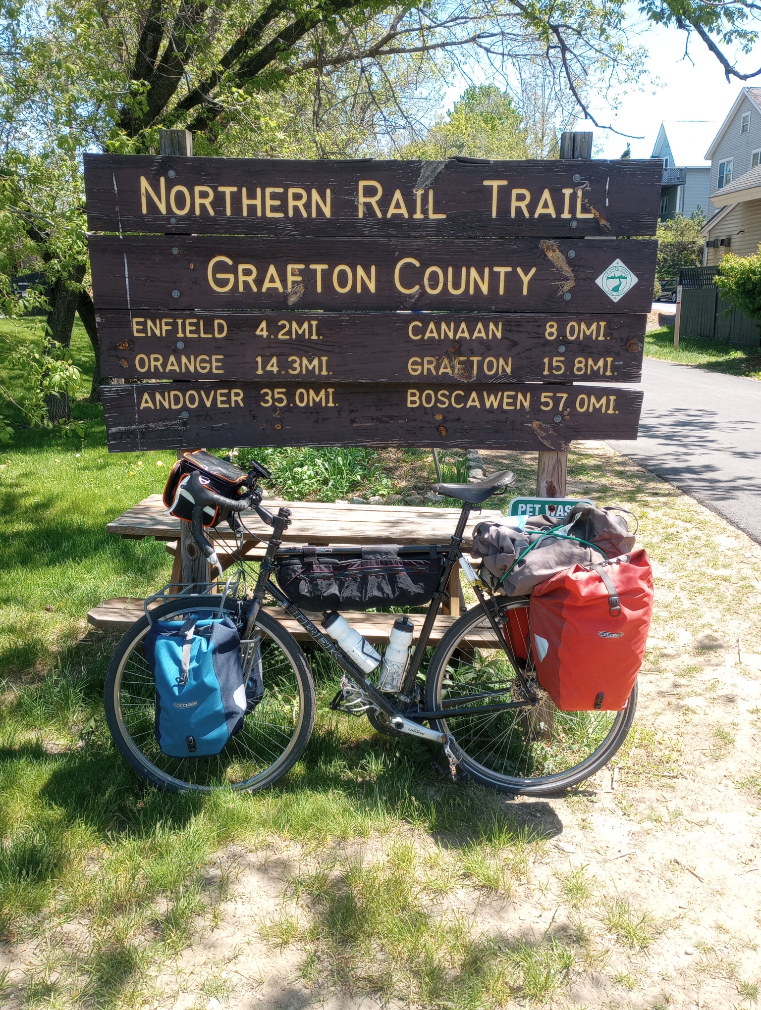
At seven miles was the small hamlet of Canaan. It had a hardware store, pizza place, convenience store, a few churches, a post office and not much else. I stopped in at the convenience store for a late breakfast.
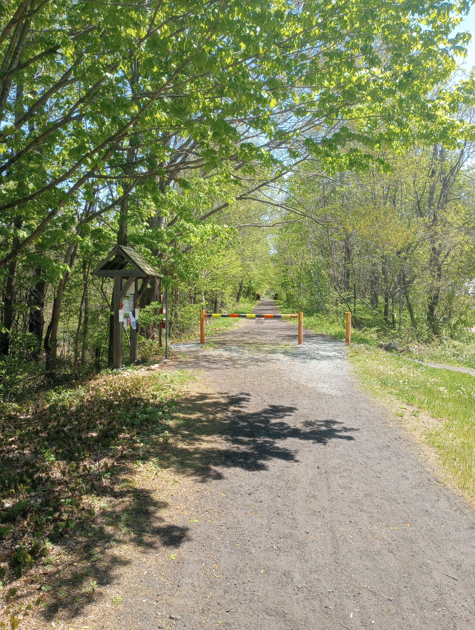
A little later I decided to try the trail again. This part is rougher than the first 30 miles yesterday but not too bad. As a bonus, the last bits into Lebanon were a slight 1-2% downhill grade.
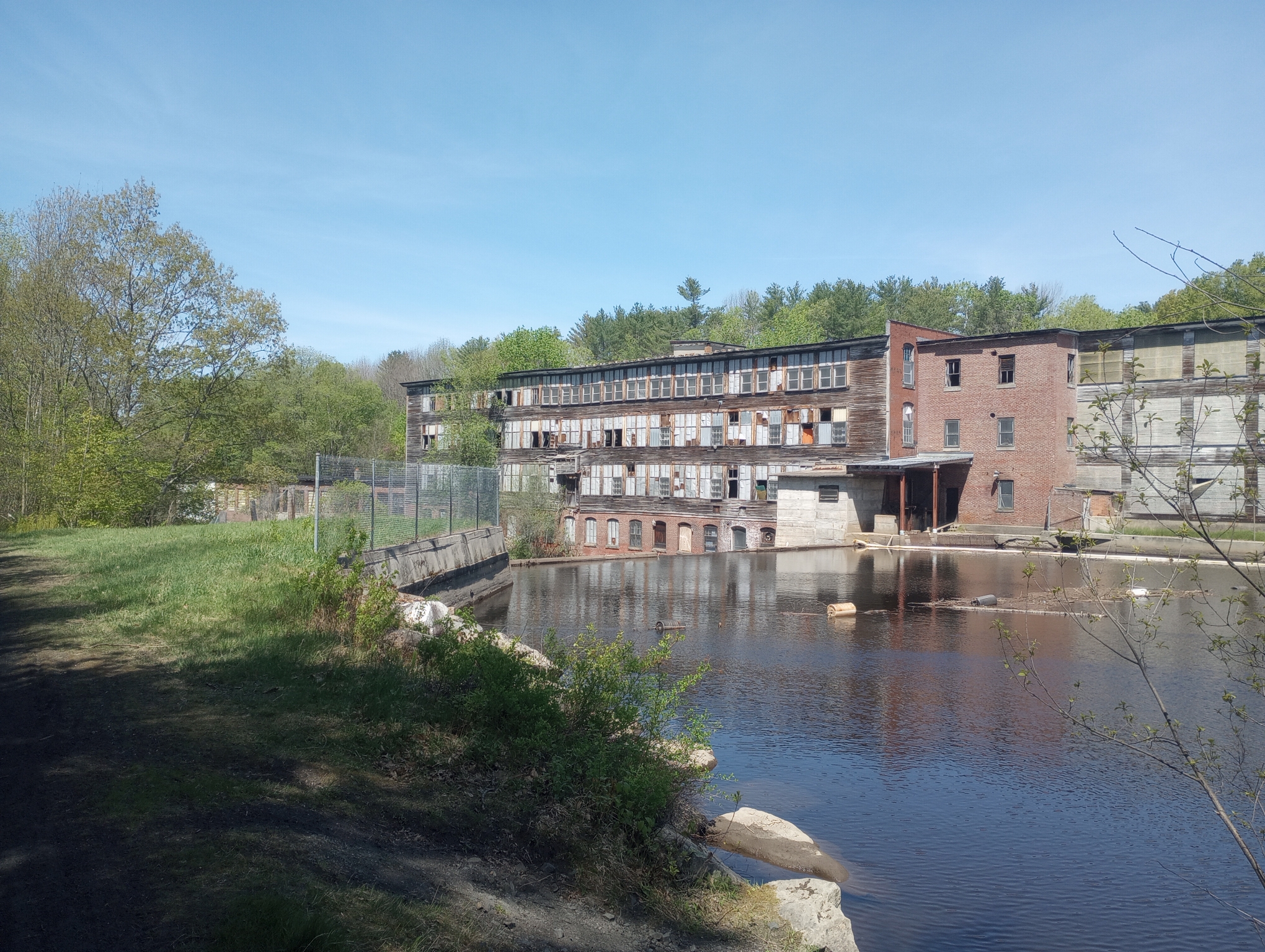
This looked like an old mill.
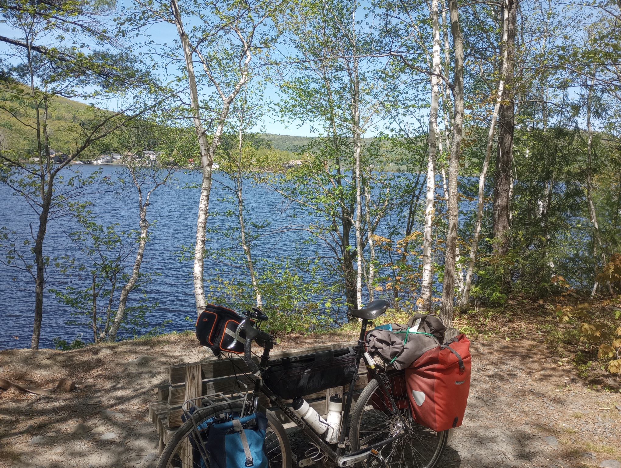
Some of these spots along the lake were pretty. A nice bench for leaning the bike and sitting.
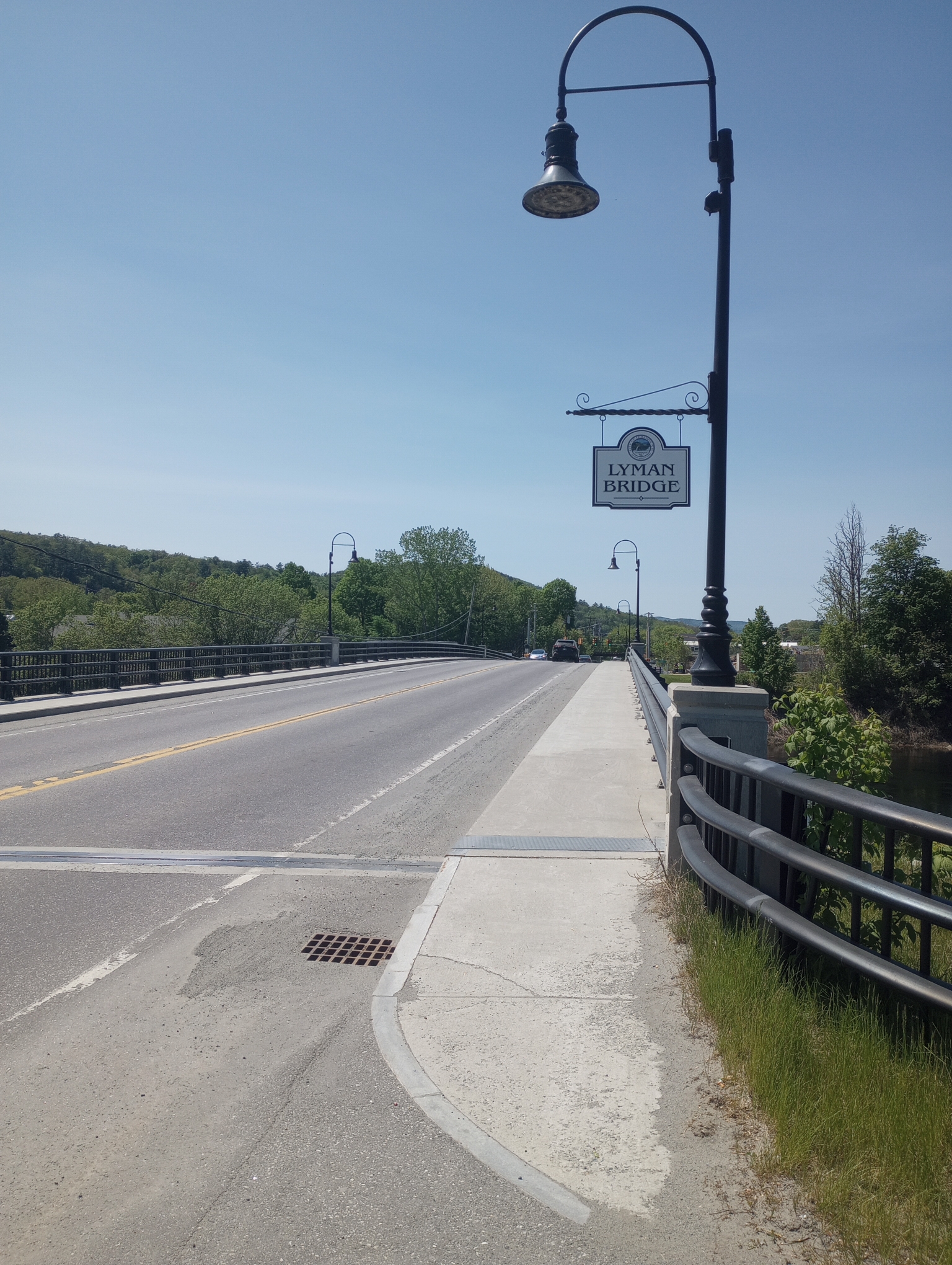
The trail ended in the middle of Lebanon. The last mile was even paved. From here a mixture of trail and road brought me to West Lebanon and a stop for lunch. It was busy in this area with an Interstate carrying most of the traffic. The photo above is a smaller bridge over the Connecticut River and the other side is Vermont. I crossed two bridges with the second being the White River. The Connecticut forms the boundary between New Hampshire and Vermont. The White is the river I will start following uphill on my way to Montpelier.
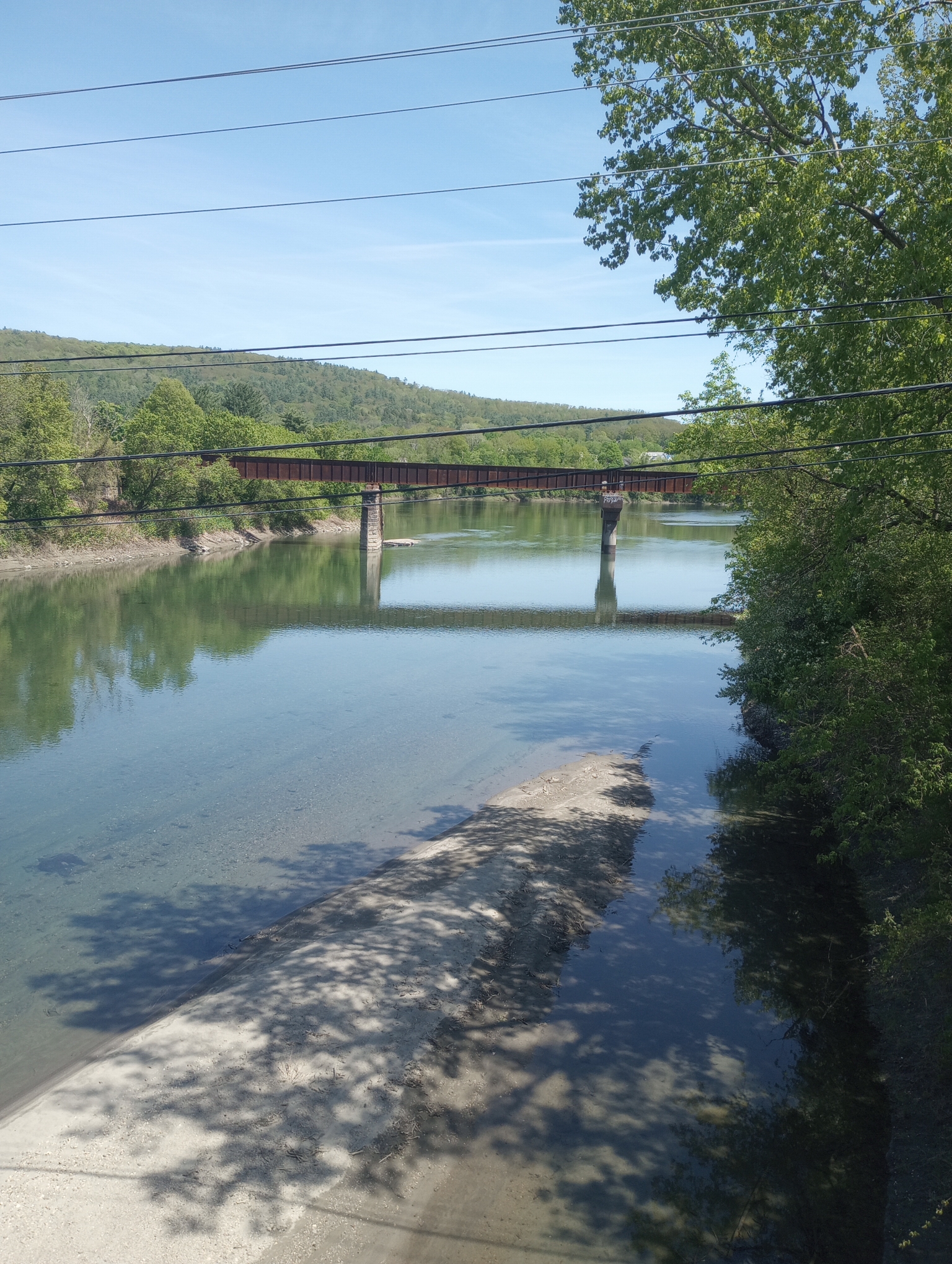
A picture of the White River with railroad bridge and confluence with the Connecticut River in the distance.
Strava tells me: 26.05 miles in 3:04:17 for an average of 8.5 mph. A total of 741 feet climbed and 1868 calories burned.
WP Strava ERROR 403 Forbidden - See full error by addingdefine( 'WPSTRAVA_DEBUG', true );
to wp-config.php