Millersburg, riding OTET
Several things went better today than yesterday:
- My GPS cycle computer worked without getting confused. I did a factory reset yesterday since it had lost the ability to reliably indicate the next turn. That works again today. The only confusion was me accidentally going half a mile on the wrong trail.
- It was noticeably cooler.
- After seven miles, I followed the Ohio To Erie Trail (OTET) – though I am going the opposite direction (ETOT). About half the route was on trails and the other half on lightly traveled roads. My initial escape from Canton was on hilly city streets without shoulders but it was early Sunday morning without traffic.
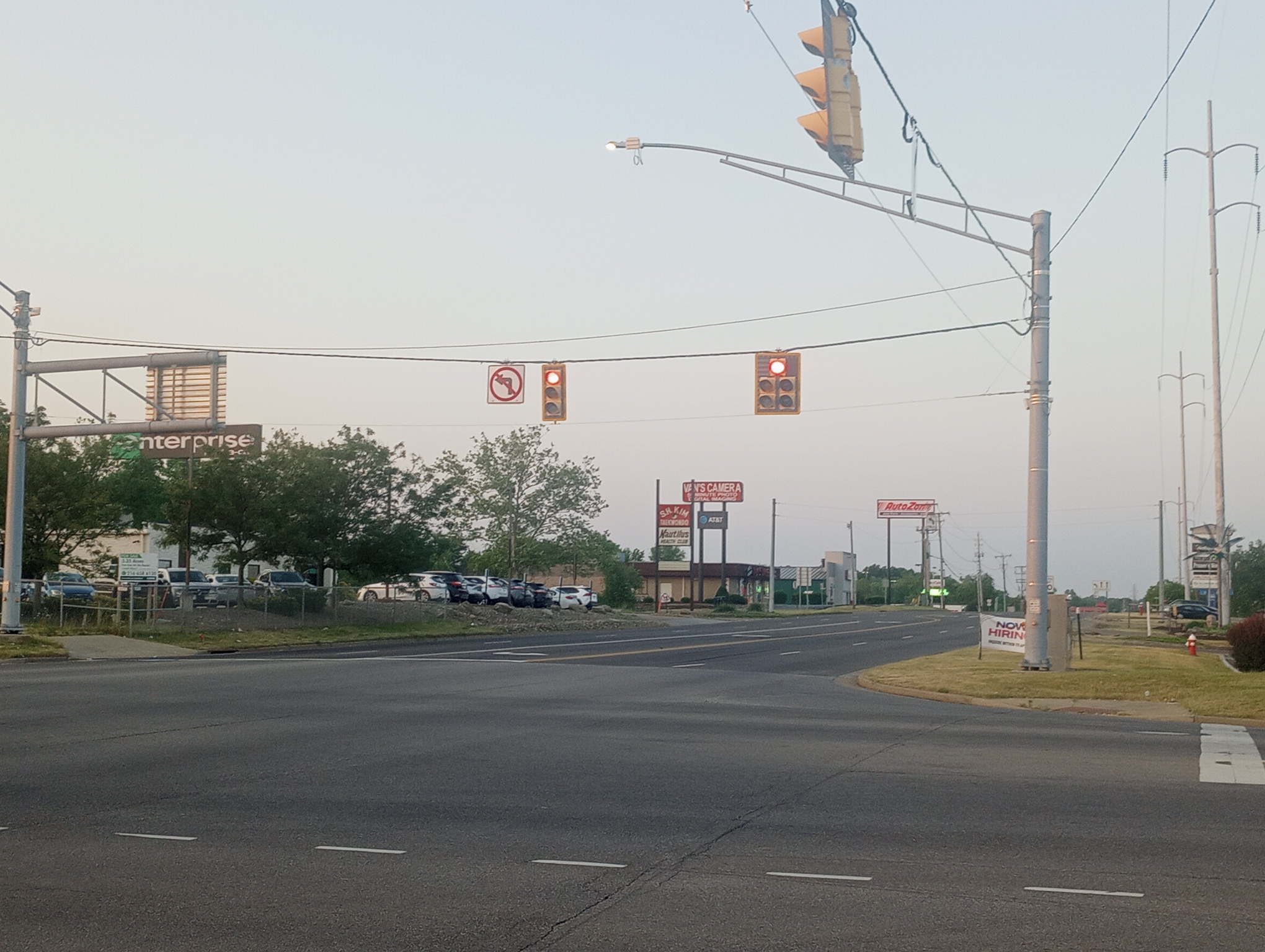
One photo of Canton intersection leaving. If you look carefully on the light pole across are two yellow pedestrian buttons but also notice: no crosswalk, no sidewalk and no lights to tell pedestrians to walk/don’t walk. As far as I can tell – the buttons aren’t connected to anything. Crossing as a pedestrian yesterday to get to the grocery store – cars honked “get out of my road”.

A few hills to climb over, just enough to throw things into low gear.
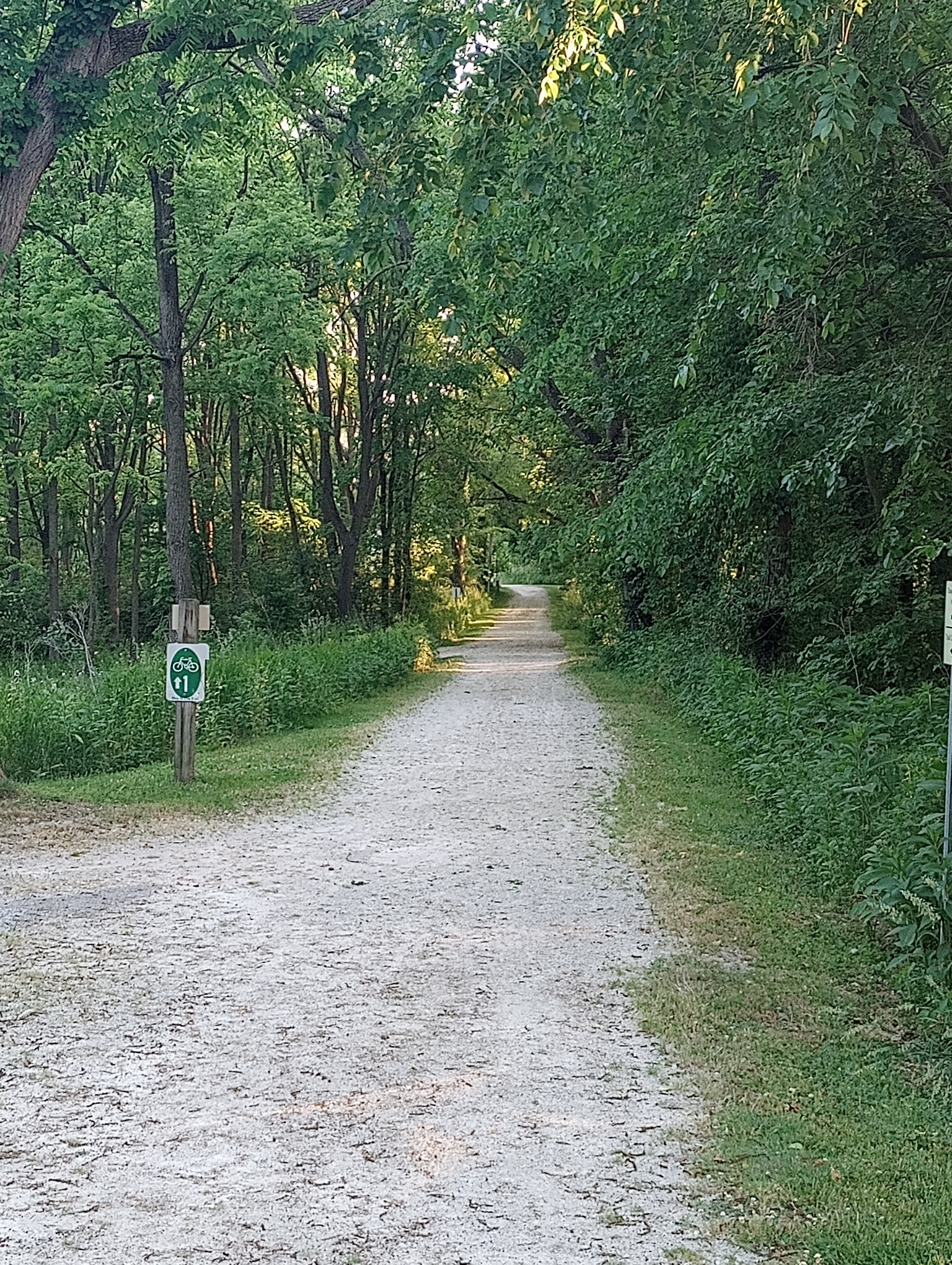
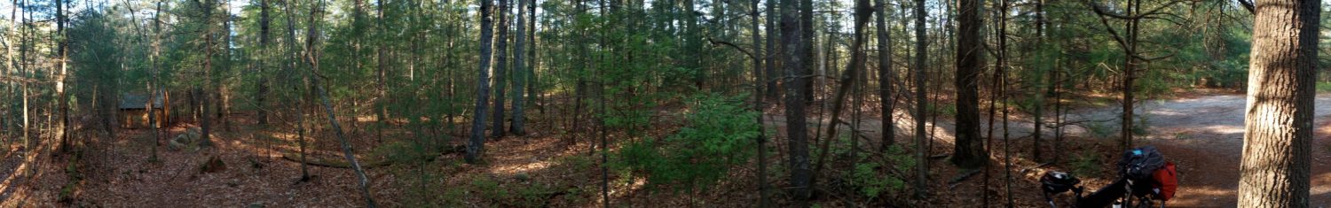
Start of the first trail. I went the wrong way briefly but figured it out. This trail was ~12 miles and about a third paved.
Riding the trail on top of the canal.
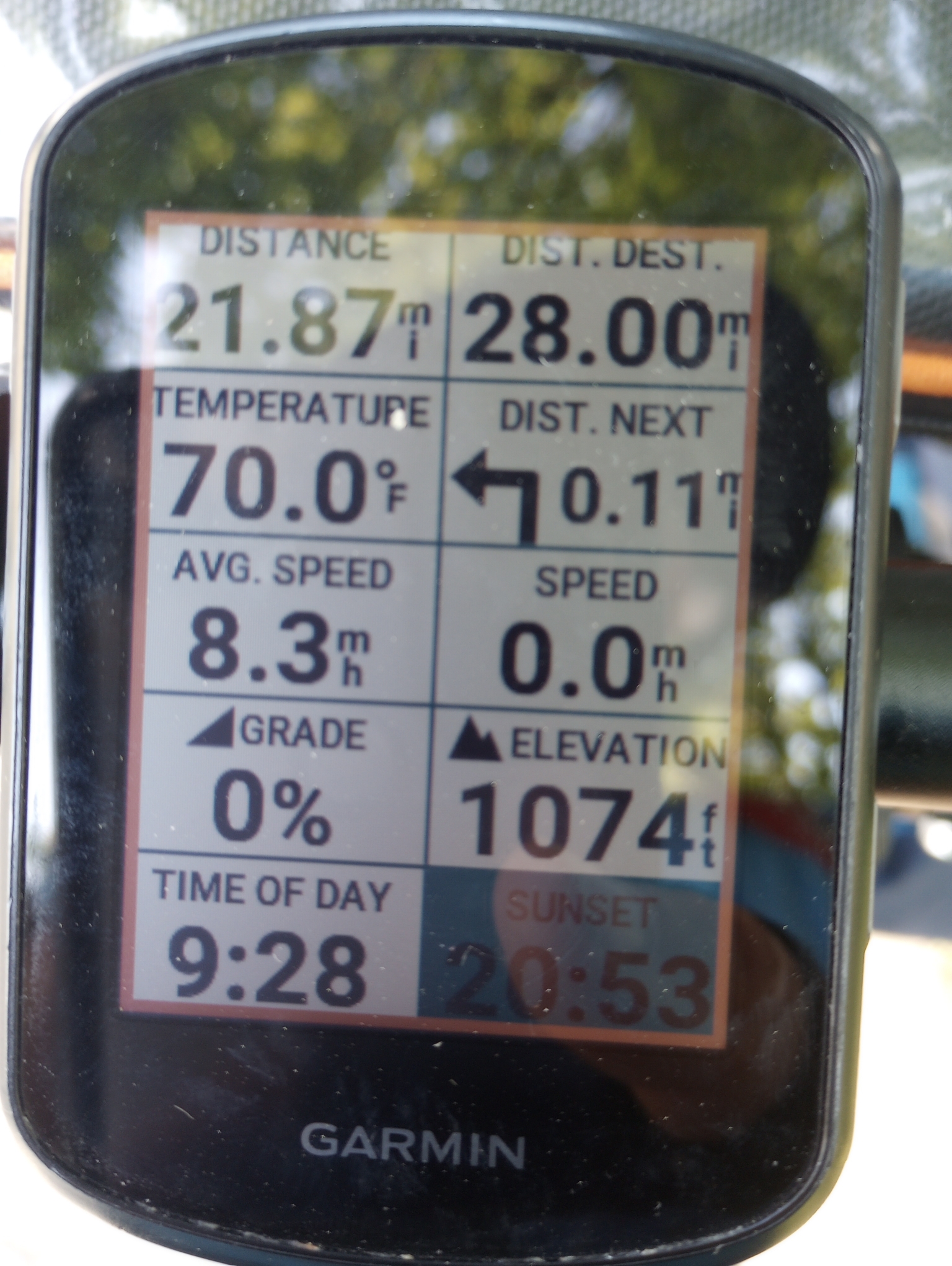
My cycle computer was reset which also meant I could set up the display again. I’ve put a lot of numbers on this screen:
- How far I’ve gone
- How far until the end of the route
- Temperature, this works OK until the direct sun heats the screen
- How far until the next turn. When this gets less than 0.1 miles a screen and map pop up
- Average speed
- Current speed
- Grade of a hill
- Elevation
- Time
- Sunset time
I can change things around and pick other things to show or less than 10 things but this provides a good “cockpit” on the road. A far cry from when I started touring and had an odometer and a watch.
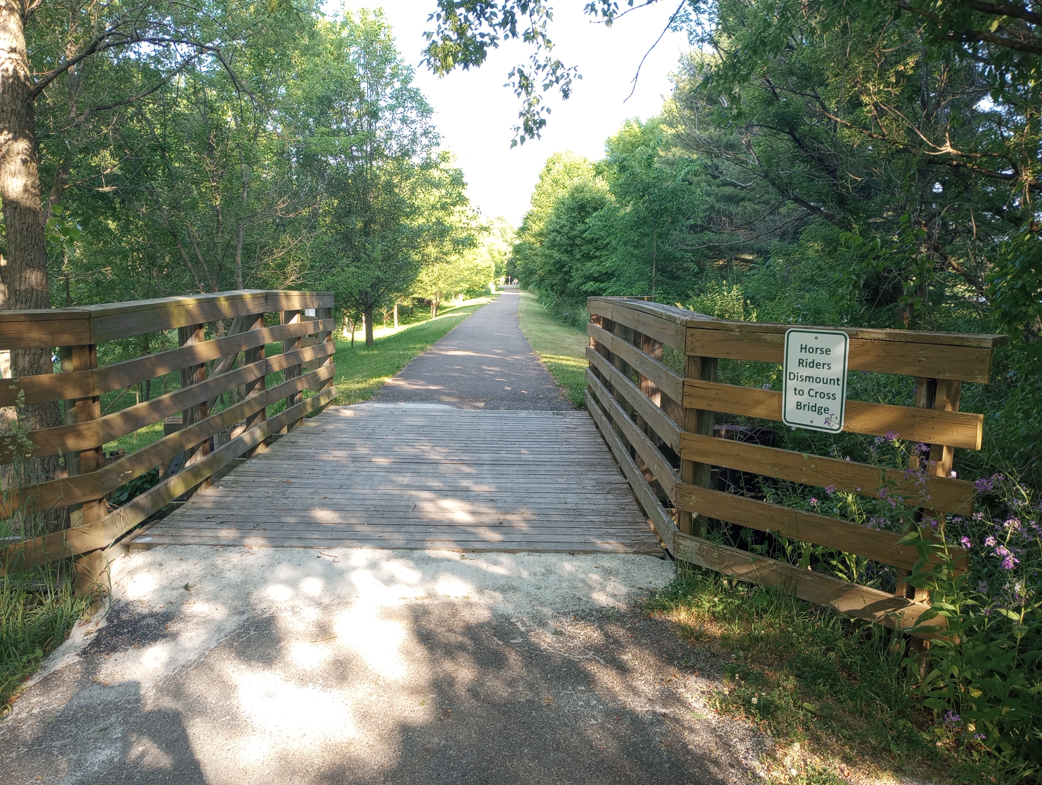
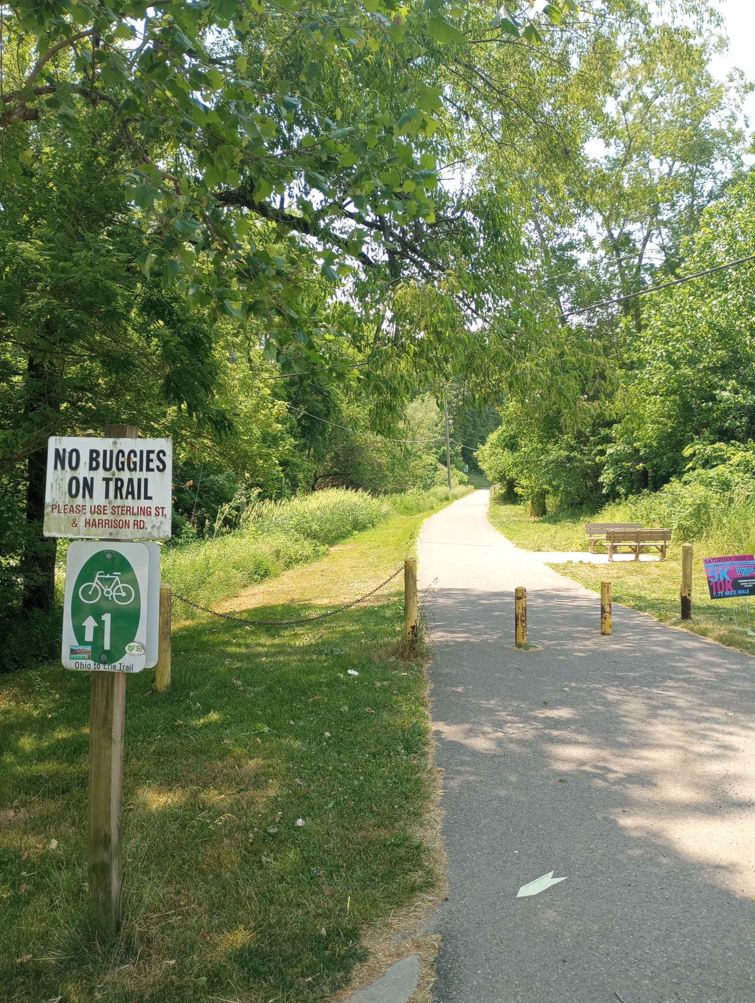
This first trail didn’t have any horse poop. It did have many of these short bridges with signs telling riders they needed to dismount.
After

After the trail, the middle half of the ride was on little traveled roads in the countryside
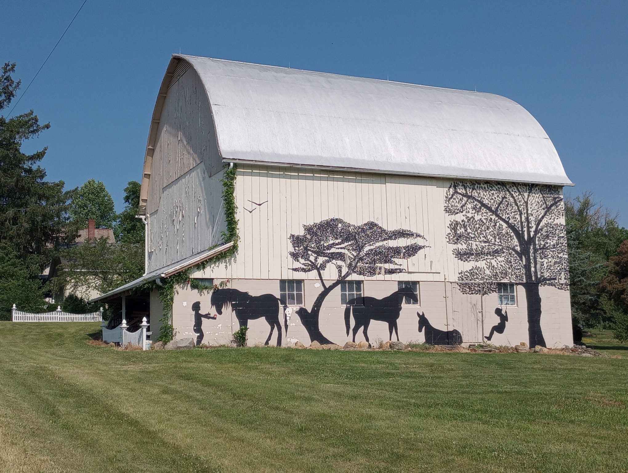
Barn decorations
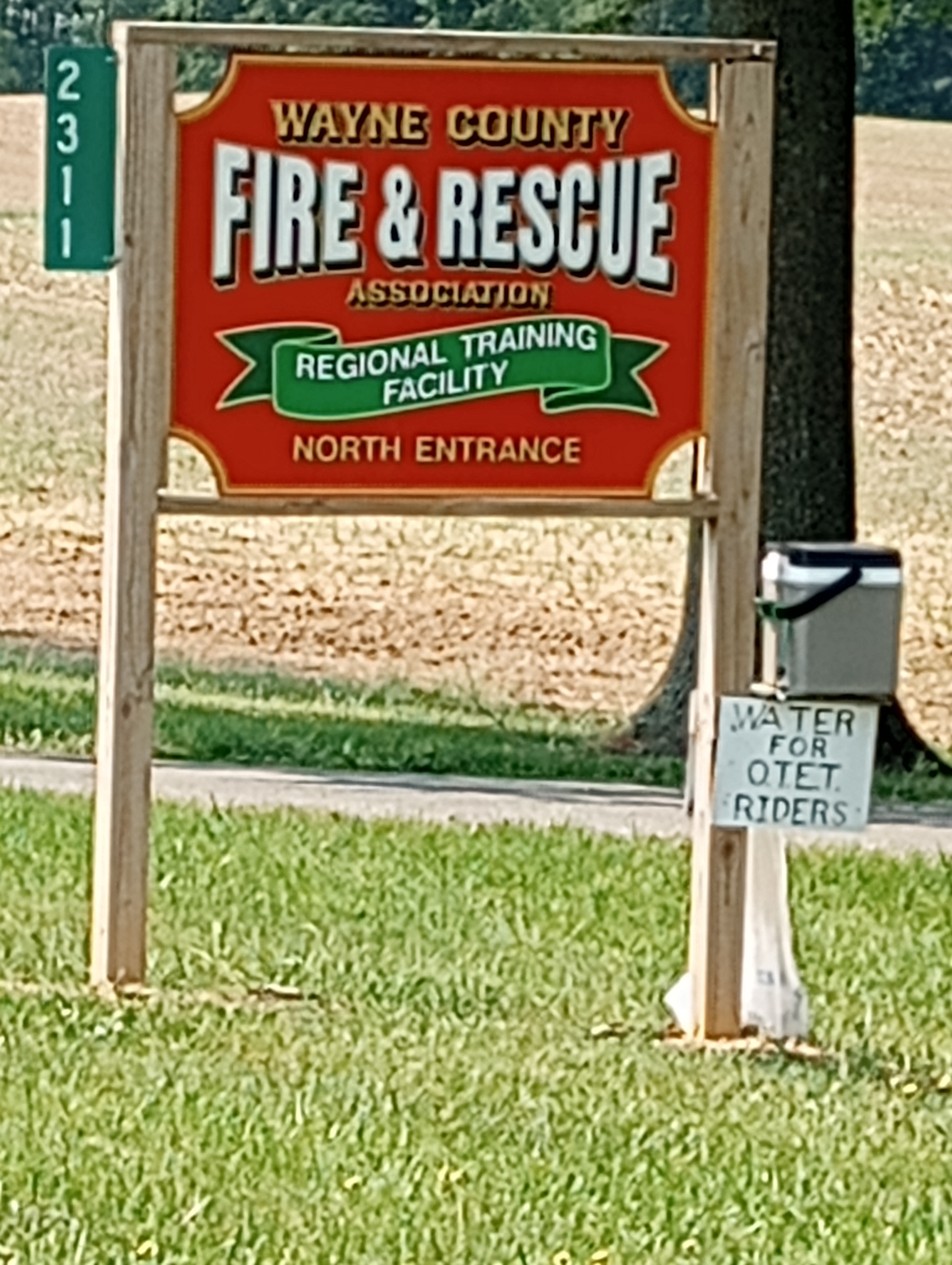
Thank you Wayne County for putting out water for riders. One occasion today I was walking my bike up a short steep hill and past someone’s residence. He also offered water and reassured me only “Cutter road hill was left – it can be as steep as 18%”. That one was substantial, my GPS recorded 11%.
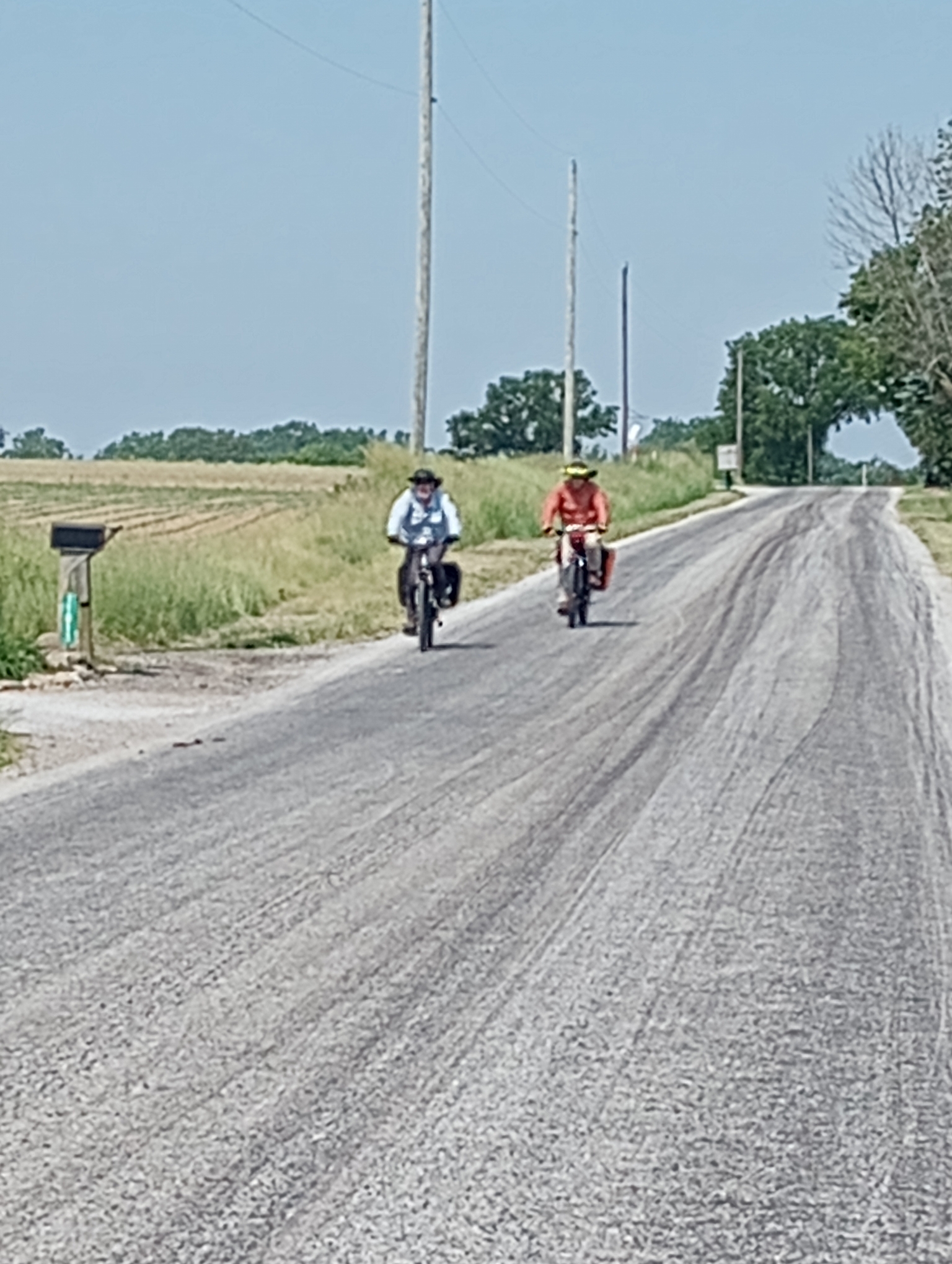
Cycle tourists headed the other way.
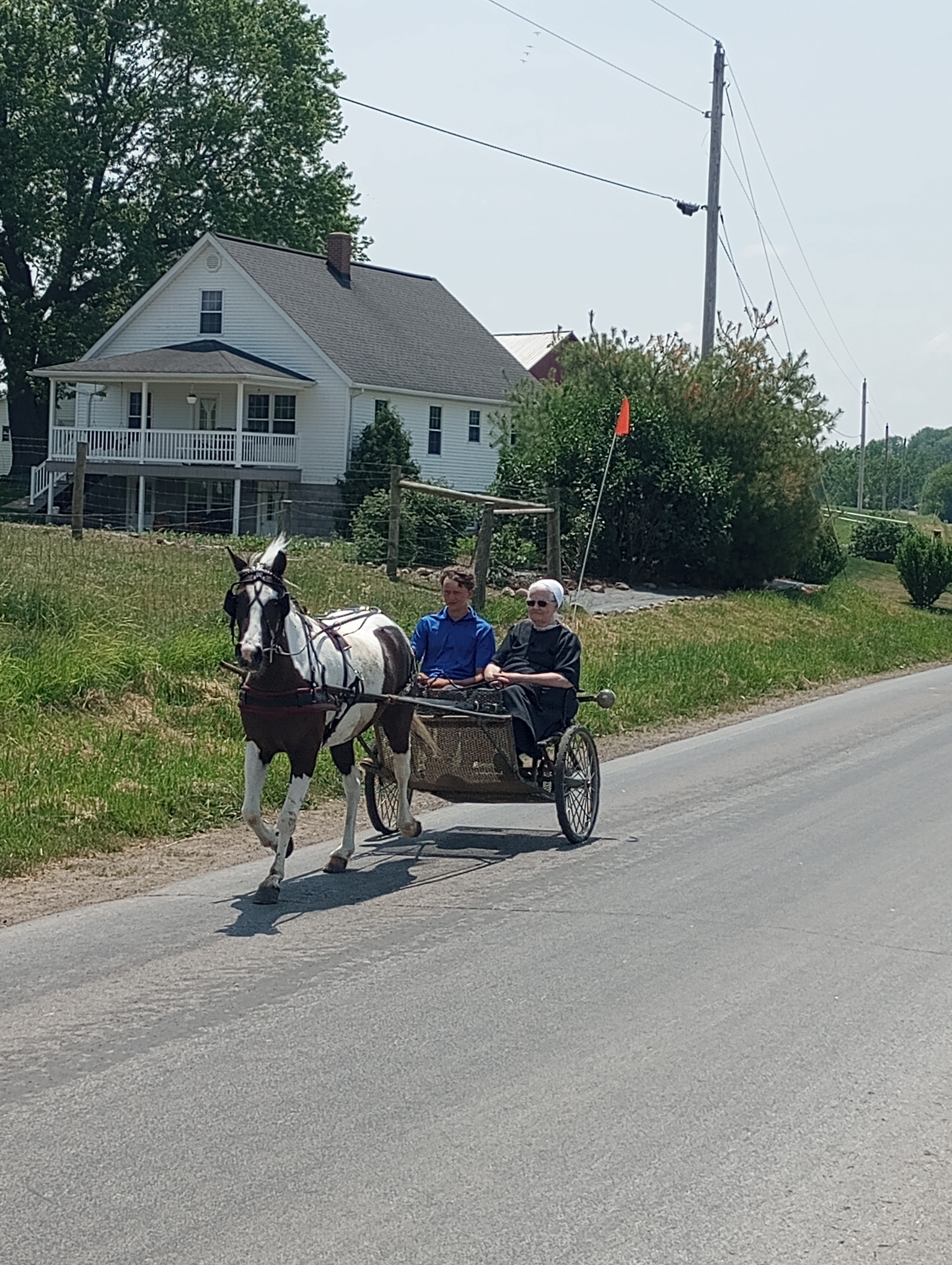
Buggy riders. Fredericksburg appears to be Ohio Amish area. In addition to half a dozen buggies, I also saw a number of cycling Amish
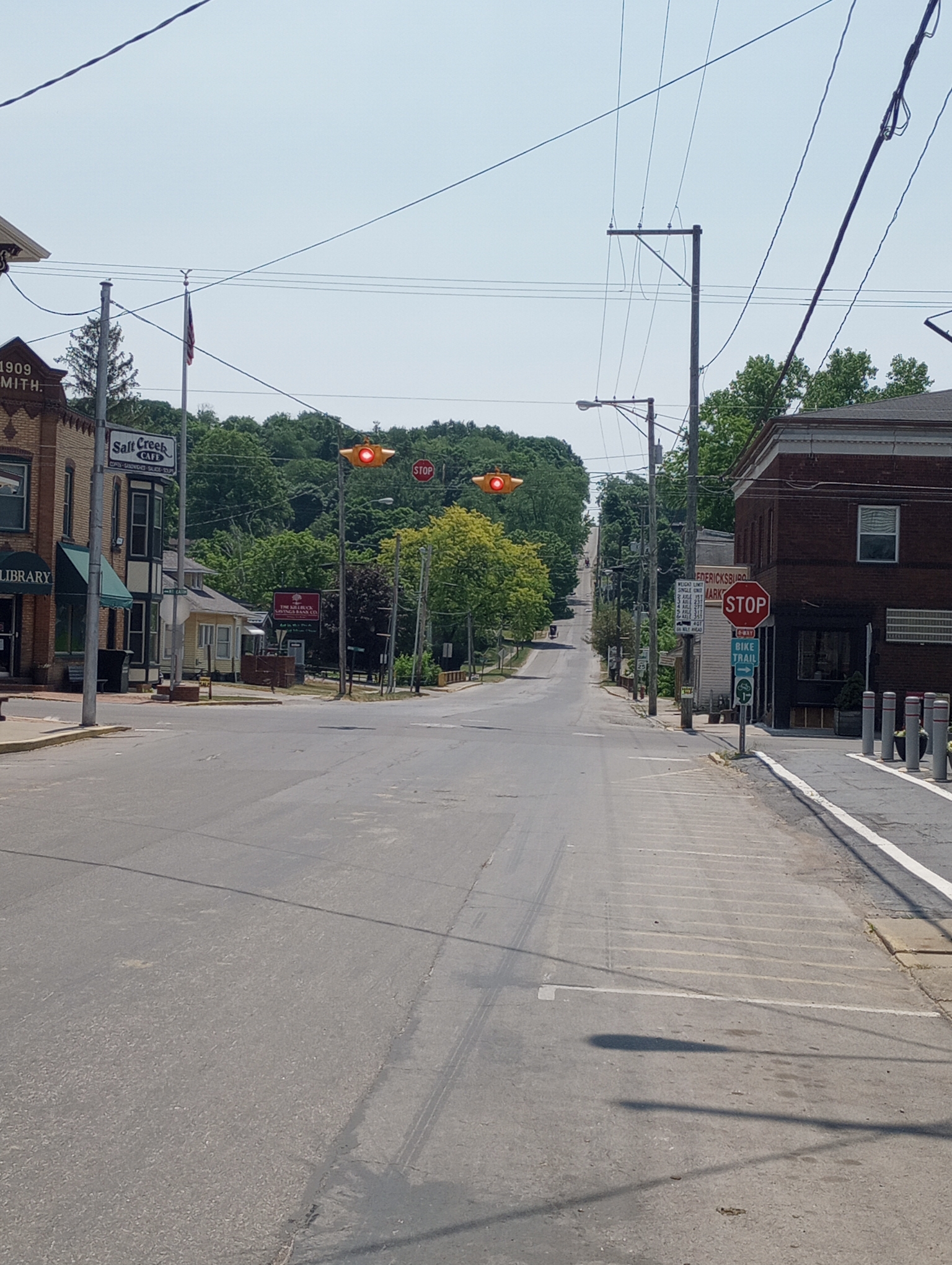
Main street in Fredericksburg
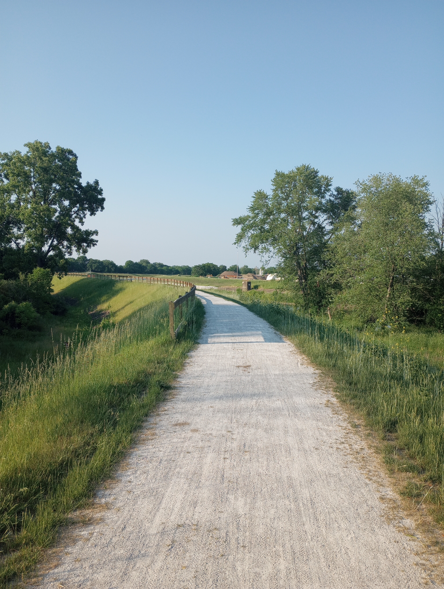
The last 10 miles were on a paved trail.
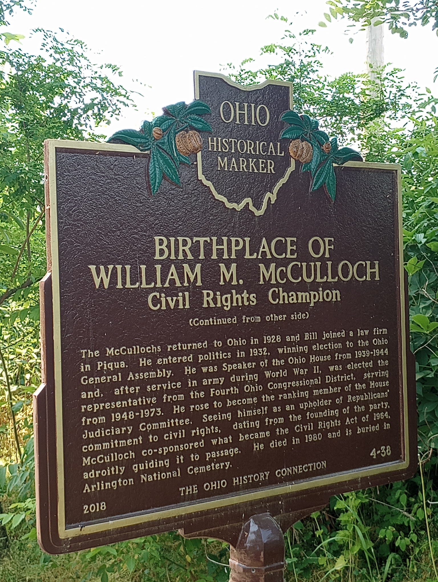
Historic sign
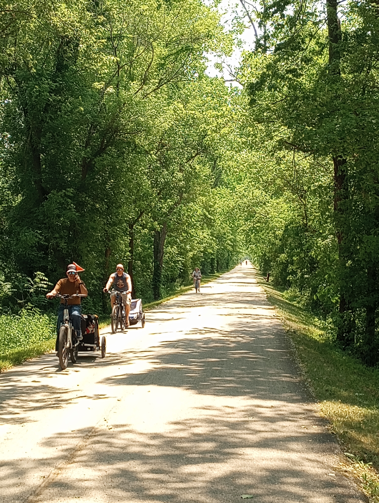
Sunday afternoon with many people out on the trail. Overall the route had some hills but traffic was much improved from yesterday. Nice for Ohio to set up this OTET route which seems to string together some trails and rural routes.
Strava says: 49.80 miles in 5:50:03 for 8.5 miles/hour. 1617 feet climbed and 3620 calories burned.
WP Strava ERROR 403 Forbidden - See full error by addingdefine( 'WPSTRAVA_DEBUG', true );
to wp-config.php
Glad you got on the ETOT. I haven’t ridden it yet but look forward to it next year. I will definitely avoid Canton at all costs.