Mount Vernon, linking trails
An easy ride today, mostly on bike trails with a short stretch of less traveled country roads.
I took my time starting out. Partially because breakfast was at 6:30 and also because I expected a shorter ride. Over breakfast I met Tommy and JD who had started cycling in Santa Monica California on a cross-USA bike ride. Their ride is dedicated to awareness and fundraising for Sarcoidosis. Their web site: sarcoidbiketour.com does a good job of explaining how a 69-year old and 70-year old find themselves on bicycles across the US. We also compared notes about roads and routes ahead.

Today the route brought me via three different bicycle rail trails linked by connecting roads. First was the Holmes County Trail I was on yesterday. It was 46F starting out so it was cooler than the last several days.

This trail ended in the next small town of Killbuck. From the poop on the trail, it seems horses use both sides.
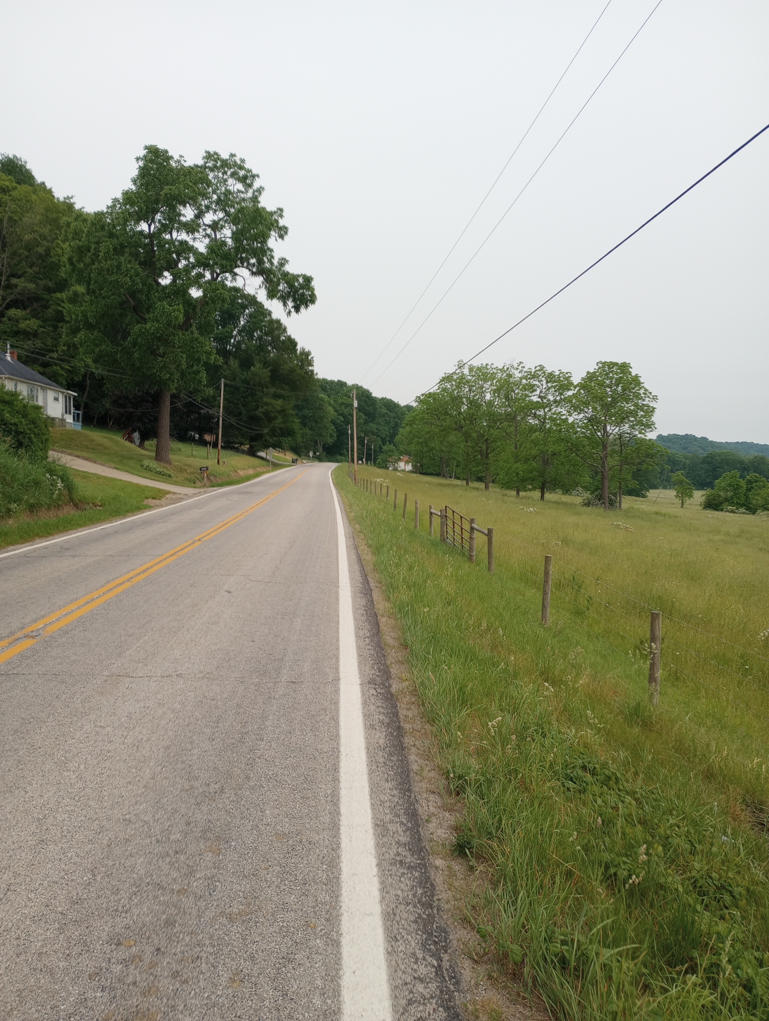
After Killbuck there was a great rural road to Glenmont. In contrast to rural areas yesterday, a lot more trees and less land cleared for flat farmland. There was almost no traffic on the road. You could tell this was part of ETOT since it seemed they overdid all the bicycle signage: yellow caution bicycles, share the road signs and reminders that Ohio had a three-foot passing law. All this on a road where fewer than eight cars passed in eight miles (going both directions). I didn’t count but estimated ~24 bicycle signs in those eight miles.

Glenmont brought me to my next trail. This one had a gentle 1-2% grade for multiple miles to the top of a divide followed by multiple miles of 1-2% descent where I could glide without pedaling.
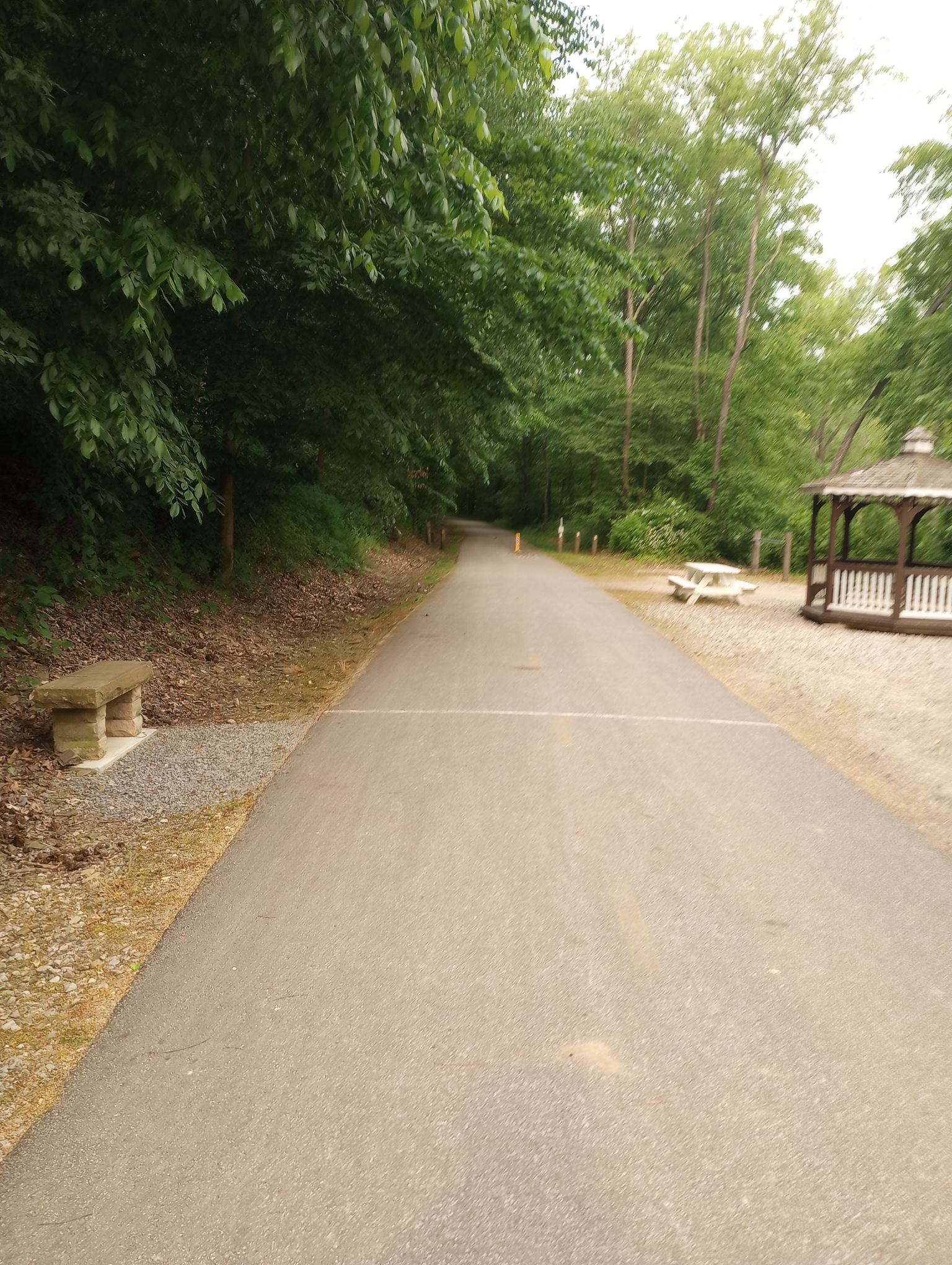
Here is the start of the trail.

The Mennonite Church has the reminder for the day. After Danville I was now on a different trail.
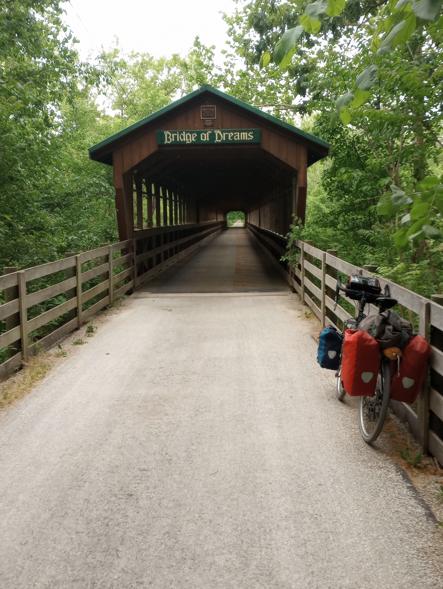
Across the Bridge of Dreams

An imposing arch at Howard

Description of the arch. The other side tells that it was built in 1874 for the highway over the Cleveland, Mt Vernon and Delaware Railroad. One thing I found interesting was linking some of the history: the Erie Canal in the 1820s leading to towns like Gambier established in 1824. All this was not so old by the time the Colorado front range was settled (1870s).
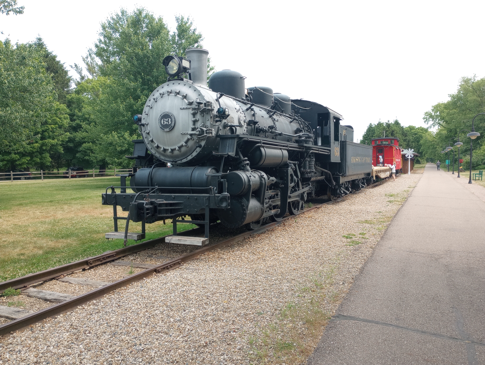
Steam locomotive in Gambier.
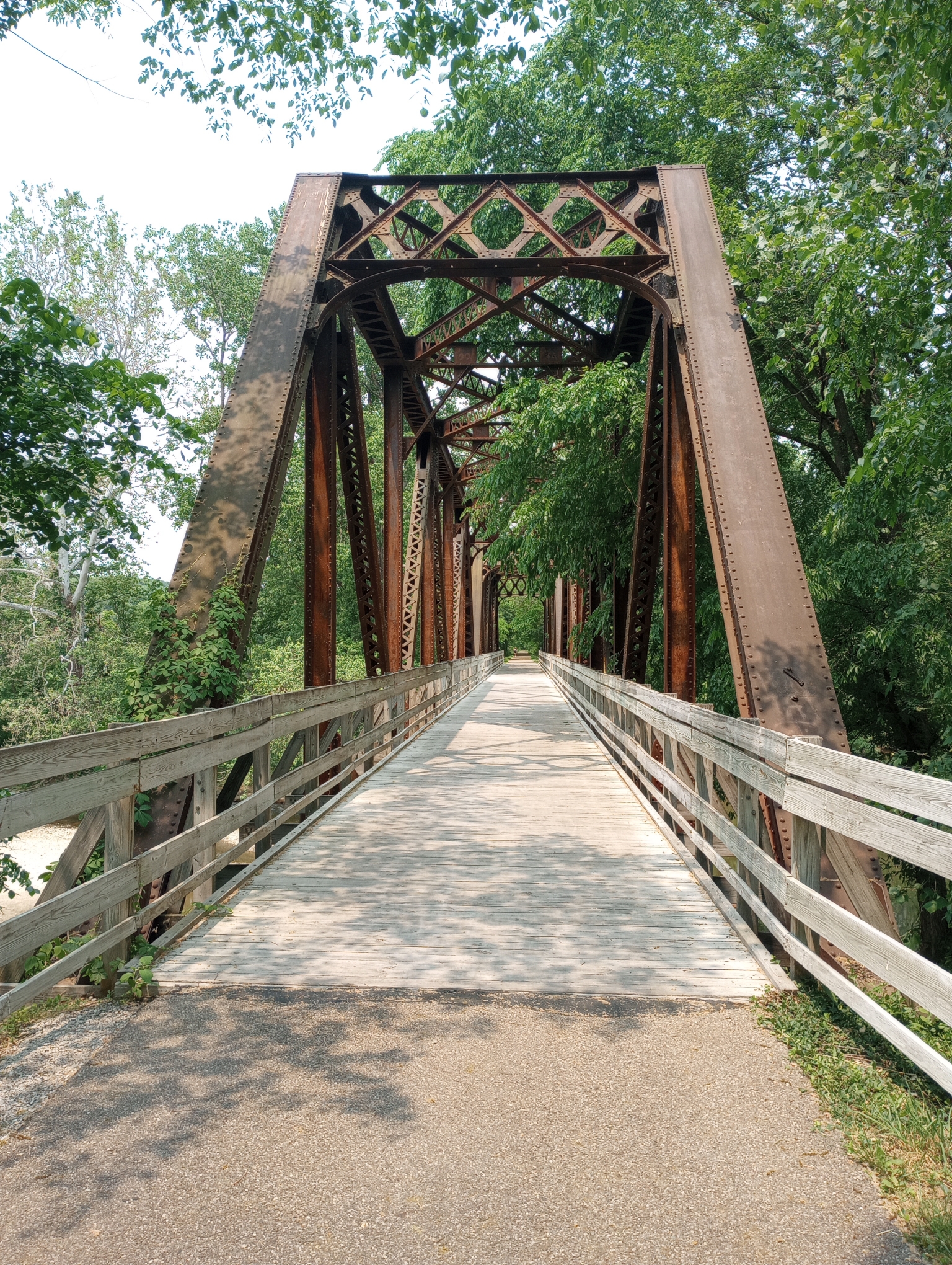
The last few miles had this impressive railway bridge.
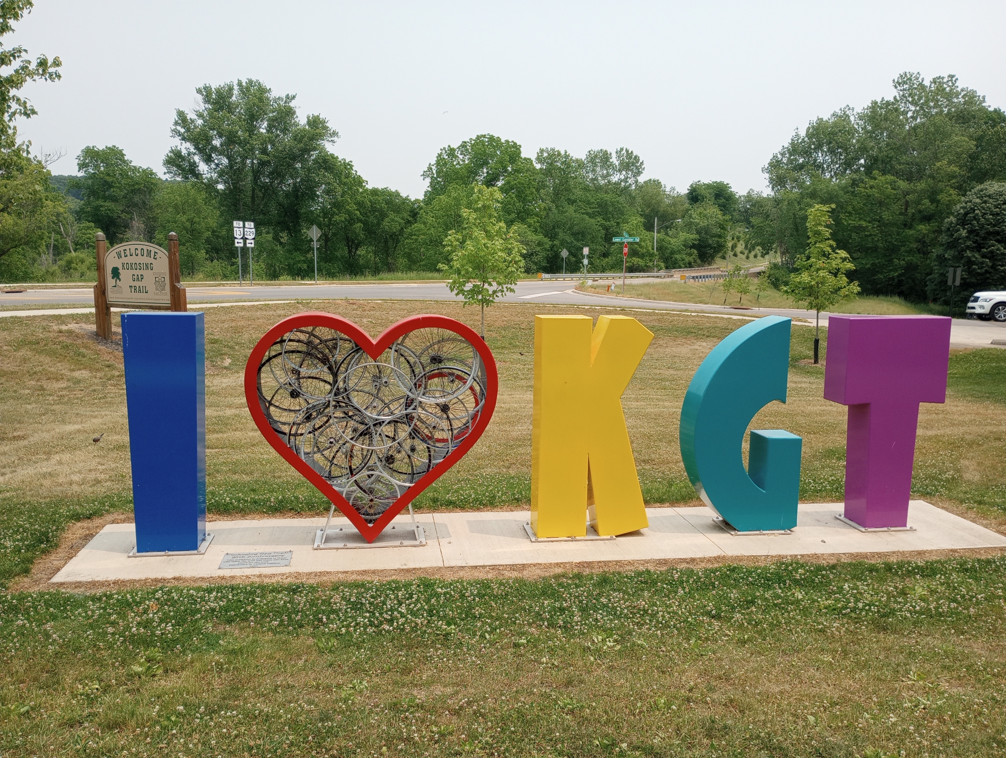
Art for the Kokosing Gap Trail.
All made for an easy and relaxed ride on trails with a short stretch of road with almost no traffic.
Strava says: 40.64 miles in 4:25:44 for 9.2 miles/hour. A total of 928 feet climbed and 2620 calories burned.
WP Strava ERROR 403 Forbidden - See full error by addingdefine( 'WPSTRAVA_DEBUG', true );
to wp-config.php