Xenia, from the big city to a flat part of Ohio
Today was almost entirely riding trails as I escaped Columbus and cycled into the Ohio countryside and past a few small towns. In contrast to entering Columbus, the exit had a lot fewer trail crossings and busy streets. By six miles I was on the Camp Chase Trail and except for short bits in the towns, cycling mostly long straight flat trails. While the distance was slightly longer than average, it was easy riding.

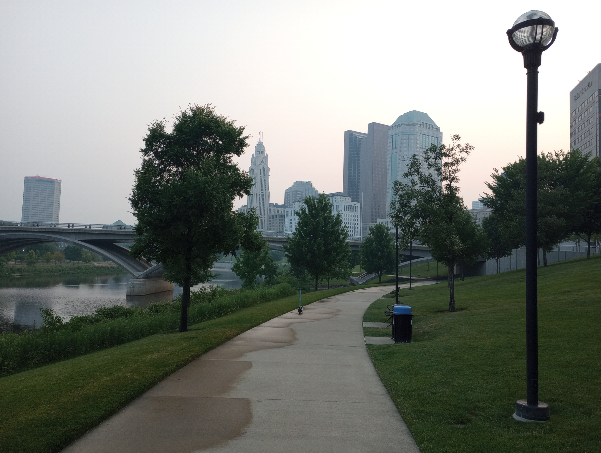
My map program doesn’t know about construction, but fortunately it’s not too difficult to get through downtown around 6am.
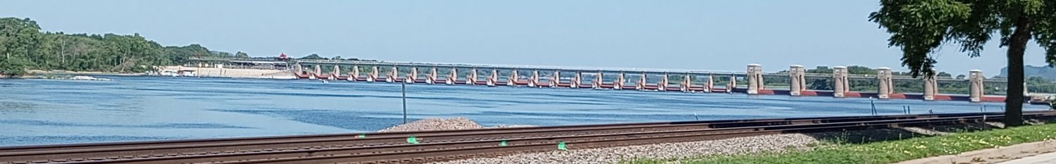
This brought me to a trail following the Scotia River and headed outbound.

The Camp Chase Trail, the first of several linked trails. The railroad line is used but rarely and I didn’t see a train on this track.
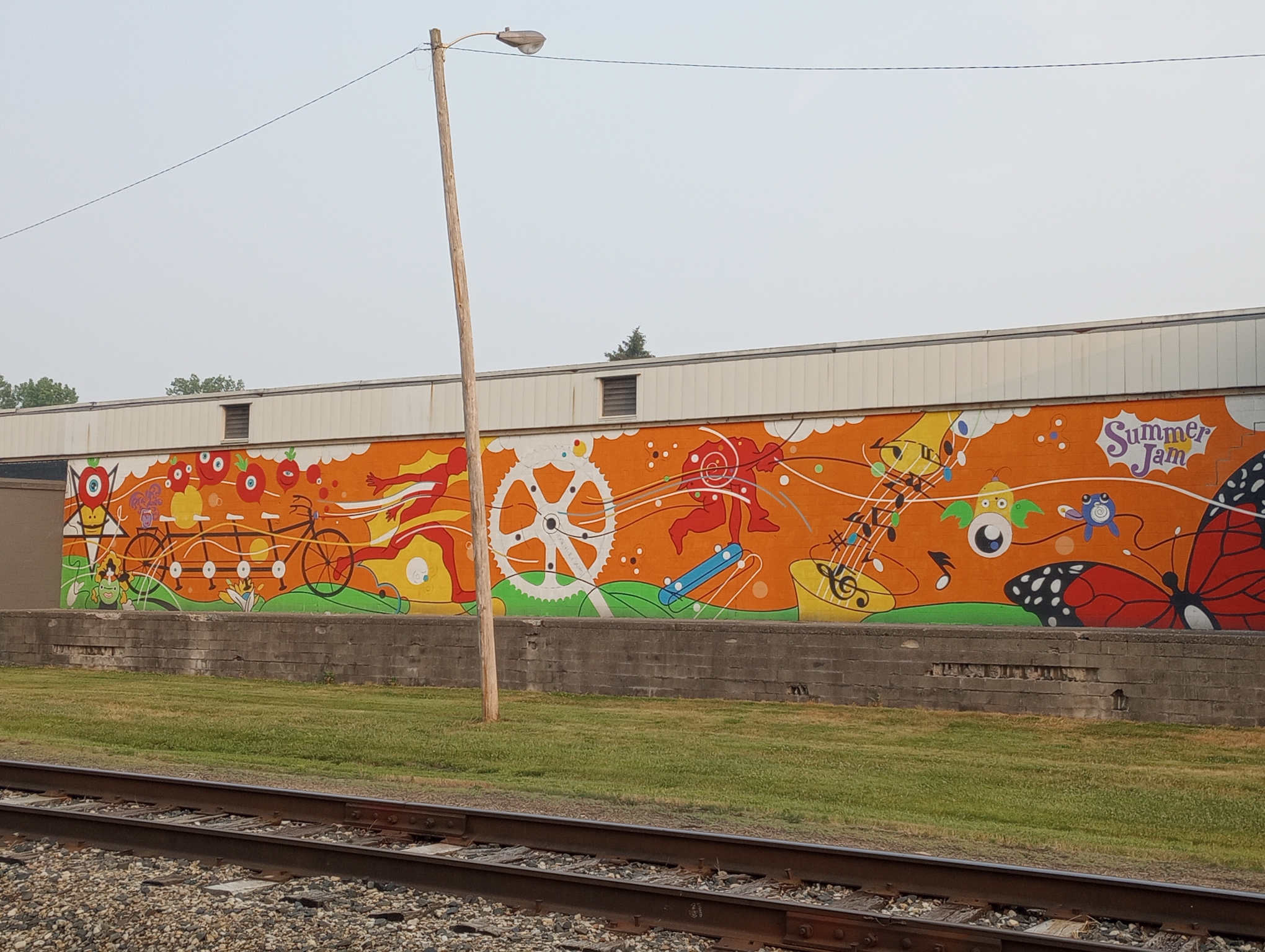
Mural along the way.
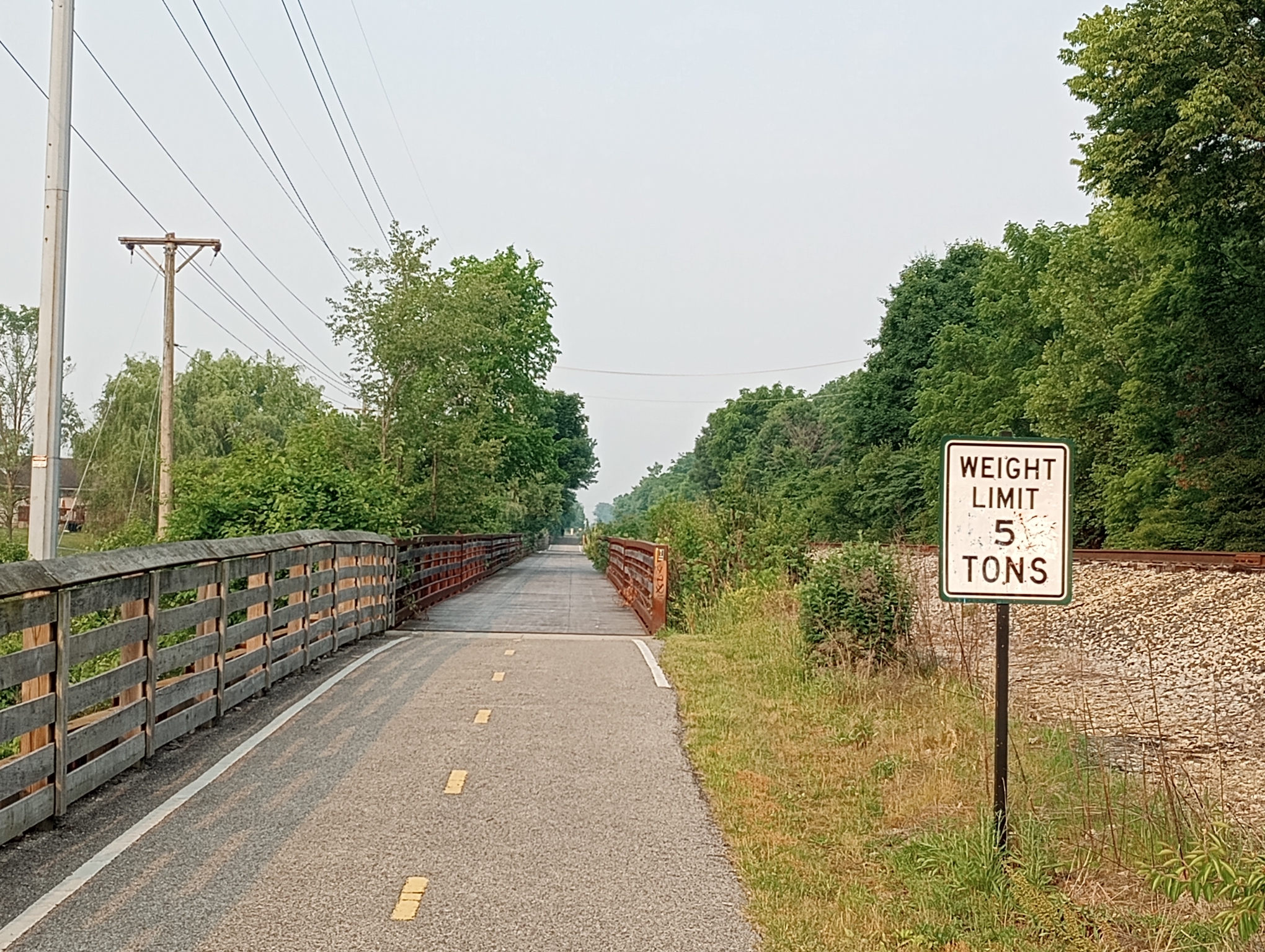
My estimate is approximately 50 cyclists needed to reach the weight limit for this bridge.
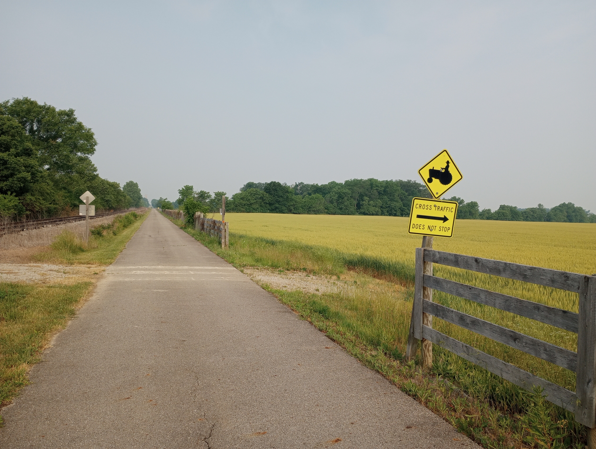
Cross traffic goes from the gravel path on the left to the wheat field on the right.

When the trail reached the Darby River, there was a railway bridge but no adjacent bicycle bridge. The trail descended down through thick underbrush and was gravel for a short while.

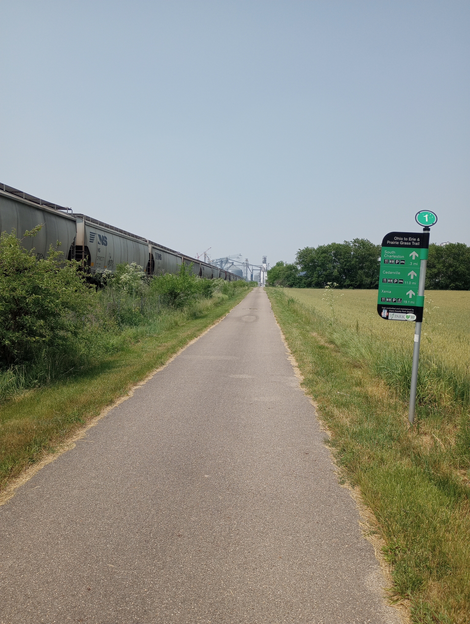
Not only the trail, but also the surrounding area became very flat. It wasn’t a factor today but I expect more concerns on wind than hills.

The town of London had a nice sequence of murals telling a history starting with a wooly mammoth on the right.

Middle section of history including the civil war.
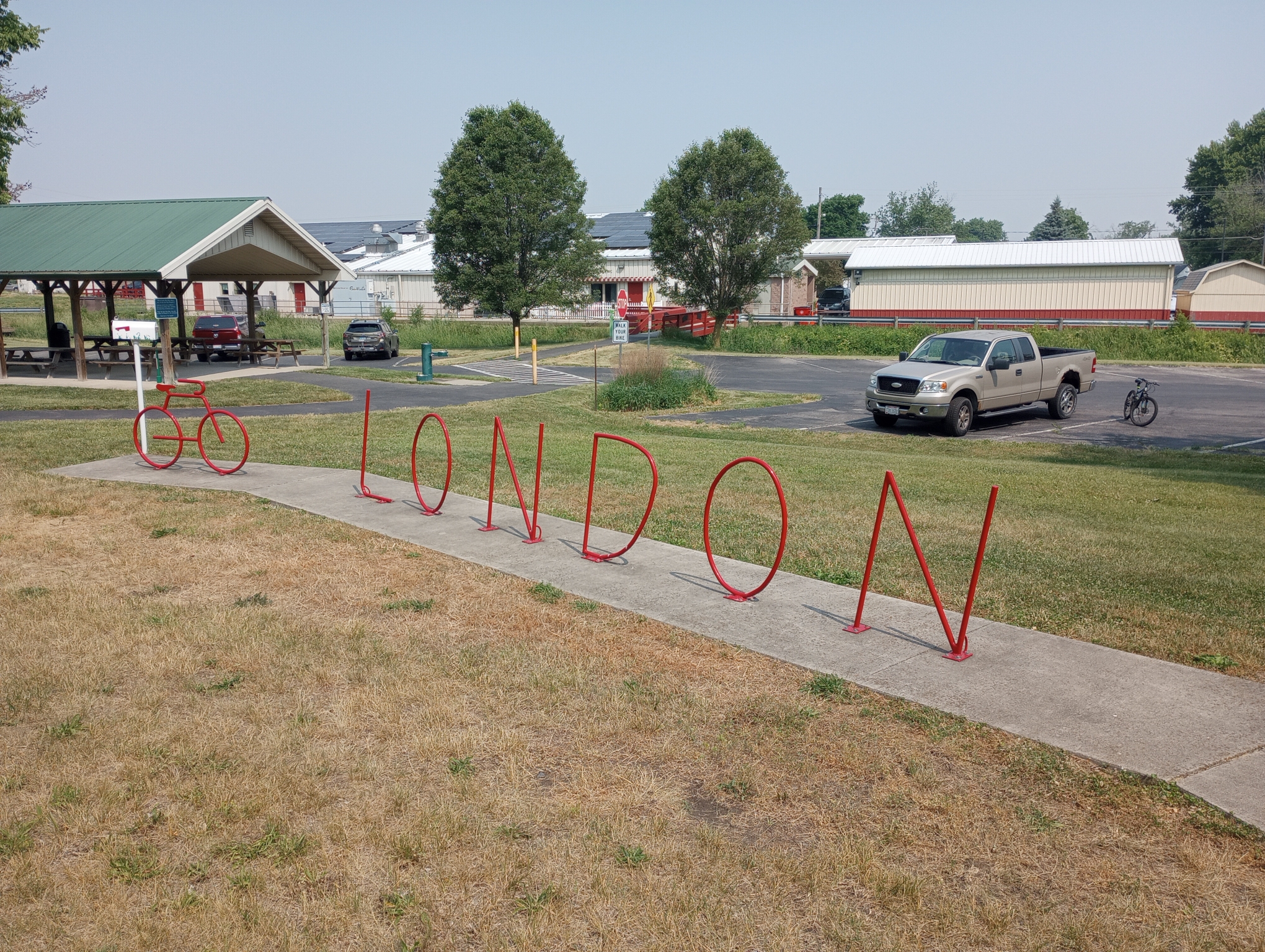
This was marked as a camping area. Towns like London do a good job taking advantage of the trail. There were signs and a pamphlet showing local businesses. I stopped here for an early lunch.
Train parked along the trail.
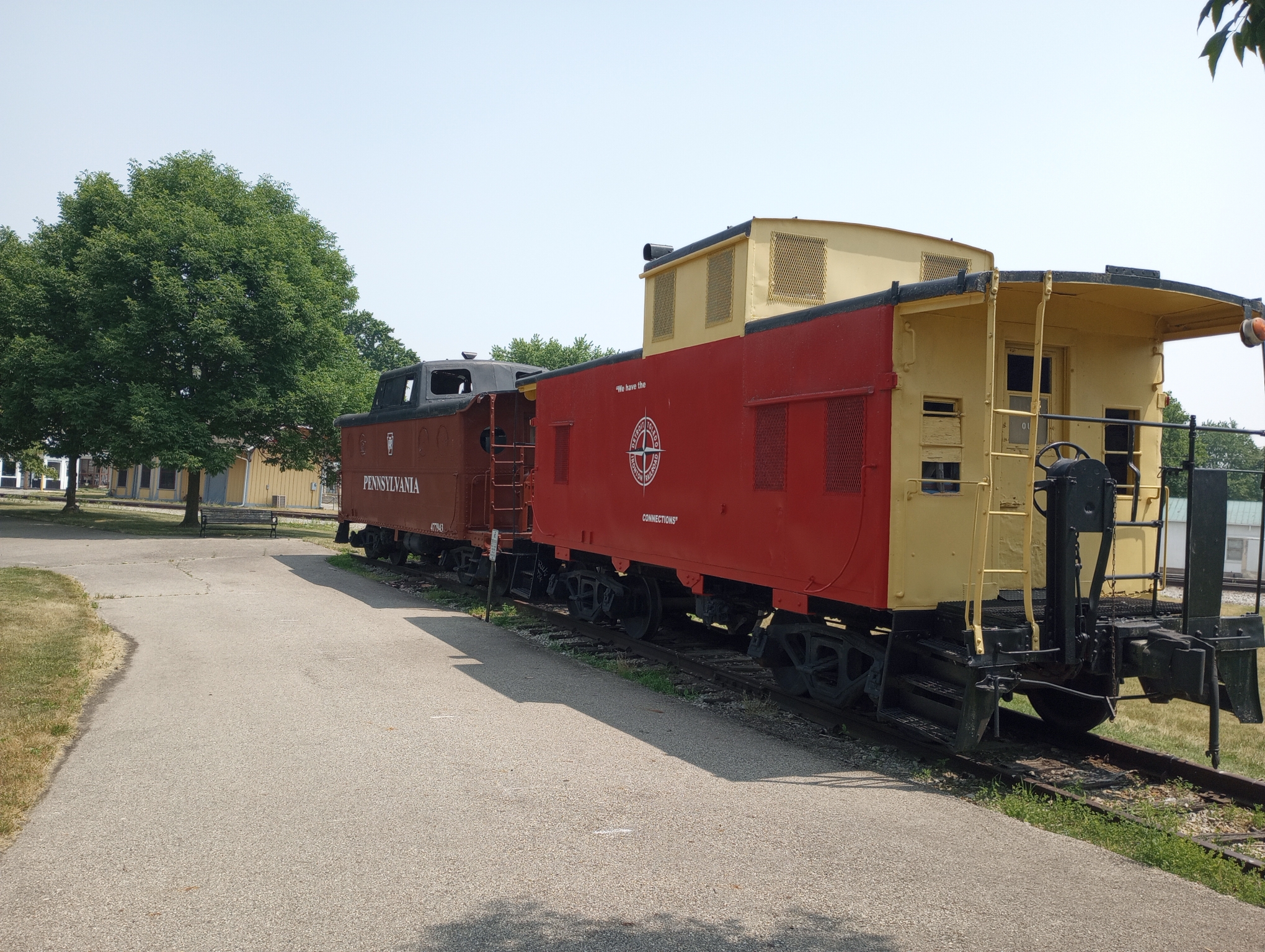
Charleston had their train. Also nice to have a depot with restrooms and water.
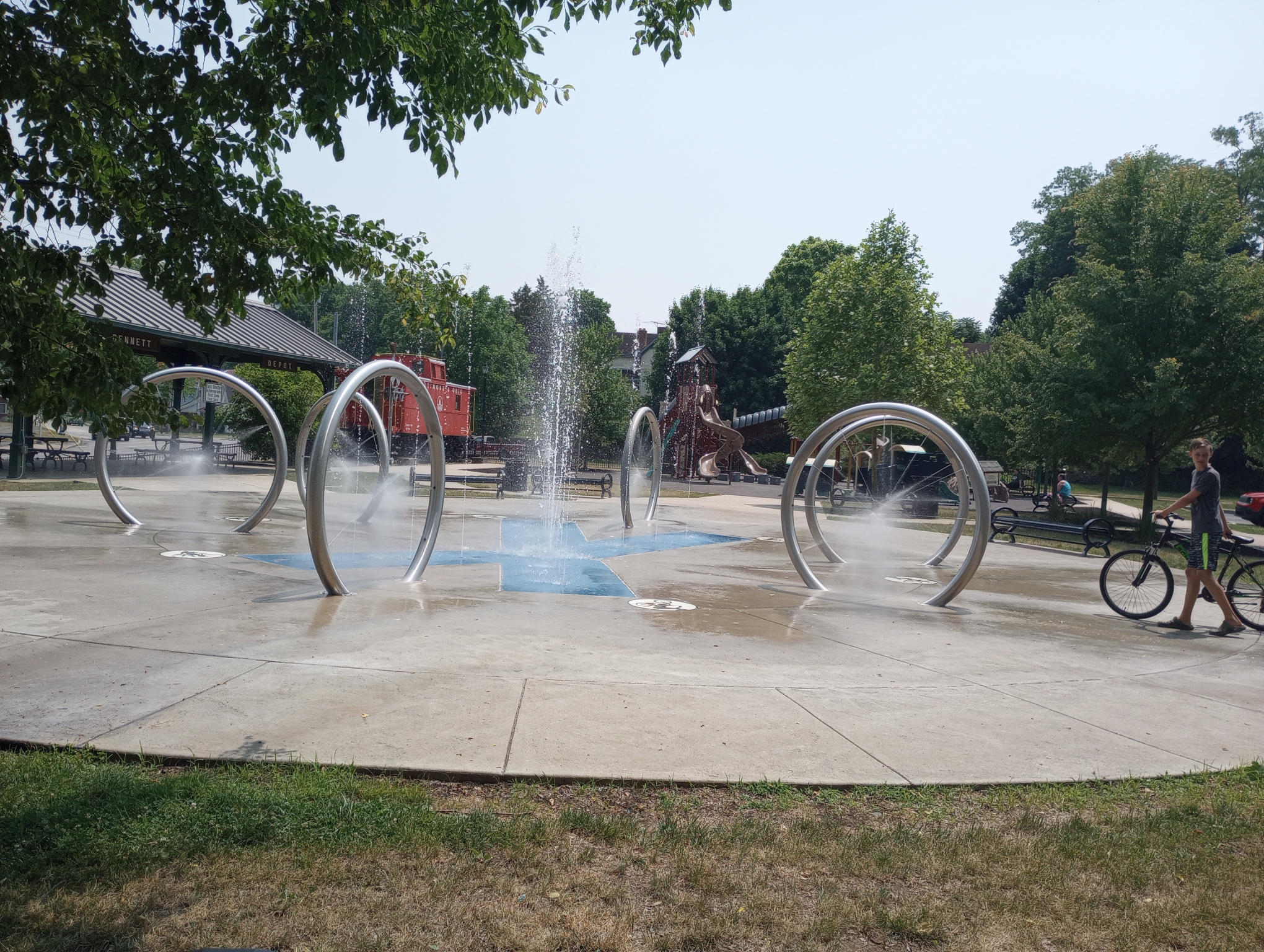
Xenia had this water sculpture including jets that come from spokes on those round wheels. Overall, a not very difficult ride mostly on trails. This brings me to the finish of ETOT cycling. The trail continues another 60+ miles to Cincinnati but I head westbound from here towards Indianapolis.
Strava says: 60.63 miles in 6:29:53 for 9.3 miles/hour. 1050 feet of elevation gained and 3576 calories burned.
WP Strava ERROR 403 Forbidden - See full error by addingdefine( 'WPSTRAVA_DEBUG', true );
to wp-config.php
Thanks for the great pictures; really makes me want to go there on my bike.