Danville, back roads to the Land of Lincoln
Farewell Indiana, hello Illinois. I have crossed over the border to Danville, the first town across the line. I took a back roads approach which mostly worked. What I do is ask the RideWithGPS program to plot a route between two end points and then adjust the route wherever it says not paved. The program is conservative in avoiding small highways like US 136 that I would normally choose to ride. The advantage is you go via the really little country back roads. The disadvantage is it lies to you in telling some roads are paved when really they are gravel. I had three gravel sections today for approximately five miles. Indiana gravel roads are rougher and have more stone than ones I was familiar with in areas like Weld County Colorado.
Late yesterday the storm blew through and it stopped raining. This meant a subtle shift in wind with a stronger wind from North West (cross wind/head wind). The window rattled in the motel. In the morning I took my wide brim from my helmet – good for the sun but catches too much wind. Fortunately the wind today wasn’t as bad as feared.

I was on the road early. The road started as a four lane highway with a shoulder but quickly narrowed to two lanes without a shoulder and a lot of traffic. Fortunately I had a little over a mile.
I turned off to much quieter road and started riding squares again. Some miles west and then half a mile north and then west again, etc.
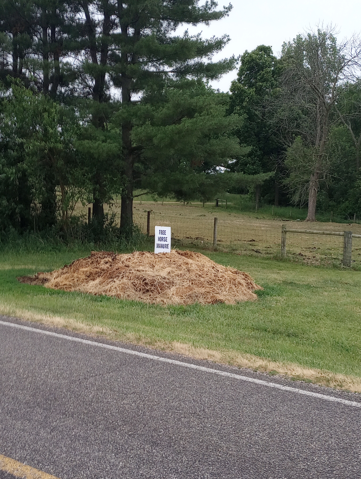
Free manure for those who want it. In the countryside many animals are more curious than when in busier areas. So when I stopped for the photo, the horses came over, as if to acknowledge their work.
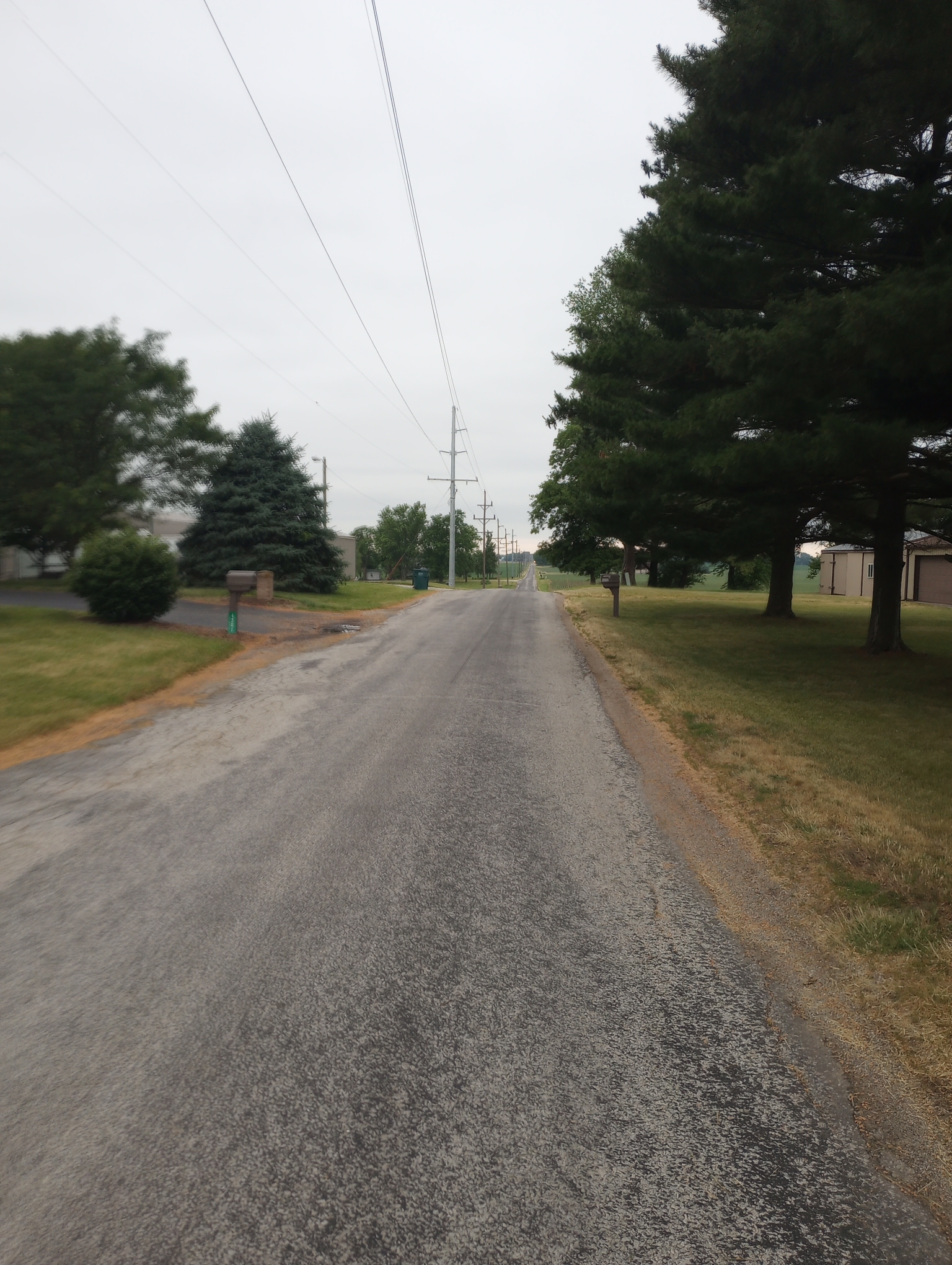
Soon enough, back to my squares.
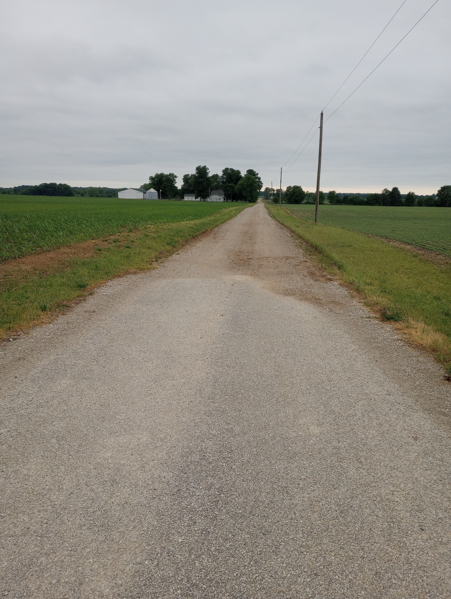
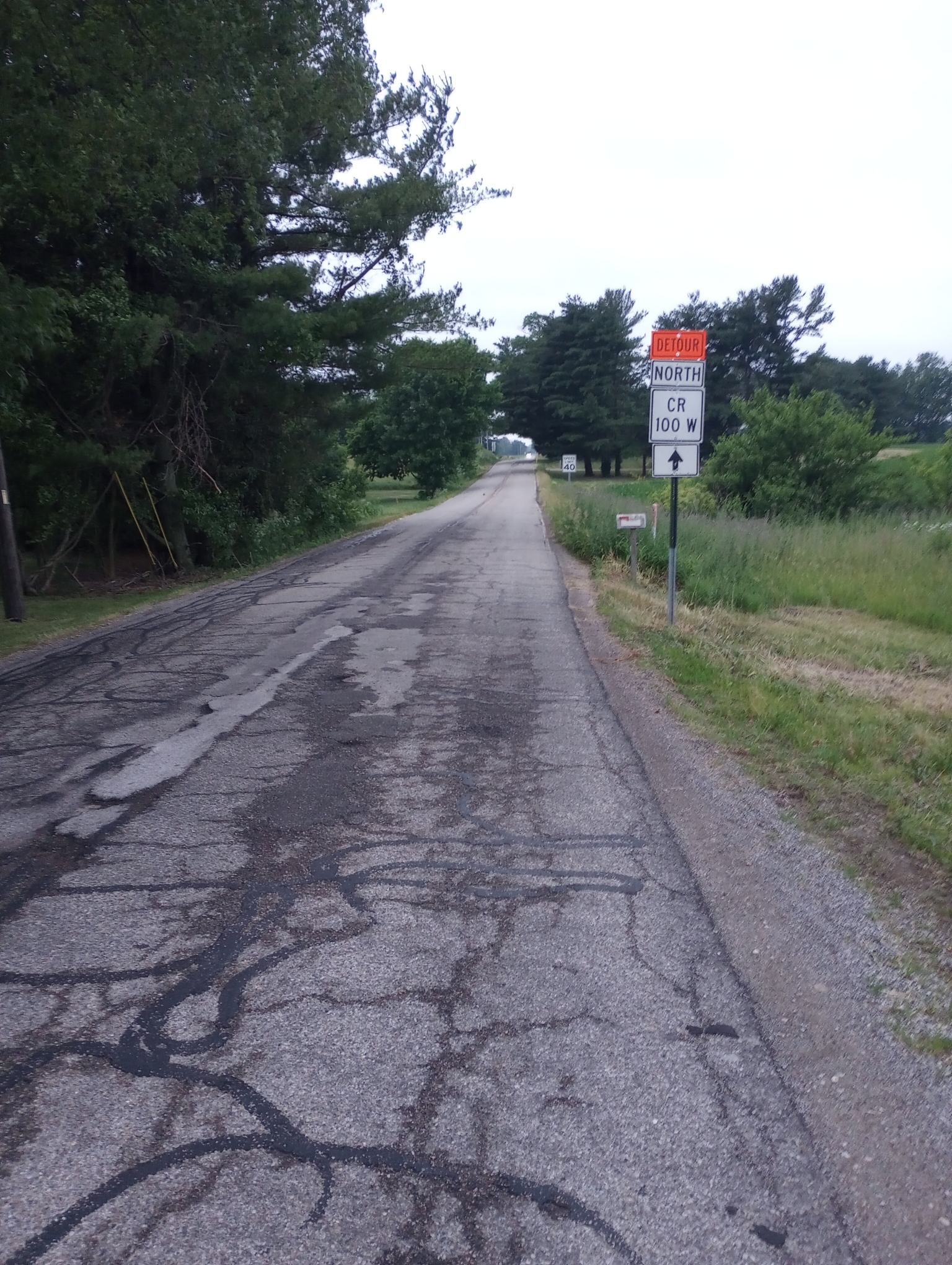
Oops. So much for RideWithGPS telling me “100% paved”. This first road was four miles of gravel. After a short section of pavement it turned to gravel again so I stopped to check my phone for alternatives. There was someone pulling out of their driveway who assured me half a mile more and then pavement to Veedersburg. Also interesting that the landmarks he used to describe intersections included power transformer stations.
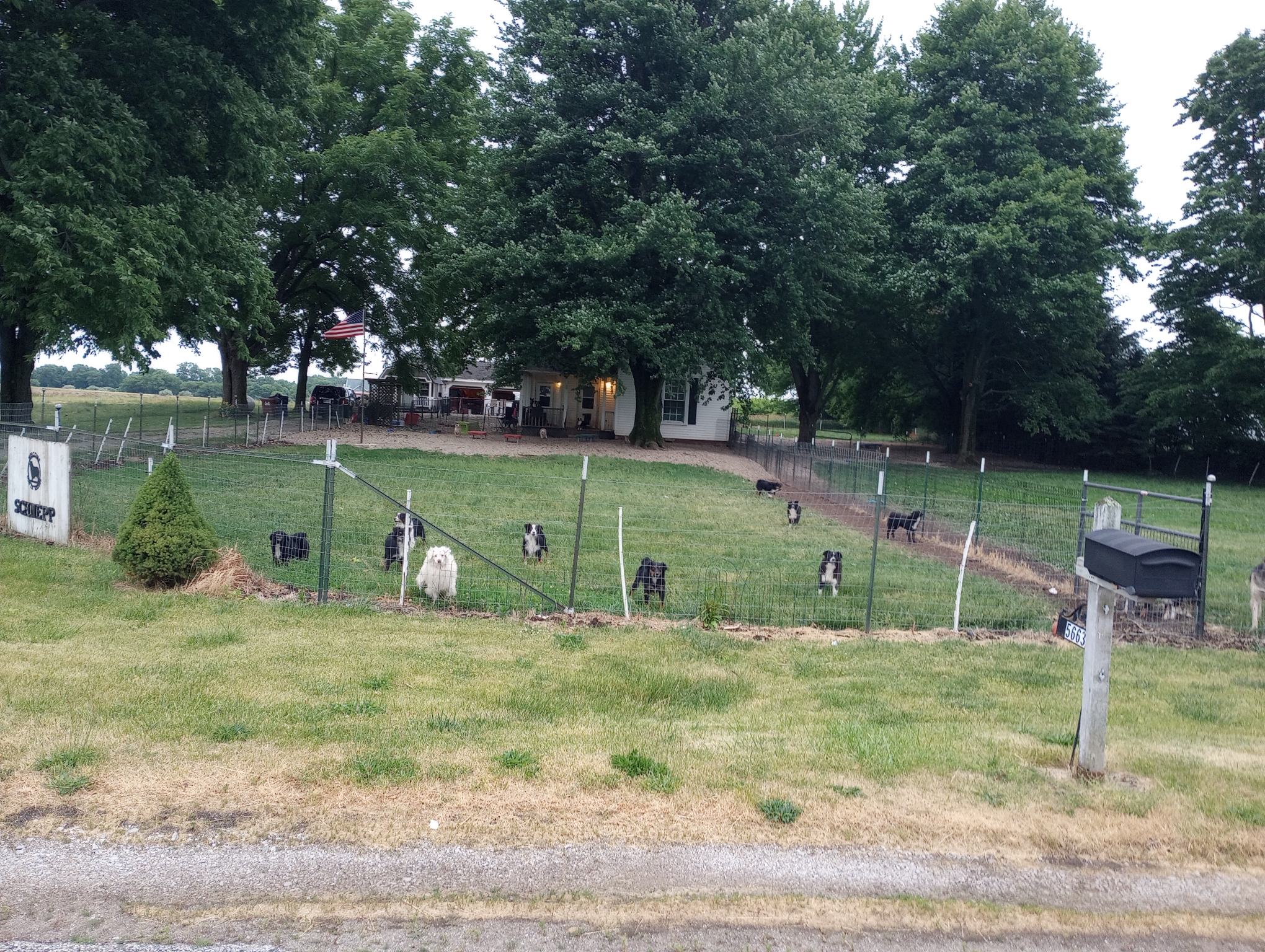
Some people have a lot of dogs. Nine in the photo above and at least as many to the right in an adjacent section. They must not have a lot of excitement because the gang all came out and barked up a storm.
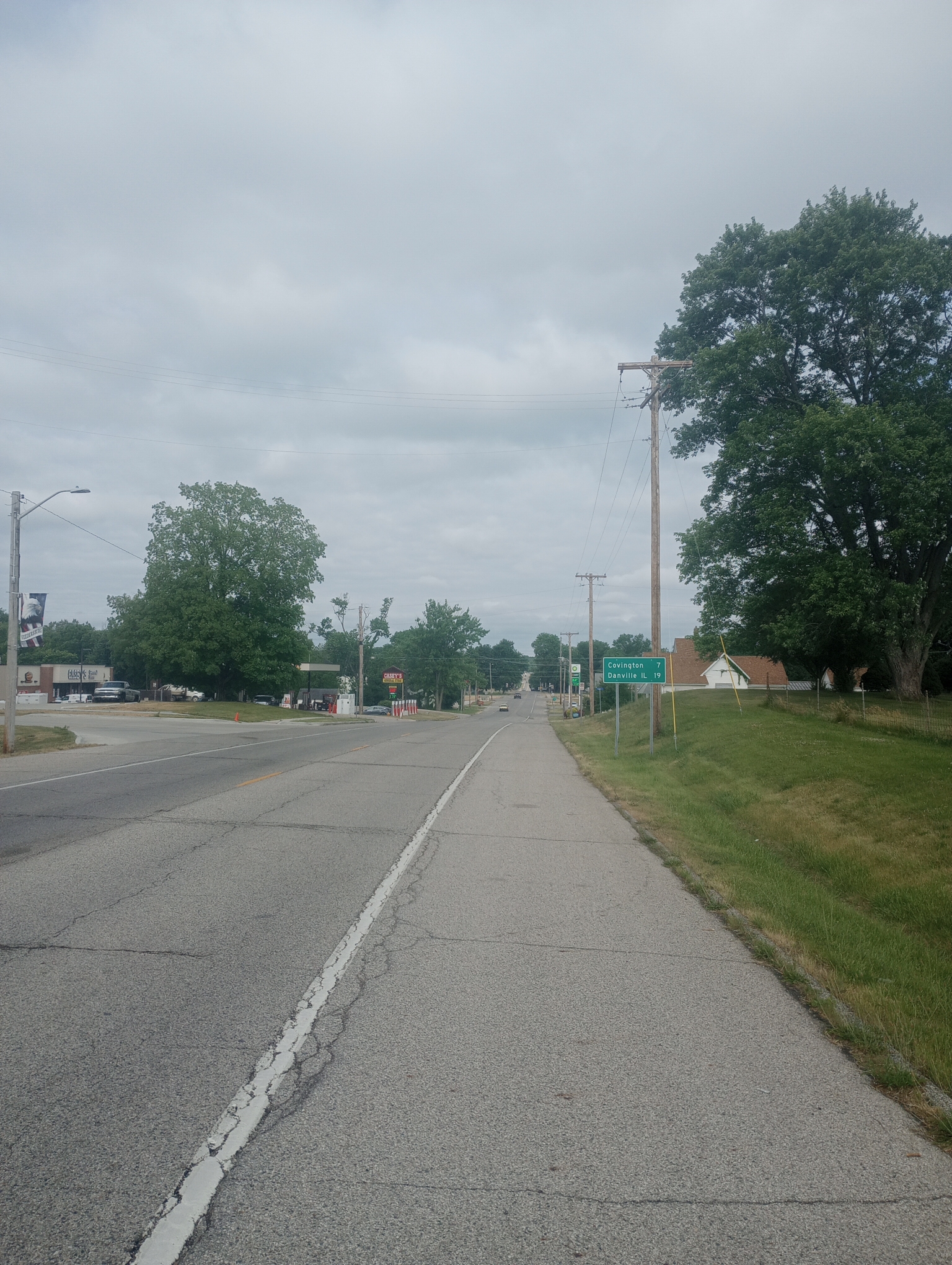
Veedersburg was a nice small town. US 136 was a reasonable ride.
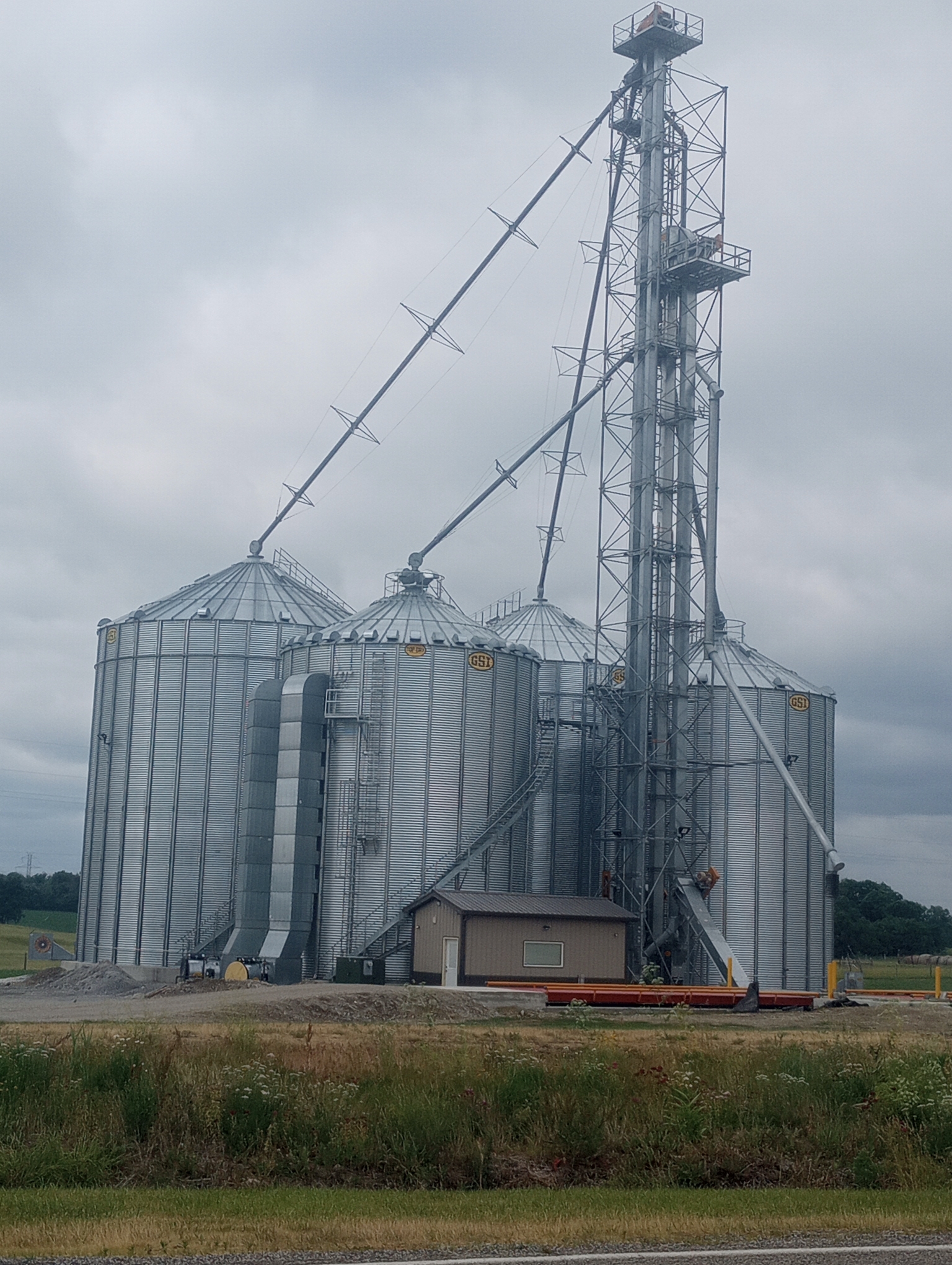
More grain silos. I saw corn today taller than knee high and generally looking healthier than further east. Also saw soybeans. There are a few wheat fields but those are more rare.
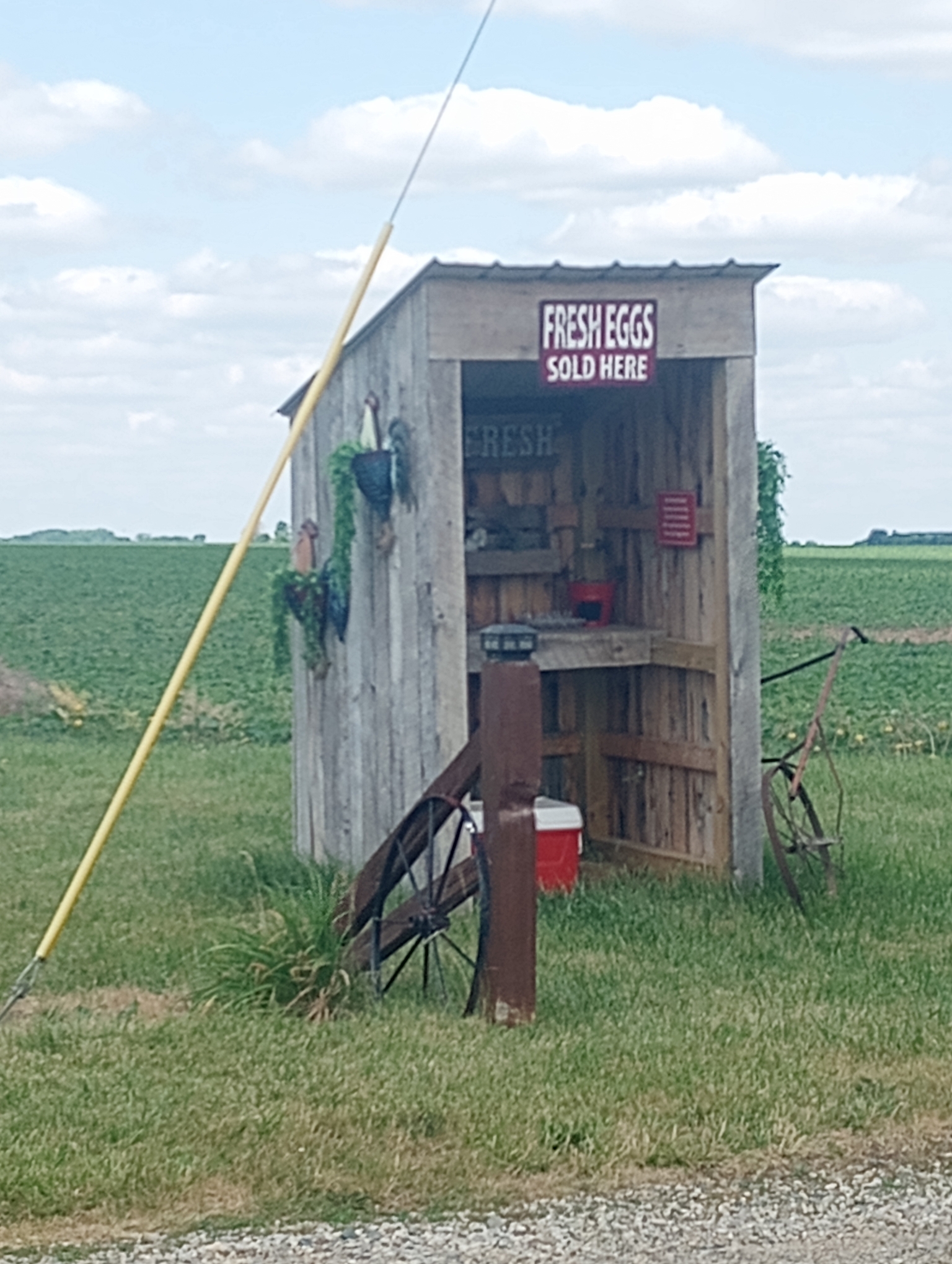
Eggs for sale in the cooler.
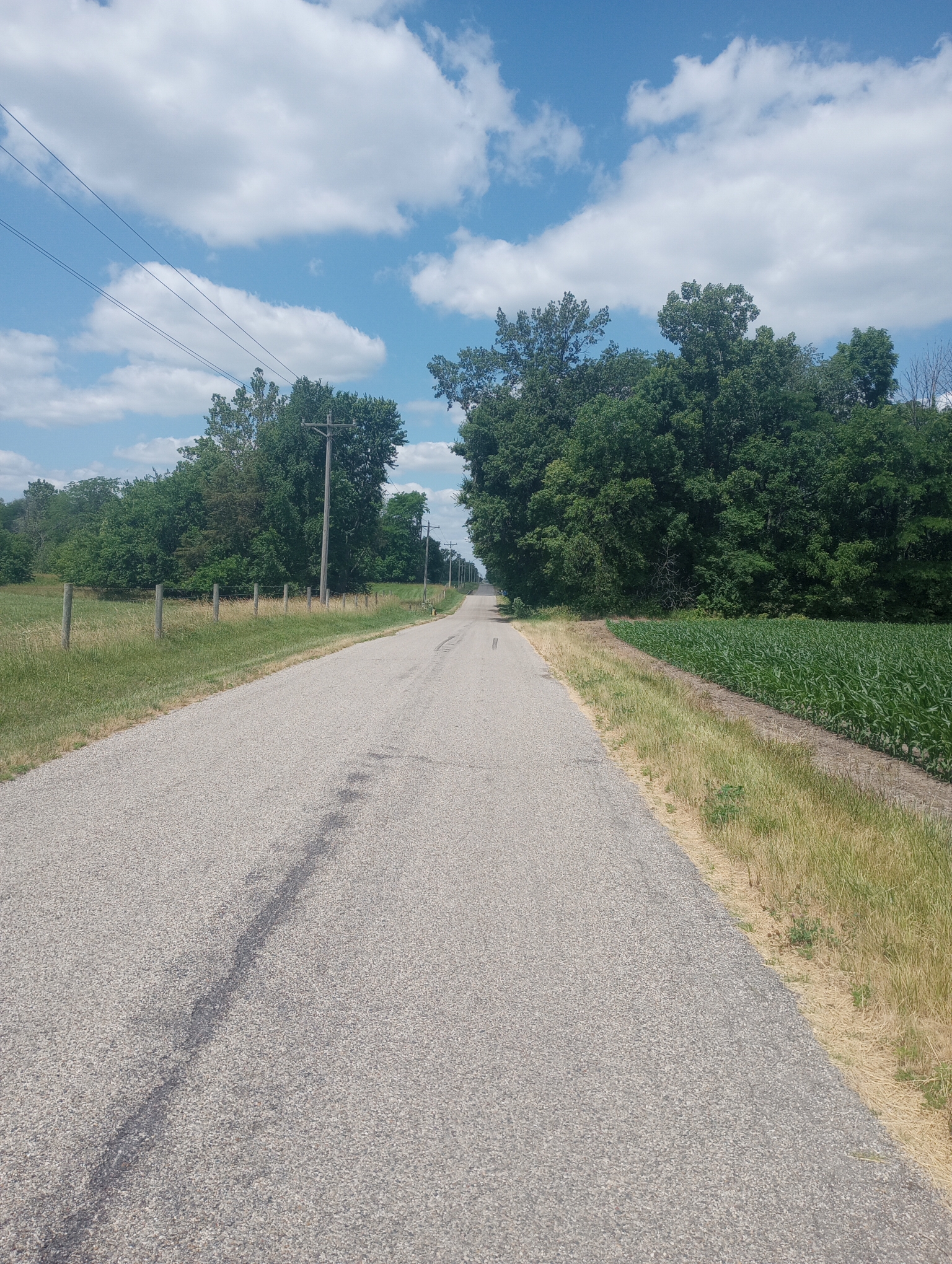
Back to much smaller roads after Covington.
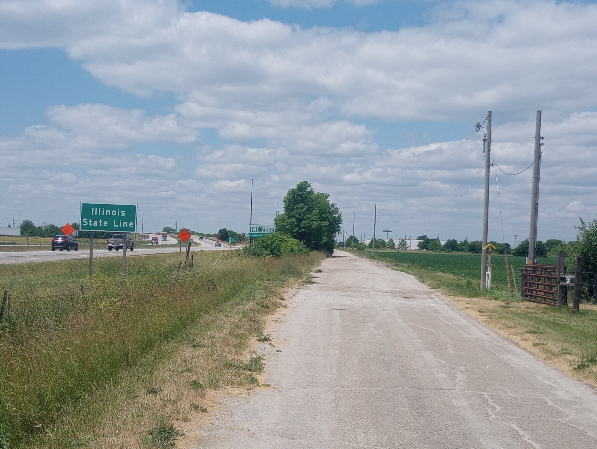
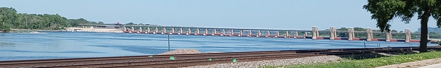
The road went right next to Interstate 74 so I could see the Illinois sign. Hooray! I’ve spent four days cycling across Indiana. This includes the National Road, trails into Indianapolis and industrial/strip mall out of Indianapolis and a lot of little country roads.
There are a set of motels next to the Interstate right at the border. However, I went another six miles to town center because that is closer to a grocery store.
The time zone also changes here, but I’ve mostly adjusted with the sun going slightly later as sunrise becomes later. I also got notice that my Adventure Cycling Route 66 map was delivered to the post office in Springfield which is nice.
Strava says: 48.19 miles in 5:47:26 for 8.3 miles/hour. A total of 1243 feet climbed and 2962 calories burned.
WP Strava ERROR 403 Forbidden - See full error by addingdefine( 'WPSTRAVA_DEBUG', true );
to wp-config.php
At least the dogs you saw were fenced in. Have you ever ridden through Kentucky and its contingent of free range dogs?
I have been fortunate with free range dogs so far. I’ve had the occasionally including a different one yesterday. I’m slow enough that will sometimes get off the bike, walk past with a loud “no!”. That got the owners yesterday to call back the dog.
Keep up the good work Mike!!! What you are doing is so impressive. I helped take care of your dad. He would be so proud of you as your mother is. It is so hard to wrap my mind around what you have accomplished thus far. Thanks for sharing your adventure and all the beautiful pictures you have posted.