Urbana, short ride against the wind
Today a ride with a mix of country roads and a gravel rail trail. The weather played a larger role with passing morning showers and winds from the west at 15-25mph. The showers and the time change meant a later start according to sunrise but earlier on the clock. The headwinds made me happy I had a shorter ride to Urbana today.

Always fun to see where the GPS route sends me. Started today with a road marked private but fortunately I was able to pass through on the other side.

Soon enough I was taking small streets to get out of town.

Another “no outlet”?

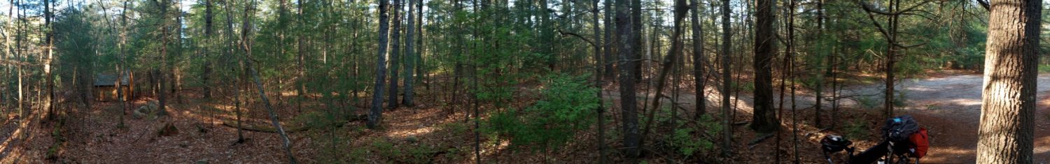
This brought me to the Kickapoo trail for 2.9 miles. This is a gravel rail trail opened in 2017 and not yet complete. For example, after 2.9 miles to Oakdale, there is a 14 mile gap where trail maps say “concept” and I was back to cycling squares in the country. Unfortunately almost all that riding was due west into the wind.

This was part of a 10.5 mile road into the wind. I put the bike in lower gear and slowly made progress. One useful thing was that while my GPS got confused again today, I figured out how to make it work again. A brief summary follows:
Problem: when my Garmin 540 thinks a turn was missed, it gets into a state where it stops telling you about new turns. It knows you are on the route so can tell you how far to go and warns if you go off route. However what it stops doing is telling about new turns. A common scenario where it thinks a turn is missed is “you are close to the start of the route, do you just want to start?”. Furthermore it seems like that missed turn confuses other routes. Deleting, reloading and restarting doesn’t seem to help.
Solution: I was in one of those scenarios and had reloaded things in vain when I looked at a set of three dots in the course menu. One of the options was “Cached course calculation”. Not sure what it did, I tried and now the GPS no longer remembered the missing turn and figured things going forward.
Nice to stumble on this since resetting and then putting in settings again was a big hammer…
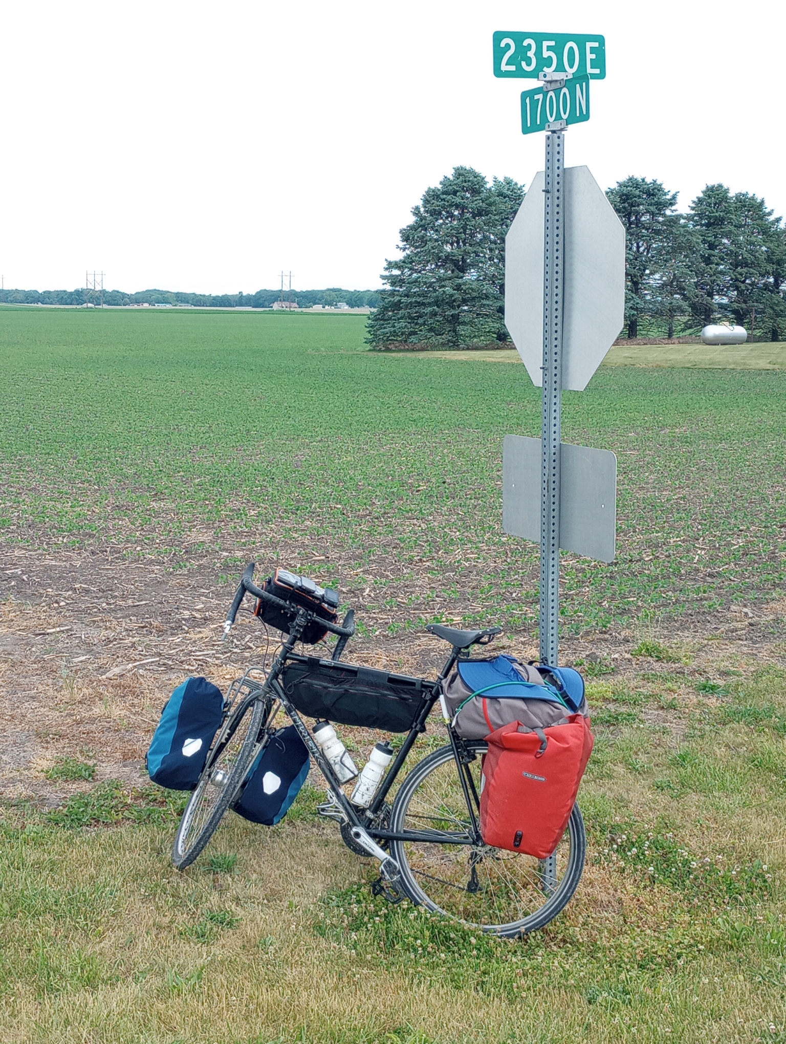
I spent 10.5 miles riding the same road into the wind to reach this intersection so figured it was worth a picture. That was the most obnoxious part of the ride since there wasn’t much to block the wind.

This brought me to St Joseph where a sign proclaimed “a golf cart community”, though I didn’t see any.

This also brought me back to the Kickapoo trail for another seven miles. This was also due west but better sheltered from the wind.
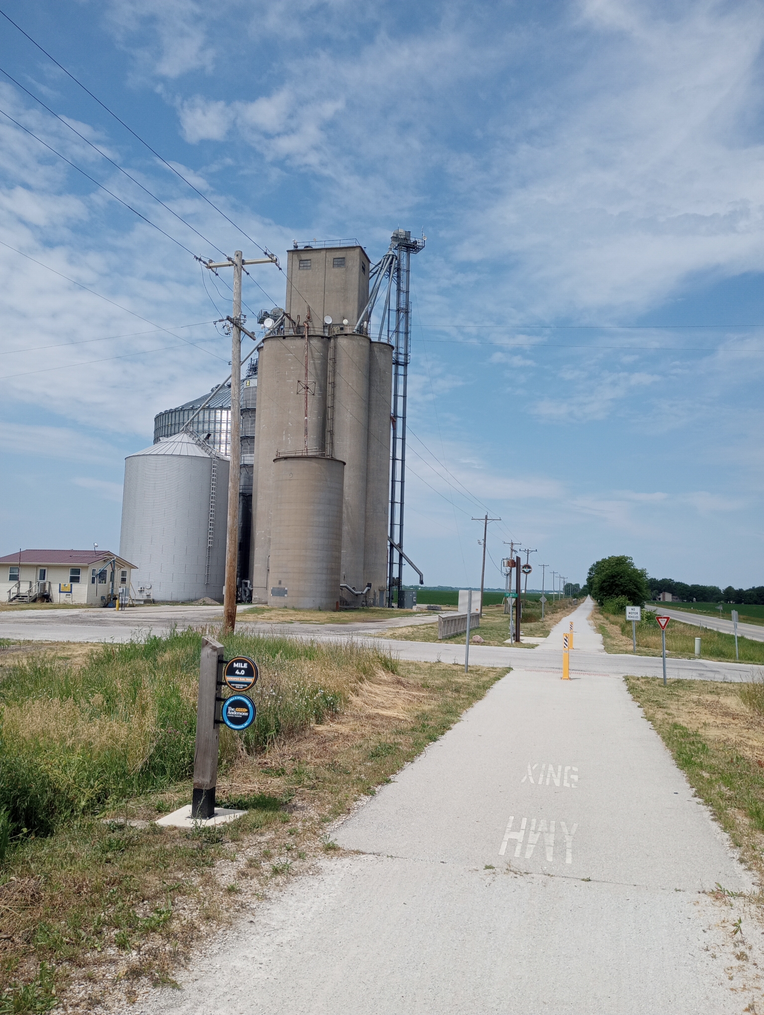
The small grain elevator seemed to be what was left of Mayview.

Sign explaining Mayview

Last few miles of city streets. Urbana is a large university town where the University of Illinois is found. Otherwise a shorter ride but a little tougher riding.
Strava says: 34.27+1.70 miles because I had lunch in town and accidentally reset. This in 4:27:29 for 8.1 miles/hour. A total of 745 feet climbed and 1996 calories burned.
WP Strava ERROR 403 Forbidden - See full error by addingdefine( 'WPSTRAVA_DEBUG', true );
to wp-config.php
WP Strava ERROR 403 Forbidden - See full error by addingdefine( 'WPSTRAVA_DEBUG', true );
to wp-config.php