
Lincoln/Council Bluffs, a Nebraska ride
Several things make today a late report compared to when I am normally done…
It rained. There was a line of thundershowers that came through this mornings. I was originally hoping they would mostly come through by ~6am and I could leave a little later. However, in the morning Accuweather showed a more substantial batch and expected to keep through 9am or so. In the end, I split the difference by waiting until 7:30am to depart and start riding in the rain and hope for clearing. That ended up as a reasonable plan though it was raining a lot for the first half hour or so.
Omaha continues to have a lot of little hills. The first 18 miles or had all the ups and downs and it got smoother after that.
I will start the next phase tomorrow going north to Pierre, South Dakota. For reasons I’ll describe later, I am starting this segment in Council Bluffs. So in addition to riding to Lincoln to see the capitol, I then rode to the airport to pick a rental car, drove back to Omaha and then cycled on to Council Bluffs.
Internet was rather flaky and slow both the wifi in the motel and cell service as well. Hopefully this will complete to let me post.

The picture above shows the “heat map” between Omaha and Lincoln. You can see two slightly brighter lines. One goes through Elmwood and is ~60 miles and is more on trails and at least half unpaved. It also has more climbing. The other line goes between Ashland and Waverly. It follows a major highway (US 6) but has a reasonable shoulder the entire distance. In the end I decided the busier route because it was shorter/more direct, somewhat less climbing and wouldn’t have mud issues if it rained. Overall that worked pretty well.
I started out and put my phone in ziplock bags and didn’t get any photos during the first rain.
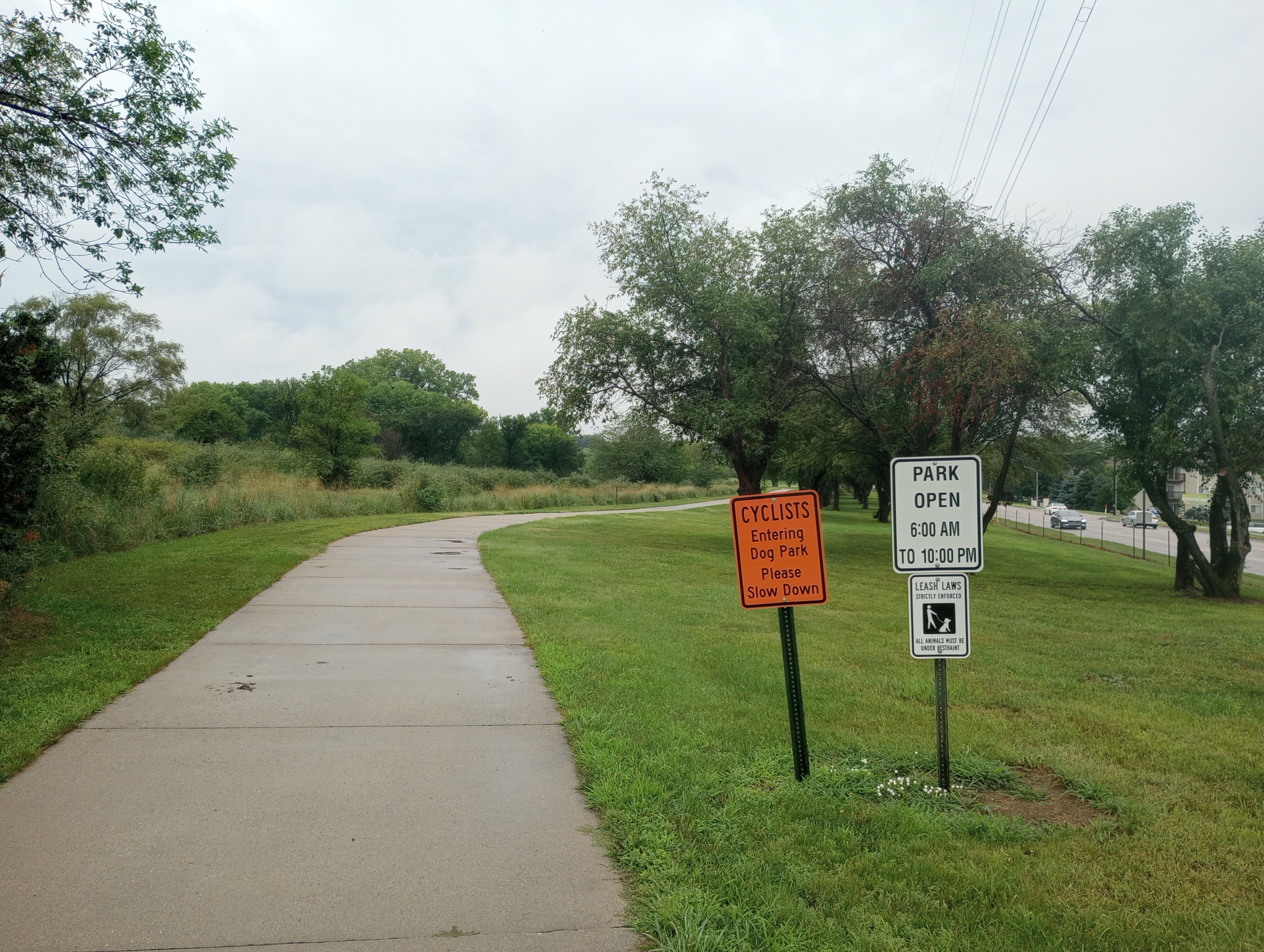
Through Omaha it was a lot of trails as well as hilly. Hooray, the rain has mostly stopped and I now cross a dog park. I didn’t see any dogs though.

Eventually I was in suburban areas with new homes. This wasn’t far from Gretna and the last large hills.
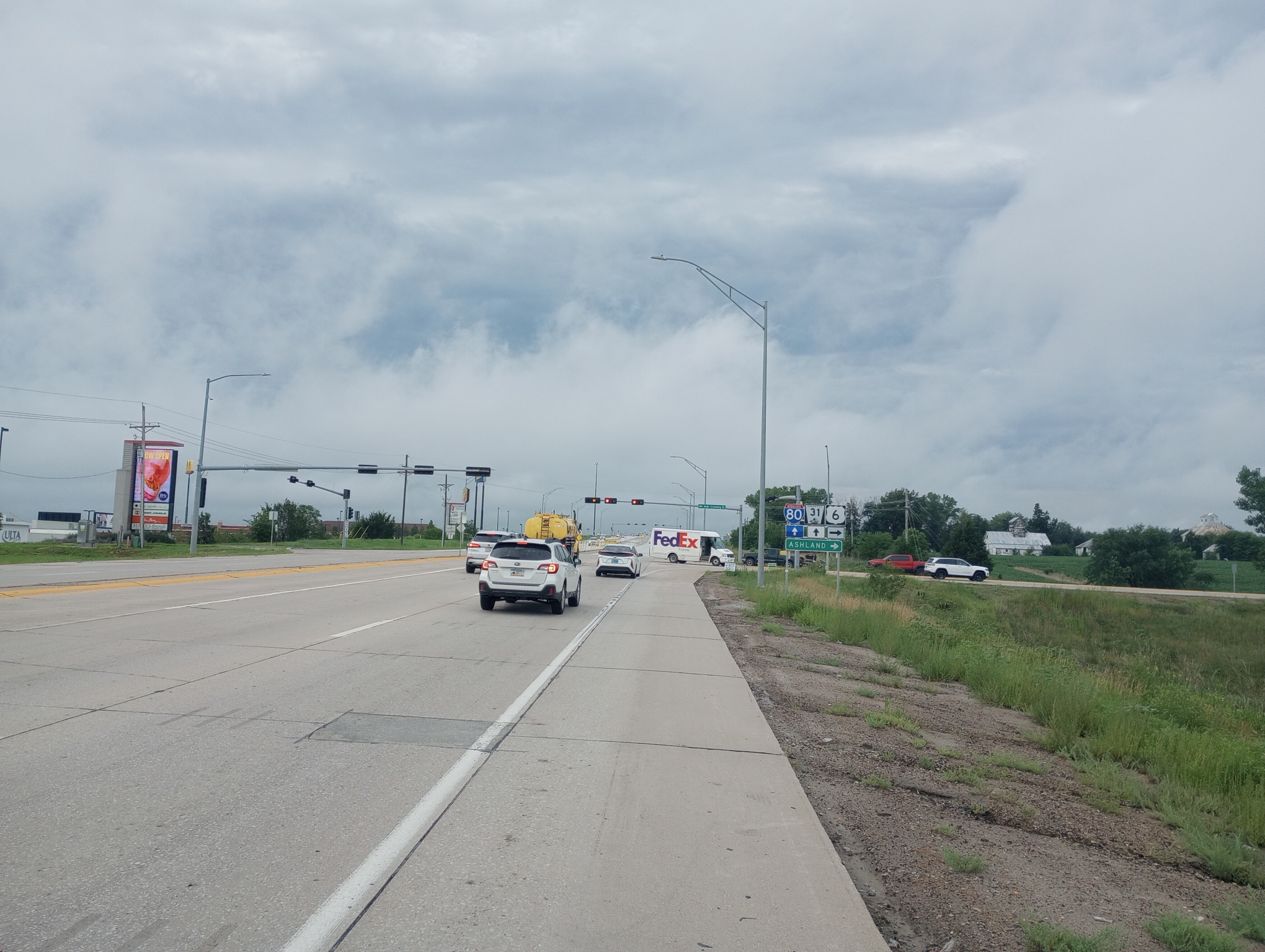
Starting on US 6. This route is parallel to Interstate 80 so I expect most of the through traffic on I-80. I still had more traffic than usual on US 6 though the shoulder was nice.

Linoma Lighthouse now a property development and close to the shore of the Platte River.

These guys were fishing on a river close to the Platte. The Platte itself was wide but didn’t look particularly deep.
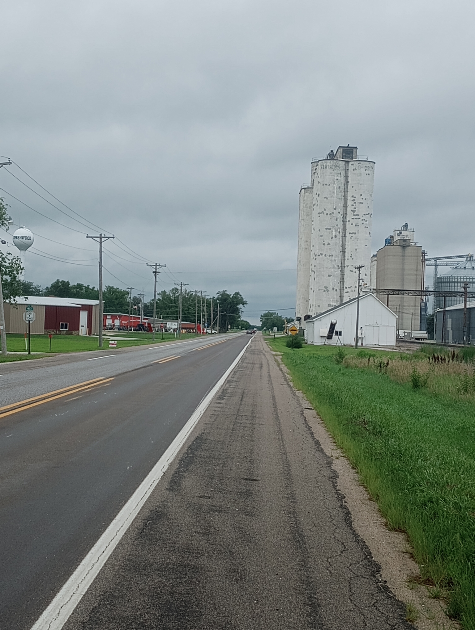
Greenwood, another small settlement I crossed. By now the traffic was minimal and I still had a reasonable shoulder.

As I got close to Lincoln, my route went back along a set of trails. Those trails are sometimes a mixed blessing when they have more cracks and bumps.

I reached the state capitol downtown. Nebraska wins the prize so far for biggest ratio of height to width.

Now it was time to bicycle to the Lincoln airport and pick up a rental car.
So why backtrack? What I want to do is ride the Adventure Cycling Lewis and Clark route. I thought about cutting directly north via Fremont, though it seemed like the places to stop over were easier to find and follow along the Missouri River itself. Depending on how much the route climbs over bluffs it can still be hilly but otherwise is a nice combination to ride. This however meant backtracking to the route in Council Bluffs.

Fit everything in a rental car and drive to Omaha.

Drop my stuff at the motel, drop the rental car at the airport and bicycle back across the pedestrian bridge to Council Bluffs.
Below is first the morning ride to Lincoln and then the ride from the airport. That weird tail on the airport ride? This was a case where RideWithGPS picked a route that went via closed roads. Unfortunately they went along the prison and the guards there weren’t exactly happy to see my cycling past so I ended up backtracking. All this made for a long day though an interesting set of rides. Now it is time to start the next phase of bicycling roughly along the route taken by Lewis and Clark.
WP Strava ERROR 403 Forbidden - See full error by addingdefine( 'WPSTRAVA_DEBUG', true );
to wp-config.php
WP Strava ERROR 403 Forbidden - See full error by addingdefine( 'WPSTRAVA_DEBUG', true );
to wp-config.php